Balk and Bagby from Sutton Village
7 miles Sun and showers
We drove into Sutton-under-Whitestonecliffe on the A170 from the A19 and parked in the Whitestonecliff Inn Car Park. Tom Scott Burns tells us that hikers are welcome to use the inn's car park and twenty five years later the present innkeeper confirmed that is still the case. We promised him we would be in for a pint after the walk.
 |
| Today's walk from The Walker's Guide to the Hambleton Hills |
 |
| The view from the car park at The Whitestonecliff Inn |
We walked from the pub and turned right onto the A170 which we followed through the village, spotting several interesting weather vanes.
 |
| Weather vanes in Sutton-under-Whitestonecliffe |
This is a busy road and traffic whizzed past us as we crossed the bridge over Sutton Beck and turned left off the road and into a track at a footpath sign.
 |
| The Whitestonecliffe Inn |
 |
| Derelict property on the high street |
 |
| Turn left off the A170 at the footpath sign |
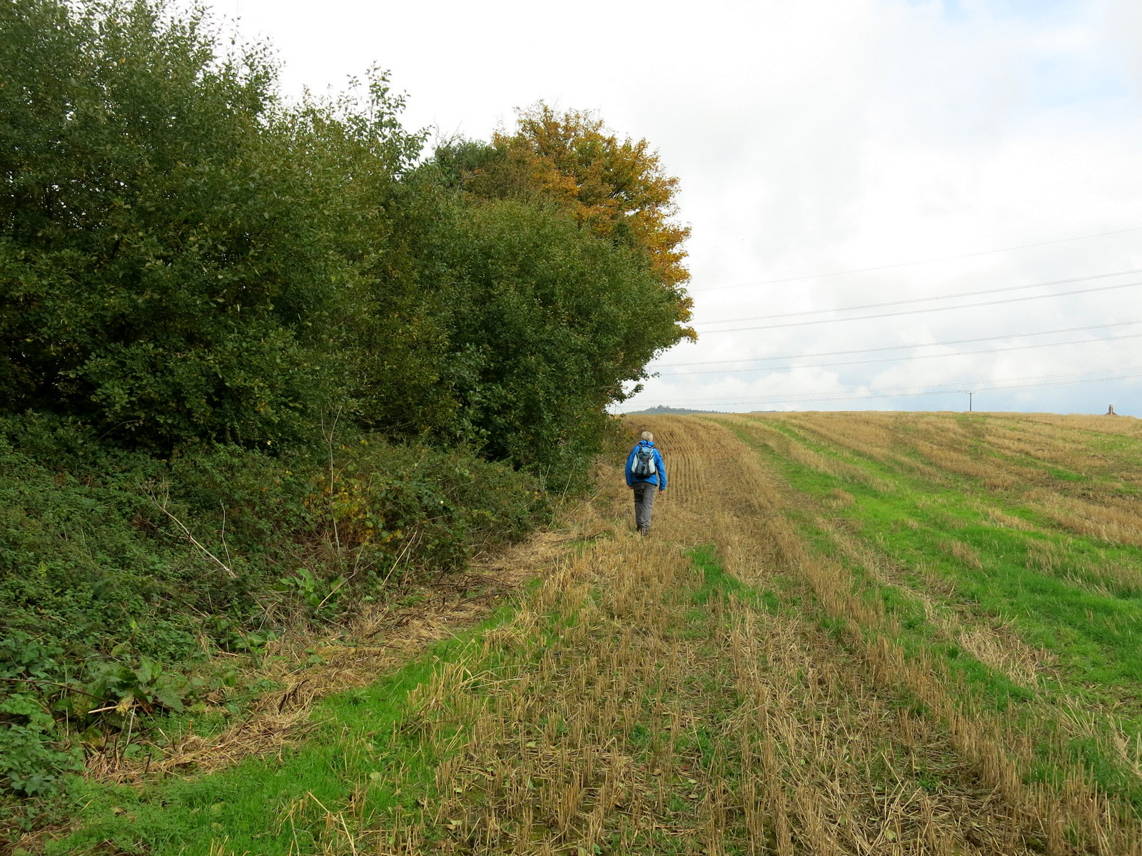
Our route led us straight across a field to a stile which we needed to cross, however a large herd of heifers waited in anticipation on the other side of the stile. There was no way round and nothing for it, we would have to walk into their midst or turn back. As we climbed onto the stile our sudden increase in height startled the beasts and they backed away in alarm. The field was quickly negotiated and took us alongside the town's sewage
works, then on through more fields next to Sutton Beck, until it
emerged beyond a static caravan park at the tiny hamlet of Balk.
TSB
tells us that Balk originates in the Old English 'balca' or 'bank' and
would have applied to the ridge of land between Balk Beck and Hood Beck.
 |
| Er.. excuse me please |
 |
| Footpaths alongside Sutton Beck |
 |
| Criss-crossing the beck |
 |
| Approaching Balk |
 |
| Path at rear of hosues in Balk |
 |
| Emerging on to the road at Balk |
We walkied into Balk and admired its three storey mill, now renovated into housing, and opposite it the old mill buildings which have been taken over by a furniture manufacturer.
 |
| The old mill |
 |
| Mill buildings now used for furniture manufacture |
We joined the road at Balk and remained on it, heading west until we reached the larger village of Bagby where we turned left onto a track near new housing just before we entered the village.
We headed south along this track, towards
Thirkleby. We passed by another caravan park and the grounds of
Thirkleby Hall before emerging on to the road at Thirkleby, by the picturesque old
school house whose clock was accurate to the minute.
We walked through the village and came to the isolated church of All Saints. The last time we came this way, in 2014, the church steeple was being renovated and the scaffolding that was around the tower then has now been removed.
We entered the churchyard and found a memorial bench, which we moved to face the sun before sitting to enjoy our coffee and scones.
 |
| Field track between Bagby and Thirkelby |
 |
| Approaching Thirkelby |
 |
| Clive is pleased to see a defibrillator at the parish hall. "You never know...." |
 |
| The old school house (spot the cat!) |
 |
| Cottage garden at the school house |
 |
| We leave the village and walk towards.... |
 |
| .... the isolated church of All Saints |
After restoring the bench to its rightful position we looked around the church which was unlocked, and deciphered some of the old gravestones, whose verses are almost lost to erosion.
 |
| All Saints Church, Thirkleby |
 |
| Looking towards the altar |
 |
| The altar window |
 |
| One of the altar side windows |
 |
| A description of work carried out in 2014 |
 |
| New Ringers welcome! |
All Saints is nicely kept and interesting to walk round. It was bigger than one would
expect for the size of the village, with fine stained glass windows
picturing St George and St Martin. We left the building and went into the graveyard where the eroded inscriptions on some of the gravestones reminded us of how fragile life was for our ancestors.
 |
| "Weep not dear friend, my course was run. It was the Lord, His will be done. In love she lived, in peace she died. Her life was asked, but God denied" |
 |
| 'Weep not for me my parents dear, but wipe away the painful tear, weep not for me relations kind, but weep because you are left behind. I've with my saviour gone to rest, and shall forever with Him be blest' |
Leaving the church we walked back to the
road then crossed straight over to join a field path leading to a
footbridge, then quickly on to the Little Thirkleby Road, where we turned
left to walk parallel with the route we had followed into Thirkleby,
this time to the right of Thirkleby Beck.
We saw a couple of horses in a field and were amused to see one of them in a mask that must have made eating very difficult. We wondered at the purpose of the mask. Was it to stop the horse eating, perhaps because it was too fat, or was it to stop it, Hannibal Lecter style, from biting the other horse in the field?
 |
| "...some fava beans and a nice chianti" |
 |
| I can still suck the grass in...! |
 |
| Crossing the beck, now called Balk Beck |
 |
| Walking north, parallel with Thirkelby where we had just been walking south |
The next bit of the walk became rather
tricky as we could find no way-mark signs (most unusual!) We walked along field edges using the GPS to ensure we stayed on footpaths. At one point we came across a large field where tups had been put in with the ewes. The rams were a mixture of Suffolk and Texel and were fitted with a harness that marks the ewes after they have been serviced.
 |
| Through some orchards |
 |
| ... and across fields. |
 |
| No sign of paths but we are on a right of way |
 |
| Rams in harnesses |
 |
| "Do you come here often?..." |
Field
enlargement appeared to have swallowed up the footpaths described by
TSB. At one point an enormous field had obliterated the path and we used the GPS to keep exactly on the track as we marched across the field, through which green shoots were just starting to appear.
Perhaps
a problem to be expected with Tom Scott Burns's walks is that paths are
so little used that farmers feel entitled to plough them up.
Continuing across these fields we found that the farmer had ploughed
right up to the edge of the field removing the footpath completely and
making walking difficult.
 |
| Our gate is overrun with brambles and the right of way sign is not to be seen |
 |
| Clive forces his way through the gate |
 |
| Using the GPS to negotiate a ploughed field |
We reached the large farm of Low Osgoodby Grange and from Osgoodby Grange we followed the farm's track to the tarmac road
where we turned left, heading back towards Balk. In the distance we
could now see Whitestone Cliff.
 |
| Whitestone Cliff and rainbow |
 |
| Our first way mark since Thirkleby |
 |
| The mud is a foot deep... |
 |
| ... so we leave the footpath to walk round it |
The last ten minuts of our walk was in heavy rain as we followed our track, now clearly
way-marked, across fields towards the road at
Sutton-under-Whitestonecliffe.
 |
| Sutton appears in the distance |
We quickly changed out of our boots and presented ourselves at the bar of the Whitestonecliffe Inn for a couple of pints of York Guzzler Ale.
Today's walk was level, easy walking but careful preparation of one's route is necessary, preferably with OS Map or GPS, as wayfinding is particularly difficult after Thirkelby.