Wass to Cockerdale and Byland Abbey
7 miles Fine and breezy
We approached Wass from the A19 Thirsk turn off, via Coxwold, and parked in the village hall car park near to the tiny Church of St Thomas.
 |
| Today's walk from The Walker's Guide to the Hambleton Hills |
 |
| Village Hall and car park |
The church was unlocked so we entered and found it to be clean and tidy with a capacity of about 40. Tom Scott Burns doesn't mention the building but it once served as the village school and appears to have been built using stone from nearby Byland Abbey.
 |
| Church of St Thomas |
 |
| Inside Church of St Thomas |
TSB does tell us, however, that Wass comes from the Middle English wathes, meaning fords, the village having two such crossings.
We walked back down to the crossroads and turned right at the Stapylton Arms. A couple of years ago this was the Wombwell Arms and we would enjoy a pint at the end of our walk, but now renamed it closes between lunchtime and evening. If we are not to go home thirsty this will necessitate a visit to the Fauconberg Arms in Coxwold later today.
 |
| The Stapylton Arms |
 |
| Ignore the No Through Road sign and follow the road |
We walked away from the pub along a road that soon loses its tarmac and becomes little more than a track.
We passed a sign to Cam Farm and Observatory, the only sign for the observatory that we noticed, then passed through woods with Blind Side Gill to the right and Abbey Bank Noddle to the left. This was a steady climb that suddenly became steeper as we followed our path off the track to the ridge of Snever Scar.
 |
| Blind Side Gill to the right and Abbey Bank Noddle to the left |
 |
| Climbing on to Snever Scar ridge |
 |
| Walking along Snever Scar |
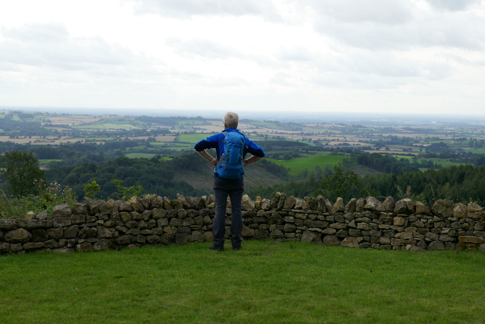
TSB praises the surprise view of the Vale of York from Snever Scar but that has long since been spoiled by quick growing saplings. The path leads along the ridge and then descends until it reaches a track that makes its way left uphill, just before reaching a gate and open fields.
Take the track to the left before the gate in order to see the observatory. The woods are little walked and the paths are a mass of briars but we like to visit the observatory, hoping that one day we will find it unlocked for our inspection and that someone has felled the saplings that obstruct the view. Sadly that was not to be our experience on today's visit.
 |
| We reach the Observatory |
 |
| "Here hills and waving groves a scene display, And part admit and part exclude the day, See rich industry smiling on the plains, And peace and plenty yell VICTORIA reigns!, Happy the MAN who to these shades retires, Whom nature charms and whom the muse inspires, Who wandering thoughtful in this silent wood, Attends the duties of the wise and good, To observe a mean, be to himself a friend, To follow NATURE and regard his end" |
|
 |
| John Wormald in the first year of the reign of Queen Victoria caused this observatory to be erected |
We retraced our steps through the wood to the gate where we turned left into fields.
According to TSB these fields were the scene of the Battle of Bylands in 1322, when King Edward II was defeated by Sir Robert de Brus of Scotland. The King only escaped by 'the very pity of Christ' leaving behind in his flight the royal treasure and the crown jewels. This would be a great field to search with a metal detector!
 |
| Walking through the battlefields |
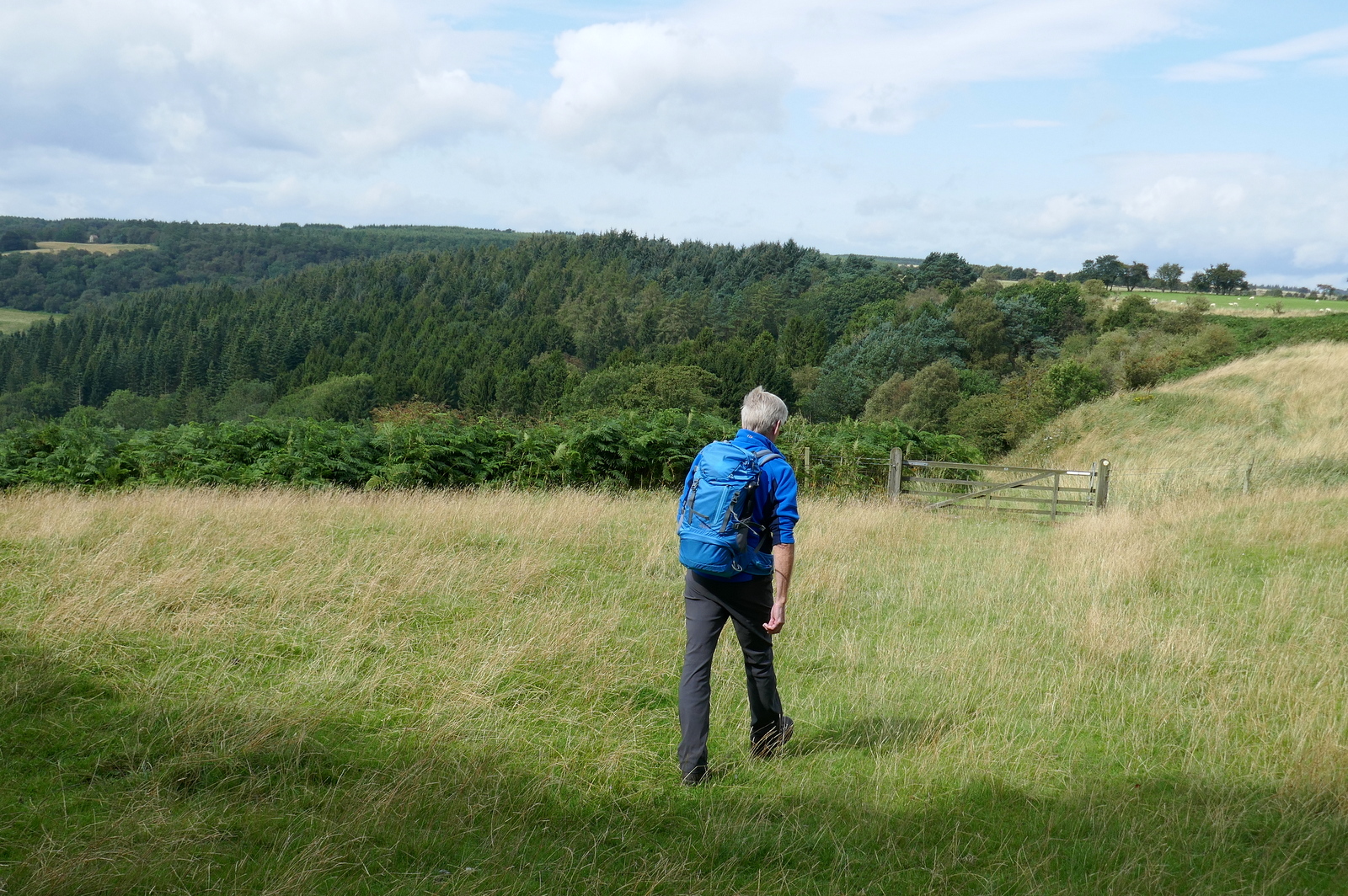
Our path led us to Cam Farm and then Cam House. Here we had to keep a lookout for way markers, before reaching Cockerdale Wood.
 |
| Approaching Cam Farm, Cam House in the distance |
 |
| Barn pigs at Cam House Farm |
 |
| Cam House |
 |
| Scotch Corner Chapel in the distance |
After Cam House we passed through a gate into Cockerdale wood where we had a tricky and slippery descent through the trees, eventually emerging on a field before Cockerdale Farm.
 |
| Approaching Cockerdale Wood |
 |
| Into the woods... |
 |
| .... and a steep and slippery descent |
 |
| ... to Cockerdale Farm |
We had to negotiate two farm gates by walking along the bottom rails as the mud was very deep. We then climbed up a hill where we paused to look back towards Byland Moor. There was no wind here and the sun was warm, too good a spot to pass when there was coffee and scones to be had for lunch.
 |
| Coffee and scones gazing back at Cockerdale Wood |
 |
| We notice Mount Snever Observatory peeping above the trees |
After a pleasant break we set off and soon reached a track at Mode Hill where we turned right to climb sharply past masses of pink Himalayan Balsam. After a tough quarter of a mile we reached the little chapel at Scotch Corner. TSB tells how this was built by the sculptor John Bunting,with stone from an old farmhouse and that it is dedicated to three pupils who had been killed in WWII.
 |
| Large fungus on Mode Hill |
 |
| Himalayan Balsam |
 |
| A fine display... but not a welcome one |
 |
| The Chapel at Scotch Corner |
The grass has recently been mowed and trees removed to provide a fine view from the chapel.
 |
| The village of Oldstead from the Chapel |
 |
| It would be nice to see inside but the chapel is locked |
 |
| John Joseph Bunting sculptor and artist of Ryedale built this chapel 1957 + died 19 November 2002 aged 75 |
 |
| Picking out landmarks from the Chapel |
 |
| Sign behind glass at the Chapel |
We retraced our steps down Mode Hill, finding the going much easier downhill, and we carried on to join a tarmac road for a hundred yards before turning left past the impressive building of Oldstead Hall, built by John Wormald who also constructed The Observatory. Here we paused to say hello to a friendly donkey.
 |
| Mode Hill |
 |
| Exmoor Ponies |
 |
| Weather vane at Oldstead |
 |
| Approaching Oldstead Hall |
 |
| "Down a bit, that's it!" |
We passed the hall and walked through wet fields before turning right onto the tarmac of the Oldstead to Byland Road then left to walk through fields once more and passing by Oldstead Grange Farm and then Cam Heads Farm.
 |
| Oldstead Hall |
 |
| Damaged gate |
 |
| Seat with 'beast protection' |
 |
| Turn left here to Oldstead Grange Farm |
 |
| Southdown sheep at Oldstead Grange Farm |
 |
| Eucalyptus tree at Oldstead Grange Farm |
We now crossed a series of linking field tracks to reach the ruins of Byland Abbey. It is still apparent what an imposing building this must have been in its day.
 |
| Follow the signs.. |
 |
| Field paths |
 |
| The White Horse in the distance |
 |
| Byland Abbey appears ahead |
 |
| Byland Abbey |
TSB tells us that the church, in itself 330 feet long, was fringed by chapels and columns, only traces of which remain. When the Abbey was dismantled in 1540 after the suppression of the monasteries by Henry VIII it housed 25 monks as well as the Abbot. An interesting webpage about the monastery, showing a reconstruction of how it looked in its heyday, is here!
We walked past the Abbey ruins, admiring a Spitfire weather vane at the house opposite, and continued to Abbey House where we watched a hedgehog busy among windfalls, before crossing fields that took us back to Wass.
 |
| Weather vane at Byland Abbey |
 |
| Weather vane at Abbey House |
 |
| Busy hedgehog |
 |
| Looks like our path goes through the cow field... |
 |
| I send Clive on ahead to negotiate.. |
 |
The end of the walk!
|


