A Tour of Raisdale from Chop Gate
7 miles Sunny with cool breeze
We parked at Chop Gate Community Centre on the B1257 where there is space for many cars.
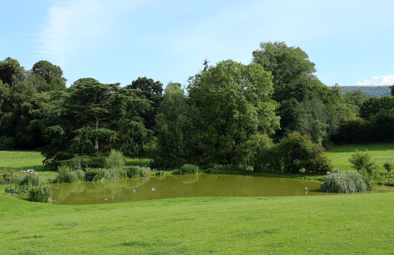
After booting up we climbed over a stile at the rear of the car park and followed a faint trail next to Raisdale Beck, across meadows towards Cock Flat Farm.
 |
| Today's walk from The Walker's Guide to the Cleveland Hills |
 |
| Leave the car park by the stile in the corner |
 |
| Following Raisdale Beck |
 |
| Cock Flat Farm |
 |
| Sheep at Cock Flat Farm |
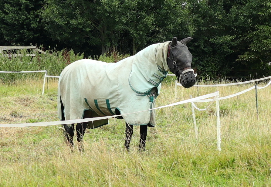
The path stays well below Cock Flat Farm, which Tom Scott Burns says comes from Kyrkflat, denoting Church field. Cock Flat Farm is a sheep farm and there were many sheep and a few rams in the fields nearby.
Our path then wandered through several fields climbing above Raisdale (Reith's Valley, an old Norse personal name) and into tall bracken where we almost lost sight of our track.
 |
| Looking across Raisdale |
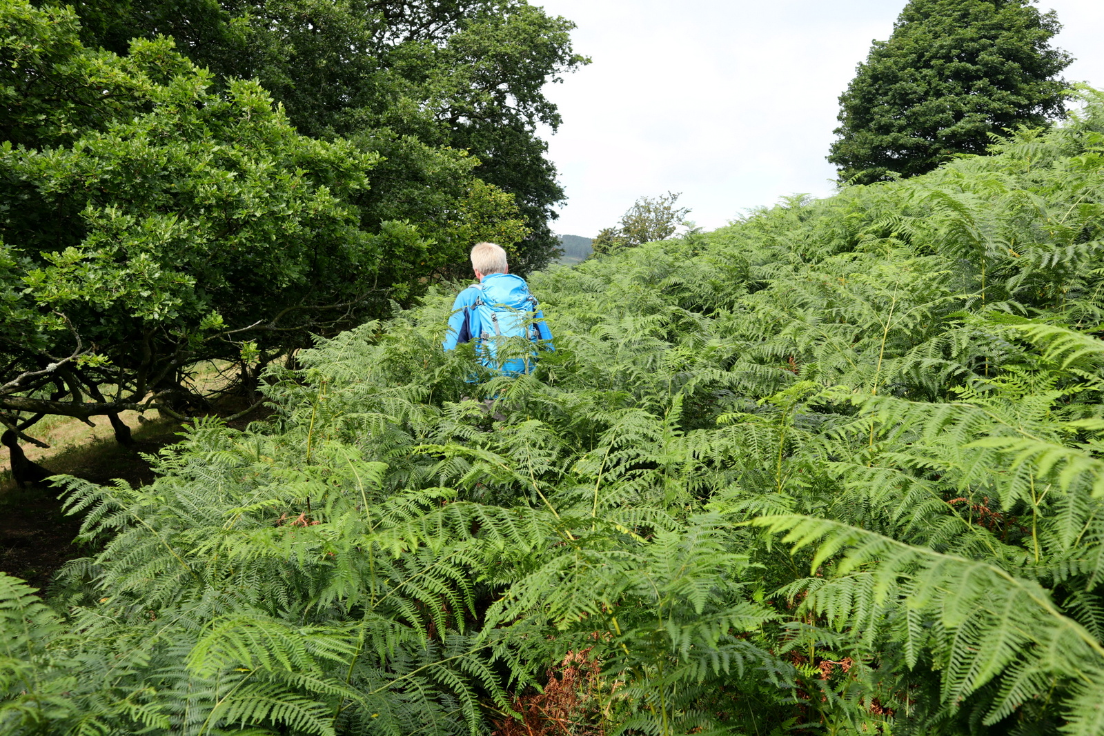 |
| Into the bracken... |
 |
| Clive pauses to look down... |
 |
| ... on West Cote Farm |
When not distracted by the bracken we had fine views across the valley towards Raisdale Mill and above it, Barker's Ridge.
After passing above West Cote Farm and the buildings of High West Cote Farm we dropped down to reach a tarmac lane, just before the well ordered Stone Intake Farm. Immediately after passing its buildings we climbed a stile through a hedge on our left, and descended across a field to Raisdale Road.
 |
| Ladder stile out of the bracken |
 |
| Through a gate near High West Cote Farm |
 |
| High West Cote Farm |
 |
| Looking across at High House Farm and our path to Barker's Ridge on the skyline |
 |
| Passing Stone Intake Farm.. |
 |
| .. and its two weather vanes |
 |
| Stone Intake Farm |
 |
| Leave the road at this stile |
We turned right to follow the old lane across a bridge. In fact this lane is so old that TSB notes that it is referred to in the 1160 Rievaulx Charters as the 'Red Road', perhaps derived from the red shale in this area.
After a couple of hundred yards we turned left off the road at a sign for Raisdale Mill, originally built by John Garbutt in 1849, which ceased operating in the 1920s.
We walked past the restored buildings, now attractive homes, before turning sharp right into what Tom Scott Burns describes as 'a most beautiful green lane.' Sadly years of motorcycle trail bikes mean it is a green lane no more, however motor vehicles are now banned and so in a few years it might be restored to its former glory.


We reached the top and Barker's Ridge, with the rocky outcrop of Barker's Crag to our right. We followed the ridge to pass by High House and continued climbing until we came to a gate on our left. Here we entered the gate and settled down behind a stone wall to enjoy our coffee and scones in the lea of the wall, with a fine view back of our walk so far.
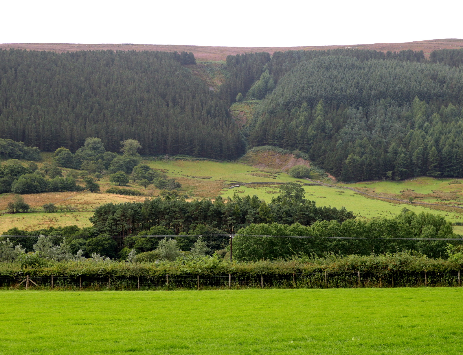
After coffee we resumed our walk along Barker's Ridge towards the head of Scugdale. The heather was in early bloom and there was a strong smell of pollen. After half a mile or so we came to a surprise view of Scugdale and we paused to pick out Holiday House and Scugdale Hall before resuming our march across the moor.

This is a 2.5 mile march across the moor which we thought a trudge 18 months ago when we last came this way. This time our walk was made interesting when we saw what appeared to be the remains of an old building, about 50 yards from our path.
We went over for a look and decided the stone work actually appeared to be concrete. A little further from the path there was a sunken rectangular area, obviously man made. We wondered what it could be and in the end thought it might be gun emplacements or similar, from WW2.
Later I did a Google search on these remains and found the following:
https://commons.wikimedia.org/wiki/File:Concrete_Foundations,_Arnsgill_Head_-_geograph.org.uk_-_55077.jpg
This states that the purpose of the foundations is unknown but believed to be military, possibly a decoy station from WW2.
Our path eventually led us to Head House which we have seen change over the years, from a ruin to a store where game bird feed and equipment is kept. The building is never locked so is a useful shelter and today just as we arrived a sudden squall of rain sent us inside.
The rain passed and we left Head House. In TSB's map above he shows three stone walled fields adjacent to Head House and in the last corner of the third field we saw the solar powered screen of the earthquake detector we spotted in early 2017 when we last walked here. On that occasion, after describing it in this blog I was sent a link to the actual detector records (thanks Paul!) and we were able to see when we had passed it on the graph. This time I jumped up and down a couple of times and made a note of the time, 1.36pm!
On visiting the site again you can see the exact time I jumped up and down on the graph, albeit the detector is set to GMT and not GMT+1, the time zone we are currently in.
Here is the link:
http://earthquakes.bgs.ac.uk/monitoring/stationbook_at10.html
To see the graph, first click on 'Real-time Data' in the left column, then in the 'pull down list' on the left choose AT10 Snilesworth, then on the right 'pull down list' for dates, choose 16.8.18 and then click the View button. There you see my jumping up and down shown clearly on the red line!

After this interesting diversion we resumed our tramp across the moors, dropping down to Arns Gill where we crossed the stream with a jump. The path took us by an ancient rowan tree, fallen but still alive and described in the '80s as 'weathered' by TSB.
A long climb up Trennet Bank ended at a memorial stone and a fine view down to Chop Gate. A number of hollow-ways descend Trennet Bank to Chop Gate, which TSB says were worn over many centuries by sledging turf from the moor tops for fuel.
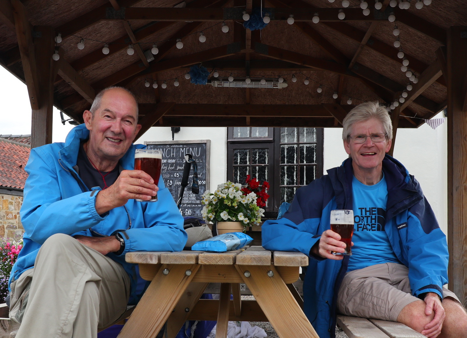
These turf tracks led us directly to the car park below, crossing Raisdale Beck by a wooden bridge, and we were soon discussing an interesting day's walk over a pint at the Buck Inn in Chop Gate.
After a couple of hundred yards we turned left off the road at a sign for Raisdale Mill, originally built by John Garbutt in 1849, which ceased operating in the 1920s.
We walked past the restored buildings, now attractive homes, before turning sharp right into what Tom Scott Burns describes as 'a most beautiful green lane.' Sadly years of motorcycle trail bikes mean it is a green lane no more, however motor vehicles are now banned and so in a few years it might be restored to its former glory.
 |
| Old mill buildings |


 |
| Raisdale Mill |
 |
| Sharp right just past the mill into this 'green lane' |
 |
| A steady climb to Barker's Crag |
 |
| A hollow lane |
We reached the top and Barker's Ridge, with the rocky outcrop of Barker's Crag to our right. We followed the ridge to pass by High House and continued climbing until we came to a gate on our left. Here we entered the gate and settled down behind a stone wall to enjoy our coffee and scones in the lea of the wall, with a fine view back of our walk so far.
 |
| High House Farm |
 |
| Looking back to High House Farm and Raisdale |
 |
| A good spot for coffee |
After coffee we resumed our walk along Barker's Ridge towards the head of Scugdale. The heather was in early bloom and there was a strong smell of pollen. After half a mile or so we came to a surprise view of Scugdale and we paused to pick out Holiday House and Scugdale Hall before resuming our march across the moor.

 |
| Strong smell of heather pollen |
 |
| Barker's Crag in the distance |
 |
| Bilsdale in the distance |
 |
| We pass a surprise view of Scugdale |
 |
| Roseberry appears in the distance |
This is a 2.5 mile march across the moor which we thought a trudge 18 months ago when we last came this way. This time our walk was made interesting when we saw what appeared to be the remains of an old building, about 50 yards from our path.
We went over for a look and decided the stone work actually appeared to be concrete. A little further from the path there was a sunken rectangular area, obviously man made. We wondered what it could be and in the end thought it might be gun emplacements or similar, from WW2.
 |
| These appear to be rough concrete remains |
 |
| Something was here, a building? |
Later I did a Google search on these remains and found the following:
https://commons.wikimedia.org/wiki/File:Concrete_Foundations,_Arnsgill_Head_-_geograph.org.uk_-_55077.jpg
This states that the purpose of the foundations is unknown but believed to be military, possibly a decoy station from WW2.
Our path eventually led us to Head House which we have seen change over the years, from a ruin to a store where game bird feed and equipment is kept. The building is never locked so is a useful shelter and today just as we arrived a sudden squall of rain sent us inside.
 |
| Bee hives and in the distance, Bilsdale Mast |
 |
| Head House |
 |
| Lost dog notice at Head House |
 |
| Clive examines the remains of a young owl, perhaps fell down the chimney? |
 |
| Someone else has found shelter here! |
The rain passed and we left Head House. In TSB's map above he shows three stone walled fields adjacent to Head House and in the last corner of the third field we saw the solar powered screen of the earthquake detector we spotted in early 2017 when we last walked here. On that occasion, after describing it in this blog I was sent a link to the actual detector records (thanks Paul!) and we were able to see when we had passed it on the graph. This time I jumped up and down a couple of times and made a note of the time, 1.36pm!
On visiting the site again you can see the exact time I jumped up and down on the graph, albeit the detector is set to GMT and not GMT+1, the time zone we are currently in.
Here is the link:
http://earthquakes.bgs.ac.uk/monitoring/stationbook_at10.html
To see the graph, first click on 'Real-time Data' in the left column, then in the 'pull down list' on the left choose AT10 Snilesworth, then on the right 'pull down list' for dates, choose 16.8.18 and then click the View button. There you see my jumping up and down shown clearly on the red line!
 |
| Solar power for earthquake detector |
 |
| Detector box |

After this interesting diversion we resumed our tramp across the moors, dropping down to Arns Gill where we crossed the stream with a jump. The path took us by an ancient rowan tree, fallen but still alive and described in the '80s as 'weathered' by TSB.
A long climb up Trennet Bank ended at a memorial stone and a fine view down to Chop Gate. A number of hollow-ways descend Trennet Bank to Chop Gate, which TSB says were worn over many centuries by sledging turf from the moor tops for fuel.
 |
| Dropping down to Arns Gill |
 |
| Reaching the top of Trennet Bank |
 |
| Memorial stone at top of Trennet Bank |
 |
| Bilsdale appears below |
These turf tracks led us directly to the car park below, crossing Raisdale Beck by a wooden bridge, and we were soon discussing an interesting day's walk over a pint at the Buck Inn in Chop Gate.
 |
| Chop Gate below |
 |
| Reflecting on an interesting walk |