Balk and Bagby from Sutton Village
7 miles Warm and mainly cloudy
We drove into Sutton-under-Whitestonecliffe on the A170 from the A19 and parked in the Whitestonecliffe Inn Car Park. Tom Scott Burns tells us that hikers are welcome to use the inn's car park and twenty five years later, the present innkeeper has confirmed that is still the case. Sadly the pub is no longer open in the afternoon for us to repay him with our custom.
 |
| Today's walk from The Walker's Guide to the Hambleton Hills |
 |
| Walking through Sutton-under-Whitestone Cliff |
 |
| Gardens are looking cheerful |
 |
| Plenty of weather vanes to admire in the village |
We walked from the pub and turned right onto the A170 which we followed through the village, spotting several interesting weather vanes.
This is a busy road and traffic whizzed past us as we crossed the bridge over Sutton Beck and turned left off the road and into a track at a footpath sign.
 |
| Turning off the A170 |
 |
| Heifers on our path turn out to be placid |
 |
The Sewage Farm
|
Our route led us straight across a field where a large herd of heifers waited in anticipation. There was no way round and nothing for it, we would have to walk into their midst or turn back. The beasts were placid, however, and backed away in alarm. The field was quickly negotiated and took us alongside the town's sewage works, then on through more fields next to Sutton Beck, until it emerged beyond a static caravan park at the tiny hamlet of Balk.
As we walked through the fields a heron flew slowly overhead.
 |
| Heron |
 |
| Walking alongside Sutton Beck |
 |
| Crossing Sutton Beck to reach.... |
 |
| The Caravan Park |
 |
| You'll have to move, we need to be over that stile.. |
 |
| Lots of Spring flowers in bloom today |
 |
| The rooftops of Balk |
 |
| Our path alongside the houses of Balk |
TSB tells us that Balk originates in the Old English 'balca' or 'bank' and would have applied to the ridge of land between Balk Beck and Hood Beck.
 |
| The Old Mill at Balk |
We walked into Balk and admired its three storey mill, now renovated into housing, and opposite it, the old mill buildings which have been taken over by a furniture manufacturer.
We joined the road at Balk and remained on it, heading west until we reached the larger village of Bagby where we turned left onto a track near new housing just before entering the village.
We headed south along this track, towards Thirkleby. We passed by another caravan park and the grounds of Thirkleby Hall before emerging on to the road by the picturesque old school house, whose clock is right twice a day.
 |
| Turn left just past these houses... |
 |
| Field tracks behind Bagby |
 |
Another Caravan Park
|
 |
| Village Hall at Thirkleby |
 |
| The Old School House |
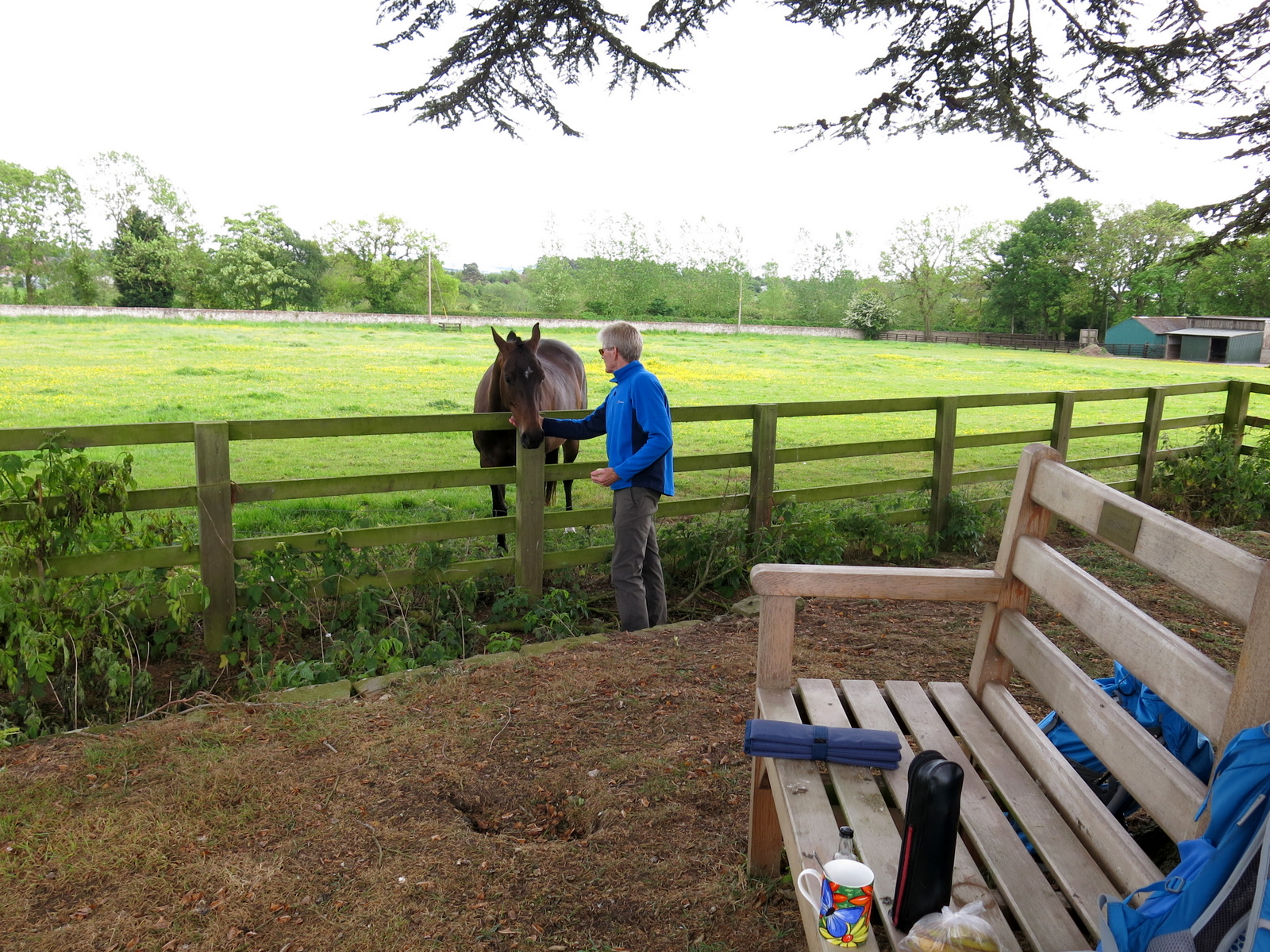
We walked through the village and came to the isolated church of All Saints'. Here a memorial bench made an ideal resting place for any passing hiker who might want to stop for coffee and scones.
 |
| All Saints' Church, Thirkleby |
 |
| Coffee and scones al fresco |
 |
| View of the church from our coffee stop |
 |
| The graveyard could do with a couple of sheep |
 |
| Looking towards the front of the church |
 |
| Altar window |
All Saints is nicely kept and interesting to walk round. It is bigger than one would expect for the size of the village, with fine stained glass windows picturing St George and St Martin. We left the building and went into the overgrown graveyard where the eroded inscriptions on some of the gravestones reminded us of how fragile life was for our ancestors.
 |
| "Any Jakeman's Throat and Chest Pastilles?" |
Leaving the church we walked back to the road then crossed straight over to join a field path leading to a footbridge, then quickly on to the Little Thirkleby Road, where we turned left to walk parallel with the route we had followed into Thirkleby, this time to the right of Thirkleby Beck.
 |
| The last of the way- marks |
 |
| Thirkleby |
The next bit of the walk became rather tricky. We could find no way-mark signs (most unusual!) and field enlargement appears to have swallowed up the footpath described by TSB. Previously we have used the GPS to keep exactly on the track so we were able to march across the arable fields through crops knowing we have right of way. Perhaps a problem to be expected with Tom Scott Burns's walks is that paths are so little used that farmers feel entitled to plough them up. Continuing across these fields we found that the farmer had crops right up to the edge of the field, removing the footpath completely and making walking difficult.
In 2014 when walking this route we discovered a car amongst shrubbery in a ditch near the stream but we haven't seen it on subsequent walks, believing it to have been moved by the farmer. Today, however, we saw it again.
How had it got to this remote point and when? Clive climbed down to examine it and checking the engine plate found it to be a Standard 10 from the 1950s.
 |
| November 2014 |
We continued across fields relying on GPS tracks to show we were on official rights of way until reaching the large farm of Low Osgoodby Grange.
 |
| Blue Leicester mother and Texel father produce a sturdy lamb |
 |
| "We're sturdy too.." |
As we approached the farm we watched a group of five or six hares in a huge potato field. Too far away to photograph properly unfortunately.
 |
| Three hares in this photo! |
 |
| Low Osgoodby Grange. |
From Osgoodby Grange we followed the farm's track to the tarmac road where we turned left, heading back towards Balk. In the distance we could now see Whitestone Cliff.
 |
| Pigs at Mount Pleasant Farm |
 |
| Buzzard near Mount Pleasant Farm |
As we approached Sutton-under-Whitestone Cliff we found our right of way had been blocked with about 100 feet of manure and it was necessary to step off the path into a crop in order to pass. Once again way-marks were noticeable by their absence but we were confident we we had 'right of way'.
 |
| Our path is blocked |
 |
| The whole path is covered |
 |
| Resuming on the footpath at the other side of the obstruction |
 |
| Yes, we're on the path. GPS route available on request |
 |
| Cows are bringing themselves in for milking and are very docile |
 |
| Sutton-under-Whitestone Cliff on the horizon |
A walk across fields brought us back to the pub car park.
Today's walk is level, easy walking but careful preparation of one's route is necessary, preferably with OS Map or GPS, as wayfinding is particularly difficult after Thirkleby.