Hazel Head to Arnsgill and Cow Ridge
7 miles Fine and sunny
We approached Hazel Head Car Park via a 6 mile drive along the unclassified road from Osmotherley and after driving past the ford at Blow Gill ('ravine with the dark ford') we parked at Hazel Head car park.
After donning our boots we returned along the road, back to Blow Gill where we admired the waterfall and an old lime kiln at the side of the road before climbing back up the road to the entrance to Street Gate Farm.
 |
| Today's walk from The Walker's Guide to the Cleveland Hills |
 |
| Blow Gill |
 |
| Waterfall at Blow Gill |
 |
| Roadside lime kiln |
Tom Scott Burns explains that a number of farmers in the region had their own lime kilns for burning lime, which was used for lime washing walls and dressing the land, a custom going back to Roman times. The lime neutralises the acid in the moorland soil allowing more varied crops to be grown. We had passed another well preserved lime kiln in the car a mile or so further back and we would shortly pass yet another on our path. These high farms would have used the lime to reclaim moorland.
The farm track led past Street Gate Farm and into South Wood. Even though it was very sunny today the path was very overgrown and wet. This is an old lane and TSB tells how these lanes were used by tinkers and pedlars who became very numerous in the Middle Ages. These travelling salesmen not only sold their goods but were also responsible for circulating news and delivering letters between settlements.
 |
| A sad notice on the farm gate |
 |
| Turn into Street Gate Farm |
 |
| We arrive at Street Gate Farm |
 |
| Our green path will shortly become muddy and boggy |
The track led us past another farm, Hagg House, where our arrival was heralded by a deafening cacophony of barking from a pen of spaniels.
We continued along the wet lane until we reached Birk Wood Farm where we turned right and climbed steeply to reach a tarmac lane.
 |
| Hagg House Farm |
 |
| The green lane has been made boggy by cattle |
 |
| We pass an enormous ants nest |
 |
| Across a meadow.... |
 |
| .... to reach Birk Wood Farm |
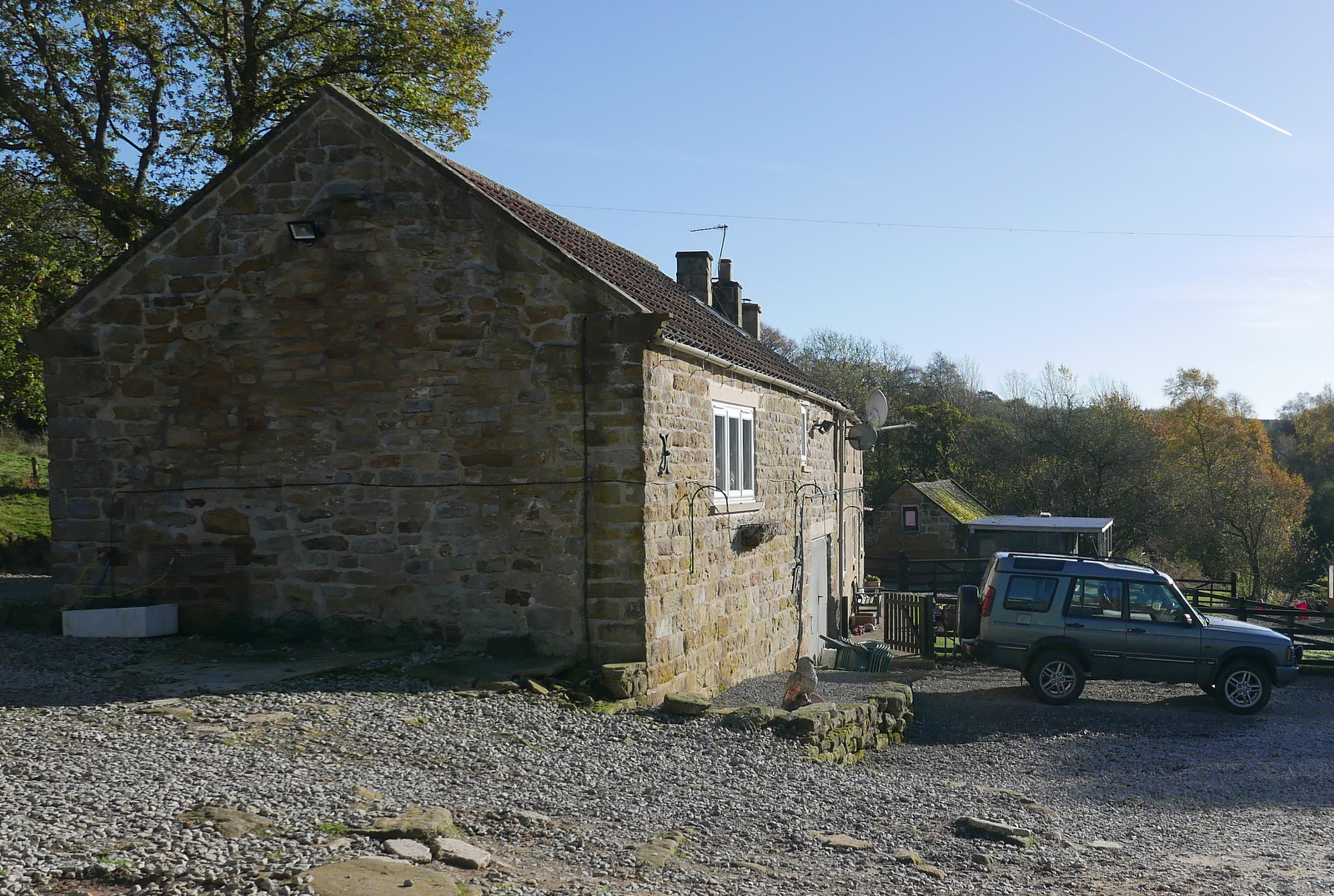
We crossed the tarmac road and passed by a new gate to start a steep climb to reach the moor. On our left we saw another lime kiln and shortly after the moor track turns to the left and down to Hill End Farm. At this left turn we continued straight ahead on an indistinct path through the heather.
 |
| Cross the tarmac and through a new gate |
 |
| Good walking with the moor to our right |
 |
| Snilesworth to the left |
 |
| We continue straight on through the heather, Hill End Farm ahead |
Leaving the heather we joined a distinct shooters' track which dropped down to the little footbridge over Arns Gill. On crossing the bridge we found a sea of mud and the next 100 feet were tricky to cross, before climbing briskly through some cattle, past the farm and to the moor above.
 |
| Bridge over Arns Gill |
 |
| Descending into the mire! |
 |
| Hill End Farm |
 |
| Hill End Farm has its own lime kiln |
Our climb took us to the top of Arnsgill Ridge and we followed a shooters' track through the moor gate towards a small plantation of conifers. Just before we reached them we came to a large flat stone which would make a fine seat and table and decided to stop for coffee and scones.
 |
| Through the moor gate to .... coffee and scones |
Eventually we resumed our walk and followed the path for a couple of miles before coming to a fork. Here we turned right to drop down to Head House, an abandoned farm which is now used by the keepers for storage of bird food and the like. A couple of our walks converge on Head House and over the last five years we have seen it change from an abandoned ruin, as it was in TSB's day, to a renovated weather proof building; the work being carried out presumably by the North York Moors authority.
 |
| Approaching isolated Head House |
 |
| Never locked and useful to hikers in bad weather |
 |
| Head House could still do with a bit of interior decoration |
 |
| Arns Gill near Head House |
 |
| Looking back to Head House from Arns Gill |
We re-crossed Arns Gill and climbed to Cow Ridge passing a couple of shepherds on quads, with their dogs jumping on and off the vehicles. Then we came to a party of beaters, waiting patiently to begin their work. On Cow Ridge we came to another group and it was obvious they were going to head down towards Arns Gill, and the guns would be waiting on the other side of the stream.
We strode out along the moor path for a couple of miles and soon found we were walking to the sound of guns.
 |
| Shepherds |
 |
| Beaters waiting to 'go over the top' |
 |
| Clive strides out across Cow Ridge |
 |
| We notice a stoat trap |
 |
| Bilsdale Mast |
We came to a cairn which marks the location of Iron Howe. TSB points out that all along this stretch are well preserved field boundaries and over 300 cairns dating from 2300 to 800 BC. Although they don't show well in the photographs they are in fact very noticeable as you walk along this stretch of the path.
 |
| Cairn at Iron Howe |
 |
| Many dwelling remains along here |
We started to walk from Iron Howe downhill back towards Blow Gill. Over to the left there are fine views of Hawnby Hill and Easterside Hill.
We followed our path past the strangely named Scotland Farm, spotting the old Wesleyan Chapel on the left, where we have stopped to rest on previous walks.
 |
| Scotland Farm |
 |
| Mary Queen of Scots stayed at nearby Arden Hall on the way to her execution, is that the reason for this unusual name? |
 |
| A nice weather vane, appropriate for today, near Scotland Farm |
 |
| The Wesleyan Chapel where Clive and I sat for coffee a couple of walks ago |
We rejoined the road for a short walk down to Blow Gill where we found the members of a photography club busily setting up their tripods. We crossed the stream and a short uphill took us back to the car park.
 |
| The end of the walk |