Wass to Cockerdale and Byland Abbey
7 miles Grey and murky
We parked by the Village Hall at Wass
where there is ample parking and an honesty box.
 |
Today's walk from The Walker's Guide to the Hambleton Hills
|
Adjacent to the car park is the tiny Church of St Thomas which, like many of the houses in the village, would appear to have been built from stone harvested from Byland Abbey. We found the church unlocked and internally it is a neat, plain and tidy building that would seat about 40 worshipers. The organ is at the back and would probably deafen the tiny congregation.
 |
| The tiny Church of St Thomas, Wass |
 |
| Showing the outside bell and weather-vane |
 |
| Interior of St Thomas Church, Wass |
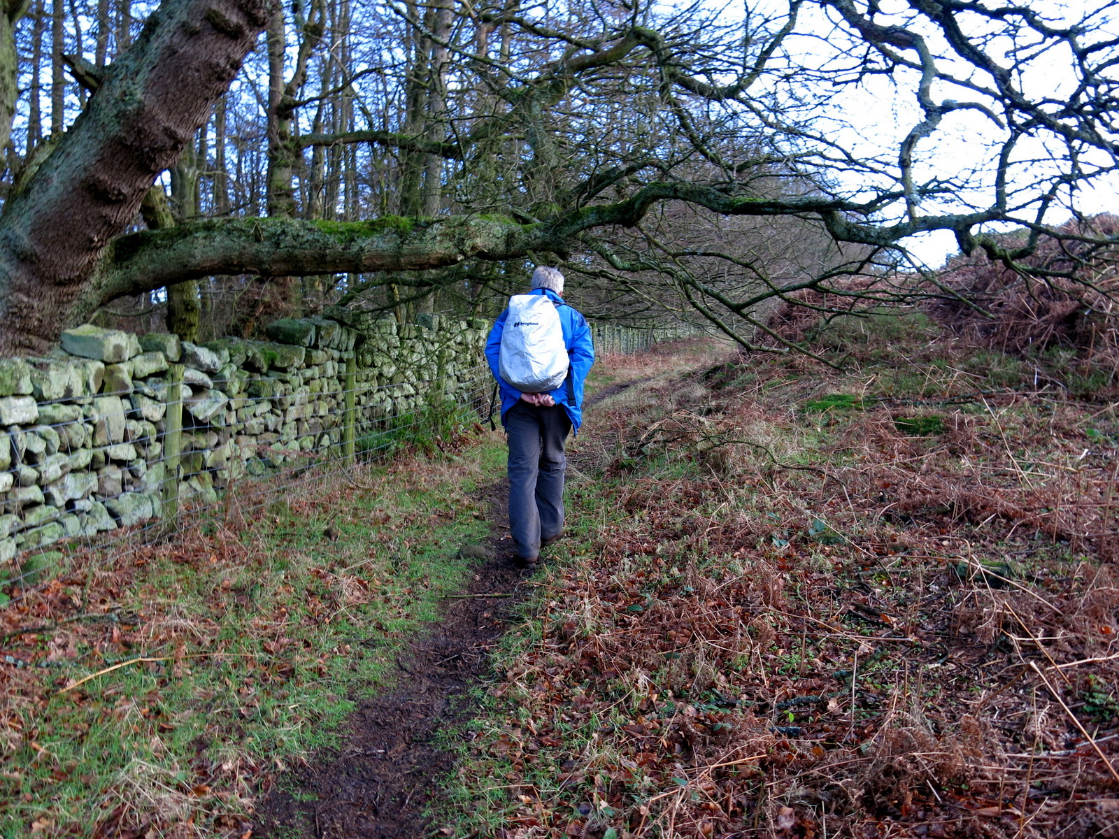
Tom Scott Burns explains in his Walker's Guide to the Hambleton Hills that Wass is taken from the Middle English word wathes and means 'fords', there being two such crossings in the village. We walked away from the church along a road that soon lost its tarmac and became little more than a track. We passed through woods, to the right,
Blind Side Gill and to the left, Abbey Bank Noddle, and the track became ever muddier, a quagmire caused by horses and bikes. This was a steady climb which
suddenly got steeper as we followed our path off the track to the ridge of Snever
Scar.
 |
| The road becomes a track |
 |
| We leave the track... |
 |
... to climb to the ridge of Snever Scar
|
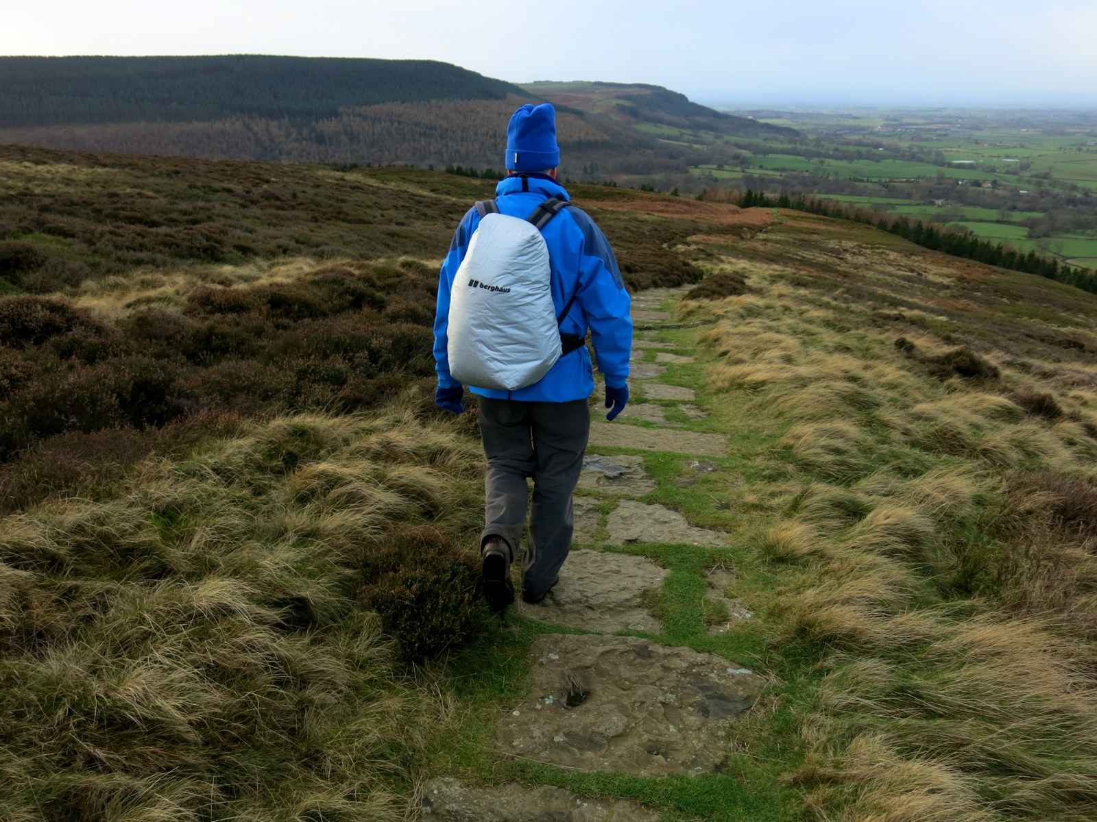
Tom Scott Burns describes a surprise view from this ridge over the Vale of York, but when we walked here last May our view was spoiled by foliage. We were disappointed to see that it was little better today, the closely planted tree trunks still obscuring the 'surprise view'.
Our path led along the ridge and then descended until it reaches a gate with a track making its way left uphill. There was no sign but we remembered that we were to
take a left here in order to see the observatory and we made our
way back up to the top of Snever Scar once more, and the stone folly known as The
Observatory came into view.
 |
| The Mount Snever Observatory |
 |
| "Here hills and waving groves a scene display, And part admit and part
exclude the day, See rich industry smiling on the plains, And peace and
plenty yell VICTORIA reigns!, Happy the MAN who to these shades retires,
Whom nature charms and whom the muse inspires, Who wandering thoughtful
in this silent wood, Attends the duties of the wise and good, To
observe a mean, be in himself a friend, To follow NATURE and regard his
end" |
 |
| John Wormald in the first year of the reign of Queen Victoria, caused this observatory to be built |
|
|
The observatory was padlocked but TSB says "the view alone" is worth the walk up here. Unfortunately once again this was marred by close planting of trees which have grown to obscure the view, even without their foliage.
 |
| A bit of a view! |
We retraced our steps back to the gate where we turned left into fields. According to TSB these fields were the scene of
the Battle of Byland in 1322, when King Edward II was defeated by Robert
de Brus of Scotland. The King only escaped 'by the very pity of
Christ' leaving behind in his flight the royal treasure and the crown
jewels.
 |
| We descend from the observatory to return to this stile which we cross |
 |
| These fields once rang with the sounds of battle |
 |
| Cam Farm |
Our path led us past Cam farm where we had to keep a look out for way marks before reaching Cockerdale Wood. As we
passed through the wood we went left from the forest track onto a small
path that descended steeply through the wood perimeter where we saw
Cockerdale Farm standing in the centre of a large meadow. All these paths were very muddy and slippery. The water table of the meadow, like all the others we crossed today, appeared to have reached maximum and we sank inches deep into the grass as we walked.
 |
| Sheep at Cam Farm |
 |
| Green path to Great Cockerdale Wood |
 |
| Looking down into Cockerdale |
 |
| We leave the forest path.... |
 |
| ... to descend through Cockerdale Wood |
 |
| Way marks aid our descent through the trees |
 |
| Clive makes a friend with a Jakeson's Throat and Chest Lozenge at Cockerdale Farm |
We passed the farm and once again
climbed steeply uphill to meet a lane. Our walk should go left here but
TSB suggests detouring right to a little chapel, and this is what we
did. He did not mention however, that the lane is exceedingly steep and we puffed uphill. The chapel was a
charming spot apparently built as a dedication to three pupils from
Ampleforth College who were killed in WW2. We had not seen a soul since leaving Wass but as we entered the chapel three hikers rushed across from the opposite direction, bustling past us and saying loudly that this was to be their lunch spot. The chapel was locked and as the rival hikers had taken the sheltered side of the chapel we decided to have a leisurely look around and then return down Mode Hill to find a seat out of the wind in order to enjoy our coffee and scones.
 |
| We arrive at the chapel with hikers on our heels |
 |
| Detail above door of chapel |
 |
| The chapel's history |
 |
| View from our coffee stop on Mode Hill |
We retraced our steps, finding the going
downhill much easier . On our right we passed a field containing Exmoor rescue ponies and carried on to join a tarmac road for a
hundred yards before turning left to pass the impressive building of
Oldstead Grange, built by John Wormald, who also constructed The
Observatory. In a field in front of the hall was a friendly donkey who was to become another convert to Jakeman's Throat and Chest Lozenges.
 |
| No sweeties for you! |
 |
| Exmoor ponies |
 |
| Mmmm, nice! |
 |
| Approaching Oldstead Grange |
 |
| Oldstead Grange |
 |
| Weather vane at Oldstead |
Continuing past the Grange we followed
yellow waymarks across fields before reaching a farm called Cam Heads
where we had to concentrate as the path becomes vague, the way marks taking us through the farmyard and around farm buildings and haystacks.
 |
| An interesting bench, protected from stock, but what will stop them from reaching over to get one's scones! |
 |
| Cam House and Farm |
 |
| A nice old David Brown tractor in one of the farm buildings |
 |
| Farm cat |
 |
| The way mark takes us through the barn. |
We continued following yellow way marks through fields, our track often becoming a quagmire, until we reached Bylands Abbey.
 |
| Slipping and sliding across the fields |
 |
| "Can I have a piggy-back?" |
 |
| Byland Abbey |
 |
| The ruins of Byland Abbey |
We left the fields to join the road at Byland Abbey and walked through the little village, the ruins of the abbey to our right. TSB tells us that the church, itself 330 feet long, was fringed by chapels and columns, only traces of which remain.
 |
| Feature on house near the abbey |
 |
| Beautiful weather vane near the abbey |
 |
| Mosaic feature in roadside wall at Byland Abbey |
When the Abbey was dismantled in 1540
after the supression of the monasteries by Henry VIII, it housed twenty
five monks beside the Abbot. An interesting webpage about the
monastery, showing a reconstruction of how it would have looked in its
heyday is here.
Passing the abbey we turned left from the road towards the grand Abbey House but our path veered right from the driveway, back into sodden fields for our last stretch to reach the village of Wass and our car. We quickly changed out of our boots and entered the Wombwell Arms to sit by the fire to chat with the landlord and enjoy a well earned pint of bitter, brewed locally at Helmsley.
 |
| Abbey House |
 |
| Duck and ducklings weather-vane at Abbey House |
 |
| Wass appears across the fields |
 |
| Nice weather-vane in Wass |
 |
| The Wombwell Arms |
 |
| "Merry Christmas!" |