Bank Foot to Upper Baysdale
and Burton Howe
11 miles Fine and breezy
We decided on a longer walk today taken, as usual, from The Walker's
Guide to the Cleveland Hills. We parked at the road side near to Bank
Foot Farm, which is approached from the unclassified road between
Ingleby Greenhow and Battersby.
 |
| Today's walk from The Walker's Guide to the Cleveland Hills |
 |
| Road to Bank Foot Farm |
 |
| Bank Foot Farm |
Tom Scott Burns relates a grisly deed
that occurred here on 3rd October 1924. Frank Ward, who lived in one of
the railway cottages on the incline, failed to return home after an
evening of drinking at the Dudley Arms in Ingleby Greenhow. His
daughter Hannah and a neighbour, Medd Carpenter, made a search and
followed a trail of blood to a haystack at Bank Foot where Frank's body
was found partially concealed. Later that morning the Police found
Frank's best friend Jerry Dalton, who lived in a cottage near Bank Foot
Farm, slumped in a ditch with self inflicted throat wounds. He was
subsequently convicted of the murder of his friend and hanged for his
crime.
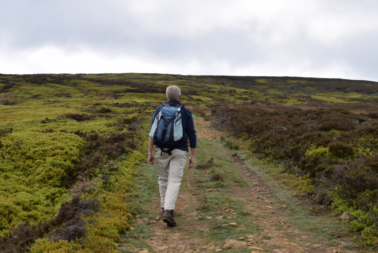
We walked past the farm and immediately started to climb. We soon turned right off the forestry track at a metal sign and followed a narrow short cut steeply through the undergrowth, eventually re-joining the forestry track and climbing to Turkey Nab.
 |
| Forestry track after Bank Foot Farm |
 |
| A shortcut through the trees... |
 |
| ... is a steep climb |
 |
| The cairn at Turkey Nab |
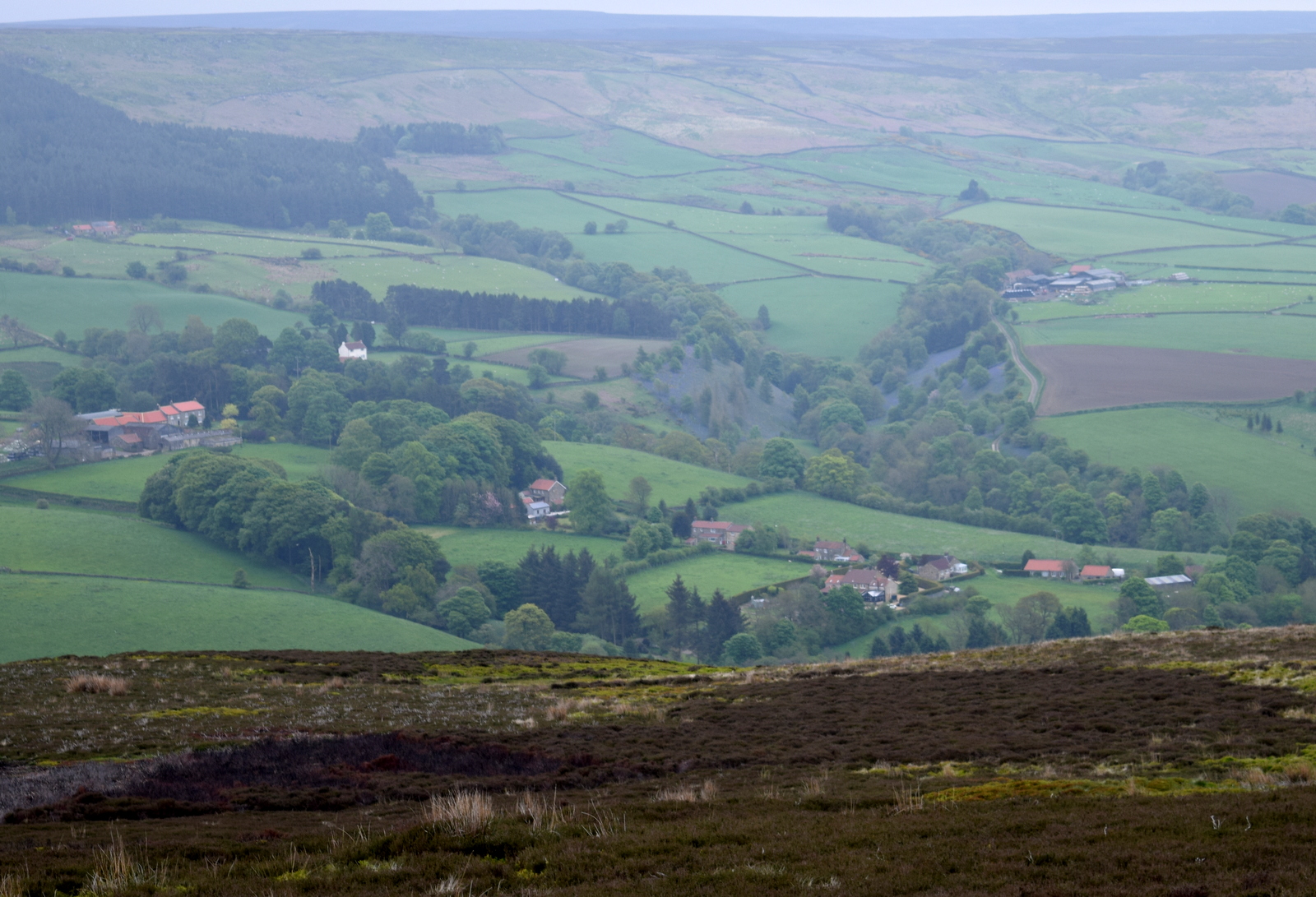
On reaching the top we paused to admire the view and get our breath back. There were fine views over Ingleby Greenhow and Battersby Junction and we picked out familiar land marks before passing a chain and following a moor path.
 |
| Climbing towards the Nab |
 |
| Battersby Junction from the Nab |
 |
| Looking east from Turkey Nab |
 |
| Old information board at Turkey Nab |
Just beyond the Nab we turned left onto a
smaller track that led across Ingleby Moor, crossing Black Beck about a
mile further on before a slight climb to bear left onto Middle Head
Road. We paused to watch a Golden Plover sitting on a rock while her
chicks ran on the moor nearby. Shortly after we came to an interesting
group of large boulders known as the Cheese Stones, a good vantage
point to look down into Baysdale. Continuing along the moor we came to
the remains of a medieval cross and a little more walking found us
looking down onto the imposing building of Baysdale Abbey Farm.
 |
| Not much to see but heather |
 |
| Golden Plover and chick |
 |
| Clive spots Baysdale Abbey in the distance |
 |
| The Cheese Stones |
 |
| Broken medieval cross |
As our path snaked through the heather we saw a dead leveret showing no sign of sickness or injury, its eyes still bright, and wondered what had happened to it.
 |
| Dead leveret |
We walked down towards Baysdale Abbey and decided that the grassy slopes we were crossing would make a nice spot for our coffee and scones, and sat for a while enjoying the view.
 |
| Our track runs down towards the three trees |
 |
| We sit here and enjoy our coffee and scones |
Tom Scott Burns explains that in the middle
ages land rents for Baysdale were paid with the heads of wolves, which
were numerous in the area, and one can imagine this wild enclosed ravine
in the 1300s, when cattle were over-wintered in the valley bottom. In
fact, TSB explains, Baysdale is derived from Basdale meaning Cow Shed Valley. We walked down to the Abbey Farm which has been renovated and is now marketed as holiday lets and walked round the building, then followed the yellow way-marks uphill to Thorntree House.
 |
| Two views of Baysdale Abbey |
 |
| Thorntree House |
Tom's map now indicates that we should
take a direct route across the fields to Thorntree House Farm and in
fact when we checked the OS map, a route is shown but has long since
fallen into disuse. We headed across the fields keeping to where we
felt the path should be and passing the farm, rejoined a forestry track
back into the woods leading up to Baysdale Moor. We followed the
moorland track for about 1.5 miles before reaching an old stone shooting
box.
As we walked over the moors we spotted an Emperor moth clinging to the heather, apparently newly emerged with wings outstretched. Shortly afterwards we saw a plover's egg on the track, partly smashed and contents removed.
At one point we were chivied by a pair of curlews who dive- bombed us, coming within a few feet of our heads. We looked across the heather for their family but to no avail. They escorted us all the way to the shooting box.
 |
| Plantation above Thorntree House |
 |
| The moor gate |
 |
| Emperor Moth |
 |
| Plover's egg |
 |
| Curlew |
 |
| The shooting box |
We walked back up from the shooting box to rejoin our path, which led us down through the old disused coal pits of Armouth Wath, ('ford at becks' meeting') across Grain Beck. Armouth Wath is a very bleak spot and life in the coal pits must have been hard. We had a look at what remained and the two becks the name referred to, Rowantree Beck and Black Hagg Beck. Excavation work has been done at the ruins of the four collier buildings and revealed that the pits were 106' deep.
We left following the colliers' track and a long climb brought us to the Bronze Age tumulus of Burton Howe.
 |
| Looking down to Armouth Wath |
 |
| Clive explores the ruins |
 |
| Rowantree Beck |
 |
| Black Hagg Beck |
 |
| Ruins of colliers' cottages |
 |
| Looking back to Armouth Wath |
 |
| Tumulus at Burton Howe |
 |
| Burton Howe 1419' |
There are several tumuli here, apparently dating from 4500 - 1400 BC, some still containing coffins and cremated remains.
Our path now followed the escarpment across the open land of Ingleby Moor, locally known as
Siberia, and devoid of interest until we came to a well preserved
standing stone near Tidy Brown Hill. We could make out the inscription
' Kirby and Helmsley 1757' on one side and 'Guis Boro' on the other and we
were pleased to see that tradition had been maintained and a few coins
had been left under a loose top stone for the benefit of any needy person who happens by.
Strangely, TSB doesn't mention this stone in his walk description.
 |
| Looking west over the Cleveland Hills from Burton Howe |
 |
| Looking west again.. |
 |
| .. and North-west towards Clay Bank |
 |
| We follow the ridge |
 |
| Clive examines standing stone |
 |
| 'Kirby and Helmsley 1757' |
 |
| 'GuisBoro' and pointing hand |
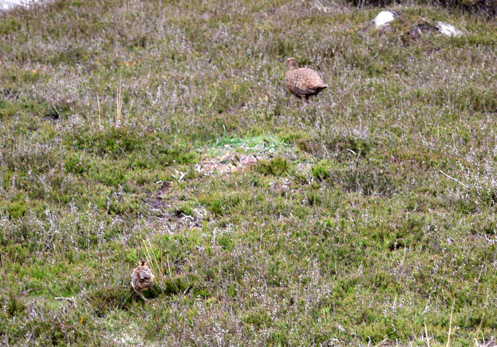
A two mile walk along the escarpment brought us back to Turkey Nab and the descent to Bank Foot Farm and our car.
 |
| Grouse and chicks |
 |
| Well camouflaged and shaky hands |
 |
| A long walk along the escarpment |
 |
| Battersby Junction appears in the distance, nearly back! |
 |
| Horse and foal at Bank Foot |
 |
| Clive is out of Jakemans tablets so an apple must suffice! |
 |
| He has them eating out of his hand... |
This is a reasonably easy walk despite its length, on good paths. It would make a good 'wet weather walk' providing visibility good, but there are limited points of interest.