Hawnby, Easterside Hill and Shaken Bridge
7.5 miles Dry and Bright
We approached Hawnby from the B1257
Stokesley to Helmsley Road which we left at the Laskill turn-off. We
drove through the top village and continued down to the houses of Hawnby
Bridge. Tom Scott Burns explains that the
village is so divided because in the 1750s a zealous landlord turned
out all the Methodists from their houses, they had lived in what we now think of as the top village. They moved a short distance
away where they built some small houses and a Wesleyan Chapel, completed
in 1770. We parked behind this Chapel where parking is free for about a
dozen cars.
 |
| Today's walk from The Walker's Guide to the Hambleton Hills |
 |
| Walking through Lower Hawnby |
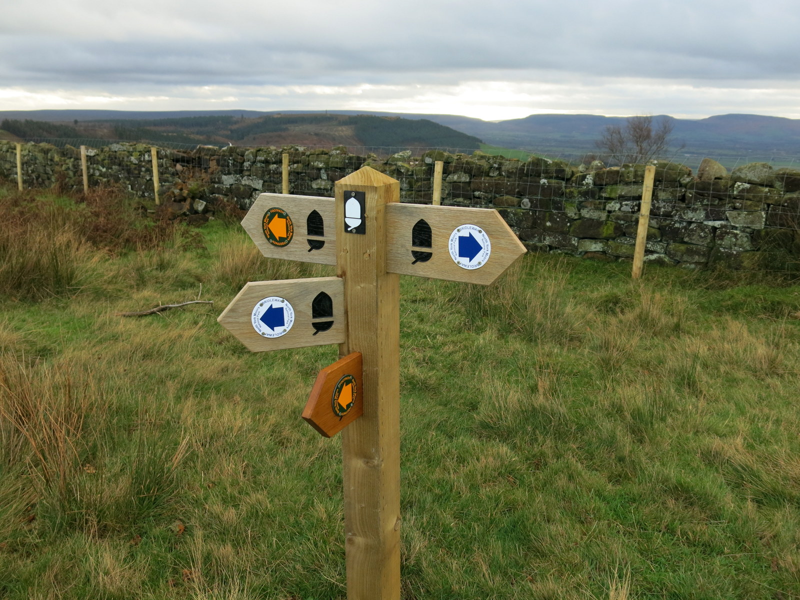
On leaving the car park we turned right into
Hawnby Bridge, crossed the road at the junction and passed through the
gate into a field following the way-marks and a
faint trail in the grass. We crossed several meadows to Ladhill Beck
after which we had a long but gentle climb to Ellers Wood before exiting
on a road near to Easterside Farm. We followed the road for a short
time in the shadow of Easterside Hill, before leaving it to follow a
farm track to High Banniscue Farm.
 |
| Looking back to Hawnby |
 |
| Suffolk sheep watch us pass by |
We followed a faint track left from the farm, keeping Pepper Hill and Easterside Hill to our right, across fields to a gate leading onto the moor. Passing through the gate we immediately joined a track heading right which would take us back round the other side of Pepper Hill and Easterside Hill. On this eastern side of Pepper Hill we
saw a damaged wall and impact crater made by a German Dornier in the
last war when it crashed on 17th December 1942. In last week's blog I describe visiting Hawnby Church and
inspecting a memorial window to the four German airmen killed in the crash.
 |
| Crossing Ladhill Beck |
 |
| Looking across at Hawnby Hill |
 |
| We join a moor path to circumnavigate Pepper Hill |
 |
| Site of the WW2 plane crash |
 |
| Memorial to the German airman at Hawnby Church |
Our path descended to the Laskill - Hawnby road that we had driven along earlier from the B1257. We joined the road for a hundred yards then entered a field at a footpath sign to descend further, across meadows, to the ruins of Grimes Holme. We were ready for a little something by this time so sheltered from the breeze at Grimes Holme to enjoy our coffee and scones. Chatting away we didn't notice that we had been approached by four curious horses and several cattle, who we had seen earlier and thought were safely on the other side of a fence. A horse sneezed and we looked behind us in surprise. Fortunately we had finished our scones and hastily packed our bags and moved off to reach a wooden gated bridge where we crossed the River Rye.
 |
| Leaving the Hawnby Road to enter fields |
 |
| Our walk today was very muddy |
 |
| Grimes Holme coffee stop |
 |
| These horses know a way out of their field and joined us at Grimes Holme |
|
 |
| Crossing the River Rye |
Walking across another couple of fields brought us to a gate where cattle had made the way completely impassable because of mud. We had to climb over a barbed wire fence and leave the track for a field's length, before joining it again at Fair Hill Farm, which TSB described as a pig rearing farm, although we saw no sign of pigs today.
 |
| The mud was six inches deep so.... |
 |
| ...we left the path for a while |
 |
| Fair Hill Farm |
We walked down the farm track passing Broadway Foot Farm. When we passed by here last year the farm building was a ruin having suffered a fire and today workmen were busy laying the foundations for a new building, the old one having been demolished.
 |
| Sign at Fair Hill Farm |
 |
| Sheep at Fair Hill Farm |
 |
| Easterside Hill to our right |
 |
| Approaching Broadway Foot Farm |
 |
| Dog and bull weathervane at Broadway Foot Farm |
 |
| The ruined farmhouse last November |
 |
| Same spot today |
We followed the lane past Broadway Foot Farm and turned right through a gate into woods and a nice track through the trees led us to the Hawnby to Helmsley road and Shaken Bridge. TSB tells us that its name derives from
the Old English 'sceacre' or robber; ie Robber's Bridge. We crossed the bridge and after walking on the road for a
hundred yards we turned sharp left and followed a farm road uphill until we
came to East Ley Wood. Bearing right up the track an old barn came into
view, a building we recognised as one we have approached from other
directions on other walks. We walked through a gate into East Ley Wood.
 |
| Leaving Broadway Foot farm track to enter woods |
 |
| Approaching Shaken Bridge |
 |
| Looking upstream from the bridge |
 |
| Walking uphill to East Ley Wood |
We were amused to see a homemade sign on gates in this area depicting a cheerful hiker. We wondered who had gone to the trouble to make the signs and what was their purpose?
 |
| What does this sign mean? |
Our track now meandered next to a dry stone wall for about 1.5 miles, the woods always to our right, eventually ending at Murton Bank top.
 |
| The old barn |
 |
| A nice walk alongside East Ley Wood |
We turned right onto the road at Murton Bank top and descended Murton Bank, all the time enjoying fine views to our left. The twin settlements of Hawnby grew more distinct with Hawnby Hill behind.
 |
| Descending Murton Bank |
 |
| Upper and lower Hawnby from the road |
We crossed Hawnby Bridge and walked into the village to reach our car. A short drive uphill took us to the Inn at Hawnby and a welcoming pint of Black Sheep while we discussed the day's walk.
 |
| Hawnby Bridge |
 |
| Walk's end! |