"There must be dales in Paradise
Which you and I will find.."

Thursday 29 August 2013


Kilburn White Horse Circular

5.5 miles, warm and mostly sunny


When describing this walk in The Walker's Guide to the Hambleton Hills, Tom Scott Burns warns the reader that there is a car park charge at the Information Centre at Sutton Bank.  I wonder what the fee was in 1988 when the book was written and how it compares with today's (2013) charge of £4? 

 Looking across to the cliffs of Roulston Scar


 Memorial near the Gliding Club

 Looking down to Gormire Lake from the escarpment near to the car park

Leaving the car park we walked along the gravelled path towards the dramatic cliffs of Roulston Scar.  The path is used by the Cleveland Way and is adjacent to Sutton Bank Gliding Club which was busily launching gliders into the air, some pulled and released by a small plane and others winched up, the line dropping from the glider as it crossed Roulston Scar. As we walked past the end of the runway a tow-plane and its glider passed straight over our heads.

 The gliding club at Sutton Bank


Tow plane nearly blows my cap off 


The path passed alongside the top of the famous White Horse and we saw an area of white limestone chips, probably the head of the horse.  It was impossible to make out the features of the horse from so close up and sadly, at no time on our walk did we get a view of the whole animal!

 Another view of Roulston Scar


 The view towards Thirsk from the escarpment


 National Trust path above the White Horse


 These white stone chips are our only view of the White Horse


A steep descent took us down to a car park and we then joined a track alongside the road which eventually led us to another car park next to Acre House, where we turned right onto a bridleway.
 
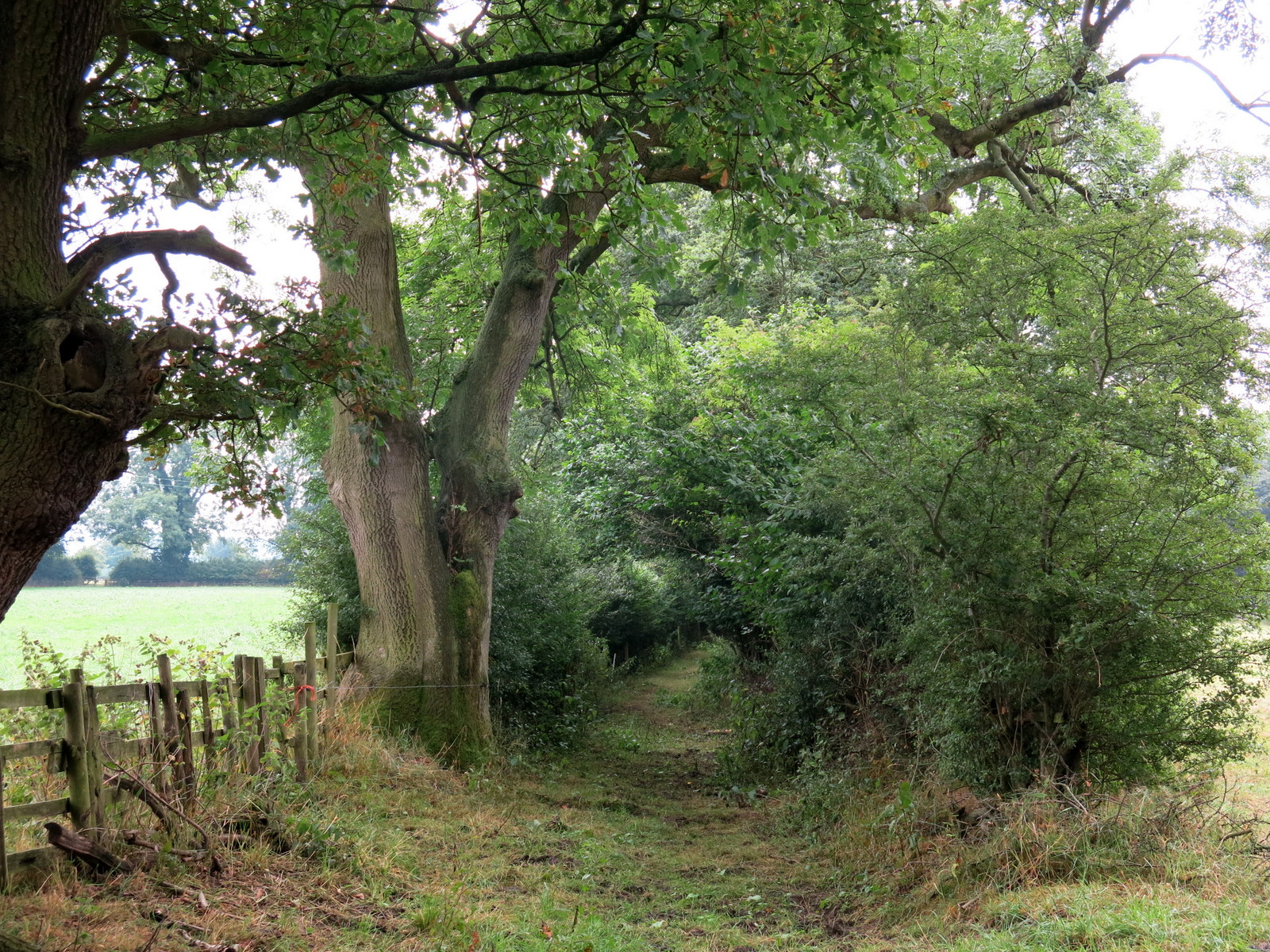
We then walked for some time through woods until we emerged with a nice view across to Hood Grange Farm.  We decided we had walked far enough without refreshment and sat enjoying our scones and coffee, watching the gliders swooping above us.


 Looking up towards Roulston Scar


 Gliders swooping above us


 Looking across at Hood Grange Farm from our coffee stop


Dark clouds threaten as Clive walks towards Hood Grange Farm


A straight path to Hood Grange Farm and then across the A170 road and onto a pleasant trail that led us to High Cleaves Farm.   After the farm a stiff climb took us to Gormire Lake, a surprisingly large expanse of water.  We walked round the lake, puzzled that such a beautiful spot was empty of people during the summer holidays, and then started another steep climb through trees to Sutton Brow and leading to our car park.


 Our first glimpse of Gormire Lake

 Looking through bull-rushes across Gormire Lake

This was an enjoyable walk but many of the paths we walked are managed by the National Trust or Yorkshire Wildlife Trust and were overly maintained, so there was no feeling of being alone in the natural environment.


Friday 23 August 2013

Kepwick, Limekiln House and the Old Drove Road

5.5 miles, warm and sunny

Our walk from The Walker's Guide to the Hambleton Hills


We parked at the Church Hall car park in Kepwick and as we set off several calves ran over to see us.  They were lowing mournfully and had probably just been separated from their mothers; they seemed to be asking us to do something about it. 

 Where's my mummy?

 Gatehouse to Kepwick Hall

 Walking towards Nab Farm


We walked through Kepwick admiring some fine gardens and passed the grand entrance to Kepwick Hall before crossing the old railway line and leaving the road, heading along the farm track to Nab Farm.  Walking on past the farm we came to the remains of an old lime kiln, the furnace and chimney almost intact.  We strolled up Kepwick Moor  watching two peregrine falcons swooping overhead, their cross-bar markings showing clearly.  As we climbed we admired the cliffs of Whitestone Scar to the left and the old limestone quarries and their spoil tips to the right.  After a long and steady climb we reached Hambleton Street and the ruins of the old drovers inn, Limestone House, by which time I was ready for a little something so we sat among the ruins to enjoy our coffee and scones.  Nearby we saw a memorial cross with a slate inscribed 'Bert 1905', and speculated as to who Bert might have been and what his connection was with this place?


Cattle restraint pen at Nab Farm


 Our path runs diagonally across centre of photograph
Little Moor

 The top of a ruined limekiln

Limekiln


Refreshed we followed the old drove road which also forms part of the Coast to Coast Trail and is known as Hambleton Street.  As we walked we enjoyed the smell of heather and noticed how many peacock butterflies there were to be seen on this hike, a fact remarked on by Tom Scott Burns in The Walker's Guide to the Hambleton Hills.  Eventually we arrived at a weathered standing stone which is the remains of Steeple Cross, apparently mentioned in a document of 1246.  To the right of the drove road at this point is a long barrow dating back 3000 years, but try as we might we couldn't make it out amongst the dense bracken and heather.


 Disused limestone quarry and spoil heaps


 Peacock butterfly

Looking back towards Nab Farm to the right and Kepwick in centre distance


We turned right at Steeple Cross and headed into a conifer forest for a while before descending gently to the mixed  woodland of Cowesby Wood.  According to TSB's notes we should skirt along this wood then descend over moorland alongside Pen Hill but wire fencing had been added to the wooden fence that crossed our path, giving the impression that there was no right of way.  We wondered if someone had replaced a stile incorrectly, deliberately or otherwise?   Looking ahead we could see the faint outline of our trail continuing and after consulting the map and my GPS and knowing ourselves to have right of way, we climbed over the fence and joined the track which soon became a much broader trail leading down towards Atlay Bank. 

 Bert's memorial


 The Old Drove Road
 Bull and cows alongside Drove Road

Approaching Steeple Cross

When we reached the escarpment above Atlay Bank we walked back and forth with a fine view down into Kepwick.  Unfortunately we could see no sign of our trail down.  We could see where the map and GPS said the track should be so we pushed our way into high bracken to find it and after a few yards we came to the channelled path that plunged down Atlay Bank, through rhododendron bushes and back to the road and our car waiting at the church hall.

 Looking down at Kepwick from Atlay Bank but where's the track?


 Clive enters the bracken


 Kepwick Church

Thursday 15 August 2013


Kepwick and Cowesby from Over Silton 

5.5 miles warm and sunny 


This week I bought a copy of Tom Scott Burns' book 'The Walker's Guide to the Hambleton Hills from Abe Books on the internet, for just 1p plus postage.   A great buy!  The Hambleton Hills are just south of the Cleveland Hills and both form part of the North York Moors  Will my 'new' book's walks be as good as TSB's Cleveland Hills Guide?   We'll see but at least it will give us another 20 walks to try, although of course as they are further afield than the Cleveland Hills our driving time is increased.

We thought we might as well start at the beginning of the book with Walk 2.  (Walk 1 is 10.5 miles and we'll save that for when we feel like a long walk!)  Today's walk is about 6 miles and is circular, as all our walks tend to be.

Leaving over Silton

We left Over Silton and turning into a field and onto our first footpath we saw immediately that this was not going to be a trail that is much frequented.  Long grass and nettles were order of the day and wet grass too, as there had been heavy overnight rain. We quickly reached the very neat and tidy Greystone Farm where we saw some unusual hens and a sign offering 'free eggs', although there was a donation box for a local charity.  A sign said the farm specialised in Suffolk sheep and we soon came to field full of them.  We were taken with how big and friendly they were, coming to the fence as if they expected to be fed.


Animals of Greystone Farm

We walked on to Nether Silton, then through field after field where our trail had became almost non-existent in the long wet grass.  Only the occasional yellow footpath sign (and my GPS track of course) showed us that we were on the right trail.  We crossed the remains of a narrow gauge railway that had once been used to carry limestone from the Hambleton Hills to the Thirsk turnpike road, then joined a narrow road, Peasland Lane, that led us round to the village of Cowesby.  As we entered the village we walked into the old churchyard and after admiring the church, which appeared disused, we sat on its steps and had our coffee and scones. 


 Remains of old narrow gauge railway


 Cowesby Church

 Cowesby

Back into Cowesby, we walked through the pretty village before turning north across fields to the village of Kepwick.  We decided not to explore Kepwick as next week's walk will begin there, but pressed on back across the old railway and across fields where we lost the path for a time, zig-zagging up and down a couple of fields with wet legs and nettle stings before we eventually found the old footbridge across aptly named Sorrow Beck and rejoined the trail.


Clive spots the footbridge!
 

 Looking down towards Northallerton and the A19


Young pheasant


At this point we saw quite a few young pheasants which hurried nervously along the hedgerow and I took the above photo of a bird which Clive and I thought was reluctant to move because it was brilliantly camouflaged.  Now, on examining the photo on my computer, I see what appears to be blood on the bird and I wonder if it is an early casualty of this years shooting, the Glorious Twelfth being just three days ago.


 Buzzards above Pen Hill


More fields, one of which was circumnavigated very nervously as it contained a bull and cows that were busy mating and we didn't want to distract them.  We approached Nether Silton once more, although on a different footpath to our outward journey.  We have walked through Nether Silton on several occasions but but this was the first time we have entered the village via the Manor House field and consequently managed to find the old monolith mentioned in a couple of TSB's walk descriptions. The large old standing stone has letters carved into its face, each letter representing a word.  


 Monolith at Nether Silton

 The carved letters stand for:
"Here The Grand Old Manor House Stood, The Black Beams Were Oak The Great Walls Were Good
The Walls At The East Wing Are Hidden Here, A Thatched Cottage Like A Barn Was Erected Here
AD 1765
A Wide Porch Spans A Yard And Alcove

 Me and the monolith  (I'm wearing the hat)

We were both very pleased to have found the stone, which stands in a field near the present manor house.  We exited onto the road that runs through Nether Silton and crossed to a little track alongside the old post office.  Following it we now navigated another network of field paths to return to Over Silton, via the quaint old church of St Mary., which stands in a field and has no road or footpath to service it.  This church dates back to Norman times and in the last year or so Clive and I have often sat in its churchyard to drink our coffee, but having no coffee left today we pressed on back to the road where I had left my car.

 Clive walks through Nether Silton towards the Gold Cup Inn


 'Hidden' path alongside old Post Office


 Norman hurch of St Mary at Over Silton


A good day which started damp and muggy but gradually improved to 'sunny intervals'.