Caydale and Noddle End from Murton
7.5 miles Wet and warm
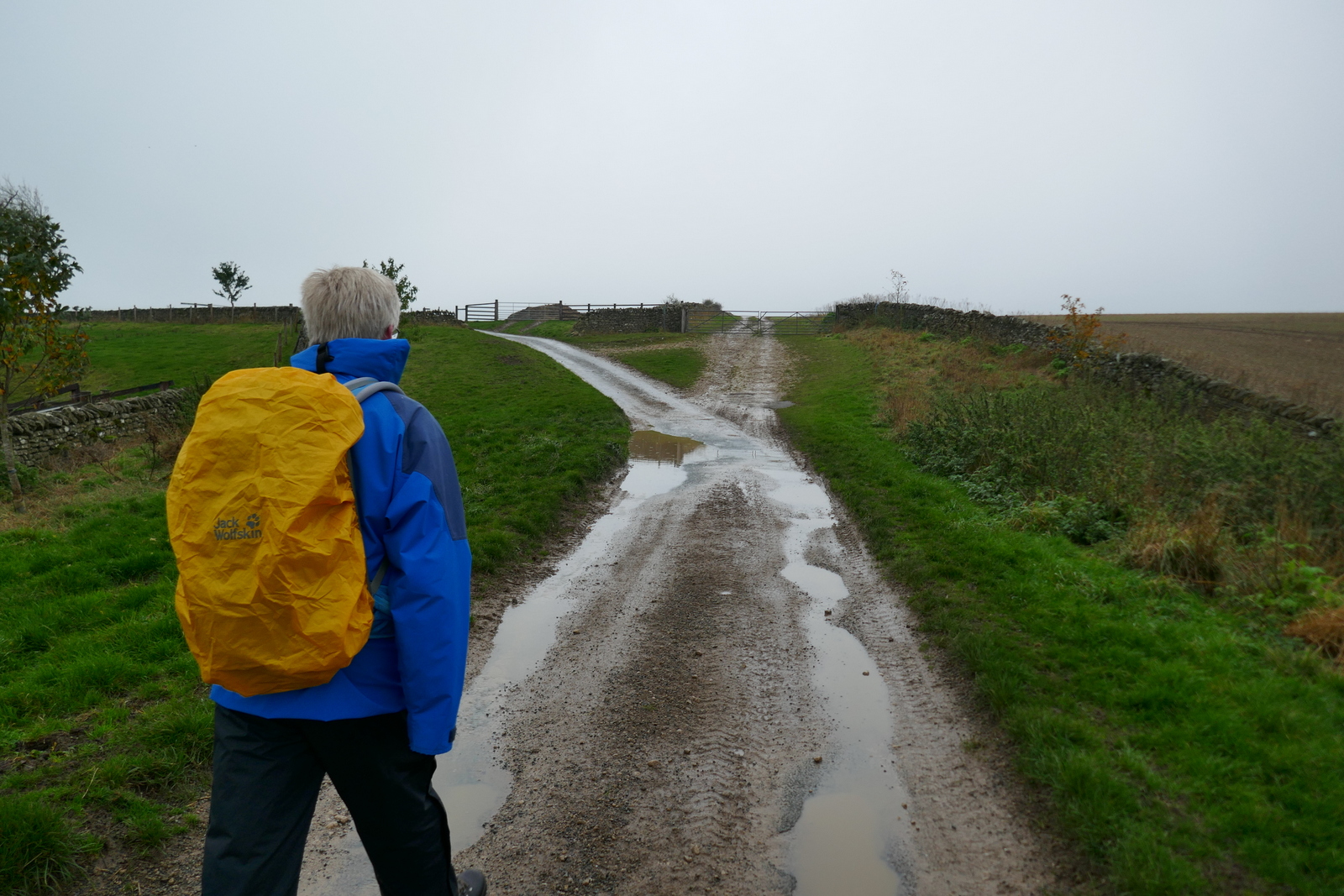
We drove to Murton Grange taking the Laskill turn-off from the B1257 Stokesley to Helmsley road and parked on the verge near to the buildings of the Grange. On our previous visits the Grange has been painted white but it has now been returned to its original stone.
.jpg) |
| Today's walk from The Walker's Guide to the Hambleton Hills |
 |
| Murton Grange today |
 |
| How it looked in the past |
Tom Scott Burns explains that a 'grange' was a farmhouse attached to a religious order and Murton Grange once belonged to the monks of nearby Byland Abbey.
We walked past the Grange and continued straight ahead until arriving at a fork, the main lane going on to Caydale Mill but we took the right fork down into the hidden valley of Caydale. Tom Scott Burns tells us that at this spot the last wild cat in England was shot in 1840, by a Charles Harrison.
 |
| Take the right fork |
 |
| Down into Caydale |
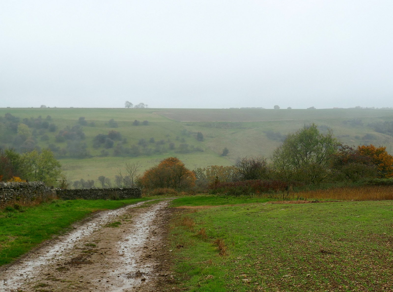
We reached the bottom of the valley and crossed several streams of crystal clear water, known as 'rills'. These are shown on the map above as Old Byland's Water Race and Limperdale Gill. In the 1740s a Joseph Ford of Kirbymoorside perfected a system of tapping into springs and channeling water in open 'rills' some 12 inches wide. Water was diverted by this method through Caydale from King Spring to the village of Old Byland and the straight rills remain.
 |
| Caydale |
 |
| The Rills are full to overflowing |
We crossed the valley floor and started up the other side. Until a couple of years ago this climb was through trees but all vegetation has been removed and the area converted to rough grazing meadow.
A consequence of this clearing has been the removal of the old 'Captain's Seat' which is shown on the map above, and which we used to pass by, although even then it was in a dilapidated state. We would like to know who the Captain was and why he would sit at such a remote spot.
Leaving the climb and Caydale we crossed several fields to reach the High Leir Lane where we turned right and walked on tarmac to pass Weathercote Farm with its novel 'cat and rat' weather vane.
 |
| Crossing Cleveland Road |
 |
| Autumn colours |
 |
| We join the Cleveland Way |
 |
| Boltby in the mist |
 |
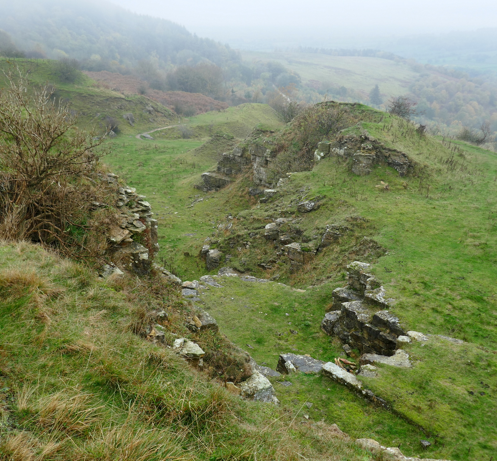
| The Old Quarry |
 |
| Extensive workings |
 |
| We settle down for coffee and scones |
We set off once more towards the Old Barn, walking straight past it following the Cleveland Way. We crossed Sneck Yate Bank Road and continued along a forest path to reach High Paradise Farm. Unfortunately the tea room at High Paradise is seasonal and now closed so we carried straight on to reach the old drove road, Hambleton Road.
 |
| The view from our coffee stop |
 |
| Approaching High Barn |
 |
| Increasingly derelict |
 |
| Entering Boltby Forest |
 |
| In Boltby Forest |
 |
| A rare Legless White |
 |
| Low Paradise Farm |
 |
| Looking back to the old barn on the horizon |
 |
| Arriving at High Paradise |
 |
| .. and passing it by, the tea room being closed |
As we approached the Hambleton Drove Road we were greeted by a couple of pigs who raced across their paddock as we passed by. Clive had a spare apple in his bag so it was duly shared between them.
 |
| "Yoo-hoo, wait for us!" |
 |
| Handsome is as handsome does |
 |
| "Back a bit.." |
We crossed straight over Hambleton Drove Road and walked onto Daletown Common where we continued for about two miles towards the old ruined barn at Noddle End.
We were surprised to come across a partridge lying on its back in our path, with its legs stright in the air. At first we thought it must be dead but on examining it we saw its eyes were blinking and it was dribbling water from its beak. Clive, who kept pigeons and knows about birds, picked it up and checked it over. There was no structural damage so it must be something it had eaten? He carefully put it down the right way up expecting it to remain there but it ran straight off into the winter crops, apparently cured.
 |
| Not dead, merely resting |
 |
| "Seems OK" |
 |
| Off at a run |
We were amused by the partridge and suspect it had either eaten something which had 'floored' it or was suffering one of the many diseases game birds get.
The mist came down again and we suddenly came upon the barn at Noddle End, where we normally have a fine view into Gowerdale. No such view today so we pressed on down into the valley.
We passed the front of the house which has the bleak message, "Look around and get out!" painted on the front door, and then followed a rising path to reach Dale Town Farm.
 |
| Dale Town Farm |
We turned right into a cow field just after passing the farm buildings and followed the faint path steeply uphill to the top of Peak Scar Top where we turned left to reach Murton Bank Road and the car.
Reaching the car we looked through the mist down to the village of Hawnby and its pub, The Owl, where we were soon to be found enjoying a pint and discussing today's walk.
 |
| A stiff climb to Peak Scar Top |
 |
| Looking down to Dale Town Farm and Gowerdale |
.jpg)