Captain Cook Country from Great Ayton
8 miles Snow and ice
We parked at the roadside in Great Ayton High Street and walked down to leave the road and cross the steel bridge over the Leven, opposite Suggits Ice Cream Parlour.
 |
| Today's walk from the The Walker's Guide to the Cleveland Hills |
 |
| Ayton High Street from our car park spot |
 |
| Captain Cook |
 |
| The River Leven from the steel bridge |
Tom Scott Burns remarks that Great Ayton
was known as Canny Yatton and in the early 1800s was the haunt of Au'd
Nanny, a notorious witch described in Blakeborough's dialect verse T'
Hunt o' Yatton Brigg.
"Her naals they war lang, an' humped war her back,
An baith lugs war pointed, her skin ommaist black... "
Just over the steel bridge we came to an old 'pissoir', now sited as a tourist attraction, and not a working one. I remember when I was a boy it was painted green and when out on my bike I was glad to come across it, sited further up the High Street near what used to be the Friends' School.
We followed the river along field paths towards Little Ayton.
 |
| Pissoir, but not for use |
 |
| Field tracks towards Little Ayton |
We passed by Woodhouse Farm and after
crossing a couple more fields came to a stile and a tarmac road. We
followed the road through Low Easby Village where we admired a 1966 Land Rover. We stopped at Easby Mill to chat to a couple of friendly geese and I was pleased to spot a nice weather-vane featuring a huntsman.
 |
| Woodhouse Farm |
 |
| Horses at Woodhouse Farm |
 |
| Looking back at Woodhouse Farm |
 |
| Leaving the fields to join the Easby road |
 |
| Easby and 1966 Land Rover |
 |
| Weathervane at Easby Mill |
 |
| Clive chats to a couple of geese |
 |
| "Any food?" |
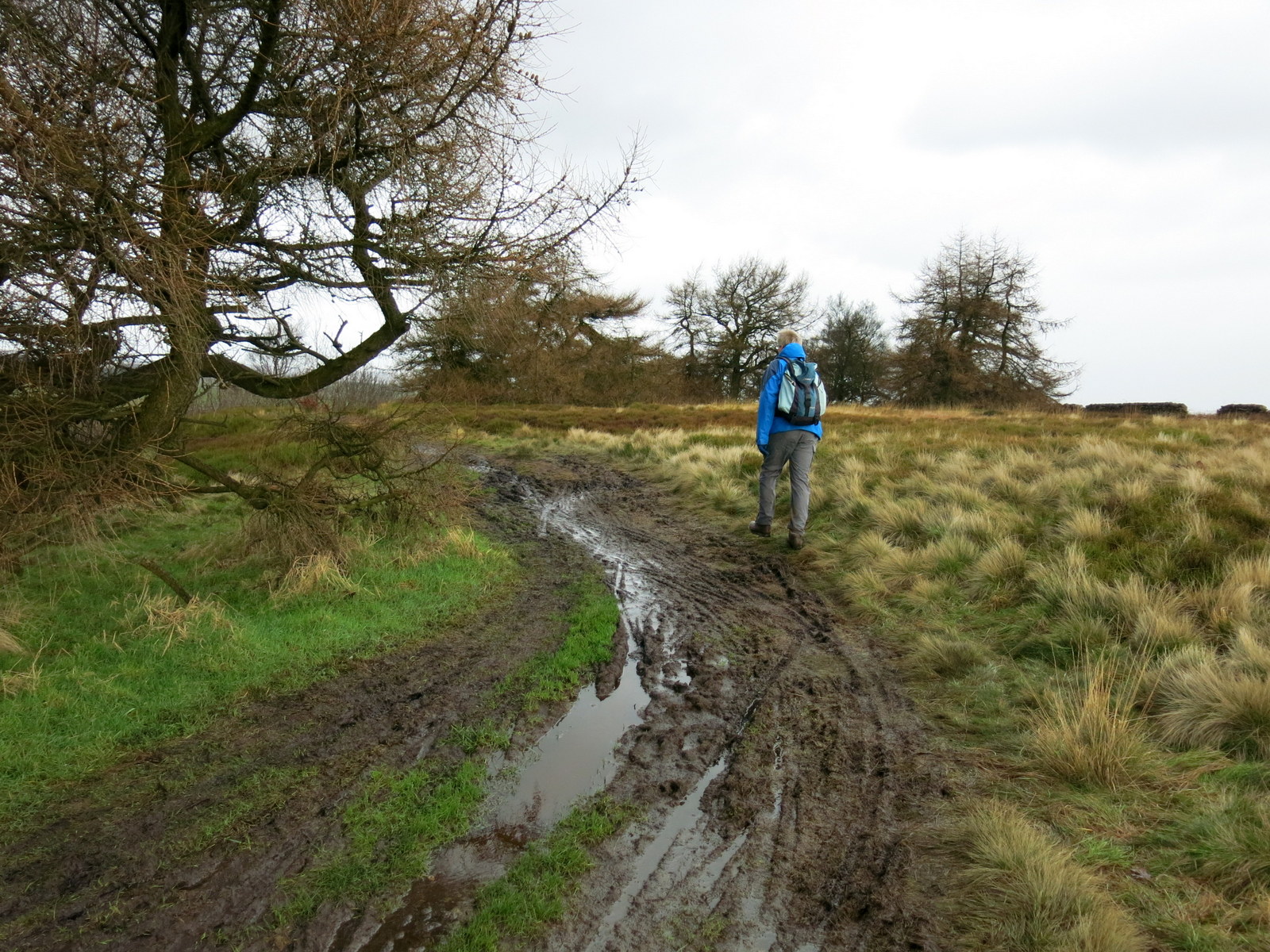
We stayed on the tarmac road for half a
mile carefully avoiding patches of black ice, before crossing a way-marked stile into fields just before Borough
Green Farm, to begin a steady climb to Easby Moor.
 |
| Distinctive Kerry Hills, Welsh hill sheep at Easby |
 |
| We follow the tarmac road for half a mile or so |
 |
| Leaving at this stile to follow field tracks |
 |
| A slow climb up to the moor |
 |
| Looking back towards Easby |
 |
| Through the moor gate and turn right |
Reaching the Moor Gate we turned right
to follow our path below the moor to Mill Bank Wood. Entering the wood
we walked for over a mile. Our path had been used by motor cycles and
horses which, together with snow and ice made it very awkward to walk. TSB says that
the wood is named after an old Bleach Mill where woollen cloth was
'fulled' in order to soften and shrink it to a warmer, closer weave. The
mill was destroyed on the night of 21st July 1840 when heavy rains
caused enormous volumes of water to burst two fishponds at Kildale Hall.
A wall of water 40 feet high carried away two stone bridges, a corn
mill, sluice gates, an earth dam and the bleaching mill, as it rushed
towards Great Ayton.
We came out of the woods by Bankside Farm and joined the tarmac lane. We sat on convenient stones in front of a barn to enjoy our coffee and scones while looking down towards Kildale and the old Church. While we were sipping coffee a large walking group passed us with cheery remarks, the only other people we saw on the hills today.
 |
| Entering Mill Bank Wood |
 |
| The old buildings of Bankside Farm |
 |
| Looking down to Kildale Church from our coffee stop |
 |
| Kildale from our coffee stop |
 |
| A group of walkers pass by |
We followed the farm road uphill from
Bankside Farm until we came to a fork where we turned left to walk
through the trees of Coate Moor. A gentle climb along an icy path
led us to Captain Cook's Monument.
 |
| Kildale Hall from our coffee stop |
 |
| We leave the tarmac to follow the Cleveland Way |
 |
| Towards Captain Cook's Monument |
 |
| Crossing Coate Moor towards the monument |
 |
| Memorial plaque on Monument |
 |
| Looking back to Captain Cook's Monument |
After admiring the monument and reading
its inscription we continued across Easby Moor between two stone gate
posts before reaching a clearly marked path downhill to our left.
Our path was very slippery with hard ice which turned to mud as we reached the steep descent from the moor. I fell over only once!
 |
| Approaching the descent from Easby Moor |
 |
| A slippery descent |
 |
| Nearly down... |
 |
| Roseberry from our path |
The path levelled out and we walked
through the snow and mud alongside Nanny Howe to our right, which is where Au'd
Nanny held midnight orgies at the legendary Devil's Court. We reached the tidy cottages and the White House at Gribdale Gate and crossed the lane to carry on uphill towards Aireyholme Farm, where Captain Cook's father was bailiff
in 1736 and where his family took up residence.
 |
| Alongside Nanny Howe |
 |
| Tidy cottages at Gribdale |
 |
| Aireyholme Farm, once the home of Captain Cook's family |
 |
| Duckpond at Aireyholme Farm |
We spotted a new information sign at Aireyholme Farm.
We read the sign with interest and then continued along the
track which brought us to tiny Airy Holme Cottage where we turned sharp left
to cross fields to approach Cliff Rigg Quarry from the opposite side to last week, when we walked round the flanks of Roseberry Topping.
We followed the path straight downhill below the quarry,
crossed the railway line once more and followed a muddy path alongside
Cleveland Lodge, which eventually led us back into Great Ayton.
 |
| Clive commiserates with cattle wintering in the barn |
 |
| A muddy and icy descent to the railway at Easby |
 |
| We cross the line near the old station house |
 |
| A muddy path alongside Cleveland Lodge |
To our surprise the path emerged on the High Street, opposite the Royal Oak Public House and as we felt that our exertions deserved a reward we popped in for a pint of Deuchars India Pale Ale.