The Drove Road and Windygill Ridge from Boltby
7 miles Cool and Dry
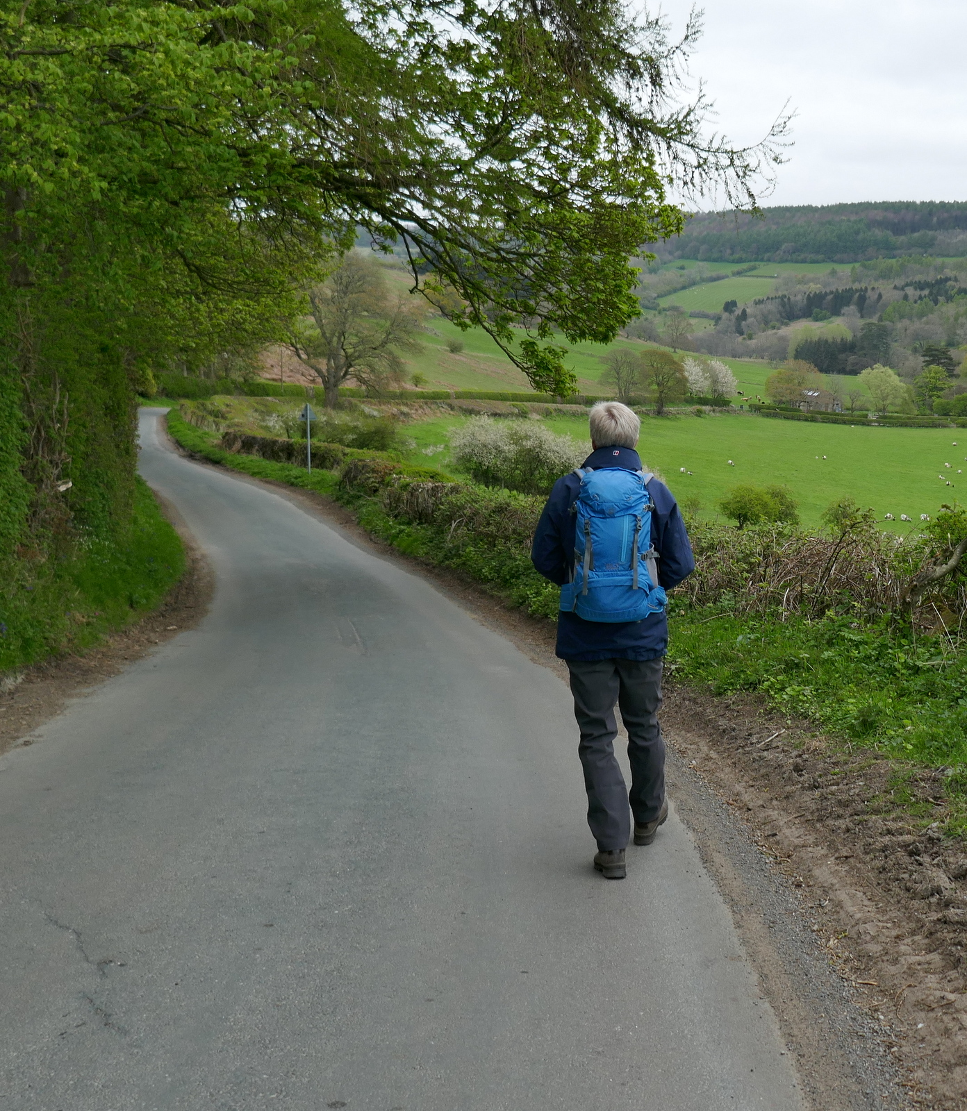
We drove through Boltby and parked at a hard shoulder on the right hand side of the road, shown by 'P' on the map below. After booting up we walked uphill along the same road, away from the village, until turning left at a footpath sign into a farm track to Lunshaw House Farm.
 |
| Today's walk from The Walker's Guiide to the Hambleton Hills |
 |
| On Sneck Yate Bank |
 |
| Fine display of bluebells on Sneck Yate Bank |
 |
| Turn left at the sign for Lunshaw House Farm |
Before reaching the farm we crossed a stile on the right to follow a field path signposted Low Paradise. As we did so a farmer, previously unnoticed, shouted, "Ignore the Bull sign, I have to put that there by law. There's no bull but stirks and that's the nearest sign for them. They won't bother you". We stood and chatted for a while, my first question being "what's a stirk?" "Year old's that have had their knackers off", we were bluntly told. The beasts in question were Belted Galloways and we were assured they wouldn't even lift their heads as we went by. We chatted for a while about the difficulties farmers faced with animals and walkers before saying cheerio, it was nice to meet such a friendly farmer.
 |
| A Bull? |
 |
| "Nay, just Stirks in that field" |
 |
| Very dry conditions today |
 |
| A victim of Ash Die-Back |
 |
| The Stirks in question |
Our path follows the camber of the hill for some time but its awkward 45 degree camber was made easy today by the dry conditions, then it drops down into woods before Lunshaw Beck.
 |
| Low Paradise Farm appears in the distance |
 |
| We see more of these silvery coloured pheasants which are supposed to better game birds |
Crossing the beck we started a mile long ascent which TSB correctly describes as a 'muscular climb'. As we approached Low Paradise Farm we saw a lamb in a distressed state. It had got onto the wrong side of the fence from its mother but when Clive picked it up to return it we saw that it appeared to have an eye injury which added to its confusion. Popping it over the fence it ran to its mother for a noisy reunion.
 |
| A poor little lamb that has lost its way |
 |
| It can't see from this eye |
 |
| Reunion |
We passed by the always well ordered Low Paradise Farm which was having an extention built and continued to climb to reach Oak Beck Cottage. After this a further 'muscular' climb brought us to High Paradise Farm and its tea room.
 |
| Low Paradise Farm |
 |
| Oak Beck cottage |
 |
| "Wonder if the tea room will be open?" |
 |
| "It is!" |
As we left the farm we paused to admire its rare breed Berkshire pigs, renowned for their chops if not their beauty.
 |
| Handsome is that handsome does |
 |
| "Got any apples?" |
 |
| Grass will do |
We walked towards Sneck Gate and the moor. Passing through the gate we were now on the Hambleton Drove Road, which we followed left for 1.5 miles, soon reaching forest.
We walked on through the trees for some time and then, just before reaching the ruins of Steeple Cross (first mentioned in 1246 but no longer a cross, now just a 2 feet high piece of stone) we turned left to enter the plantation's trees.
 |
| On the Drove Road |
 |
| The old Boltby Forest sign propped up against the fence |
 |
| Approaching Steeple Cross |
 |
| The remains of Steeple Cross |
 |
| Turn left through the gate |
We walked through the forestry plantation to emerge at Gallow Hill where we had a view towards Cowesby village far below.
 |
| Clive remarks on the amount of fallen trees on Windygill Ridge |
 |
| Looking down towards Cowesby |
We followed the broad path along Windygill Ridge. To the left of the path along the ridge is a forestry plantation, ahead the Vale of Mowbray and to the right, Black Hambleton and the hummock of Seta Pike, about a mile ahead.
Just after passing Seta Pike our path turned left on to a steep forestry path. The track was rather faint and although dry today, normally can be boggy; the steep descents are slippery and progress was slow. The path eventually levels out and we picked our way through Gurtof Wood, looking down on Gurtof Beck running below us. Quite a lot of trees have been blown down and a few had fallen awkwardly across the path making frequent diversions necessary.
 |
| We turn left off Windygill Ridge and start to descend |
 |
| Springs make the going wet in places... |
 |
| ... and fallen trees block the path in others |
We came to a large area of Gurtof wood that used to be thick with conifers and were amazed to find it gone, its harvesting leaving a scene like the Somme. At first we were confused as to our path's location but some kind soul had painted blue FP signs at regular intervals and we followed them to what was once the wood's boundary, where we entered fields.
 |
| Devastation |
 |
| A handy vantage point allows us to plot our route... |
 |
| ... that-a-way somewhere |
 |
| Handy sign |
 |
| Follow the blue arrows.. |
 |
| The same spot a couiple of years ago |
 |
| Leaving Gurtof Wood |
We then walked through fields using way-marks on the field boundaries as guides until we joined a wide track. We followed this to a green lane, which, after passing by a smallholding with sheep and a horse, led us to Boltby.
Our path exited at the west end of Boltby village and we turned left to walk along the road. Set back from the road is Holy Trinity Church and finding it unlocked we were unable to resist having a look around. The church is in very good repair considering that, as TSB points out, it was first erected in 1409 and rebuilt in 1859. We were very impressed by the timber cross sections in the roof which are striking to look at.
We continued our walk through Boltby to the short steep climb to the car park. The Johnstone Arms being no more we made the short drive to Osmotherley where we discussed today's walk over a well earned pint.
 |
| The ancient packhorse bridge at Boltby |
 |
| Merry Hall |
 |
| Built 1678 |
 |
| The last climb begins |
 |
| Passing cottages in Boltby |
 |
| The view across to Boltby Scar from the car park |
 |
| "To gentle stirks!" |