"There must be dales in Paradise
Which you and I will find.."

Thursday 25 August 2016


Hazel Head to Arnsgill and Cow Ridge

          7 miles                       Misty and still


We approached Hazel Head Car Park via a 6 mile drive along the unclassified road from Osmotherley and after driving past the ford at Blow Gill ('ravine with the dark ford') we parked at Hazel Head car park.

After donning our boots we returned along the road, back to Blow Gill where we admired an old lime kiln at the side of the road before climbing back uphill to Street Gate Farm.


Today's walk from The Walker's Guide to the Cleveland Hills

Sheep at Hazel Head Car Park

Looking upstream at Blow Gill

Roadside Lime Kiln

Blow Gill

We thought it was unusual to see fully grown trees of different species so close to each other

Turning off the road at Street Gate Farm


Tom Scott Burns explains that a number of farmers in the region had their own lime kilns for burning lime, which was used for lime washing walls and dressing the land, a custom going back to Roman times. The lime neutralises the acid in the moorland soil allowing more varied crops to be grown.

The farm track led past Street Gate Farm and into South Wood.  Although now very overgrown and wet, this is an old lane and TSB tells how these lanes were used by tinkers and pedlars who became very numerous in the Middle Ages.   As well as selling goods these travelling salesmen were responsible for circulating news and delivering letters between settlements.

We surprised a large hedgehog in South Wood, plump and healthy looking, but we reflected how rarely we come across them on our walks.


Approaching Street Gate Farm

Hedgehog freezes as we approach

He looks fit and well

Overgrown path through South Wood

The track led us past another farm, Hagg House, where our arrival was heralded by a deafening cacophony of barking from a pen of spaniels.  We were impressed by an army all-terrain vehicle, ideal for these so called lanes.


Unusual farm vehicle at Hagg House

We continued along the wet lane until we reached Birk Wood Farm where we turned right and climbed steeply to reach a tarmac lane.  We turned right passing by another lime kiln and reached the moor gate.


Wet lane near Hagg House, note tree house.

Progress was slow as we picked our way through the mud

The lane improves as we approach Birk Wood Farm

 Letter box on the moor gate

As we entered the moor we passed a batch of bee hives, the first of several such batches that we saw today.  Opposite the hives was the reason for their presence, masses of flowering heather and as we walked along the scent became very strong and intoxicating.


Bee Hives....

... opposite the heather


The heather was in full bloom and we were sorry we weren't walking in sunshine, even so, it was very pretty. 

We walked passed a keeper's cottage (we were soon to meet the keeper at Head House) and Hill End Farm and walked on to Arnsgill Ridge with Snilesworth Moor to our left.  TSB says that in 1150 Snilesworth was written as Snigleawath, Snigels' Ford, based on the Norse word snigill, a snail.


Heading towards Hill End Farm

A nice contrast!

Tracks had been newly sanded and were a pleasure to walk on

Keeper's cottage

Crossing towards Arns Gill


Our track was now a distinct shooter's track that had been topped with sand recently, and after crossing the little footbridge over Arns Gill we climbed briskly to the moor above.  

We came to a large flat stone and decided to stop for coffee.  It was warm and still and a pleasure just to sit and listen to the bees droning as we ate our scones.


Bridge over Arns Gill

Leaving the bridge was a problem...

Climbing towards Hill End Farm

Another lime kiln at Hill End Farm

Passing the moor gate


A convenient rock makes a fine table.. and seat


Eventually we resumed our walk and coming to a fork turned right to drop down to Head House, an abandoned farm which is now used by the keepers for storage of bird food and the like.  We saw that a quad type vehicle was parked outside and as we passed by the keeper emerged and we stopped to chat.  He was friendly and it gave us an opportunity to ask a couple of questions we had been puzzling over.  For example, why did the keepers put out so many trays of grit for the birds, presumably there was no food in the grit? Couldn't the birds get grit for their gizzards without it being provided ? He explained that the grit was medicated to prevent the birds getting lung worms etc.  They had 10,000 birds to look after and disease can spread like wildfire amongst them.  

He told us he and his team were responsible for the newly sanded tracks and shooting boxes and showed off his vehicle, a brand new  Polaris 4x4, an American vehicle.  We asked about the hives, he said the honey produced can be bought in Osmotherley.  Why was no-one shooting?  This was the second Thursday we had walked since the Glorious 12th and we hadn't heard a shot.  Apparently there had been shoots on Monday, Tuesday and Wednesday but they didn't generally have a shoot on a Thursday.


We always check for trapped rabbit babies nowadays....

Head House

Head House and Keeper's 4x4

More hives

We re-crossed Arns Gill and climbed to Cow Ridge and strode out along the moor path for a couple of miles.  

We came to a cairn which marked the location of Iron Howe.  TSB points out that all along this stretch are well preserved field boundaries and over 300 cairns dating from 2300 to 800BC.  Although they don't show well in the photographs they are in fact very noticeable as you walk along this stretch of the path.


Looking back at Head House

We remember that this rock used to have the word 'GROUSE' painted on it, someone else obviously didn't think it was funny and painted it white

Stoat or mink trap

More hives

Presumably this is to keep sheep off, but what of value is growing?

Cairn at Iron Howe

Bronze Age workings all along this stretch

Passing the last of the old cairns


We started to walk from Iron Howe downhill towards Blow Gill.  The last time we walked along here, in 2014, we had fine views towards Hawnby Hill and Easterside Hill but today they were hidden in mist.  

We followed our path past the strangely named Scotland Farm, spotting the old Wesleyan Chapel on the left, where we have stopped to rest on previous walks, before rejoining the road for a short walk back to Blow Gill and our car.


Scotland Farm

Old Wesleyan ruined chapel

Friday 19 August 2016


Kirby Knowle to Felixkirk and Boltby

8.5 miles          Fine and warm


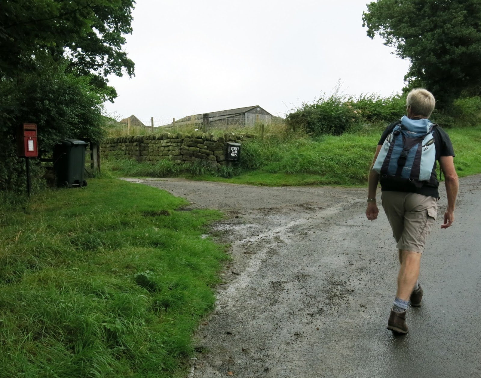
We approached Kirby Knowle from the Knayton A19 turn-off and parked at the side of the road opposite St Wilfred's Church.


Today's walk from The Walker's Guide to the Hambleton Hills

St Wilfred's Church

Looking towards the altar


Modern window dedicated to Doctor Jane Rajan

There is a fine modern window dedicated to Doctor Jane Rajan.  See this link for more information.  

We left the church and walked out of the village towards Upsall along the tarmac road.  Over to our right, high on the hill, we saw the imposing 'Newbuilding'.  Although it is called Newbuilding, Tom Scott Burns explains that it actually dates from the 13th century.  It has been restored and modernised but still contains many of its original features.


Walking from Kirby Knowle towards Upsall

'Newbuilding'


Just before Upsall we turned off the road into fields and followed a little walked and very overgrown path to Turton Beckstead.  Beckstead means 'a farm near a river' and as we reached the beck we saw that a large stone engraved 'The Turton Beckstead' which we had seen on a previous walk was now covered in moss and illegible, and remained so despite Clive's efforts to clean the lettering. There are a lot of  building stones here and it looks as if an old bridge has collapsed.


Leaving the road before Upsall

We cross a couple of cow pastures...

... before dropping down to Turton Beckstead

There was probably a bridge here

Old lettering on this stone had disappeared in moss

Scraped but still not readable

How it looked in 2014
TSB informs us that in the 1860s some mourners were carrying a body to Kirby Knowle for burial.  The bearers set down the coffin to briefly rest at this spot but on lifting it again it felt much lighter and they discovered that the corpse had disappeared. The empty coffin was buried and the site at Beckstead Wood became known as Lost Corpse End.
Climbing out of Turton Beckstead

Our path is hidden at the field edges

We pass a couple of fields that have been left to return to nature....

Meadow Salsify or Jack Go To Bed at Noon flourish in this field

Approaching the Felixkirk road....


...but first a couple of rickety stiles


Our path disappears amongst the wild flowers


Felixkirk appears in the distance

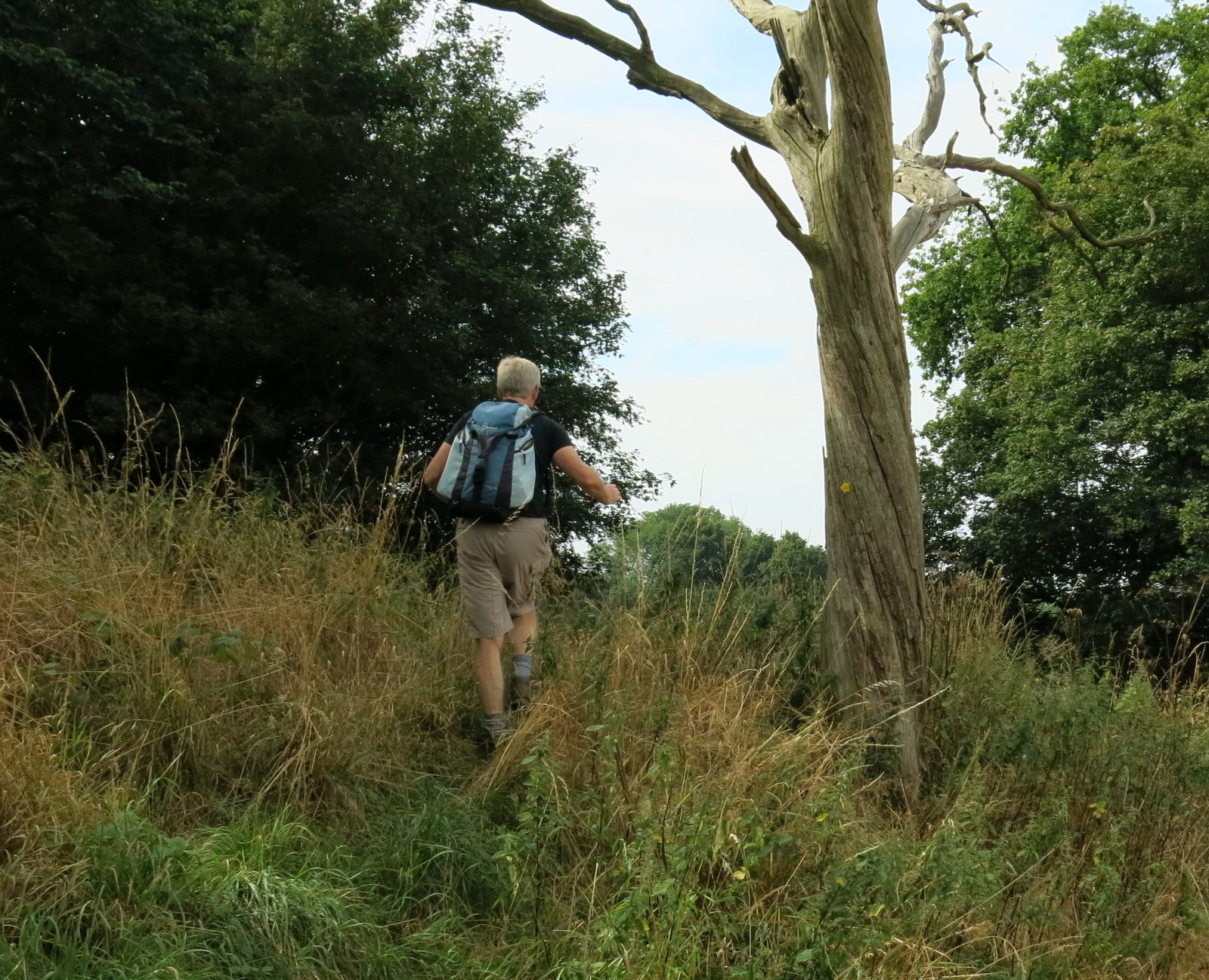
Our path does not appear to have been walked and we relied on yellow way mark signs on the field edges to keep us right.
We soon arrived at a tarmac road and walked into Felixkirk.  We were fortunate to find the church unlocked and going inside met the church warden who asked us if we were looking for a particular grave.  He told us he had a map of the graveyard we could study.  We assured him that we were just nosy hikers who were just passing by.

St Felix's is a large church for the size of the village and in very good repair.  Nice windows and again I was impressed by a modern window, dedicated to a retired army officer.
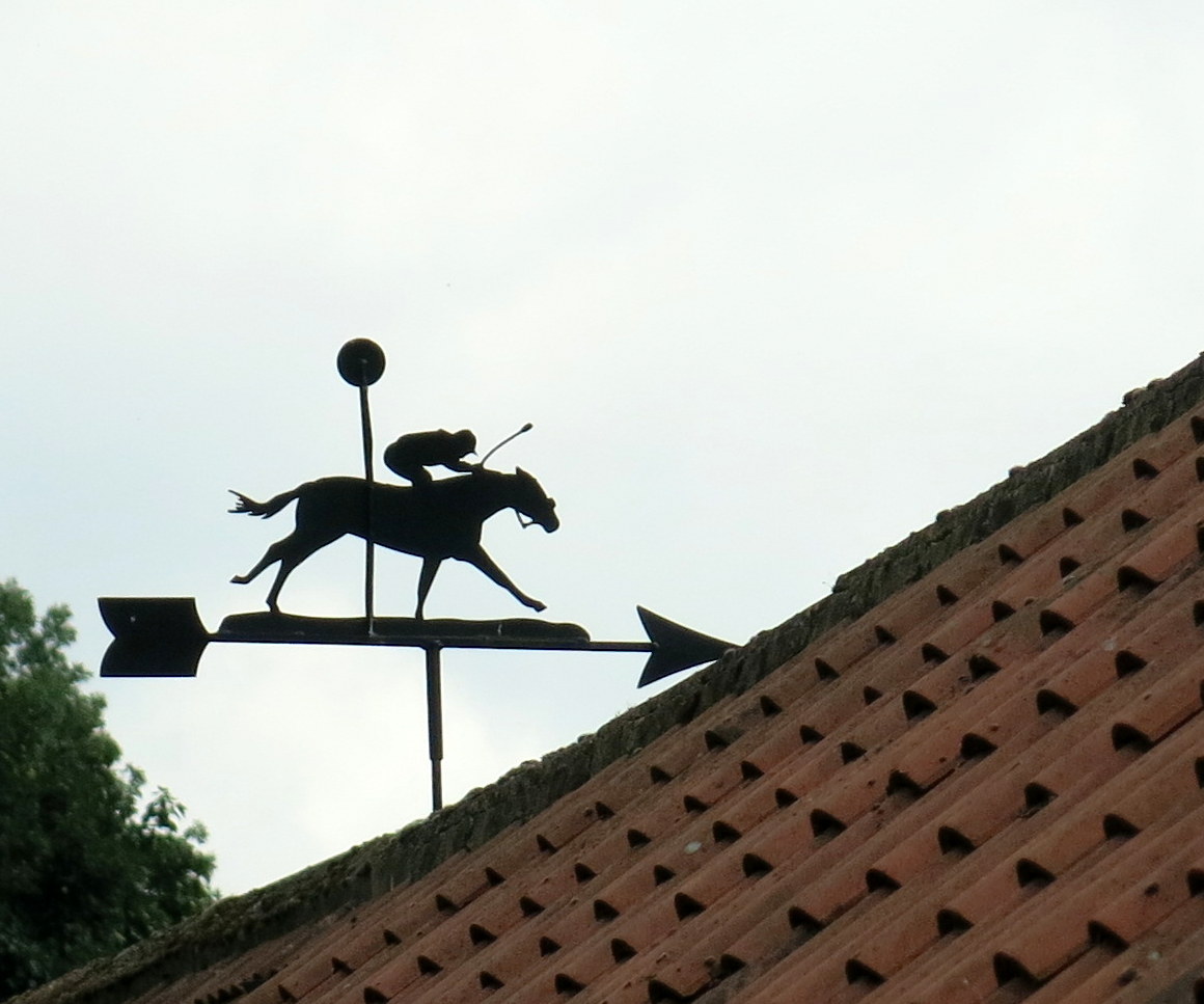
Pointer weather-vane at Felixkirk

Walking through the village

St Felix church at Felixkirk


Interesting carved heads at St Felix Church

The interior

Old slab, note spelling of Felixkirk
'Twenty years I was a maid, 1 year I was a wife. 18 hours a mother, and then departed life'


St Felix, another view


We were pleased to see that sheep were being used to keep the grass down in the churchyard.  A very sensible idea, we thought. 


We retraced our steps to the outskirts of Felixkirk and turned right at a road junction and passed the lodge to Mount St John, once a preceptory in the days of Henry I. We turned right down a lane towards Cinque Cliff House where the path has been diverted by the new owners through fields around the back of the house.  While on this diversion we sat on the sloping fields with a nice view to our left of Whitestone Cliff, to enjoy our coffee and scones in the warm sunshine.


Felixkirk

Looking across the fields towards Thirsk

Lodge at Mount St John

Ornate lodge

A nice view to enjoy with coffee and scones
Cinque Cliff House

We set off once more and our diversion rejoined the track below Cinque Cliff House and we followed a grassy lane to the road, where we turned left and walked into Thirlby.


A grassy lane to Thirlby


Fox weather-vane at Thirlby

Ploughman weather-vane at Thirlby

The Forge cottage, delicious jam for sale 
As we passed The Forge cottage we noticed a cupboard with a sign advertising 'Jam for Sale'.  I couldn't resist a jar of home made raspberry jam and stuck it in my rucksack pocket. Now tested and found to be delicious, it will be ideal for next week's scones!

Horse and cat weather-vane at Thirlby

Pear Tree House, home of the Wren Man
Thirlby is famous as the home of a woodcarver, Bob Hunter, who worked with 'Mouseman' Thomson of nearby Kilburn.  Bob used the trademark of a wren and his workshop is Pear Tree House down by the ford.  
 

We walked past the workshop and some attractive cottages before turning left into fields.


'No shop or inn is there here about, so why not sit down and enjoy summat for nowt'  - donated by 'two good sorts'

We leave the road at Thirlby


We have never seen another stile designed like this one

Just past the ford we left the village through a gateway into a field where we followed a barely discernible track to Tang Hall, crossing a couple of becks and an unusual stile on the way. 
 
A rickety stile into the woods near Tang Hall


Red campion

Boltby appears in the distance

Packhorse bridge at Boltby

Jockey weather-vane at Boltby


Walking through Boltby
We turned left at the packhorse bridge and walked through the pretty village of Boltby before turning right at a waymarked sign at the lane between Spring Garth and Gurtof House.  We then followed a series of field boundaries to reach the modern mansion of Ravensthorpe Manor.
 
Making friends near Ravensthorpe Manor

Is someone hoping to surprise us?

As we approached the manor house we walked through a couple of fields containing horses, who seemed largely indifferent to us and we climbed above the manor house into Westow Plantation.
 
Climbing into Westow Plantation

View towards Thirsk from Westow Plantation
 
A pleasant walk through the woods followed and we gradually dropped back to Kirby Knowle and our car.
We highly recommend this route.  We think it's one of TSB's best paths that is obviously rarely walked, yet it passes through some of the prettiest and most unspoiled areas of North Yorkshire.  

Pheasants near a feeder

Female pheasant

Young pheasants

Kirby Knowle's rooftops

... and back to St Wilfred's