Along the Old Drover's Road from Osmotherley
6 miles Mostly rain
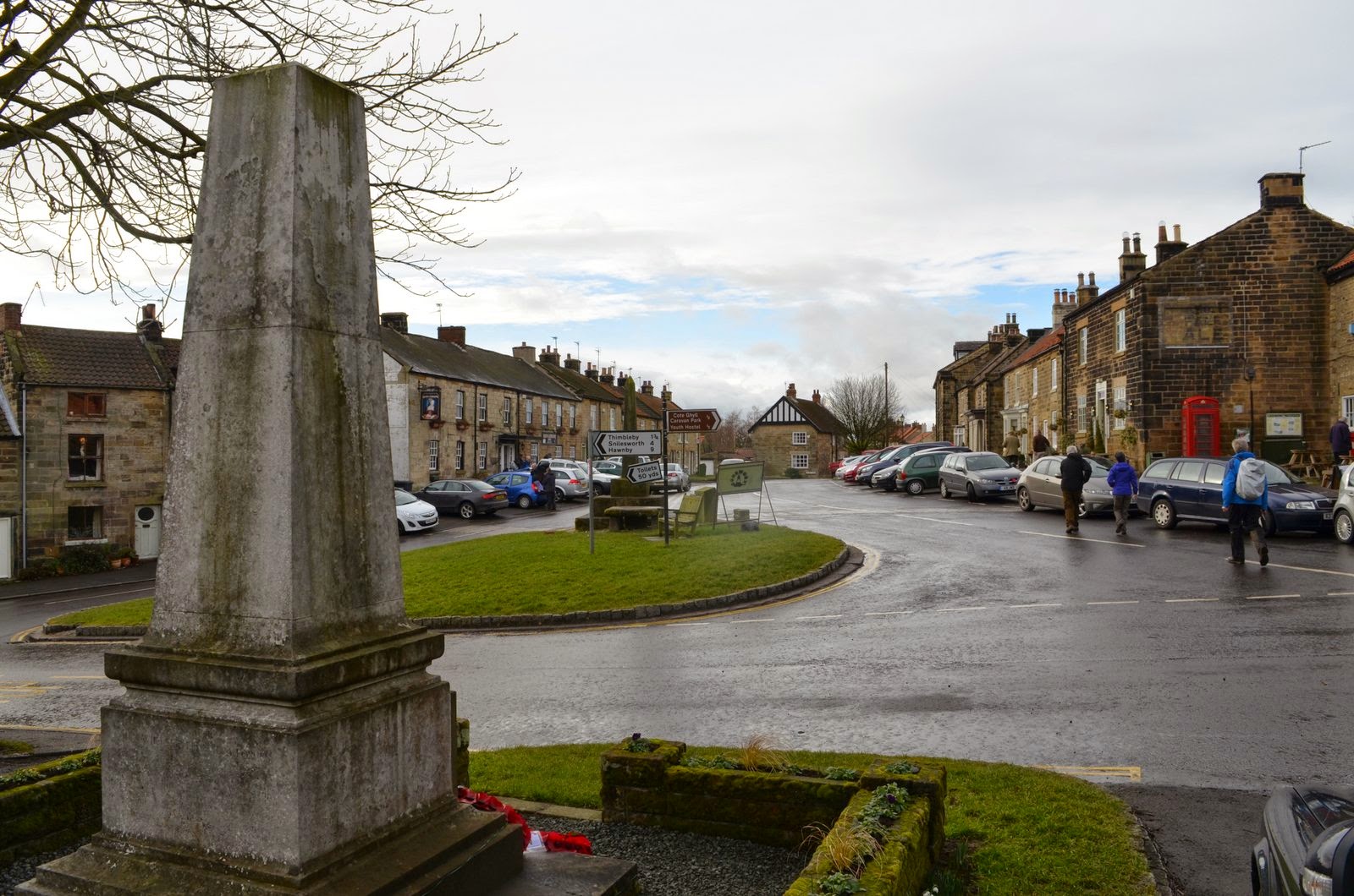
Today's weather was much worse than forecast and we decided to postpone the 9 mile walk we were planning until next week (or until the weather is better) and do a shorter walk from Osmotherley. We parked outside Thomson's old shop, still awaiting renovation, and famous in the area for being a general dealer's shop for 200 years. Steady rain meant waterproofs from the start and we walked through the village, past the pinfold in Quarry Lane, now displaying a new information sign, and turned left into Rueberry Lane.
 |
| Today's walk from The Walker's Guide to the Cleveland Hills |
 |
| Thomson's, a general dealers for 200 years |
 |
| Quarry Lane in the rain |
 |
| Village pinfold, where stray beasts were kept until fines were paid |
 |
| Steady Climb up Rueberry Lane |
A month ago I wrote here how Tom Scott Burns explained that according to tradition Osmotherley got its name following the drowning of Prince Oswy on Roseberry Topping, but TSB also notes that in the Domesday Book the village was called Asmundrelac. meaning Asmund's Clearing. The village was ravaged by William the Conqueror in 1069 and was still described as waste land when entered in the Domesday Book in 1085.
 |
| Looking back to Osmotherley from Rueberry Lane |
 |
| Lady Chapel |
 |
| Leaving Lady Chapel to drop down to the Cleveland Way |
Rueberry Lane led us to Lady Chapel which was founded by Catherine of Aragon in 1515. After the chapel we dropped down to join the Cleveland Way and Coast to Coast track, climbing alongside South Wood to reach the transmitter masts of Beacon Hill. As we walked through the silver birch trees we were surprised to see the carcass of a hare draped over the branches of a tree.
 |
| Climbing through South Wood |
 |
| Dead hare in unlikely spot |
 |
| Beacon Hill |
Shortly after Beacon Hill we passed through the moor gate, signed Scarth Wood and followed the distinct moor track towards Scarth Nick, with the distinct shape of Whorl Hill ahead of us. When we reached Scarth Nick we turned left into the tarmac road and walked along to the beck at Sheepwash. This is where we had planned to have coffee but the rain was heavier than ever so we turned right and walked along to the trees surrounding Cod Beck Reservoir. We found a fallen tree sheltered from the rain and giving a good view down onto the reservoir to enjoy our coffee and scones.
 |
| Through the moor gate |
 |
| Whorl Hill in the distance |
 |
| We reach Scarth Nick |
 |
| Looking down on the road through Scarth Nick |
 |
| The view from our coffee stop |
After our break we decided to vary our route slightly and instead of walking back to Sheepwash we walked alongside the reservoir before taking a left turn and walking up through the woods to High Lane and Pamperdale Moor. High Lane is the old drover's road across the moor and we turned right and followed it to Chequers Farm. This interesting
building was an old inn and held a licence for 300 years until 1945.
When it was a hostelry it was famous for keeping an old peat fire alight
for 150 years! The sign of the Inn was a chequers board signifying
that it would change money for the drovers and on the sign was the
cryptic message "Be not in haste, Step in and taste, Ale tomorrow for
nothing.' As we all know, tomorrow never comes! The old sign has been
mounted behind glass on the farm wall.
 |
| Walking by Cod Beck Reservoir |
 |
| We reach High Lane, the Drover's Road |
 |
| Old sign at Chequers |
 |
| Chequers Farm |
TSB informs us that drovers used to
bring vast herds of cattle from the Highlands of Scotland across the
Hambleton Hills on the way to the markets of East Anglia, the Midlands
and London. Their average pace was just 2 miles per hour.
Just beyond Chequers Farm our path
turned sharp right leaving the drove road and heading gently downhill to
the two small reservoirs at Oakdale where we crossed the beck by an old
packhorse bridge. On this track we were surprised to see a little 'shrine' next to the dry stone wall, dedicated from a husband to his wife. We wondered what relevance this remote spot had for the couple.
 |
| Turn right off the Drover's Road |
 |
| We pass a little shrine |
 |
| Down to Oakdale Reservoir |
 |
| Our second reservoir today |
We walked downhill, past White House Farm, where we were amused to see a black domestic rabbit running happily with wild rabbits.
 |
| Domestic rabbit gone wild |
 |
| White House Farm |
 |
| Crossing Cod Beck |
We crossed Cod Beck by the footbridge and climbed steeply back to the top of the bank where a walk across a couple of fields returned us to Osmotherley. Quickly shedding wet weather gear we adjourned to the Queen Catherine Hotel to discuss the finer points of the walk over a pint of Thwaites Wainwright ale.
 |
| Osmotherley appears in the distance |
 |
| Entering the village |
 |
| We emerge onto the High Street |