Limekiln House and the Drove Road from Kepwick
5.5 miles Warm and still
We haven't done today's short walk since 2015 but I thought it might be suitable for someone (me) suffering with toothache and who doesn't feel like walking too far.
 |
| Today's walk from The Walker's Guide to the Hambleton Hills |
Tom Scott Burns suggests that Kepwick is derived from the Scandinavian Kaeppi and Vik, producing Kaeppivik which means 'a nook in the hills'. It's mentioned in the Domesday Book as Capuic.
In Victorian times it was noted for its lime and sandstone quarries and a railway ran from Kepwick to kilns on the Yarm to Thirsk turnpike road until 1893.
We approached Kepwick from the A19 via Leake Lane and decided that as today's walk was such a short one, we would take time to visit isolated St Mary's Church, which is clearly visible to drivers passing on the A19.
 |
| St Mary's at Leake |
The present building (including its main door and some walls) dates back to the 12th century but there was a thriving Saxon village of Leake with about 1500 inhabitants at this location. It was destroyed in the 'Harrying of the North' by William the Conquerer, and was described as 'waste' in the Domesday book. The church continued in this location and became the parish church of nearby Knayton and Borrowby.
 |
| Entering St Mary's through the 12th century door |
 |
| Looking towards the altar |
It was unlocked so we explored the church and graveyard and enjoyed reading some of the morbid epitaphs.
 |
| The “pew ends” were originally from Bridlington Priory. They were carved by the famous Ripon School of Carvers in 1519. |
 |
| The altar window shows the annunciation |
 |
| The chancel side windows are by Edward Liddell Armitage in 1934. They show a range of different saints |
 |
| The modern Lady Chapel window is by Ann Sotheran, a pupil of Harry Harvey, in 1988 |
 |
| 'Farewell conflicting hopes and fears, where lights and shades alternate dwell, How bright th'unchanging morn appears, Farewell inconstant world farewell' |
 |
| 'Repent in time no time delay, I in my prime was snatched away, In love we lived in peace I died, My life was ask'd but God denied' |
 |
| 'Oh I have lost my infant dear, so heavenly and so mild, a sweet and lovely babe was she, a meek and patient child' |
Leaving St Mary's at Leake we continued to Kepwick and parked at the village hall where there is a free designated car park. We walked east through the village and admired some of the pretty cottages scattered along the main street, before coming to the main gates of Kepwick Hall.
 |
| Cottages in Kepwick |
 |
| The gate house at Kepwick Hall |
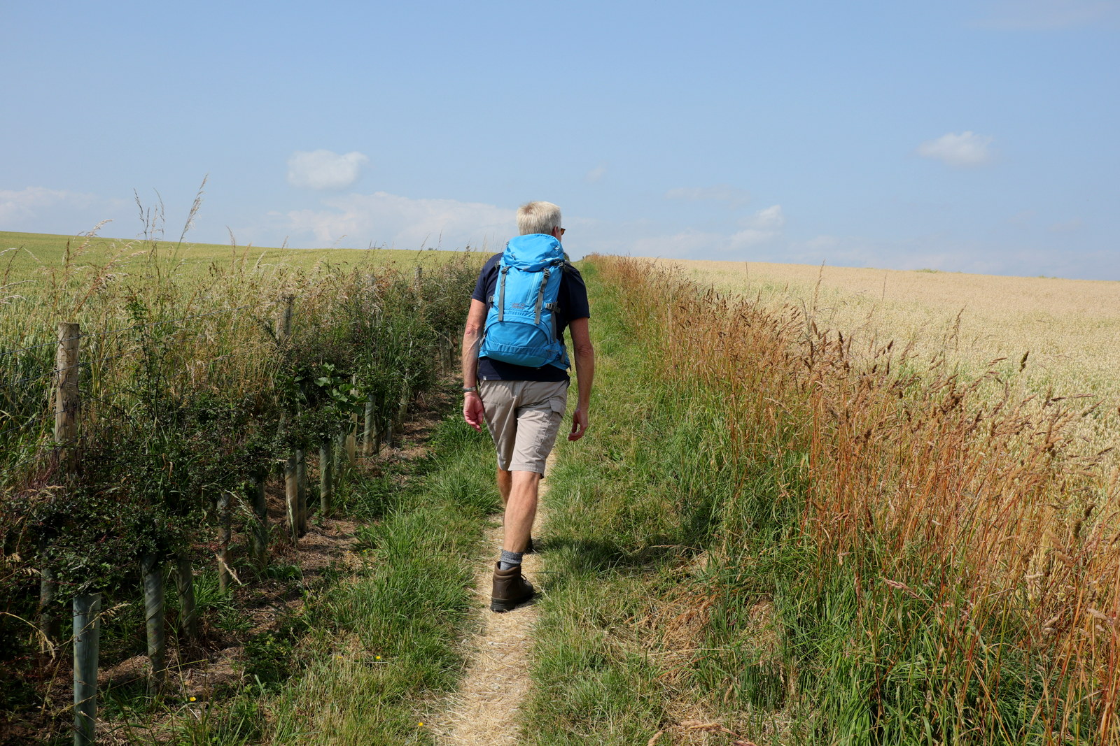
At the gates of Kepwick Hall we turned left, following the tarmac road across the remains of the old railway line and then climbing slowly past French Hill Wood to isolated Nab Farm.
 |
| On tarmac for a while |
 |
| Fine bull near French Hill Wood |
 |
| French Hill Wood |
 |
| Our path runs through Nab Farm |
Leaving Nab Farm behind we looked down across the valley, over Bridge Beck towards Whitestone Scar and Kepwick Moor on the horizon. We could see our path all the way to the high moor.
We came to the ruins of an old lime kiln where the path climbed quickly away from it, following a nice green path alongside a dry stone wall. After a sharp climb we reached a junction of paths where we joined the old Drovers Road. There were some handy rocks here where we sat and enjoyed our coffee.
 |
| Looking towards Whitestone Scar |
 |
| A spring makes the path muddy going for a while |
 |
| Old lime kiln |
 |
| A pleasant green path |
 |
| Looking over to Kepwick Quarry |
 |
| Ideal spot for coffee |
TSB says that just beyond this point we can see the remains of Limekiln House but today all that can be seen of the building is a few stony outcrops and a recently added marker stone. Nearby is a small cross dedicated to Bert 2005 RIP.
 |
| The Old Drover's Road |
We turned right and walked along the old drovers' road for nearly two miles, until we reached the remains of Steeple Cross. TSB tells us that Steeple Cross was referred to as Stepingecross in documents dated 1290 and was probably derived from the old English 'steapinga' - 'dweller on the slope', hence 'crossroads of the hill-dwellers'. All round this area are Bronze Age earthworks.
 |
| Steeple Cross is just before this gate |
 |
| The remains of Steeple Cross |
We turned right at Steeple Cross and walked along the edge of a forestry plantation, soon beginning a slow descent which ended at the top of Gallow Hill.
 |
| Our path is towards the forestry plantation |
 |
| We take the upper of two tracks.... |
 |
| .... keeping to the edge of the plantation |
Here we went through a moor gate where the path becomes a sunken hollow as it crosses the flat plain of Pen Hill.
 |
| Early heathers are starting to flower |
 |
| The top of Pen Hill |
After Pen Hill we started a descent Atlay Bank. Rhododendrons grow thickly on either side of the path for several hundred yards until the track levels into a field.
 |
| Looking over to Nab Farm and our earlier path |
 |
| Entering the rhododendrons |
 |
| At one point the rhododendrons form a tunnel |
We crossed the field and reached the road turning right to walk through Kepwick where there is a small privately owned chapel which unfortunately is locked to the public but has an interesting history.
Originally it was a mission room but was rebuilt as a chapel by the Warner family whose only son was shot down during WWI, whilst serving with the RFC against Baron Richthofen's flying circus. Interestingly his late sister formed the basis of one of James Herriot's characters who owned a lively pekingese dog.
 |
| Cross the field to the road beyond |
 |
| Privately owned chapel at Kepwick |
We made our way back to the car park, which lies just beyond the chapel. We enjoyed this short but interesting walk.