Boltby to Gormire Lake and Whitestone Cliff
7 miles Fine and warm
This time of the year usually brings a week of dog-sitting for Carole and me and this Tom Scott Burns walk from Boltby has very few farm animals to be disturbed by a small terrier.
We reached Boltby from the A19 Knayton turn off and drove right through the village and up a steep hill to the small designated car park at the side of the road.
 |
| Today's walk from The Walker's Gide to the Hambleton Hills |
We walked back into the village from the car park and turned left into a lane.
Tom Scott Burns explains that Boltby is of great antiquity and is mentioned in the Domesday Book as the property of Hugh, son of Baldric.
We walked up the lane past the last of the houses and crossed Boltby Beck at a bridge. We then went through a gate to follow first a faint track and then a cart track to reach the shoulder of Little Moor.
 |
| Leaving the car park and walking down into Boltby |
 |
Years ago the two dogs depicted used to bark at us as we walked past
|
 |
| "Get hold of the dog!" "Why?" |
 |
| That's why! |
 |
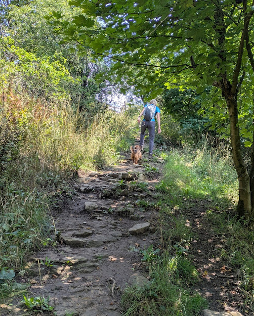
| First a lane |
 |
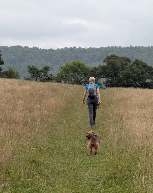
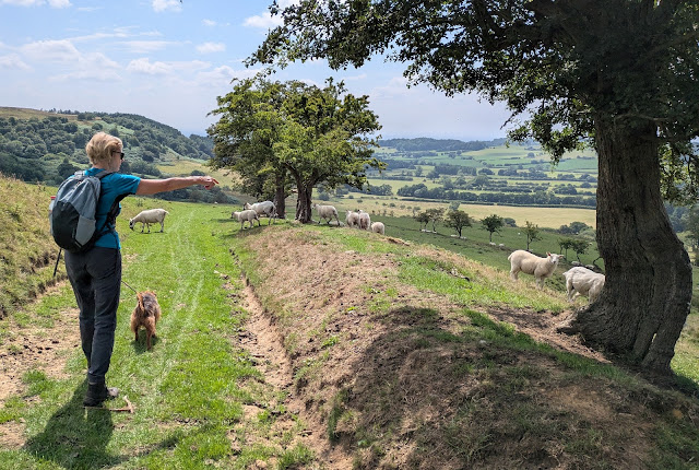
| Then a path over sheep fields |
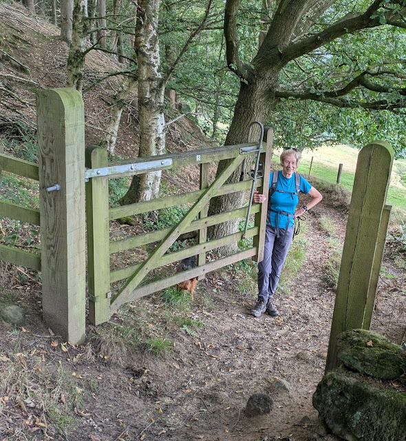
We crossed Little Moor to reach Cow Pasture Wood where we found big improvements to the path, probably to accommodate the pony treks that use this route.
 |
| New path work |
 |
| The stone path is well made and the hedge has been grubbed up |
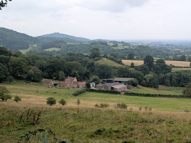 |
| Looking down on Greendale Farm from Cow Pasture Wood |
Leaving Cow Pasture Wood we walked down to Greendale Farm but bypassed it to the right, joining its farm track which led us quickly to Tang Hall Farm. At Tang Hall we turned left just before reaching the buildings and entered fields.
 |
| Gatekeeper |
 |
| Bypassing Greendale Farm |
 |
| Tang Hall Farm |
 |
| Entering fields |
 |
| Looking back at Tang Hall |
After crossing a large field we joined a stony bridleway, once an old coach road, which crosses Huggon Howl to Southwoods Hall. This bridleway was fenced several years ago and planted with hedges that in a few years will hide the hall completely.
Southwoods Hall is a very grand place which was once the home of Seigfried Farnon (whose real name was Donald Sinclair), made famous by the James Herriot books. Sinclair married into money, his wife Audrey Adamson came from a wealthy shipbuilding family and it was her money that bought their home. Strangely TSB doesn't mention James Herriot in any of his guides.
 |
| We try to get Bramble to howl on Huggon Howl |
 |
| Southwoods Hall, Seigfried's place |
 |
| Crossing Huggon Howl towards Southwoods Hall |
 |
| The lake has suffered a bit with the dry spell |
 |
| Hall gates |
The new fencing stretches past the hall to reach the trees at Midge Hole Gate and the gated south entrance to the hall. We now turned into South Woods on a forest path which we followed to reach Southwoods Lodge.
 |
| Entering South Woods |
 |
| Approaching Southwoods Lodge |
We now walked on a broad path through South Woods to pass Southwoods Lodge and enter Garbutt Wood. Our path led us to the shore of Gormire Lake where we were surprised to see that the tree that we usually sit beside has fallen. Nevertheless we managed to find a couple of flat bits to sit on while the dog explored the riverbank looking for rats.
 |
| Entering Garbutt Wood |
 |
| We reach Gormire |
 |
| Oh 'eck, we usually sit there |
 |
| Lunch |
There are two terraces around Gormire and TSB explains that these were once shorelines when the lake was much deeper. It is often described as bottomless but is actually about 27 feet deep in the centre and covers about twenty six acres. Tradition has it that a town stood here which was destroyed in an earthquake, but the lake is actually the result of a glacial overflow channel being blocked by a landslip, hence its position up a hillside. No streams flow from it and its waters are mainly supplied by rain and diminish with evaporation. A major landslip happened here on the 25th March 1755 which was described by Rev John Wesley as 'like many cannons or rolling thunder'.
 |
| A steep half mile |
 |
| Hood Hill |
 |
| Nearly there |
 |
| Gormire from the top |
Reaching the top there is a fine view down to Gormire Lake and over towards Roulston Scar. After catching our breath we set off past Whitestone Cliff, still enjoying James Herriot's "best view in England" from various vantage points.
 |
| Whitestone Cliff and Gormire |
 |
| Cliff top walk |
 |
| Bramble enjoys 'the best view in England' |
 |
| We follow the Cleveland Way towards Sneck Yate |
We now had a three mile walk along the ridge, passing the remains of several tumuli to our right and all the time with fine views to the left over Thirlby and then Boltby.
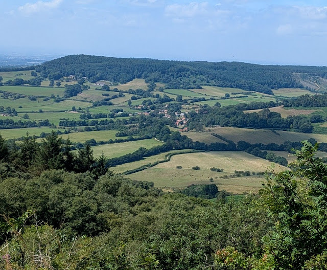 |
| Boltby |
 |
| High Barn comes into view |
Eventually we passed by the remains of an old hill fort and quarry and reached the derelict High Barn where we left the ridge at a sign, turning left to descend towards Boltby.
 |
| Remains of the old fort |
 |
| High Barn is now in a parlous state |
 |
| There are always sheep sheltering here, turn left.. |
 |
| .. and head downhill |
 |
| Carole watches a glider being towed up from nearby Sutton Bank |
 |
| Towards Boltby |
 |
| "There's the car!" |
A steep downhill took us past Hesketh Grange Farm, over a couple of bridges and then steeply back uphill, towards Boltby and our car park.
This is a very straightforward walk to navigate with fine views and ideal for a summer's day. A short drive was necessary before our debrief.
 |
| 'To Gormire!'! |


