8.5 miles Fair
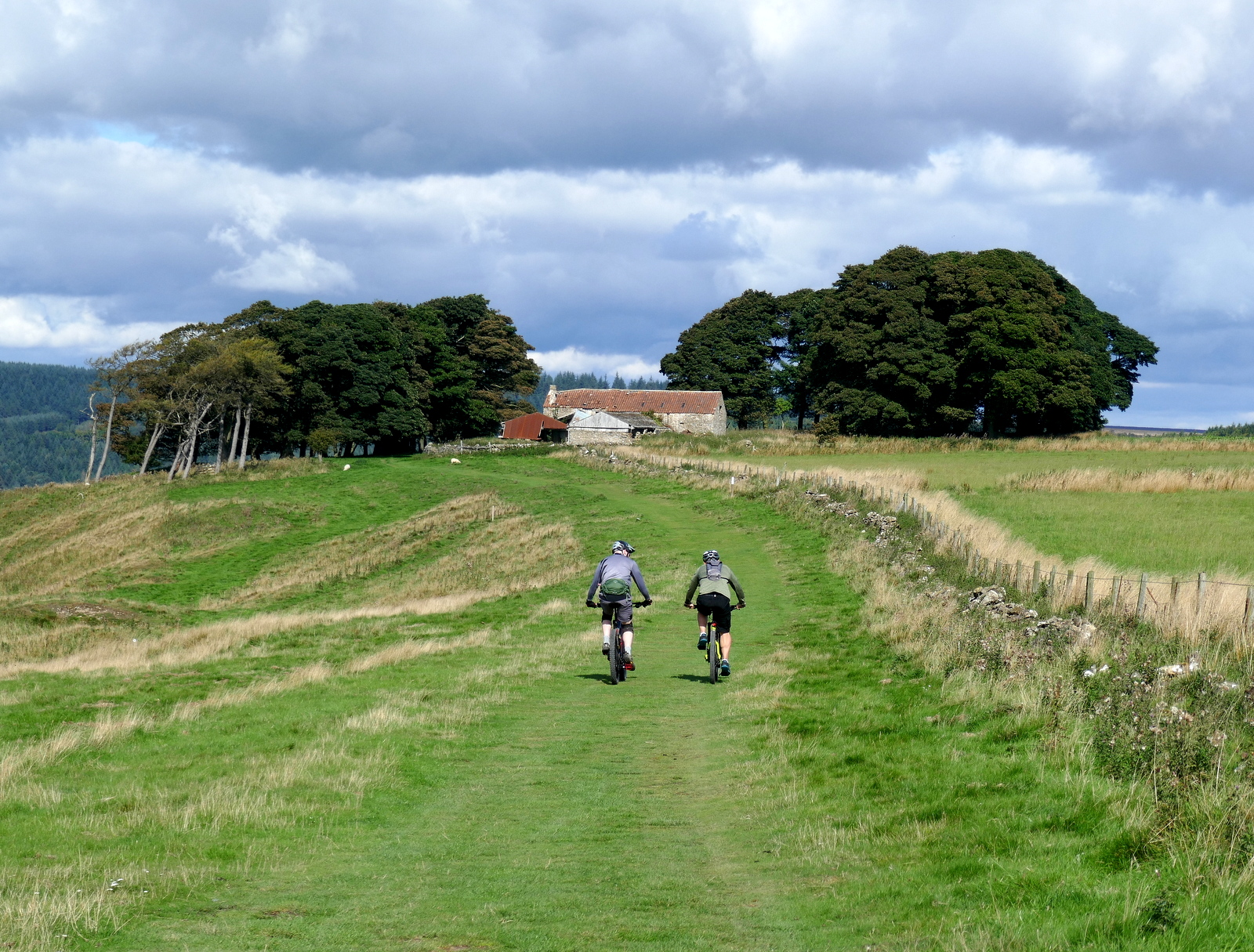
We left the B1257 Stokesley to Helmsley Road at the Hawnby turn off and parked at the roadside near to the white painted buildings of Murton Grange.
Today's walk from The Walker's Guide to the Hambleton Hills
View of Hawnby Hill from our start
Murton Grange Farm
Tom Scott Burns explains in his 'Walker's Guide to the Hambleton Hills' that the township of Murton was given to Byland Abbey by Hugh Malebisse in the 12th century. A grange was constructed by lay brothers and was basically a well organised farm with a small chapel.
We walked past the neat white buildings of the grange and after a short distance turned into Ox Pasture Lane. We followed the lane to the top of Deep Gill Wood whilst ahead of us trotted dozens of young pheasants, determined not to take to the air.
Turning into Ox Pasture Lane after passing Murton Grange
Ox Pasture Lane
Walking alongside Deep Gill Wood
We followed Ox Pasture Lane for nearly two miles, eventually leaving the woods at a farm gate and crossing fields to an old barn.
Walking towards the old barn
Passing to the left of the barn we turned to bear right at a sign and descended to Barnclose Farm where the path goes through the farm yard and turns right onto the farm track.
Bear right at the sign
Trees in autumn plumage
Greencliffe Hag Wood opposite us
We are buzzed by a light aircraft
Barnclose Farm below
Barnclose Farm
The old farmhouse, now a store
Stag horns
Leaving Barnclose Farm we had a steady climb on tarmac to reach Tylas Farm, which TSB tells us was built by the monks of Old Byland as a grange and tile house, hence its name.
We passed the farm and continued along the road to Oxendale until reaching a gate and a way-mark on our left, where we turned off the road and entered dying bracken to gradually descend to the River Rye.
The path now leads through the valley of Oxendale, the River Rye on the left. We followed a pleasant grassy track until we reached the river and our path became a boardwalk over areas that obviously suffer from flooding.
Fabulous colours in Ryedale
Turn off the road into fields....
... way mark almost hidden from view
Ryedale
Boardwalk, some slippy bits
Leave Lambert Hagg Wood at the old sign
We emerged onto tarmac and almost immediately crossed the river at Bow Bridge, originally built by the Cistercian monks of Rievaulx. A short walk on the road brought us to a sign pointing to our path across fields to Rievaulx Abbey. We left the road at a wooden Inn Way sign and soon the Abbey came into sight.
Bow Bridge
Old Yorkshire North Riding sign
Leave the road at the Inn Way sign
... and enter fields to walk to the abbey
Our route across the fields followed the traces of the old canal that the monks had built in the 11th century to carry stone for the Abbey from the nearby Penny Piece Quarry, so named because quarrymen were apparently paid a penny a day. The river was dammed here and water diverted into the canal.
As we walked through fields towards the abbey we were rewarded with a fine view of the ruins. Tom Scott Burns says that Rievaulx Abbey is undoubtedly a place to walk to, rather than from. He explains the name Rievaulx is from old French for Valley of the Rye. Under its third abbot, Aelred, the monastery had 640 men dependent on its Cistercian order.
Approaching Rievaulx Abbey
Clive stops to greet an old friend, we've seen this unusually coloured horse for the last few years
New roof, this was a bit of a ruin last time we passed by
The sun comes out for my photos of the abbey
Emerging into the village of Rievaulx we turned left onto the road to walk uphill to the Slipper Chapel of St Mary's. This was a place where pilgrims would remove their shoes and put on soft slippers or socks to enter the holy buildings of the Abbey. It was renovated early in the twentieth century. We were amazed to find it open to visitors, the first church we have found open on our hikes since last March.
St Mary's at Rievaulx
Good grief, it's open!
The altar window
Clive playing the organ. A bit discordant!
Window dedicated to Earl of Feversham
The story behind the wooden cross below
Wood from the Somme
Outside the church we noticed a large sun dial on the house opposite with the words "Lucem Demonstrat Umbra", meaning roughly "from shadow comes light".
Sun dial house opposite St Mary's
"From Shadow Comes Light"
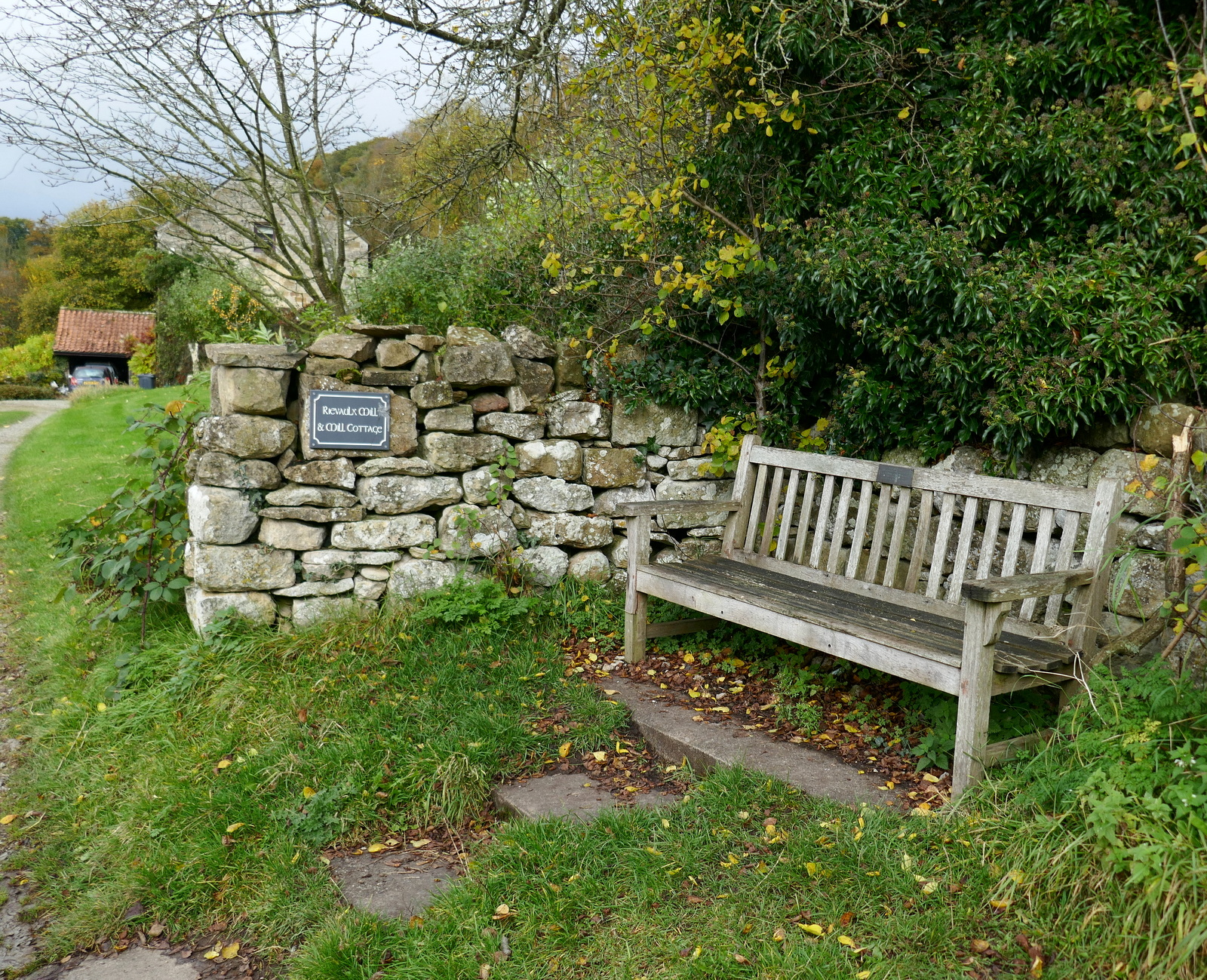
A few steps back downhill brought us to a bench which faced both the sun and the ruins and here we sat here to enjoy our coffee and scones. As we relaxed we watched a constant stream of walkers pass by and as we finished our coffee a couple waited next to us to take our bench for their lunch stop. It was the busiest we've ever seen Rievaulx.
Cottage in Rievaulx
Our lunch spot
After a leisurely break we packed our bags and set off once more, down through the village and past the Abbey ruins to Rievaulx Bridge. TSB tells how Wordsworth's sister, Dorothy, who, arriving here during a July afternoon, described how she "could have stayed in this solemn, quiet spot till evening without a thought of moving, but William was waiting for me."
TSB explains that the Abbey sits in a natural amphitheatre which was granted to the Cistercian monks by the Lord of Helmsley, and building began in 1132. Because of the Abbey's site between a hill and the River Rye the church faces North - South instead of the usual East - West. By 1200 there were 140 monks and 500 lay brothers but like nearby Byland Abbey, it was suppressed in 1538.
We walked past the Visitors Centre to reach Rievaulx Bridge which we crossed, following the road to pretty Ashberry Farm. Here our path turned behind the building and immediately started to climb Ashberry Hill.
Rievaulx Bridge
Lovely garden next to the bridge....
... belonging to Rievaulx Bridge House. Note white flood defence around front door
Ashberry Farm comes into view
Ashberry Farm. We approach the farm head on..
... but slip to the rear to climb Ashberry Hill
We climbed Ashberry Hill passing a well placed memorial bench with a beautiful view, worth remembering for our coffee stop next time. At one point a gap in the trees gave us a view of one of the Ionic Temples built above the abbey by a local squire in 1758.
View from the bench
Ionic temple folly
We resist the temptation to sit, just!
We followed the wooded path through Lambert Hagg Wood and left the wood on the same road that we had followed on our outward route, past Tylas Farm. This time we left the road just before reaching the farm, turning left onto a muddy track that runs along Birk Bank.
Entering Lambert Hagg Wood
Tylas Farm appears below
Leave the road to enter Birk Bank
As we walked along Birk Bank we heard the unmistakable bellowing calls of stags in the woods of Caydale, on the opposite side of the valley. Last time we walked here at this time of year we saw deer on the opposite side of the valley in a clearing, but search as we may we could see nothing of interest this year.
Birk Bank
As usual at this time of year, many pheasants about
Horses had messed up the track in the woods
Deer in Caydale Wood... last time!
A mile of walking along this woodland track took us to Caydale Mill whose roofs can be seen below, and just beyond the mill we reached the road and a ford where we washed the mud from our boots. Cars using this lane must drive through 100 yards of water, but walkers cross by a bridge and can avoid getting wet feet, rejoining the road at the other side of the ford.
Clive cleans his boots
Beyond the ford the lane becomes a very steep (1:4) climb for about half a mile, before eventually levelling out. After eight miles of walking this climb is a test for the legs! Eventually the white buildings of Murton Grange appeared in the distance and we were soon back at our cars.
Texel Ram
Injured eye, probably a 'butting' injury!
Murton Grange Farm re-appears in the distance
The end of the walk