Boltby to Gormire Lake and Whitestone Cliff
7 miles Very windy
Strong winds today as Storm Gareth passes over North Yorkshire. Tom Scott Burns visits Gormire Lake on two of his walks, from Kilburn and this one from Boltby.
We reached Boltby from the A19 Knayton turn off and drove right through the village and up a steep hill to a small designated car park at the side of the road.
We walked back down the road into Boltby and took the first left into a lane. Tom Scott Burns explains that Boltby is of great antiquity and is mentioned in the Domesday Book as the property of Hugh, son of Baldric.
 |
| Today's walk from The Walker's Guide to the Hambleton Hills |
 |
| Walking back to Boltby |
 |
| The Old School House, Boltby |
 |
| Weather vane in Boltby |
We passed the last of the houses and soon our lane petered out and we went through a gate to follow a faint track over the shoulder of Little Moor, where we said hello to the first of many hikers we saw today, this group sitting among the trees having an early snack.
 |
| The lane ends at this ford |
 |
| Texel Toughs, rams in a nearby field |
 |
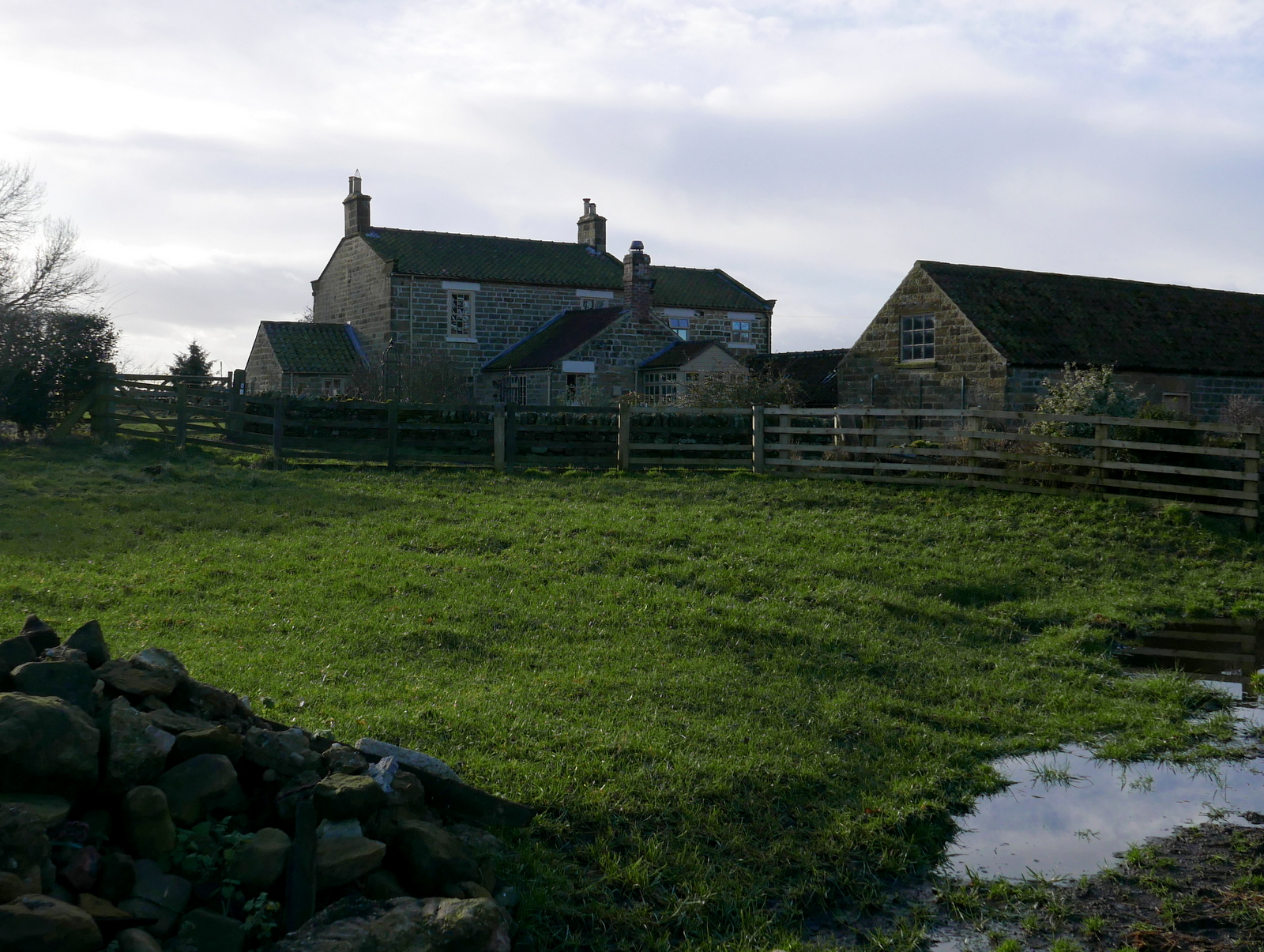
| Looking back to Boltby |
 |
| Hikers ahead |
 |
| Greendale Farm |
We rarely see other hikers when on a TSB walk but today we must have passed eight groups. After circumnavigating Cow Pasture Wood we dropped down to Greendale Farm and followed the path around the side of a hill to reach Tang Hall Farm where we turned left just before the buildings.
 |
| Greendale Farm |
 |
| Tang Hall Farm |
Very soon we were on a bridleway, once an old coach road, which crosses Huggon Howl to Southwoods Hall. Here we found we were kept to the bridleway by new fencing which stretched right across Huggon Howl, past the Hall to reach the trees at Midge Hole Gate. Work was ongoing and we chatted to a workman who explained the double lines of fencing would soon enclose new hedging.
We walked past the hall, hidden from view behind its own high hedge, and as we reached Midge Hole Gate were pleased to see a small herd of deer grazing. We watched them for a while, (sadly no zoom on my camera) and then as we opened the gate hoping to get nearer, we were spotted and the deer ran off into the trees.
We turned into South Woods on a forest path which we followed to reach Southwoods Lodge, sporting a new coat of paint and looking much smarter than on our last visit.
On reaching the lodge we followed the track straight ahead through Garbutt Wood, eventually reaching Gormire Lake where we were startled by a voice saying "Now then." Almost hidden in the bushes were bivouacs and a black hammock, which is where the voice came from although its owner was invisible to the eye.
There were three 'rough campers' and we chatted to them about what fish they hoped to catch before moving on to our usual spot by the lake bank, where we sat in the sun to enjoy our coffee and scones.
Storm Gareth was blowing a gale up here but the wind was generally to our side, pushing us away from the cliff edge.
We now had a three mile walk along the ridge, passing the remains of several tumuli to our right and with fine views to our left over Thirlby and then Boltby.
We walked past the hall, hidden from view behind its own high hedge, and as we reached Midge Hole Gate were pleased to see a small herd of deer grazing. We watched them for a while, (sadly no zoom on my camera) and then as we opened the gate hoping to get nearer, we were spotted and the deer ran off into the trees.
 |
| We are kept to the bridleway |
 |
| Southwoods Hall |
 |
| New fencing all the way across Huggon Howl |
 |
| Fish pond in front of Southwoods Hall |
 |
| Deer grazing |
 |
| We're spotted and they're off! |
We turned into South Woods on a forest path which we followed to reach Southwoods Lodge, sporting a new coat of paint and looking much smarter than on our last visit.
 |
| In to South Woods |
 |
| Southwoods Lodge |
On reaching the lodge we followed the track straight ahead through Garbutt Wood, eventually reaching Gormire Lake where we were startled by a voice saying "Now then." Almost hidden in the bushes were bivouacs and a black hammock, which is where the voice came from although its owner was invisible to the eye.
There were three 'rough campers' and we chatted to them about what fish they hoped to catch before moving on to our usual spot by the lake bank, where we sat in the sun to enjoy our coffee and scones.
 |
| Walking through Garbutt Wood |
 |
| Gormire ahead! |
 |
| "Now then!" There's someone in that hammock.. |
 |
| Hoping for a catch |
 |
| Our time in the sun |
 |
| The view across Gormire |
There are two terraces around Gormire and TSB explains that these were once shorelines when the lake was much deeper. Its is often described as bottomless but is actually about 27 feet deep in the centre and covers about twenty six acres. Tradition has it that a town stood here which was destroyed in an earthquake, but the lake is actually the result of a glacial overflow channel being blocked by a landslip, hence its position up a hillside. No streams flow from it and its waters are mainly supplied by rain and diminish with evaporation. A major landslip happened here on the 25th March 1755 which was described by Rev John Wesley as 'like many cannons or rolling thunder'.
Finally it was time to go and leaving the lake we climbed straight up through Garbutt Wood to reach Sutton Brow. This is a steep half mile diagonally up the side of the bank and we were much warmer by the time we reached the top. From here there is a fine view back to Gormire Lake and to the left over towards Roulston Scar. After catching our breath we set off past Whitestone Cliff, still looking down at the lake from various vantage points.
Storm Gareth was blowing a gale up here but the wind was generally to our side, pushing us away from the cliff edge.
 |
| A steep climb after coffee |
 |
| Hood Hill from our climb |
 |
| Not far now... |
 |
| Made it! |
 |
| Worth the climb |
 |
| Good job we're being blown away from the edge.. |
We now had a three mile walk along the ridge, passing the remains of several tumuli to our right and with fine views to our left over Thirlby and then Boltby.
 |
 |
| Whitestone Cliff |
 |
| Thirlby |
Eventually we passed by the remains of an old hill fort and quarry and reached the derelict High Barn where we left the ridge at a sign, turning left to descend towards Boltby.


 |
| Boltby |
Tom Scott Burns explains that the fort originally had a D shaped rampart enclosing three acres. Gold earrings from the early Bronze Age have been unearthed, along with pottery from an earlier culture, probably Neolithic.
A steep downhill took us past Hesketh Grange Farm, over a couple of bridges and then steeply back uphill, towards Boltby and the car park.
 |
| Quarry and fort |
 |
| You can tell you're on National Trust land by the plethora of signs |
 |
| Approaching the old barn |
 |
| Turn left downhill at the barn |
A steep downhill took us past Hesketh Grange Farm, over a couple of bridges and then steeply back uphill, towards Boltby and the car park.
 |
| A steep descent |
 |
| Looking back towards Boltby Scar, the trees on the horizon are at the old barn |
 |
| The end of the walk |


