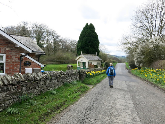
"There must be dales in Paradise
Which you and I will find.."
Showing posts with label "white horse". Show all posts

Friday 12 January 2018


Kilburn White Horse Circular Walk


   5.5 miles               Damp and misty


Tom Scott Burns suggests parking at the pay and display car park at the information centre at the top of Sutton Bank.  Alternatively there is a free car park just below the White Horse on Low Town Bank Road, and this gives a better balance to the walk, with Gormire being reached at the half way point.  That is where we parked, but looking up the White Horse was hidden in mist.


Today's walk from The Walker's Guide to the Hambleton Hills


From the car park we crossed the road and joined a track that follows the road steeply downhill and was very muddy underfoot.  At the bottom of the hill the track rejoins the road where we crossed over and went through a gate with a footpath sign.


Cross the road to start the descent through trees

Our path runs parallel to the road

Wet and muddy underfoot


We followed this farm track through the charmingly named forestry plantation of Happy Valley but any views up to the cliffs of Roulston Scar on our right were obscured by mist.  


Happy Valley Plantation


We leave Happy Valley Plantation and join fields

Hood Farm appears over the fields

Eventually we came to a stile and way mark on our right.  We left the trees and our path entered fields which were slippery with mud. Progress was tricky as we headed towards Hood Farm, directly ahead.

The buildings of Hood Farm were surrounded by deep mud and here we had a problem getting through, without sinking knee deep. Looking at the large farm building we saw that it appeared unoccupied and a couple of windows have been broken.  There were plenty of animals around however and the farm looked busy.


Hood Farm

The right of way takes us through the mud


The farm appears unoccupied

It was very bad underfoot and we were relieved to reach the tarmac of the farm track which we followed to the A170.

Walking along the farm track we saw a neatly tended grave and memorial stone and next to it a smaller plot, marked with a horseshoe, which we presume must belong to a much missed pet.


Boots essential today!


The A170 was busy as always and we walked along it for a hundred yards or so to the entrance to High Cleaves Farm, but almost immediately turned right into a field track to the little valley of Butter Dale, which TSB says was cut by last the Ice Age.


Entrance to High Cleaves Farm

High Cleaves Farm

Crossing Butter Dale

Suffolk sheep at High Cleaves Farm


Following the footpath over a stile a sharp climb took us to the first lake, at Gormire Rigg.  At the end of this lake we turned right and soon reached the waters of Gormire.


The waters of Gormire Rigg, the first lake

Leaving Butter Dale


Arriving at Gormire Lake

We followed the lake round its southern shore and came to a perfectly placed bench made from railway sleepers, an ideal spot for coffee and scones.  On the far side of the lake were a couple of swans but they soon disappeared from view as the mist came down even further.


Our coffee spot...

The mist comes down

Coffee finished we continued around the lake and suddenly saw a flash of colour in the dense trees to our right.  We moved cautiously closer and were delighted to see a Golden Pheasant.  It was tricky to photograph in the gloom, but what a treat!  There are only about 100 breeding pairs in the country and they are notoriously secretive.  For more about the Golden Pheasant click here:


A flash of colour in the gloom


What's that?!

The pheasant refuses to show his best side


Off he goes...


We now faced the long and very steep climb to the top of Whitestone Cliff.  As we climbed the mist disappeared and within ten minutes we had fine views. After twenty minutes we reached the top and turned right on the path, signposted Sutton Bank.  We now had a ridge walk of about 1.5 miles along the top of the escarpment and in the clear skies were now able to enjoy good views into the Vale of Mowbray. 


The mist rises...

... and so do we.  The steep climb of Whitestone Cliff


Nearly at the top, Hood Hill to the right

TSB explains in The Walker's Guide to the Hambleton Hills that during the last Ice Age glacial sheets, unable to override the Cleveland Hills, swept round both sides of the moors carving out the great cliffs at Gormire and Roulston Scar.   

Opposite us we could see the cone shaped summit of Hood Hill where a number of barrows and earthworks are located around the summit.


On top at last

National Trust land so lots of 'information'

Gormire below


We passed by the Information Centre and crossed the A170 again, continuing along the path which apparently was known as Thieves' Highway in olden days.  This was because it was supposed to be a getaway route for robbers who had plundered travellers on the Hambleton road.


The Thieves Highway -  ridge walk

Memorial stone just below the ridge


Gliders

Yorkshire Gliding Club

Hood Farm from the ridge

We walked past the Yorkshire Gliding Club and then past Roulston Scar to reach the top of the White Horse.  Our car lay below and we descended steps alongside the Horse to reach it.  The White Horse no longer appears white and looks sadly in need of renovation.


Grey stones of the Horse's head from the ridge path, our car park below

Starting our descent

The horse from the car park, could do with a lick of whitewash


A short drive took us to the Forresters Arms in Kilburn, which is open all day, and we sat by a welcoming log fire to enjoy our post-walk pint.


Friday 31 March 2017


Coxwold and Beacon Banks from Kilburn


10.5 miles              Quite warm and fair


We have walked this route once before but didn't have time to look round Coxwold's striking church, where Laurence Sterne, the author, was the parish priest.

We approached Kilburn from Thirsk and parked in the large car park next to the Forresters Arms on the High Street.

Today's walk from The Walker's Guide to the Hambleton Hills

Our car park for the day

Part of today's walk is off our North Yorks OS map but the appropriate map can be downloaded from here.

Leaving the car park by a gate next to the war memorial we approached St Mary's Church and had a brief look around.  The mouse symbol of Robert Thomson is carved throughout the church and it is fun to spot, carved often where you least expect to see it on pews, rails, boards etc.

Thomson was a resident of Kilburn and his first commission was from the parish priest at Coxwold, a crucifix, and he is said to have taken up the mouse symbol when he considered the expression 'poor as a Church mouse.'

St Mary's Church, Kilburn

Church window

Norman grave slab

We can see you!

Cryptic verse at St Mary's

Leaving the church we soon reached a road that took us uphill to High Kilburn where attractive houses surround a village green.  Tom Scott Burns tells us that there once was a duck pond in the village green but all that remains of that is the old village pump.


Old gate in High Kilburn

Walking through the green at High Kilburn

The village pump

Dog and pheasant weather-vane

We spotted a couple of new (to us) weather vanes today, the first above, and I must remember to add them to our collection. (see here)

As we approached the weathered barn (as shown on above map) we saw some very new lambs, barely able to stand, of a breed of sheep new to us with ginger coloured faces.


We pressed on and soon reached Fox Folly Farm where last year we saw a tiny calf, which the farmer had explained was the survivor of a twin birth.  Today, in a field by itself, was a young brown heifer and as we were wondering if this was the adult calf, the farmer appeared so we asked him.  No, that calf was a male so went to market and this heifer is alone in the field because it's "shy to the trough".  I asked what he meant and he explained  that it would stand back and let all the other cows feed and would therefore get no food.  The only way to stop it from starving was to keep it alone.


Weather vane at 'weathered barn'

Walking towards Fox Folly Farm

Fox Folly Farm

Last year's baby

Shy and "Shy to the trough"

Leaving the farmer we walked along the lane for a couple of hundred yards and turned into a field after which we followed field paths, sometimes very muddy, until we reached the village of Coxwold.


Into fields for the next mile

Heavy going

Unusual bridge stile

New sign

Looking back to the White Horse, Fox Folly Farm in the foreground

Approaching Coxwold High Street

We walked along the high street until we reached Shandy Hall, the home of Laurence Sterne, the author of Tristram Shandy, and then walked back on the other side to the church, which seems enormous for the size of the village.


Coxwold High Streeet

Laurence Stern's house


Shandy Hall

St Michael's Church has an impressive octagonal tower and is a 15th century building, although built on a Norman church.  We found it unlocked and went inside to see some fine windows, which commemorated the Wombwell family, in particular Sir George Orby Wombwell, a survivor of the Charge of the Light Brigade.   There was also a fine stone carving dedicated to the Fauconberg family of Yarm, near our neck of the woods.

St Michael's Church, Coxwold

Looking towards the altar

A monument to Laurence Sterne

Medieval figurines in St Michael's Church


Statue of the Fauconbergs of Yarm


Looking towards the organ

Wombwell's windows


We went outside and read some of the old gravestones before returning to the High Street and walking back to the crossroads where we turned right to commence a steady climb out of the village.  After half a mile we entered a field at a wooden sign and continued to climb following field paths until we reached a stile and High Leys Farm.


We wondered why some 'N's are reversed.  Dyslexic stone mason?


The Old Almshouse, Coxwold


Passing the old station, now a house with signal box still containing signs and lamps


Leave the road here

Climbing, Coxwold in the distance


Fancy hen at High Leys Farm
At the farm we turned right onto the farm track for 100 yards or so, before returning to fields at a sign, and following the ridge of Beacon Bank Wood.  After half a mile or so we came to a tree trunk, well positioned to sit and look down and across to the White Horse and an ideal place for coffee and scones.

Leave the farm track at this sign

Our view from our coffee stop

Our seat
After a relaxing break we set off once more along the ridge and soon reached the alpaca farm near Lists House.  A short walk brought us to the village of Husthwaite and its church, St Nicholas, which we decided we would explore on our next walk on this route.  

Looking down on Husthwaite as we descend from Beacon Bank

Alpacas


Craft sign in Husthwaite

Another 'new' weather vane

Early clematis in Husthwaite

Wesleyan Chapel and magnolia

Old houses in Husthwaite

Church weather-vane

St Nicholas' Church

Topiary in Husthwaite

After Husthwaite we passed through the remains of an old railway embankment and entered Ings Lane, which we followed north for a mile.  We walked by a tractor garage and shop, with some big machines, one of which was being tested up and down Ings Lane, passing and re-passing us, the driver giving us a cheery wave each time.  We rejoined the road at Carlton Husthwaite and walked through the village, noting its pretty houses, one of which was very striking, a timber framed thatched house.


Ings Lane

"Eleven wheels on my wagon..."

Tractors, old and new

Lots of Spring lambs today

Blacksmith's forge at Carlton Husthwaite

Forge decoration

Timber framed house in Carlton Husthwaite
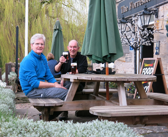
We left Carlton Husthwaite turning right into Croft Lane then left to join Common Lane.  A walk through fields and muddy lanes eventually brought us back to Kilburn and the Forresters Arms, where we sat outside and enjoyed a pint while discussing the day's sights.

Returning to Kilburn


Our path is clearly laid out

This bird scarer gave us a shock

Nearly back

In a tree near Kilburn!

Old horse is pleased to see Clive... and his apple


Only his mother could love him

Walking through Kilburn

The Hiker's Reward
Tom Scott Burn's walking books are filled with information about our area but are often short on directions for the walk itself.  I have now got an app for my phone that allows me to record our walks and upload them as .gpx files, so starting today just email me if you want a GPS track and I'll be happy to forward it.