Limekiln House and the Drove Road from Kepwick
5.5 miles Fine but cool
With some improvement to my foot injury I decided the time was right to test it properly with a short Tom Scott Burns walk.
We approached Kepwick from the A19 via Leake Lane and parked in a small free car park next door to the old school, now converted to a house.
a.jpg) |
| Today's route from The Walker's Guide to the Hambleton Hills |
 |
| Old house with carved bear in the doorway |
 |
| The Old Joiner's Shop |
 |
| Houses in Kepwick |
 |
| A row of miners' cottages |
Tom Scott Burns suggests that Kepwick is derived from the Scandinavian Kaeppi and Vik, producing Kaeppivik which means 'a nook in the hills'. It's mentioned in the Domesday Book as Capuic.
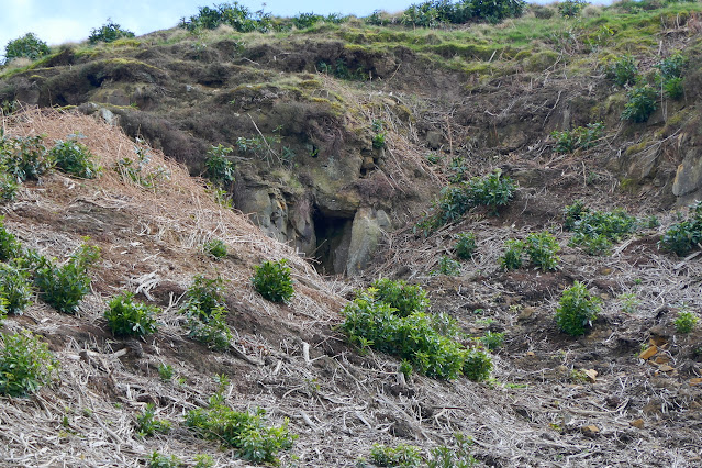
In Victorian times it was noted for its lime and sandstone quarries and a railway ran from Kepwick to kilns on the Yarm to Thirsk turnpike road until 1893.
We turned left out of the car park and walked east through the village, admiring some of the pretty cottages scattered along the main street, before coming to the main gates of Kepwick Hall.
 |
| Rams enjoying the Spring sunshine |
 |
| The gatehouse at Kepwick Hall |
 |
| The best view we can get of Kepwick Hall |
We walked up to the gatehouse of Kepwick Hall to see what we could of the hall and then returned to the Kepwick to Silton road and followed it to its junction with Bridge Beck Lane.
Here we turned right into a footpath and farm track to Nab Farm, walking past a little hill called The Nab, with French Hill wood on our left.
 |
| Nab Farm |
 |
| New arrivals |
 |
| The farmer tells us why the cattle are still indoors |
It was interesting to chat to the farmer and as we left her she warned us to keep high to the left as the ground was so boggy.
Leaving Nab Farm behind, we paused to look across the valley, over Bridge Beck towards Whitestone Scar and Kepwick Moor on the horizon. We could see our path leading all the way to the high moor.
 |
| Whitestone Scar ahead, Kepwick Moor to the right |
 |
| Bridge Beck |
 |
| "How's yer foot?" |
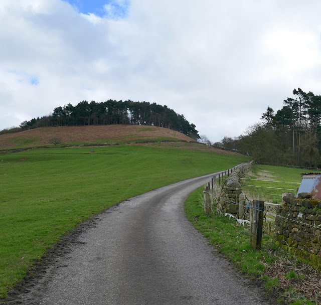
After the beck we came to the ruins of an old lime kiln and our path climbed quickly away from it, following a nice green path alongside a dry stone wall. We followed this green path all the way up to Kepwick Moor where it joins the old drovers' road.
 |
| The moor gate |
 |
| Lime kiln |
 |
| Whitestone Scar |
 |
| Looking back down our path to Nab Farm |
 |
| Kepwick Quarries and workings |
 |
| The green path climbs for a mile to reach the Hambleton Drove Road |
Reaching the top we came to the remains of Limekiln House but today all that can be seen of the building are a few stony outcrops and a marker stone. Nearby is a small cross dedicated to Bert 2005 RIP who we presume was a dog.
 |
| A recently added memorial |
We walked along the old Drovers' road for nearly two miles, stopping just before we reached the remains of Steeple Cross to shelter against the wall for our coffee and scones.
 |
| A lapwing watches us pass |
 |
| Hambleton Drove Road |
 |
| Old marker stone |
 |
| Coffee on the Drove Road |
Refreshed, we set off again and soon reached the remains of Steeple Cross. TSB tells us that Steeple Cross was referred to as Stepingecross in documents dated 1290 and was probably derived from the old English 'steapinga' - 'dweller on the slope', so making 'crossroads of the hill-dwellers'. All round this area are Bronze Age earthworks.
 |
| Bronze Age earthworks |
 |
| The remains of Steeple Cross |
 |
| Throught the gate and turn right, just after the cross |
We turned right through a forestry gate at Steeple Cross and followed the track right where it splits in two, towards Gallow Hill. We were keeping an eye open for Friars Cross which is usually hard to spot, hidden in bracken and undergrowth. Suddenly we emerged onto a large area of devastation caused by forestry working. This work began exactly at Friars Cross, now clearly revealed to the passer-by.
We reached and descended Atlay Bank which was once thick with rhododendrons but a couple of years ago they were cut back very hard and are just staring to recover. Bikes use the track here and have made it very muddy in places.
We joined the road at a gate and walked back to the car park, past the small privately owned chapel which unfortunately is locked to the public but has a very interesting history.
Originally it was a mission room but it was rebuilt as a chapel by the Warner family whose only son was shot down during WWI, whilst serving with the RFC against Baron Richthofen's flying circus. Interestingly, his late sister was the model for one of James Herriot's characters, Mrs Pumphrey, who owned the spoilt pekingese dog Trickey Woo. James Herriot lived in nearby Thirlby and no doubt attended Kepwick Hall to treat their animals.
 |
| We join the road at Kepwick |
 |
| Private chapel |
Although quite short there is plenty to see on this walk and we were soon discussing its merits over a pint, although the lack of a pub in Kepwick means a short drive to accomplish this. More importantly for me, my injured foot appears to have survived the walk without further damage.
PS Four days later. My foot has been troublesome since the walk. Perhaps it was just a step too far, too soon!
a.jpg)


