Arden Great Moor Circular
10.5 miles Fine and dry
Fine weather today so we decided to walk this longer route from The Walker's Guide to the Hambleton Hills, which can be started either at the car park at Square Corner on the Osmotherley to Hawnby road, or a small parking area opposite Arden Hall outside Hawnby, which TSB recommends. We decided the former was the most convenient for us and leaving the car started to climb the track up Black Hambleton.
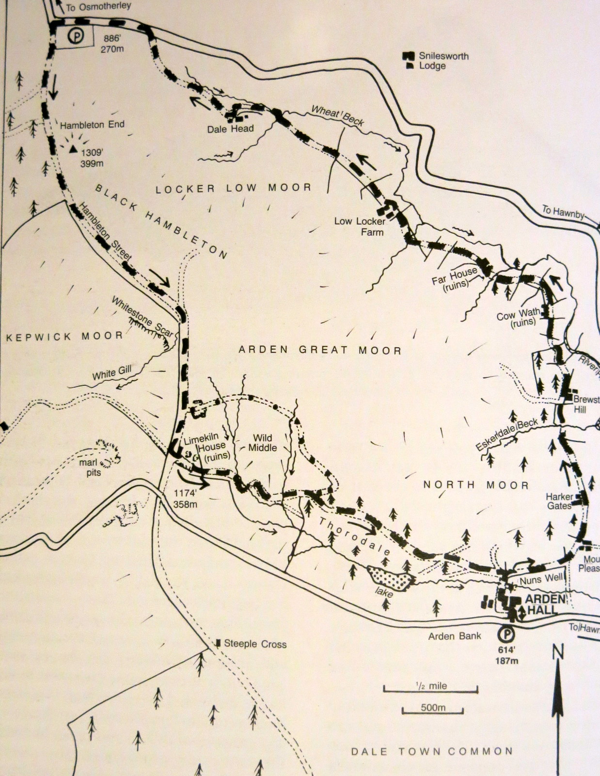 |
| Today's walk from The Walker's Guide to the Hambleton Hills |
 |
| The view from Square Corner |

 |
| Climbing Black Hambleton |
As we climbed we looked down onto what was formerly Silton Forest, which we walked through as we walked to Over Silton from this point last year. We were surprised to see the forest is gone, presumably to feed the bio-furnace at Teesside's power station, like so many of the conifer trees in the area. Tree stumps and debris stretch into the distance towards Silton.
 |
| Silton Forest is no more |

We joined the drovers' road named Hambleton Street and turned left onto a green track at the ruins of Limekiln House. These ruins are found opposite a field gate on the right of the track, shortly after passing some old quarries on the left. A little cross, dedicated to 'Bert', that we have seen on previous walks still stands in the ruins of Limekiln House which was used as a drovers' inn in the 17th and 18th centuries. Tom Scott Burns tells how Scottish and Northumbrian drovers trailed their herds south to the markets at Malton and York, travelling around 10 miles per day. They would halt at inns while the herds were put into enclosures called 'stances'. TSB describes how Luke Kendall, whose family had the last licence in 1891, related a story to James Herriot. On one particular night, tired out by the demands of hard drinking drovers, Luke had deposited two large buckets of ale onto the floor and told the drovers he was off to bed and to help themselves!
The grass track cut across the moors to a gate where we had a 'surprise view' into Thorodale past a dry stone wall. We descended into the steep dale, the first time either of us had ever visited it.
 |
| Bert's memorial at Limekiln House |
 |
| The green lane to Thorodale |
 |
| Surprise view at Thorodale |
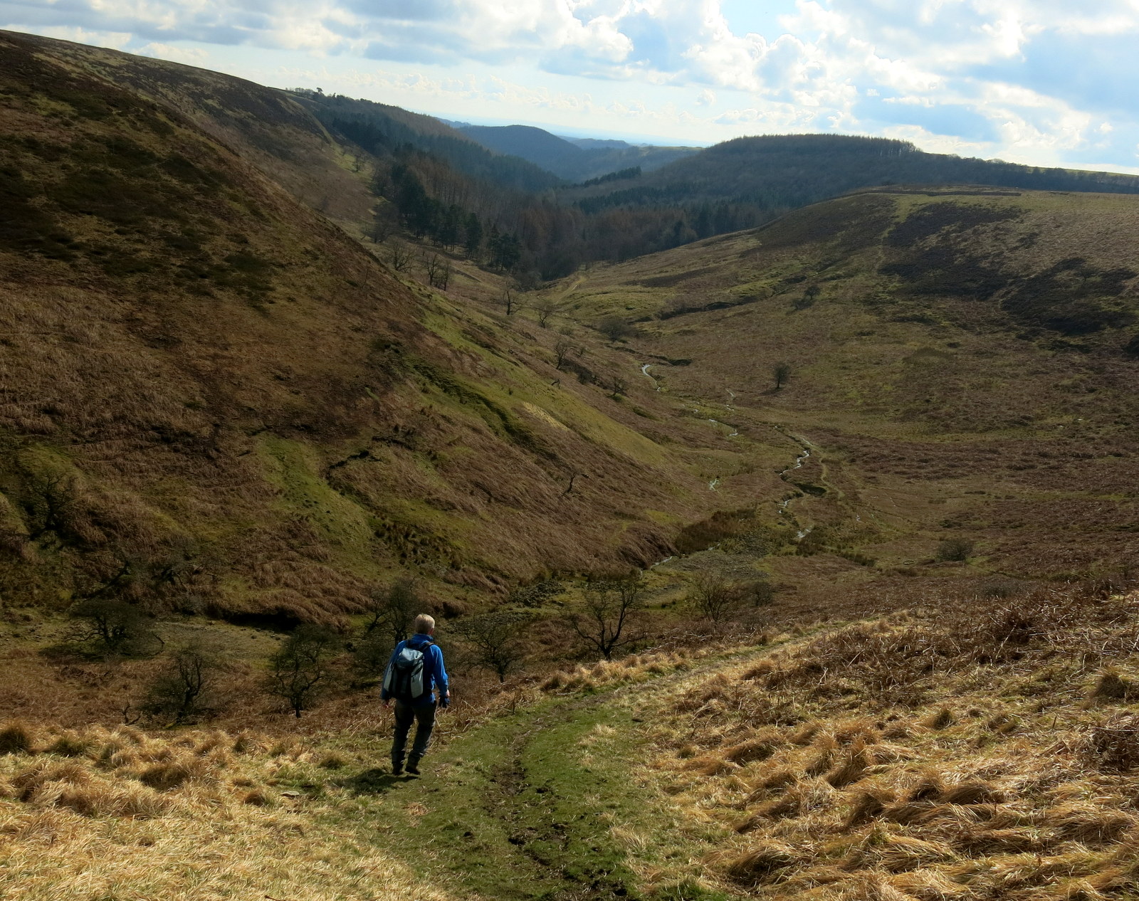 |
| Descending into Thorodale |
 |
| Thorodale Beck |
Our path led into woods and we walked with the occasional glimpse of Arden Lake through the trees until we emerged onto a meadow sloping down towards Arden Hall. The sun was shining and this seemed a nice spot for coffee and scones, and so it was.
 |
| Tracks through the woods were muddy for a while |

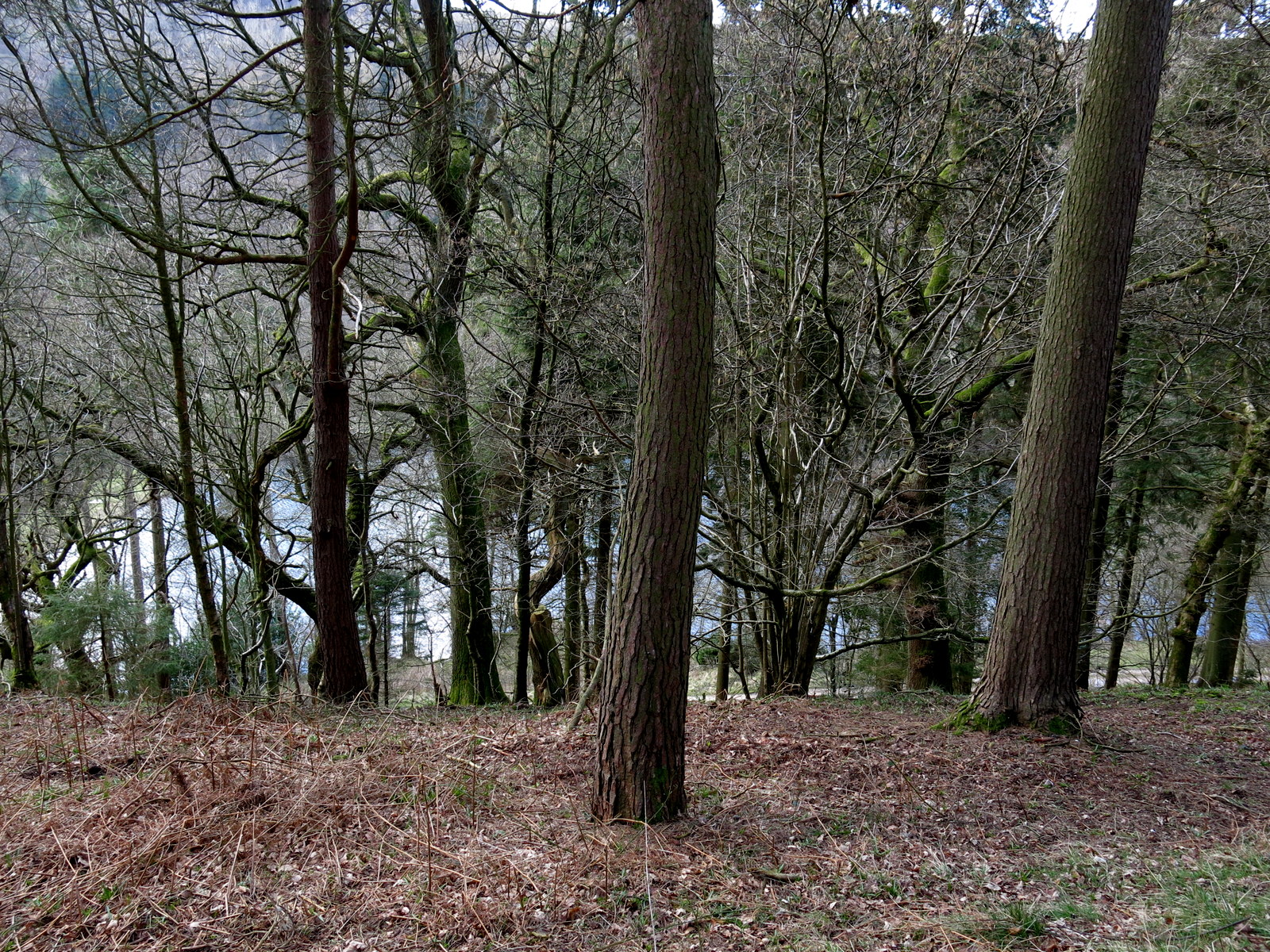 |
| Occasional glimpses of Arden Lake through the trees |
 |
| We stopped here for coffee and scones |
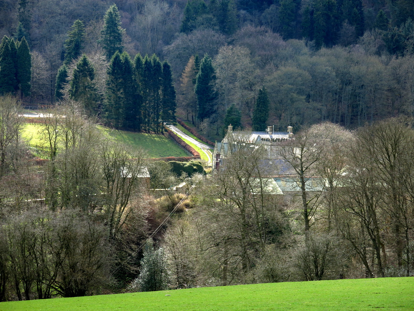
A short walk from our refreshment stop brought us to a footpath on the left which would be the way from the car park opposite Arden Hall and we decided to divert from our walk to follow this track to see the Hall. TSB says that Arden comes from arn, an eagle, and doen, a deep valley, ie the valley of the eagle. The hall was built on the site of a Benedictine nunnery that was founded in 1148. One of the bedrooms in the hall is called Queen Mary's Room, where the persecuted queen is said to have sheltered.
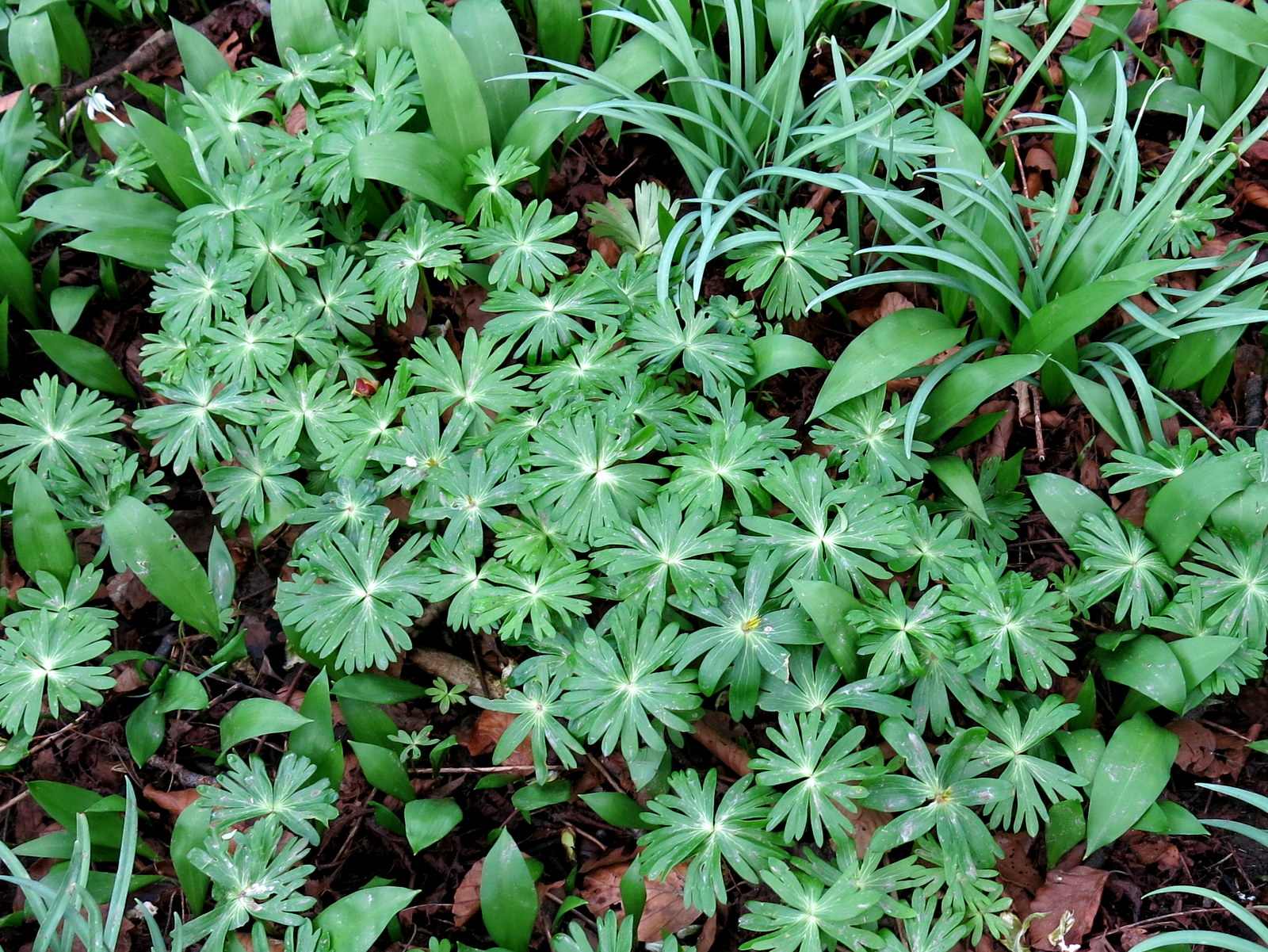
We wandered round the hall and grounds where we saw the palm shaped leaves of aconites, (wolfsbane) the poisonous herb which TSB says was planted by the nuns centuries ago.
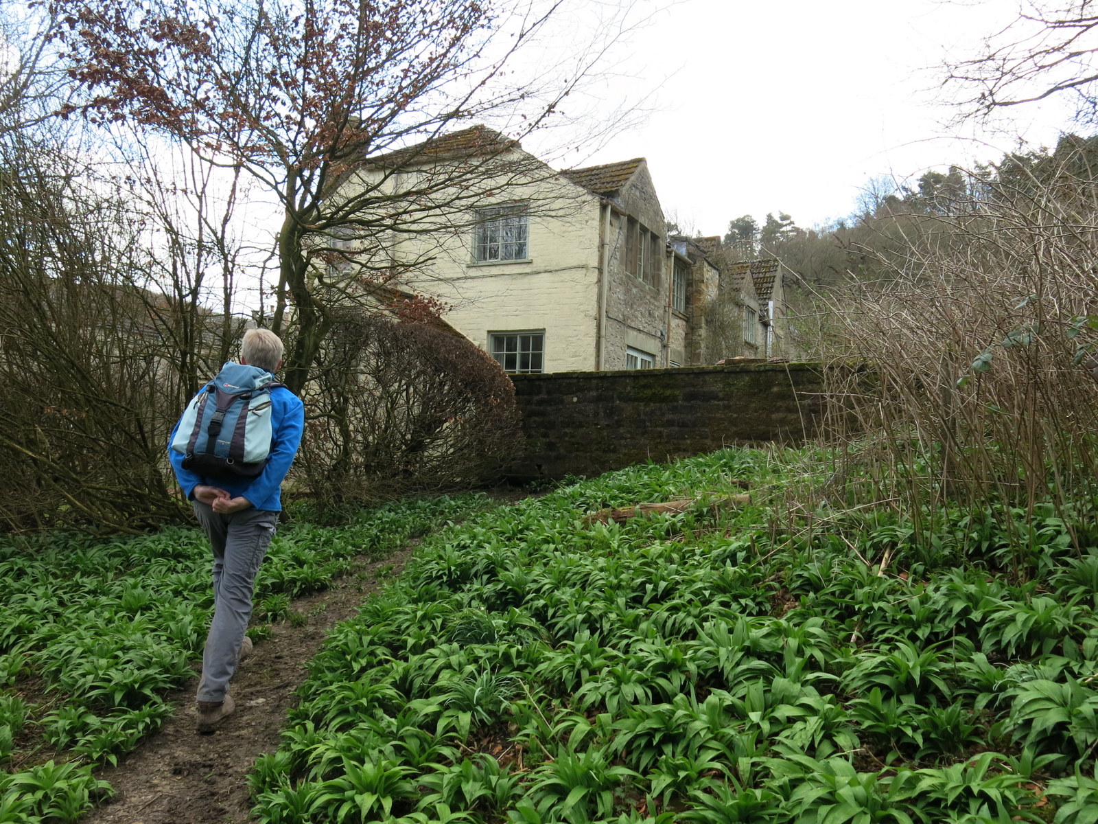 |
| Approaching Arden Hall outbuildings |
 |
| The palm shaped leaves of Wolfsbane |
 |
| First glimpse of the hall |
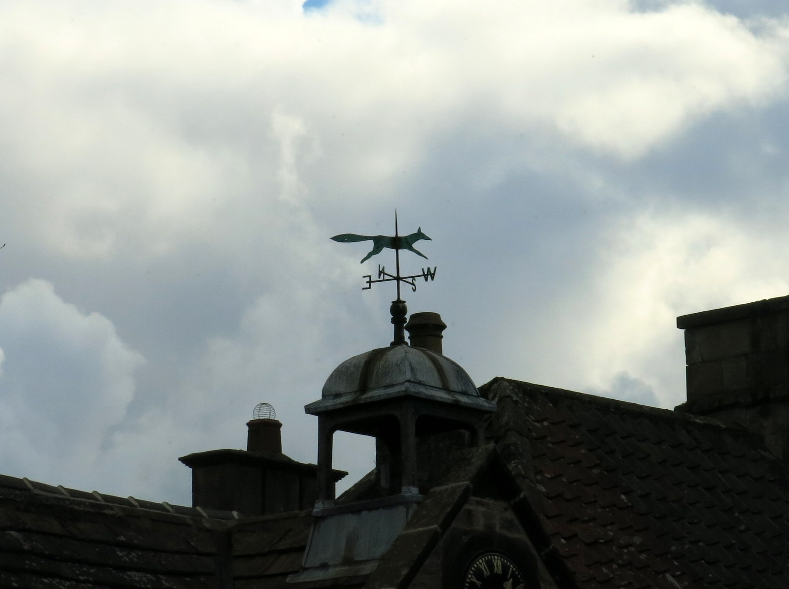 |
| Fox weather vane |


 |
| The approach to Arden Hall |
We returned to our path passing to the left of the building where we saw a bench with a nice view at the rear of the hall. Tom Scott Burns mentions this bench, which is a memorial to three hikers who were sadly killed in a car crash in 1991 on their way home from a day's tramping on the hills. Fresh flowers had been left on the bench.
 |
| Memorial bench.... |
 |
| ... to three fellow hikers, killed in an accident in 1991 |
 |
| We get a noisy goodbye from Arden Hall |
We reached our earlier path and turned right into fields towards Mount Pleasant Farm. Our route now followed the River Rye and we walked above the river, but below the hills of Arden Great Moor. In the distance we could see the twin humps of Hawnby Hill and Easterside Hill. First we passed a pretty cottage called Harker Gates and then we passed by a couple of abandoned farms at Breswter Hill and the ruins of Cow Wath.
 |
| A ram tucks in |
 |
| Looking back to Arden Hall |
 |
| Mount Pleasant Farm |
 |
| Cattle at Mount Pleasant Farm |
 |
| Suffolk sheep |
 |
| Harker Gates |
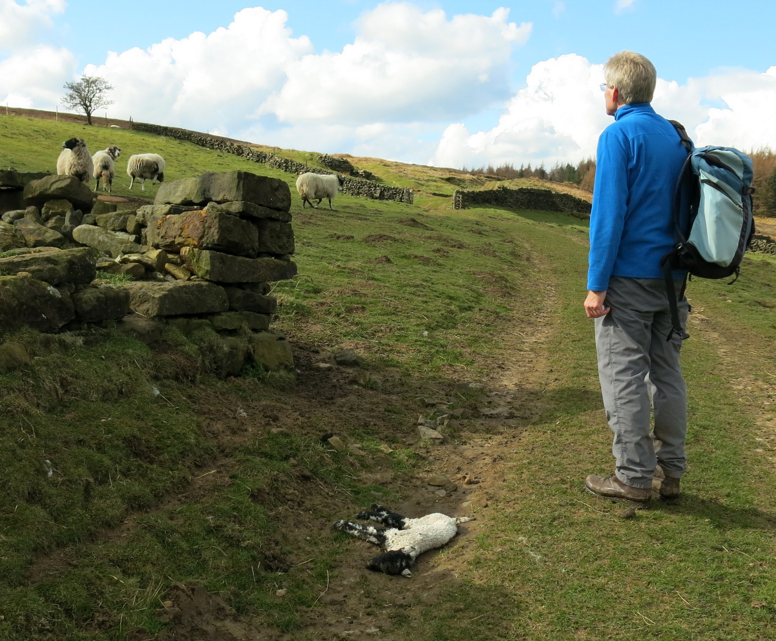
Our path here was very wet and muddy and often faint and as we were constantly walking across sloping fields the angle was not very comfortable. Sadly, along the next mile or two we came across four dead lambs and a dead sheep, all recently deceased and the lambs, we suspect, being victims of last night's below zero temperatures.
 |
| Brewster Hill |
 |
| Crossing Eskerdale Beck |
 |
| The first of four dead lambs we saw today |
 |
| Unusually level bit of path alongside Great Arden Moor |

 |
| Another casualty... |
 |
| ... and another |
We continued to follow the River Rye towards its source at Dale Head, passing the ruins of Cow Wath and then more ruins at Far House. Here we saw three dead moles over a two hundred yard stretch and wondered why they come above ground to die. I remember once reading a poem that moles do come to the surface to die and live their lives exactly the opposite to ourselves - "heaven is their vault."
 |
| Cow Wath |


 |
| This might have been a mistake! |
 |
| What killed the moles? |
Progress was quite slow through these muddy field paths where we came across two more dead lambs, before reaching Low Locker Farm and turning left to climb onto Locker Low Moor.
 |
| Moor Gate |
 |
| Looking back to Easterside Hill and Hawnby Hill |
 |
| Slow walking through muddy tracks |
 |
| Quad bike bridge |
 |
| Approaching Far House ruins |
 |
| Far House |
 |
| Another casualty... |
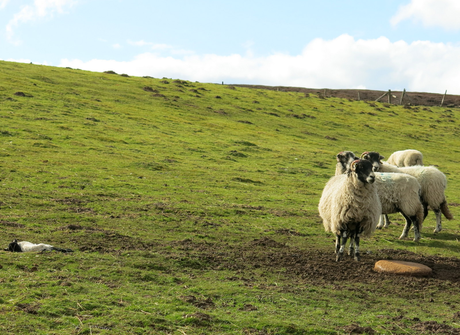 |
| ... and another |
From Low Locker Farm we continued across the moor to Dale Head, passing the ruins of two lime kilns and eventually reaching the Osmotherley to Hawnby road. We turned left here and followed the road to the car park at Square Corner.
 |
| Ruined lime kiln |
 |
| Last half mile is on the road.. |
TSB says that today's walk was 10.5 miles but my pedometer showed it to be a mile longer, although we may have detoured slightly. This was the first time we have done this circular walk but we enjoyed it and found it varied, part moor and part field and not too much of either!