Old Byland to Nettledale and Scawton
7.5 miles Hot and sunny
We approached Old Byland from the B1257 Bilsdale road via Reivaulx village and parked in the village, at the roadside close to the green.
 |
| Today's route from The Walker's Guide to the Hambleton Hills |
 |
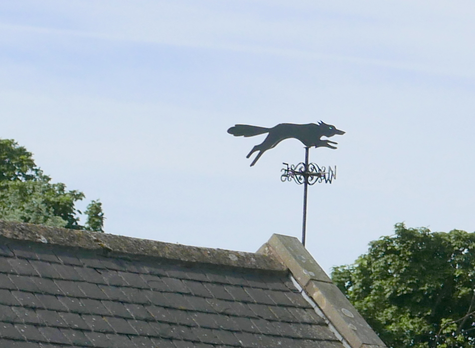
| Weather vane in Old Byland |
 |
| The Old School House, Old Byland |
In The Walker's Guide to the Hambleton Hills, Tom Scott Burns
describes this walk as embodying all the charm of Ryedale as it passes
through the villages of Old Byland, Scawton and Cold Kirby. He goes on to say that in 1143
the Norman Baron Roger de Mowbray granted land in Ryedale to some
wandering monks from Furnace Abbey in Lancashire. They moved about the
dale for a few years before finally settling on a site they called Bellalanda,
or Byeland.
We decided to start the walk with a visit to the present church of Old Byland, All Saints, which is almost hidden from view behind houses in the north west corner of the village. It was unlocked so we had a look around the old building, which has some interesting pagan stone carvings decorating the outer stonework.
 |
| The Church of All Saints, Old Byland |
 |
| Church weather vane |
 |
| Pagan carving of a dragon with a knotted tail |
 |
| Inside the church |
 |
| Pagan God of Nature, the horned headed man |
 |
| Looking towards the rear of the church |
 |
| 'The winter of troubles is past, The storm of affliction is o'er, The struggle is ended at last, And sorrow and death are no more' |
We walked through the village green and on leaving the village we turned left through a gate into the woods of Low
Gill. The track was badly overgrown and thick with nettles and
gradually descended to Ashberry Pasture, a wild-flower sanctuary
maintained by the Yorkshire Wildlife Trust.
 |
| Leaving the road to enter Low Gill |
 |
| We reach the bottom of Low Gill..... |
 |
| ... where we find Ashberry Pasture |
We
joined the road just below Ashberry Hill and walked to a junction next
to Ashberry Farm, which looked as picturesque as ever.
 |
| Ashberry Farm |
We turned right
over the bridge at Ashberry Farm and followed the Scawton road past Hagg
Hall, leaving the road at Bradley Bank and following a woodland track
as it meandered through Nettle Dale. Three large man-made lakes were to
our right and stretched along most of our track through Nettle Dale
until we reached a footbridge and Cleveland Way sign on our right. We
tuned left here and walked uphill into Spring Wood.
 |
| Man-made lakes in Nettle Dale |
 |
| We briefly join the Cleveland Way.... |
 |
| ... and leave it again |
 |
| Climbing through Spring Wood towards Scawton |
 |
| The Inn Way sign reminds me of last year's Inn Way to North Yorks walk |
 |
| Hedgerows are full of flowers, ladies smock or cuckoo plant |
Our path went through Spring Wood until we reached a tarmac road which we followed into Scawton, which is Norse for farm in the hollow.
We
sat on a convenient bench opposite the village hall and enjoyed our
coffee and scones. Usually we are joined by a couple of pet pigs in the field behind, but today the field was empty, perhaps the pigs have been moved to allow the field to recover from their digging?
 |
| Cottage in Scawton |
 |
| Church of St Mary, Scawton |
 |
| Looking along the village towards the church |
After our coffee we wandered across to the Church of St Mary and finding it unlocked and welcoming visitors we entered and looked around. The church was built by the Cistercians of Byland Abbey, 'owing to the divers perils and fatigue which the parishioners underwent in coming from Scawton to Byland.'
 |
| 'We loved her yes we loved her, but Jesus loved her more, he hath sweetly called her, to yonder happy home' | (shore??) |
 |
| WW2 Memorial in the church porch |
 |
| Looking towards the altar |
 |
| Beautifully kept church |
 |
| Towards the rear |
 |
| 'With restless days and sleepless nights, this weary frame was sore oppresst, till God the silver cord unloosed, and gave the heavy laden rest' |
Leaving the church we returned to the village green and crossed the grass to an overgrown path behind the village telephone box.
Sadly it would appear that this part of today's walk is not being used by other walkers and the fields show no sign of tracks.
As we crossed the fields above Flassen Dale we twice saw deer in the trees below us and then, sadly this dead deer lying next to the fence. We wondered what had befallen it?
 |
| Crossing the fields above Flassen Dale |
 |
| No sign of a path as we approach the trees of Flassen Dale |
We kept to our path by using
the yellow way-marks posted on field boundaries until we descended
back into Flassen Dale and turned left onto a broad path then almost
immediately climbed up the other side of the dale.
We now crossed more fields to reach the village of Cold Kirby, passing game bird pens that had been full of partridge when we passed by last year.
 |
| Empty game bird pens |
We walked into the village of Cold Kirby and almost the first building encountered was the Church of St Michael which Tom Scott Burns explains was rebuilt in the 1800s. It originally dated back to the
12th century when the parish was administered by the Order of Knights
Templar. Perhaps this oriental link had inspired the purple ceiling?
 |
| St Michael's Church, Cold Kirby |
 |
| Inside St Michael's Church with its purple ceiling |
 |
| Attractive stained glass windows |
 |
| Looking to the rear of the church |
 |
| Cottage in Cold Kirby |
We
looked into the village briefly and then followed the Cleveland Way
sign to rejoin our path for the steady descent back to Nettle Dale.
 |
| Path from Cold Kirby to Nettle Dale |
 |
| Hawk? |
As we entered Nettle Dale we saw what appeared to be a hawk sitting by a shelter. We walked over to investigate and a keeper was there with his dog. He explained that the dummy hawk was placed next to where 'the guns' would have their lunch, and was intended to keep game birds and their resultant mess away from the eating area.
 |
| Back into Nettle Dale |
 |
| Climbing out of Nettle Dale |
At Nettle Dale we
parted from the Cleveland Way as we reached the lakes, turning left into
a field and crossing to a gated bridge over a stream. We now had a
steep climb out of Nettle Dale through Calister Wood, until we reached
fields on the other side. Our path now ran straight across these field
boundaries to Old Byland, first descending and crossing Low Gill's
woods again.
 |
| The Church at Old Byland appears in the distance |
 |
| A strange sight |
As we reached Low Gill we saw a strange sight. Someone had left their bottom set of false teeth on the stone wall next to the stile. They were clean and it would appear a recent loss and we could imagine someone reaching home and sitting down to dinner before thinking, 'now where did I put my teeth?!
 |
| The path through Low Gill |
 |
| Back to Old Byland |
 |
| The village green, Old Byland |
 |
| Weather vane, Old Byland |
We think this is a nice walk and have to agree with Tom Scott Burns's remark that it embodies all the charm of Ryedale.