Rievaulx Abbey and Caydale from Murton
8.5 miles Heavy showers
We left the B1257 Stokesley to Helmsley Road at the Hawnby turn off and parked at the roadside near to the white painted buildings of Murton Grange.
 |
| Today's route from The Walker's Guide to the Hambleton Hills |
 |
Murton Grange in the rain
|
Tom Scott Burns explains in his 'Walker's Guide to the Hambleton Hills' that the township of Murton was given to Byland Abbey by Hugh Malebisse in the 12th century. A grange was constructed by lay brothers and was basically a well run farm with a small chapel.
We walked past the neat white buildings of the grange and after a short distance turned into Ox Pasture Lane. The path was very wet and muddy making walking quite difficult. We followed the lane to the top of Deep Gill Wood and ahead of us trotted dozens of young pheasants, determined not to take to the air. Only another week or so to the Glorious Twelfth, we thought that they need to become more wary than they are at present if they are to see September!
(Not so! See comment below from 'oleredeye' and check out this link he sent me: Who would have thought you could shoot Golden Plover?
 |
| Ox Pasture Lane |
 |
| Young pheasants in Ox Pasture Lane |
 |
| Walking alongside Deep Gill Wood |
We followed muddy Ox Pasture Lane for nearly two miles eventually leaving the woods at a farm gate and crossing fields to an old barn.
 |
| Ox Pasture Lane is followed for nearly two muddy miles |
 |
| Looking over to East Ley Woods in improving weather |
 |
| The old barn doubles as a shelter for sheep |
Passing to the left of the barn we descended to Barnclose Farm where the path went through the farm yard and turned right onto the farm track.
 |
| Barnclose Farm |
 |
| Honeysuckle and farm buildings |
 |
| Cow and calf at Barnclose Farm |
Leaving Barnclose Farm we had a steady climb on tarmac to reach Tylas Farm, which TSB tells us was built by the monks of Old Byland as a grange and tile house, hence its name. We passed the farm and continued along the road to Oxen Dale until reaching a gate and way-mark on our left where we turned off the road and entered high bracken to gradually descend to the River Rye.
 |
| A walk on tarmac from Tylas Farm... |
 |
| ... Leaving through this gate into the bracken |
 |
| .. and passing through bracken to reach this pretty valley |
Our path now led through the valley of Oxendale, the River Rye to our left. We followed a pleasant grass track until we reached the river and our path became a boardwalk over areas that obviously suffer from flooding.
 |
| Thoughtfully placed boardwalk alongside the River Rye |
 |
| Old metal signpost |
We emerged onto tarmac and almost immediately crossed the river at Bow Bridge, originally built by the Cistercian monks of Rievaulx.
 |
| Approaching Bow Bridge |
 |
| Leave the road at an old Inn Way sign to Rievaulx |
A short walk on the road brought us to a sign pointing to our path across fields to Rievaulx Abbey. We left the road at a wooden Inn Way sign and soon the Abbey came into sight. Our route followed the traces of the old canal that the monks had built in the 11th century to carry stone for the Abbey from the nearby Penny Piece Quarry, so named because quarrymen were apparently paid a penny a day. The river was dammed here and water diverted into the canal.
As we walked through fields towards the Abbey we were rewarded with a fine view of the ruins, in steadily improving weather. Tom Scott Burns says that Rievaulx Abbey is undoubtedly a place to walk to, rather than from.
 |
| Our first view of the ruins |
 |
| We reach the village of Rievaulx |
Emerging onto the road in the middle of the village we turned left and almost immediately reached a bench at the side of the road. The sun came out and we took this to be a sign that we were meant to pause here and have our coffee and scones and we sat with a nice view back down into the village.
 |
| Thatched cottage in Rievaulx |
 |
| Lavender garden |
 |
| Life's not so bad... |
After finishing our coffee we decided to leave our route for a while to visit the church of St Mary's, which we could see uphill to our right.
Apparently the church was originally a 'slipper chapel' to the abbey, a place where pilgrims would remove their shoes and put on soft slippers or socks to enter the holy buildings. It was renovated early this century.
We found the church unlocked and entered to find a neat, well kept building with a fine altar window.
 |
| St Mary's Church at Rievaulx |
 |
| Prettily decorated entrance |
 |
| A window dedicated to the fallen of the Great War |
 |
| The altar window |
 |
| Detail from the altar window |
 |
| Looking back to the narthex |
Just outside the church is a heavy wooden cross erected to the memory of the Earl of Feversham and inside we found the following explanation for its presence.
 |
| Cross made from wood taken from the Battle of the Somme |
 |
| A lot of names for so small a parish |
We retraced our steps downhill through the pretty village and past the Abbey ruins until we reached Rievaulx Bridge. TSB tells how Wordsworth's sister, Dorothy, who, arriving here during a July afternoon, described how she "could have stayed in this solemn, quiet spot till evening without a thought of moving, but William was waiting for me."
 |
| House in Rievaulx |
 |
| Sun dial "showing light and darkness" |
 |
| Side view of the Abbey ruins.... |
 |
| ..... past Abbey Cottage |
The Abbey sits in a natural amphitheatre which was granted to the Cistercian monks by the Lord of Helmsley and building began in 1132. Because of the Abbey's site between a hill and the River Rye the church faces North - South instead of the usual East - West. By 1200 there were 140 monks and 500 lay brothers but like nearby Byland Abbey, it was suppressed in 1538.
 |
| Clive finds a horse to share his apple |
 |
| Walking through Rievaulx |
 |
| A last look as we approach the bridge |
 |
| Rievaulx Bridge |
We crossed the bridge and followed the road to pretty Ashberry Farm where our path turned behind the building and immediately started to climb Ashberry Hill. As on previous visits our view was not the magnificent one enjoyed by TSB in the days before it was spoiled by new growth, however at one point a gap in the trees gave us a view of one of the Ionic Temples built above the abbey by a local squire in 1758.
 |
| Ashberry Farm |
 |
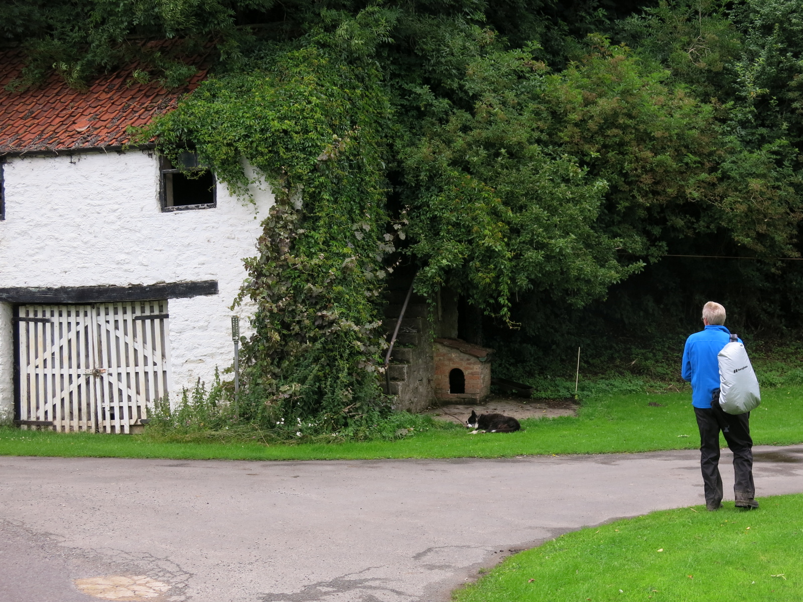
| Clive passes the farm and a sleeping guard dog |
 |
| "I am not asleep!" |
 |
| Ionic Temple |
We followed the wooded path through Lambert Hagg Wood and left the wood on the same road that we had followed on our outward route, past Tylas Farm. This time we left the road just before reaching the farm, turning left onto a muddy track that runs along Birk Bank. This muddy and sometimes difficult path goes in and out of trees about midway up Birk Bank, which stretches both above and below the track.
 |
| Bench at Lambert Hagg Wood |
 |
| Birk Bank |
 |
| A last look back to Rievaulx from Birk Bank |
 |
| Tylas Farm in the distance from Birk Bank |
A mile of walking along this woodland track took us to Caydale Mill whose roofs can be seen below, and just beyond the mill we reached the road and a ford where we washed the mud from our boots. Cars on this lane drive through 100 yards of water, but walkers cross by a bridge and avoid getting wet feet, rejoining the road at the other side of the ford.
 |
| Looking back at Birk Bank from Caydale Mill |
 |
| Cleaning boots in the ford |
Beyond the ford the lane becomes a very steep (1:4) climb for about half a mile, before eventually levelling out. After eight miles of walking this climb is a test for the legs! Eventually the white buildings of Murton Grange appeared in the distance and we were soon back at the car.
 |
| I put up a young pheasant |
 |
| Approaching Murton Grange |
 |
| Murton Grange |
This is one of our favourite Tom Scott Burns walks with lots to see, highly recommended!