"There must be dales in Paradise
Which you and I will find.."

Saturday 16 December 2017


Captain Cook Country from Great Ayton


8 miles                            Wintry showers


We parked at the roadside in Great Ayton High Street and walked down to leave the road and cross the steel bridge over the Leven, opposite Suggits Ice Cream Parlour.

Apologies for poor photographs today, I have somehow moved the settings and pictures are a bit fuzzy with poor colour. 


Today's walk from The Walker's Guide to the Cleveland Hills
Great Ayton


Weather vane at Great Ayton

Tom Scott Burns remarks that Great Ayton was known as Canny Yatton and in the early 1800s was the haunt of Au'd Nanny, a notorious witch described in Blakeborough's dialect verse T' Hunt o' Yatton Brigg.

"Her naals they war lang, an' humped war her back,

An baith lugs war pointed, her skin ommaist black... "

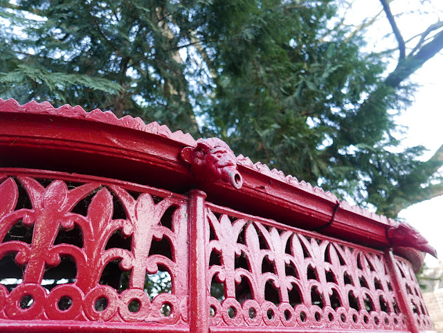
Just over the steel bridge we came to an old 'pissoir', now sited as a tourist attraction, and not a working one.  I remember when I was a boy it was painted a more tasteful green and still in use, sited further up the High Street near what used to be the Friends' School. 


We passed the little waterfall and followed the river along field paths towards Little Ayton.


Pissoir


The exceptionally cold morning meant meant the going was easy on frosty ground in the fields alongside the river, and we soon reached Woodhouse Farm, after passing by a large deer enclosure.  


Frozen ground makes easier walking through fields


Alongside the deer enclosure
Arriving at Woodhouse Farm we were pleased to see that two tame geese still appear fit and well, the fourth year we have seen them here.  We were interested to see an old Scarab street cleaner at the farm and wondered how it got there.

Woodhouse Farm

Scarab street cleaner

Pet geese at Woodhouse Farm

After the farm we crossed a field containing horses, then a bridge over the river, to reach Easby Lane, which we followed through Easby.  Outside the village we stopped to chat to a farmer who was using a power wash on  a blackthorn hedge. An experiment, he explained, to see if he could get rid of the lichen and moss that was killing the hedge. 

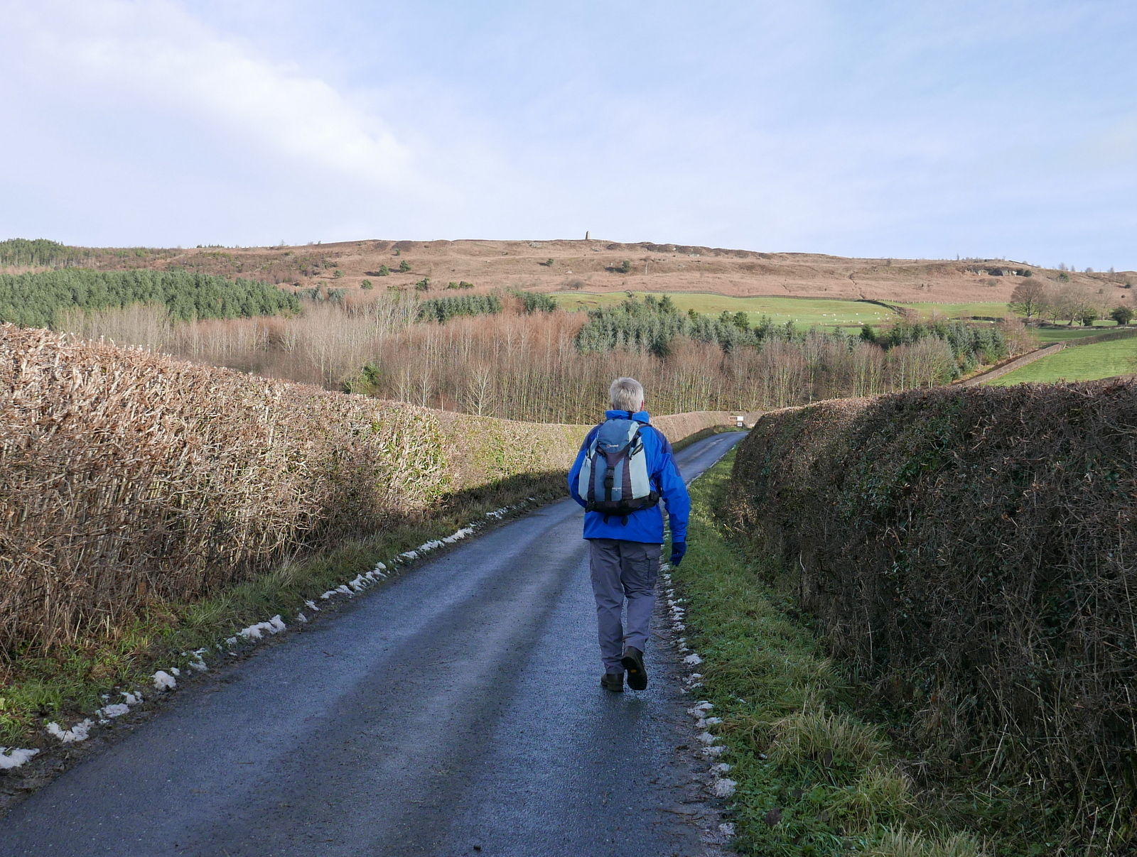
We crossed the bridge over the railway line and stayed on the tarmac road for half a mile, carefully avoiding patches of black ice, as we climbed steadily uphill.  Just before Borough Green Farm we climbed a way-marked stile into fields and began a steady climb to Easby Moor.


Easby

Hunting weather vane at Easby


Cat and mouse at Easby


Guinea fowl crossing the road outside Easby

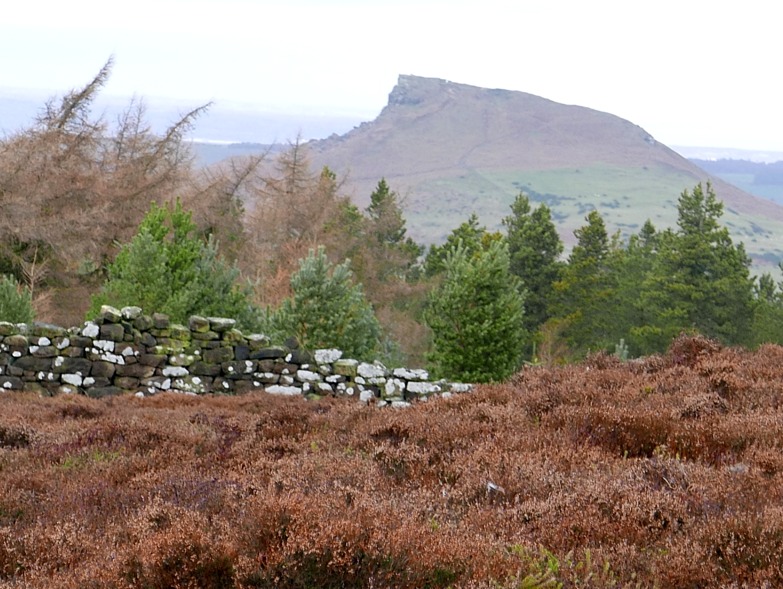
Captain Cook's Monument appears on the sky-line

Leaving the road before Borough Green Farm

Reaching the Moor Gate we turned right to follow our path below the moor to Mill Bank Wood.

Entering the wood we walked for over a mile.  TSB says that the wood is named after an old Bleach Mill where woollen cloth was 'fulled' in order to soften and shrink it to a warmer, closer weave. The mill was destroyed on the night of 21st July 1840 when heavy rains caused enormous volumes of water to burst two fishponds at Kildale Hall. A wall of water 40 feet high carried away two stone bridges, a corn mill, sluice gates, an earth dam and the bleaching mill, as it rushed towards Great Ayton.  


Climbing towards Easby Moor, Ayton in the distance

Easby Hall below us

Clive looks back towards Easby and Great Ayton

Following the old hollow lane to the moor

Looking back from the moor gate

Entering Mill Bank Wood


As we walked through the wood we spotted three deer in the trees about 100 yards away.  One stood and watched us while the others continued grazing.  It was impossible to get a clear photograph and we moved on leaving them in peace.


Waling through Mill Bank Wood

Can you see it yet?

The white rumps give the deer away but too far away for a decent photograph


We came out of the woods by Bankside Farm and joined the tarmac lane.  This is where we intended to stop to enjoy our coffee and scones but a squally shower and cold wind moved us a little beyond and we sheltered against an old stone wall, looking down towards Kildale and the old Church.


Kildale Church from Bankside Farm

Kildale Hall from our coffee stop

We followed the farm road uphill from Bankside Farm until we came to a fork where we turned left to walk through the trees of Coate Moor.  A gentle climb along an icy path led us to Captain Cook's Monument.


Hardy sheep at Bankside Farm


Dead shrew.  Cold, sickness or old age?

The trees of Coast Moor

Icy path

The monument comes into view


Plaque on monument


TSB notes that the monument was built in 1827, the foundation stone being laid by Robert Campion of Whitby.  

Walking down from the monument we passed the remains of old workings that is the site of Ayton Ironstone mines, worked by Pease and Partners from 1909 to 1928.  

We took care as we descended through the trees and followed the track to pass some white cottages on the Gribdale Gate road.  


Roseberry Topping appears to our east

We begin the descent from Easby Moor

Easby and Easby Hall below

Looking back at the monument
After passing the white cottages a steep climb followed, up the tarmac track to Aireyholme Farm where there was a fine view over to Roseberry Topping. 


Steep descent from Easby Moor

Pine needles give traction as we descend

Passing white cottages at Dikes Lane

Weather vane at Dikes Lane

The climb to Aireyholme Farm


Aireyholme Farm is famous for being the workplace of Captain Cook's father, who was bailiff there in 1736.

After pausing to buy some free range eggs at Aireyholme Farm we went through a farm gate and followed a track to to Aireyholme Cottage where we turned sharp left after pausing to get our best yet view of Roseberry.


Approaching Aireyholme Farm

Duck pond at Aireyholme Farm 


Aireyholme Farm

Fresh eggs for sale

Our track took us to Cliff Rigg Quarry, where whinstone was mined.  This hard reddish stone is the remains of a volcanic explosion on the west coast of Scotland about 58 million years ago, and is the only such stone on the Yorkshire moors. 


Nice view of Roseberry near to Cliff Rigg Quarry


Remains of the old quarry

Last time we came this way excavations were taking place at a spot believed to be the site of Captain Cook's father's cottage.  It looked from the new information board that foundations had been found here but nothing to link it with the family.


Possible site of Captain Cook's family cottage


Descending from the quarry we crossed the railway line once more before following the path, usually muddy but today still crisp with frost, alongside Cleveland Lodge and into Great Ayton.

We walked along the High Street and took the opportunity to collect fresh scones and pork pies from Petch's Pie Shop before popping into the Royal Oak and enjoying a pint of Wainwright Ale to end our day's walk.  


Descending from the quarry

Track alongside Cleveland Lodge


Saturday 9 December 2017


Whorlton Castle and Church from Swainby


6 miles                           Cool and fine


We parked in the road at Swainby near the Blacksmith's Arms and before crossing the river we looked at the restored pinfold just opposite the pub.  A pinfold is where stray animals were kept secure until they were reclaimed by their owners after payment of a fine.


Today's walk from The Walker's Guide to the Cleveland Hills

The pinfold with the Blacksmith's Arms behind


Millennium Plaque in the Pinfold

We then walked up the high street and turned left into a footpath just before the church.

This footpath passes along the back of houses and we soon left Swainby, which Tom Scott Burns informs us means 'Swain's Farm', from the old Norse name Sveinn.  


'Miner' weather vane in Swainby

We turned off the high street here...

.. into the path alongside the Black Horse

Footpath at the rear of Swainby's houses

Our footpath soon joined a lane which took us very quickly to Whorlton Castle.  All that is left to see of the castle is the gatehouse and we were pleased to find that its wooden gate, although closed, was unlocked.

TSB tells us that there have been a number of castles on this site, even before the Domesday Book which records it as Wirueltun in 1086. William the Conqueror gave the manor to Robert Count de Mortain, and then it passed into the hands of the de Meynell family.  The castle was surrounded by a deep moat over which was a drawbridge.  The remains the the moat are still obvious today.  

In 1323 Edward II was known to have stayed at Whorlton Castle while hunting deer in North Yorkshire and during the Cromwellian period Royalists held the castle and were bombarded by Roundheads from Whorl Hill to the East and Toft Hill to the West.


Whorlton Castle gate house

Will we get in..?

The gates weren't locked. Looking at the rear of the gate house

Remains of the castle's Keep

 A brief history of the castle is to be found here:   https://en.wikipedia.org/wiki/Whorlton_Castle

A few yards further along the tarmac lane brought us to the old Saxon church of Holy Cross. There is a tale that an underground passage links the castle to this nearby church and we decided to stop off to have a look round.  The church was locked and we peered through the grill in the chancel door.  We could just see the bog oak effigy of the second Lord Nicholas de Meynell who died in 1322.   I hadn't realised what bog oak is:  http://www.wood-database.com/bog-oak/ 

There are some very interesting tombstones dating from the early 1700s and the low sun made the epitaphs easier to read.


Church of Holy Cross


Holy Cross from the rear


Bog oak effigy


'In perfect hilth he went from home, and little thought his glass was run, but dying in so short a space, I hope his soul in  a good place'


'Remember man as thou goes by as thou art now so wonce was I As I am now so must thou be remember man that thou must die'


'He was an affectionate husband who lived beloved and died lamented. Oh how uncertain are the days of men. Certain to die but yet uncertain when. In perfect health I went from home, but little thought my glass so near was run. In health at night,the same at morn But before noon my glass was run.'

Whorl Hill

We enjoyed browsing the old epitaphs but eventually it was time to move on and we returned to the lane and followed it to the junction with Whorlton Lane, where we climbed a stile into fields and headed straight towards Whorl Hill, which dominates the skyline.  The field paths were not as muddy as we had expected, perhaps today's strong cold wind had dried them somewhat.   


Looking back at Holy Cross Church and Whorlton Castle


A steady climb took us into the trees of Whorl Hill (old Norse 'hvirfill' - 'high hill with a rounded top') and we continued to climb until our track levelled out and we circumnavigated the hill, just inside the tree line.  

TSB informs us that in 1810 one of Britain's largest hoards of Roman silver coins (weighing 2 stones) was dug up on Whorl Hill by a local farmer whilst ploughing his field.  We followed the path with a fine view down to Swainby through the trees, until we dropped away from the main path to exit the woods at Bank Lane via the garden of a bungalow.


Walking through the trees of Whorl Hill

In Bank Lane

We now walked up Bank Lane towards Live Moor and Round Hill.  Reaching the trees of Faceby Plantation a short sharp climb brought us to a path below Round Hill, and here, sheltered from the wind, we sat to enjoy our coffee and scones using the old stone wall as seat and table.


Climbing through Faceby Plantation

We reach the moor gate

A level walk along spoil heaps below Round Hill

Time for coffee and scones

Our break over, we climbed once more to reach the moor top and the stone flags of the Cleveland Way.  We turned right and walked into a cold head wind, following the Cleveland Way westwards.

A final push to the top

Following the Cleveland Way

A site of scientific interest?

All these years we thought it was just a cairn!  A new sign opposite the cairn

We crossed Round Hill and dropped steeply down to Huthwaite Green where I discovered the wind had put paid to my plan to buy some free range eggs by demolishing the little stall at Hollin Hill Farm.


Crossing Round Hill

Whorl Hill below

The old railway wagon has been hit by the gales

Eggs for sale at Hollin Hill Farm last year

Storm Caroline appears to have thwarted my purchase of fresh eggs

We crossed a ford and climbed across a field, still following the Cleveland Way, before turning into woods alongside Scugdale Beck.  Our path led us through Clain Wood alongside the beck for a mile and looking over to the east we could at all times see Whorl Hill and our outward path.  


Crossing Scugdale Beck

Climbing towards Clain Wood

Hawk's dining table in Clain Wood


Leaving the wood and joining the Sheepwash to the A172 road we descended towards Swainby.  We entered the village walking alongside the beck and crossed the bridge to look at the new Church of Holy Cross.  It was unlocked and we had a look around but there are no gravestones here as burials still take place at the old church at Whorlton.


Shepherd weather vane at Swainby

Footballer weather vane at Swainby

Descending towards Swainby

Swainby High Street
This new church was built in 1877 and is the work of Temple Moor, who also built the church at Fangdale Beck that we visited a few weeks ago.  This is a much grander affair however.

Looking across the beck to Holy Cross Church, Swainby

Looking towards the altar

Some fine windows

The altar window

Leaving the church our walk took us past the Black Horse and we decided to end our walk at the pub with a couple of pints of their appropriately named 'Bitter and Twisted' ale.