Rievaulx Abbey and Caydale from Murton
8.5 miles Sunny
Today was a fine sunny autumn day so we thought we would do one of our favourite Tom Scott Burns walks.
We left the B1257 Stokesley to Helmsley Road at the Hawnby turn off and parked at the roadside near to the white painted buildings of Murton Grange.
 |
| Today's walk from The Walker's Guide to the Hambleton Hills |
 |
| Murton Grange |
Tom Scott Burns explains in his 'Walker's Guide to the Hambleton Hills' that the township of Murton was given to Byland Abbey by Hugh Malebisse in the 12th century. A grange was constructed by lay brothers and was basically a well organised farm with a small chapel.
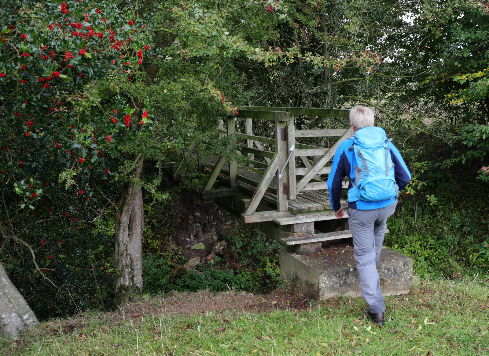
We walked past the neat white buildings of the grange and after a short distance turned into Ox Pasture Lane. We followed the lane to the top of Deep Gill Wood and ahead of us trotted dozens of young pheasants, determined not to take to the air.
 |
| Ox Pasture Lane |
 |
| Pheasants everywhere! |
 |
| Deep Gill Wood |
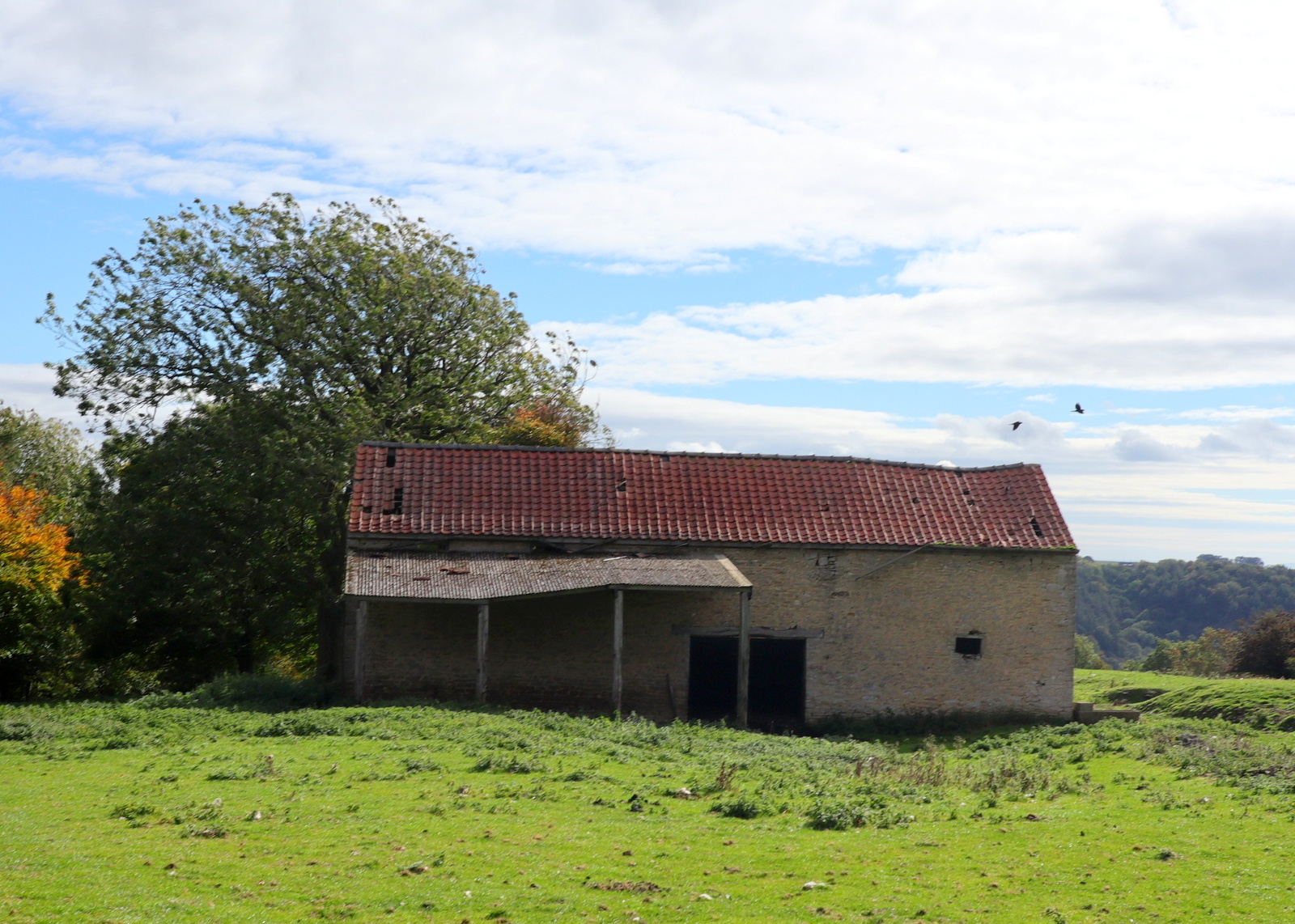
We followed Ox Pasture Lane for nearly two miles, eventually leaving the woods at a farm gate and crossing fields occupied by horses and sheep to an old barn.
 |
| Leaving Ox Pasture Lane |
 |
| Penned sheep baa our path... |
 |
| ... so we climb over the fence to continue |
 |
| Past several friendly ponies |
 |
| To an old barn |
Passing to the left of the barn we descended to Barnclose Farm where the path goes through the farm yard and turns right onto the farm track.
 |
| Fields are dotted with yellow celandine |
 |
| Looking over to Tylas Farm |
 |
| Approaching Barnclose Farm |
 |
| Outbuildings at Barnclose Farm |
 |
| Geese at Barnclose Farm |
Leaving Barnclose Farm we had a steady climb on tarmac to reach Tylas Farm, which TSB tells us was built by the monks of Old Byland as a grange and tile house, hence its name. We passed the farm and continued along the road to Oxen Dale until reaching a gate and way-mark on our left where we turned off the road and entered high bracken to gradually descend to the River Rye.
On reaching the river we saw a long necked bird standing in the water but I only had time to get one quick shot with my camera. We didn't get a good look at it and are unsure whether we saw a heron or a cormorant.
 |
| Quiet lane after Tylas Farm |
 |
| Turning off to enter fields.. |
 |
| .. and bracken |
 |
| Heron or cormorant? |
The path now leads through the valley of Oxendale, the River Rye on the left. We followed a pleasant grassy track until we reached the river and our path became a boardwalk over areas that obviously suffer from flooding.
 |
| Along the boardwalk |
We emerged onto tarmac and almost immediately crossed the river at Bow Bridge, originally built by the Cistercian monks of Rievaulx. A short walk on the road brought us to a sign pointing to our path across fields to Rievaulx Abbey. We left the road at a wooden Inn Way sign and soon the Abbey came into sight.
Our route followed the traces of the old canal that the monks had built in the 11th century to carry stone for the Abbey from the nearby Penny Piece Quarry, so named because quarrymen were apparently paid a penny a day. The river was dammed here and water diverted into the canal.
 |
| Leaving the road near Bow Bridge |
 |
| First glimpse of the abbey |
As we walked through fields towards the abbey we were amused to walk close by a sleeping foal. Our talking didn't waken it and we could see that it was breathing steadily and deep in the land of nod.
 |
| Horse and sleeping foal |
 |
| Let sleeping horses lie |
We soon reached the village of Rievaulx and turned right onto the road to walk uphill to the Slipper Chapel of St Mary's. This was a place where pilgrims would remove their shoes and put on soft slippers or socks to enter the holy buildings of the Abbey. It was renovated early in the twentieth century.
We found the church unlocked and entered to find a neat, well kept building with a fine altar window.
 |
| Rievaulx |
 |
| St Mary's Chapel |
 |
| Memorial cross to the Earl of Feversham |
 |
| Memorial window to the Earl of Feversham |
 |
| Altar window |
 |
| Looking back from the altar |
Just outside the church is a heavy wooden cross erected in memory of the Earl of Feversham and inside we found the following explanation for its presence.
 |
| A leaflet in the church records that 19 men from the village of only three dozen households lost their lives in WW1 |
We retraced our steps downhill through the pretty village to reach a memorial bench outside the village hall, where we sat and enjoyed our coffee and scones with a fine view over to the abbey ruins.
 |
| Cottage next to our coffee stop at the village hall |
 |
| Our view with coffee |
After a leisurely break we packed our bags and set off once more, down through the village and past the Abbey ruins until we reached Rievaulx Bridge. TSB tells how Wordsworth's sister, Dorothy, who, arriving here during a July afternoon, described how she "could have stayed in this solemn, quiet spot till evening without a thought of moving, but William was waiting for me."
 |
| Walking past the abbey ruins |
 |
| Geese at Rievaulx |
 |
| Rievaulx Bridge |
TSB explains that the Abbey sits in a natural amphitheatre which was granted to the Cistercian monks by the Lord of Helmsley, and building began in 1132. Because of the Abbey's site between a hill and the River Rye the church faces North - South instead of the usual East - West. By 1200 there were 140 monks and 500 lay brothers but like nearby Byland Abbey, it was suppressed in 1538.
We crossed the bridge and followed the road to pretty Ashberry Farm where our path turned behind the building and immediately started to climb Ashberry Hill. At one point a gap in the trees gave us a view of one of the Ionic Temples built above the abbey by a local squire in 1758.
 |
| Cottage at Rievaulx Bridge |
 |
| Ashberry Farm |
 |
| We are sorry to see the empty dog kennel. Has the old sheepdog moved on.. |
 |
| Ionic Temple folly through the trees |
 |
| No view nowadays because of sapling growth |
 |
| Walking through Lambert Hagg Wood |
We followed the wooded path through Lambert Hagg Wood and left the wood on the same road that we had followed on our outward route, past Tylas Farm. This time we left the road just before reaching the farm, turning left onto a muddy track that runs along Birk Bank. Even in today's dry weather this track is difficult because horses have churned the mud. It meanders in and out of trees about midway up Birk Bank until it finally reaches Caydale Mill, almost unseen in the trees below.
Here we rejoined the road and walked down to a long ford, where we paddled to clean Birk Bank's mud from our boots.
 |
| Approaching Tylas Farm |
 |
| We were interested to see old narrow gauge railway track re-used for cattle grid |
 |
| Birk Bank Wood |
 |
| 1.5 mile walk through Birk Bank trees |
 |
| Paddling at the ford |
Beyond the ford the lane becomes a very steep climb for about half a mile, before eventually levelling out. After eight miles of walking this climb is a good test for the legs! Eventually the white buildings of Murton Grange appeared in the distance and we were soon back at the car.
The Inn at Hawnby has now closed its doors so it was necessary to take a short drive to The Buck at Chop Gate where we could sit outside in the sun and discuss the day's sights over a pint.
This walk is recommended as it shows the very best of North Yorkshire.
 |
| Murton Grange comes into view |
 |
| "Where's the crisps?" A good end to a good walk |