"There must be dales in Paradise
Which you and I will find.."

Saturday 12 January 2019


Ladhill Gill and Bumper Castle from Fangdale Beck


7.5 miles                           Grey sky, dry and cool


We turned off the B1257 Bilsdale Road and drove past an old green telephone kiosk to the village of Fangdale Beck where we parked at the roadside.  Tom Scott Burns tells us that Fangdale comes from the personal Scandinavian name Fangi or Fangulf, giving 'Fangi's Valley'.   Leaving the car we crossed the beck by the little bridge and walked past the old Wesleyan Chapel, now converted into a private house.


Today's walk from The Walker's Guide to the Cleveland Hills

Unusual telephone box at Fangdale Beck - see story below

Fangdale Beck


Old Wensleyan Chapel, now a house

The green telephone box at Fangdale Beck was installed in the 1930s and was green at the request of Lord Feversham, who wanted it to blend in with its surroundings. In 1992 a battle was fought over this when British Telecom, without any consultation, removed it and installed one of the new 'shower cubicle' type boxes, without realising they had removed a Grade II listed building.  To the delight of the locals they were fined £3000 and ordered to restore the original.


We crossed the bridge next to the old Chapel and followed the tarmac lane around to a farm with a sign above the door inscribed Malkin Bower. (Matilda's or Maude's dwelling)  We continued straight past the farm with the tarmac changing to a grassy track.

Looking back at Fangdale Beck

Looking across Bilsdale to St John's Church

Malkin Bower

Dog weather vane at Malkin Bower


Passing Malkin Bower

Once past the farm the tarmac vanished and our track became a muddy path which we followed along the valley of Bilsdale, parallel to the road below us.  The path dropped down to the River Seph becoming wetter and muddier before climbing gently up to Helm House.  


Mist in the valley


Helm House


Leaving Helm House we continued on a very muddy path across sheep fields before arriving at Benhill Bank Plantation where the track climbs steadily up to reach the moor gate.

Benhill Bank Plantation in the distance

Benhill Bank Plantation


"You lot have made it a right mess!"

The ground finally became less muddy as we climbed through the conifer plantation.   At the top of the bank we turned right onto a tarmac road to Wethercote Farm, which we left, bearing left, after a couple of hundred yards.  We now walked across fields, our path completely undetectable apart from the occasional yellow waymark. 

Join the road towards Weathercote Farm at Low Ewe Farm...

... and climb uphill

Heading for the moor gate

The last gate took us to the moor edge where the path becomes more distinct, leading from the moor gate.  Looking down to our right we saw the ruins of Bumper Castle behind a grove of trees.  TSB tells us that the castle was once part of the estate of the Duke of Buckingham and also that the monks of Rievaulx once wrought iron on Bumper Moor.


The ruins of Bumper Castle.  For a fuller report on the castle see our last visit in November 2017

We walked parallel to the valley bottom along an old cart track until we reached a line of telegraph poles.  Here we met another track leading straight down to Ladhill Gill.  Reaching the stream we sat on some convenient rocks near the bridge and enjoyed our coffee, sheltered from the breeze.  

Following the cart track parallel to the stream


Easterside Hill comes into view ahead

Walking down to Ladhill Gill, Sportsmans Hall on the hill ahead

Yellow right of way mark on the boulder indicates position of bridge across Ladhill Gill

We sit to enjoy our coffee near the bridge

We crossed the bridge and climbed steeply up the opposite side of the valley, turning left to join a track that led us above Sportsmans Hall.  TSB suggests that this name probably has something to do with Bumper Castle and the Duke's sporting pastimes.


Slippery bridge

Ladhill Gill

Way-mark down!


We climb up from the stream..

.. to pass behind Sportsmans Hall

"Excuse me but we're coming through"

We walked towards the Hawnby road and turned right along a vehicle access track at the moor gate.   The track divides twice and on each occasion we took the right fork, heading towards Bilsdale mast.


Turn right at this sign to follow a shooter's path

We have come across a few of these painted stones recently

Across the moor towards Bilsdale Mast

Eventually our path struck off faintly across the moor.  We lost sight of the track occasionally but it didn't matter, we knew we had to head east to cross the upper reaches of Ladhill Gill, where it joins with Wetherhouse Beck.  Here the route is indicated by a row of wooden stakes showing the location of some shooting butts. 

This part of the walk is a bit hit and miss, the moor track being either non-existent or overgrown and very boggy, but eventually we reached the shooting butts and we turned left to follow their line.

We follow the line of shooting butts 


Turn right before this fence...

... and follow the fence line

At the end of the shooting butts we came to a fence which we followed uphill to reach the top of the moor and a sandy shooter's track.  We then followed the shooters' track along the ridge of the moor until we came to poles, indicating more shooting butts.  The top of these poles have been painted white and we followed their line downhill towards Bilsdale.


Follow the poles!

It was at this point in 2016 I had the good fortune to have my camera out and ready when some grouse took to the air, providing me with one of my favourite photos.


A lucky shot in 2016


We passed a rounded hillock and then bore right between two plantations.   We went through the moor gate and by some old quarries and then descended via the usual hollow way to emerge at Malkin Bower where we turned left to return to Fangdale and our car.

Back into Bilsdale

Following a hollow lane..

.. back to Fangdale

Arriving at Fangdale
Having time to spare we decided to pay a quick call to nearby St John's Church, which is just opposite the Fangdale turn off on the B1257.  The church was built in the 1890s and so has little history, but it was unlocked and we were free to look around.


St John's Church, Bilsdale


Altar window at St John's Church


Friday 4 January 2019


Kepwick and Cowesby from Over Silton

5 miles          Fair but cold


This is a favourite winter walk of ours, short, interesting and ideal for a winter's morning.

We parked at Over Silton at the roadside opposite the Old School House, having approached the village from the A19.


Today's walk from The Walker's Guide to the Hambleton Hills


In his walker's guide Tom Scott Burns notes that the name Silton probably derives from Sal, as in Upsal, which means Hall and Ton which is old Anglian for place or town.

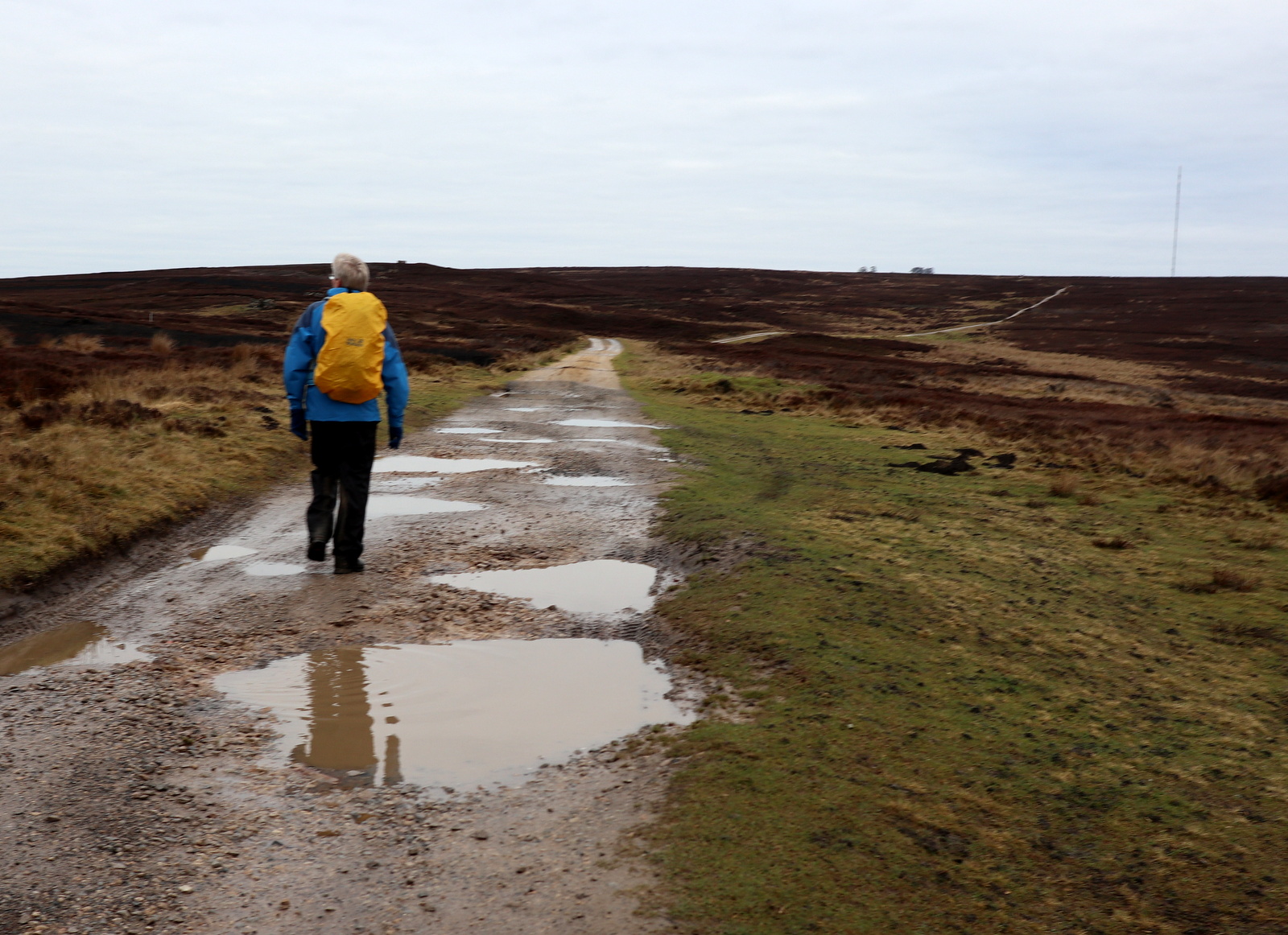
After booting up we followed the road out of Silton and turned into a field at a gate. Although easy to miss behind the telephone pole there is a green footpath sign here, but most of today's route shows little indication of having being walked.  Whilst shown on the map, tracks across the fields are mostly non-existent.

The old school house, Over Silton, built 1844

The Manor House in Over Silton


And a Happy New Year to you too!

New fencing to secure the horses

We walked through fields until we reached Greystone Farm, passing by the attractive and tidily kept buildings to a small open barn where rosettes and prize certificates awarded to their Suffolk sheep are proudly displayed.  


Greystone Farm


A prize winning flock..

.. of Suffolk Sheep

Suffolk Rams

......and more Suffolk Rams

We continued along field paths until we reached Nether Silton where we crossed the road and to rejoin our path across fields, which led us to Hall Farm.  

We were amused to see a couple of very large turkeys here who had survived Christmas and obviously had the run of the place.


Weather vane at Nether Silton
Turkeys at Hall Farm


We continued beyond the farm to walk through fields until we reached the footbridge over Sorrow Beck.


Through fields..


.. and past a large pond


.. to reach Sorrow Beck

Sorrow Beck from the footbridge

After crossing the beck  we walked through fields to reach a stone footbridge that is built over what used to be a 3.5 mile narrow gauge railway.  Constructed in 1833 this railway brought limestone mined near Kepwick to kilns near to the Yarm and Thirsk turnpike road.  We crossed another field and joined Peasland Lane which we followed for a mile into Cowesby.


Railway footbridge

We disturb some geese
Cowesby Church and Black Hambleton in the distance

Geese feeding at Cowesby

We enter the village

The first building one sees on entering Cowesby is St Michael and All Angels Church whose porch provided a seat and shelter for us to enjoy our coffee.  The building was unlocked so we looked around to find the church suffering very badly with damp and mildew.  It seems a shame that the local community doesn't get together to clean it up and maybe pay for a dehumidifier to be installed.

St Michael and All Angels, Coweby

Suffering badly from damp

Mildew everywhere


Some TLC needed

Weather vane at St Michael's

Although the present church dates from only 1846 it replaced one of the oldest churches in the district, which stood on a Saxon site.  

The tower has an unusual pyramid roof which houses a ring of six bells, their ropes dangling near the altar.


We left the church and walked through Cowesby, past Home Farm, then followed a path bearing left along the western shoulder of Pen Hill that leads down towards Kepwick.  


Farm house in Cowesby

Cottages at Cowesby

Weather vane at Cowesby

At end of High Street in Cowesby, turn left at this sign

... and follow blue paint marks uphill to Pen Hill

As we approached Kepwick we saw a stone hut.  TSB mentions that a John Henry Warner constructed two reservoirs on the moors above Kepwick in 1873 to supply water to Kepwick Hall and we looked inside to see the remains of a large metal pipe in its floor.  We guessed therefore that this stone hut must be something to do with Warner's reservoir system.


Cowesby from Pen Hill

Walking along the flank of Pen Hill

Descending towards Kepwick we notice a stone hut

Clive checks out the hut

Water pipe?

We didn't enter Kepwick but instead crossed the road to return to fields which took us first to the disused railway and then to Bridge Beck which we crossed on a dilapidated bridge.  Only the two supporting beams are left of the bridge which has deteriorated since our last visit. A hundred yards later we reached and crossed Sorrow Beck where the bridge appeared to have been repaired, perhaps Bridge Beck will be next?


Crossing the road to enter fields at Kepwick

Old railway bridge...

... and the remains of the railway track bed

Bridge Beck

The same bridge in 2017

That's better, new wood at Sorrow Beck

We now headed across fields to re-enter Nether Silton. There is no path across these fields and way-marks are few and far between, but head for the old Manor Stone which is in the middle of a field next to the manor house which dates from the 16th century.  The stone is cryptically inscribed with letters whose meaning I've set out below the photograph.  This inscription was the idea of a Squire Hicks to mark the spot where the medieval manor house once stood.


A sad sight

The Old Manor House ahead

16th Century Manor House

I prop up the Manor Stone

The letters read: Here The Grand Old Manor House Stood
The Black Beams Were Oak, The Great Walls Were Good
The Walls At The East Wing Are Hidden Here
A Thatched Cottage Like A Barn Was Erected 
Year AD 1765
A Wide Porch Spans A Yard And Alcove

Near to the manor house is the chapel of ease of All Saints which was rebuilt in 1812. Such a chapel is built for the convenience of parishioners who find it difficult to access the main church, in this case, isolated St Mary's. We found it unlocked and went inside.

Tom Scott Burns explains that wood used in the altar rails and other refurbishments were presented by a R M Jaques, and were from HMS Dreadnought of Lord Nelson's day. This chapel was in far better repair than the church at Cowesby.

All Saints, Nether Silton


We were interested to see a memorial to the fallen from WWI listing seven men from this tiny hamlet, and in the graveyard saw a memorial to one of them, a soldier who fell at the Battle of Marne.


Clive up in the Gods


Died at the Battle of Marne

Our home is sad and lonely now, since one we loved so well is gone, the bitter tears of grief do flow, as dreary hours roll slowly on

His languishing head is at rest, his thinkings and achings are o'er, his quiet immovable breast,
will heave by affliction no more

After wandering round the graveyard and reading some of the cheering Victorian epitaphs we left the church and immediately turned off the road at a white gate opposite, just near to the post box.  

There is no sign to indicate this public path, which leads through to fields.  Once in the fields we were now returning and parallel to Greystone Farm and its Suffolk sheep.  


No sign but we need to be through the white gate at the Old Post Office

Across fields and Kirk Ings Lane

After crossing the tarmac of  Kirk Ings Lane we reached St Mary's Church, which appears abandoned in the middle of a field, positioned some distance from the village of Over Silton.

This church used to suffer from damp but recent roof repairs have made a terrific difference to its condition.  We popped in for a minute to see if there were any Christmas decorations (nope) but hopefully will return for a better look in summer on a different walk.


St Mary's Church, Over Silton


Only candlelight at St Mary's

A short walk from the church took us to the houses of Over Silton and the car.