Slingsby Castle and Fryton from Hovingham
10.5 miles Wet and cold
We thought we would do a longer walk today and this nice route from Tom Scott Burns's The Walker's Guide to the Hambleton Hills just fits the bill.
TSB says that this walk of woodland paths, open lanes, and the villages of Hovingham and Slingsby, with its ruined castle, will calm the most distraught mind.
 |
| Hovingham |
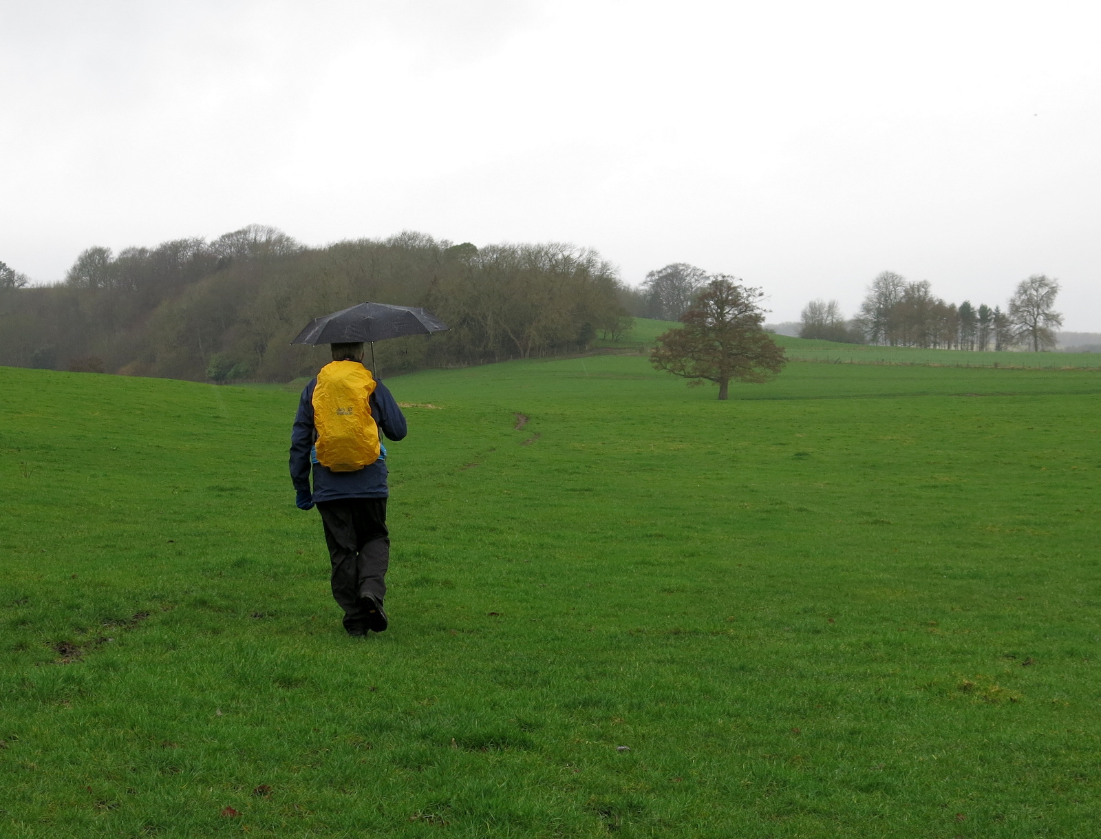
We drove to Hovingham via Helmsley along the B1257 and parked at the roadside. As we booted up a couple of gents approached and asked us where we were walking. They told us they had decided to cancel their walk because of the rain. A mistake, we felt, as they had waterproofs with them.
 |
| Today's walk from The Walker's Guide to the Hambleton Hills |
We parked next to Hovingham Hall which TSB says was given to Roger de Mowbray by William the Conqueror and came to the Worsley family in 1563, with the present Hall dating from 1745.
 |
| Hovingham Hall |
Next to the hall is the Church of All Saints and we decided to look inside before starting our walk, hoping that the rain would ease while we were inside.
 |
| The tower was built before the Norman Conquest |
This is an old church and informative notes inside explain that the tower has been more or less untouched since it was built, sometime between 1042 and 1066.
One of the most striking features inside the church is a 10th century Viking Cross, mounted high in a frame and acting as the church's altar cross. Apparently it was once brightly painted.
 |
| Front and rear of Viking Cross |
 |
| Modern window |
 |
| Altar and cross situated in chancel |
Time was pressing as we had over 10 miles ahead of us so we stepped back into the rain and set off, walking past the entrance to Hovingham Hall and following the road around to the rear of the hall, where we entered fields at a footpath sign.
We could now see the rear of the Hall and passed by an attractive bridge and waterfall feature which must have originally been built to be viewed from the Hall.
 |
| Rear of Hovingham Hall |
 |
| Following a small path through the grounds... |
 |
| ... and passing a water feature |
Shortly after passing the bridge we rejoined the road for a short time before turning left into Mill Wood, the path now following the course of a stream before rejoining the road near to Hovingham Lodge.
 |
| Turn into Mill Wood |
 |
| That's the way! |
 |
| Muddy forestry path |
 |
| Looking back to Mill Wood |
The track took us past Thwaites Cottage and then Hovingham Lodge before joining field paths towards Airyholme Farm, whose sign proudly proclaimed it to be the Home of the Flitwick Flock.
 |
| Thwaites Cottage |
 |
| Lodges and cottages are big buildings in this area! |
 |
| "Is it easing?" |
 |
| Larches and conifers make a nice backdrop as we walk |
 |
| Field tracks towards Aireyholme |
 |
| Early bluebells in a sheltered spot |
As we approached the farm we saw some rams in a field, the luckier ewes appeared to be sheltering in poly-tunnels. The rams seemed to be an eclectic mix.
 |
| Walkling towards Airyholme Farm |
 |
| Airyholme Farm |
 |
| The Wild Bunch |
 |
| Some diverse rams |
Just after the farm we passed by a large fish pond and decided a fallen gatepost would made a good seat where we could enjoy our coffee and scones.
 |
| Silent bird scarer |
 |
| Fish pond... |
 |
| ... and fallen gatepost for coffee stop |
As we ate our scones we listened to grunts emanating from an enormous outdoor pig farm, fortunately downwind of us. When we set off again we walked around the perimiter admiring the stock.
 |
| The pigs suck water from the taps |
 |
| "Morning" |
 |
| Rish Tea biscuits were popular among the residents |
 |
| Pig Town |
There were hundreds of pigs of every shape, size and age, and it was nice to see them running free.
We walked on through fields before turning to climb through Slingsby Bank Wood.
 |
| We leave Pig Town |
 |
| Climbing through Slingsby Bank Wood |
Eventually we reached Bank Lane and a long gentle descent to Slingsby. We walked through the pretty village to the Methodist church and a brightly coloured Maypole, where TSB reports Plough Monday sword dancers cavorted and the Slingsby Temperance Society held a great demonstration in 1851.
 |
| Weather vane entering Slingsby |
 |
| Interesting architecture |
 |
| Methodist Church |
 |
| Maypole at Slingsby |
We continued through the village to reach the ruins of Slingsby Castle, which is only visible from the neighbouring road. It was built by Sir Ralph Hastings in 1343 and enlarged by his grandson Lord William Hastings, who was beheaded for treason in 1483.
 |
| Slingsby Castle, entry forbidden |
Near the castle is The Church of All Saints, which was open so we popped inside. This building is mainly 15th century and the most interesting feature is a Victorian bier, which is in pristine condition.
 |
| All Saints, Slingsby |
 |
| A large church for the size of the village |
 |
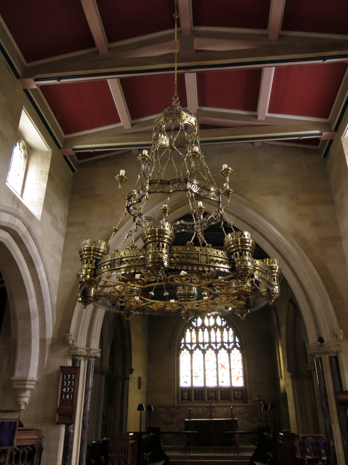
| Large brass oil lamp chandelier |
 |
| Victorian Bier |
There are interesting stone heads to inspect and a beautifully painted ceiling, but eventually we returned to our path.
 |
| Masked face |
 |
| The three 'R's |
We walked away from the church and castle to turn left into field paths at Castle Farm, and walked to the hamlet of Fryton. There is little to see in Fryton and we turned left into Fryton Lane for a long and slow climb up to the woodlands of Fryton Moor.
 |
| Slingsby |
 |
| Field path to Fryton |
 |
| HGV weathervane at Fryton |
 |
| Follow the lane towards Baxton Howe |
 |
The plaque celebrates the finding of a 4000 year old skeleton in a nearby burial henge
|
|
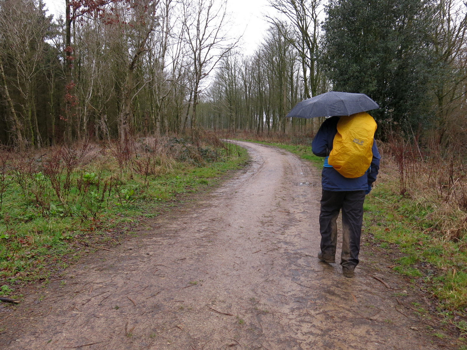
On reaching the trees we turned right where the path leads through trees for a mile and a half. Towards the end of this stretch the path is easily missed because of recent forestry work and concentration is needed. Eventually we turned north to join the straight path that took us back to Hovingham.
 |
| Forest paths |
 |
| We rejoin the Ebor Way |
 |
| Weather vane on outskirts of Hovingham |
Hovingham appeared below us and we walked straight into the village and almost immediately reached the Worley Arms Hotel, whose Cricketers Bar is open all day.
The log fire was stoked in our honour and we sat with a reinvigorating pint to discuss an interesting day's walk.
 |
| Hovingham below |
 |
| Clive veers off-piste |
 |
| Time to get wet inside for a change |


