Nether and Over Silton to Hanging Stone and Oakdale Reservoir
7.8 miles Sunny and warm
A lovely Spring day and the probability of seeing a fine display of daffoldils at St Mary's Church in Silton made us opt for this favourite walk today.
We parked at Square Corner, the moors car park that is two miles from Osmotherley on the Hawnby road.
 |
| Today's walk from The Walker's Guide to the Cleveland Hills |
Leaving the car we walked southwards along the forest path up the shoulder of Black Hambleton.
Just before reaching a gate we saw a standing stone on the left, bearing the inscription 'Cray Hall Stone'. Tom Scott Burns says that he has been unable to find any further information about this old boundary stone or the hall it refers to, and our modern day Google search has proved equally uninformative.
 |
| Walking towards the sun and Black Hambleton |
 |
| Mystery stone |
Just beyond the stone we turned right through a gate giving access to the remains of Silton conifer plantation where the path, known as Moor Lane, took us steadily downhill for about 2.5 miles.
The path re-entered trees where we paused to examine frogspawn before walking through conifers until we came upon the ruins of a lime kiln.
 |
| The remains of Silton Forest |
 |
| Plenty of frogspawn about |
 |
| Moor Lane |
 |
| Old lime kiln on Moor Lane |
As we looked at the lime kiln a lady horse rider stopped to chat and asked where we were walking. She told us that even though she lives in Silton she has never visited the old church but had always meant to do so. She said that a few years ago a village resident had left money for the church to be re-roofed.
A little further along Moor Lane we came to Rose Cottage and then on the right an ancient drinking trough, before joining the lane leading into Nether Silton.
Just as we reached the lane the horse lady came past, now in her van, and stopped to tell us that she had remembered that the resident left money for the church to have electricity fitted but it had been decided to spend the money on re-roofing instead. She was glad she had seen us again as she wanted us to be properly informed!
 |
| Hens and chick weather vane in Moor Lane |
 |
| Moor House |
 |
| We think these are shorn Southdown sheep |
Our path from the village was almost hidden where it leaves the road alongside the old post office, through a white gate at a point opposite the chapel of All Saints.
 |
| Moor Lane |
 |
| The horse rider stops to tell us about St Mary's |
 |
| Novelty flower bed in Nether Silton |
 |
| Cottages in Nether Silton |
 |
| Unmarked white gate leads to our path |
After crossing several fields we came to the ancient and isolated church of St Mary, Over Silton, standing alone in the middle of fields without any path leading to it. As we had hoped, the graveyard was full of daffodils and made a splendid sight.
 |
| Path alongside the old post office |
 |
| Crossing fields with Over Silton ahead |
 |
| St Mary's appears in the distance |
In the above photo we are about to cross Kings Ing Lane. TSB tells us that at this location the Anglo Saxon Chronicle for AD 780 reports, 'the high sherriffs of Northumbria committed to the flames Alderman Bern of Silton, on the 9th day before the calends of January.' It doesn't say what offence the poor alderman had committed.
 |
| A host of golden daffoldils! |
We settled down on the Jubilee bench to enjoy coffee and scones before looking around the church and graveyard.
 |
| Original Norman zig-zag carving |
 |
| Looking towards the altar |
 |
| The rear of the church |
 |
| Altar window |
 |
| Rear window |
There is a mounting block which would prove useful for our horsewoman should she get round to visiting, and some curious gravestones and epitaphs. The bright sunshine showed up a verse on a stone that we hadn't noticed on previous visits.
 |
| In infant years obdurate death, did snatch away their vital breath, and left their parents to complain, 'till with joy they meet in Heaven again |
Another stone opposite the church door must have the longest obituary ever carved, filling both sides.
 |
| 'Can love you hate, can life you kill, Can evil spring from God's good will. This is his will that widowers chaste, Should trust in God and not make haste, Accept those words. Not else I crave. Do not despise a spouses grave. And let me whisper one thing more, you and the children have in store, Treasure of sighs, tears, groans and prayers, Of which you are the rightful heirs. She that in silent dust doth sleep For you to God did often weep. Struggling with God that he might give, you grace in Christ to make you live. Hoping for this she did expire, God will you save, you shall Admire, Our pledges to thy care are given, the choicest gift of kindest heaven, Their father, mother both in thee, United now they nearly see, The soul that hindering wishes to be free, Would yet a train of thoughts impart to thee, But strives in vain the chilling hand of death.' |
We spent nearly an hour at St Mary's, enjoying the peace and sunshine, before setting off once more, leaving the isolated church to cross the field to Over Silton to pass the old manor house.
 |
| "Come on, time to go!" |
 |
| Looking back towards St Mary's Church |
 |
| Pathless walk to Over Silton |
 |
| The Manor House |
 |
| Wombwell coat of arms |
TSB tells us that this was once owned by the gallant gentleman Sir George Orby Wombwell, baronet, who served with the 17th Lancers and took part in the charge of the Light Brigade at Balaclava on 25th October 1854. His horse was shot from under him and he was taken prisoner but escaped on a Russian horse to rejoin his brigade and charge again, without sword or pistol! He managed to continue to cheat death until 1913 when he died aged 81.
 |
| Victorian post box at Nether Silton |
 |
| The old school |
 |
| Turn left at the post |
 |
| Steep climb to Crabtree Bank Plantation |
We turned right and walked beyond the houses to a signpost where the path leaves the road and climbs steeply into Crabtree Bank Plantation.
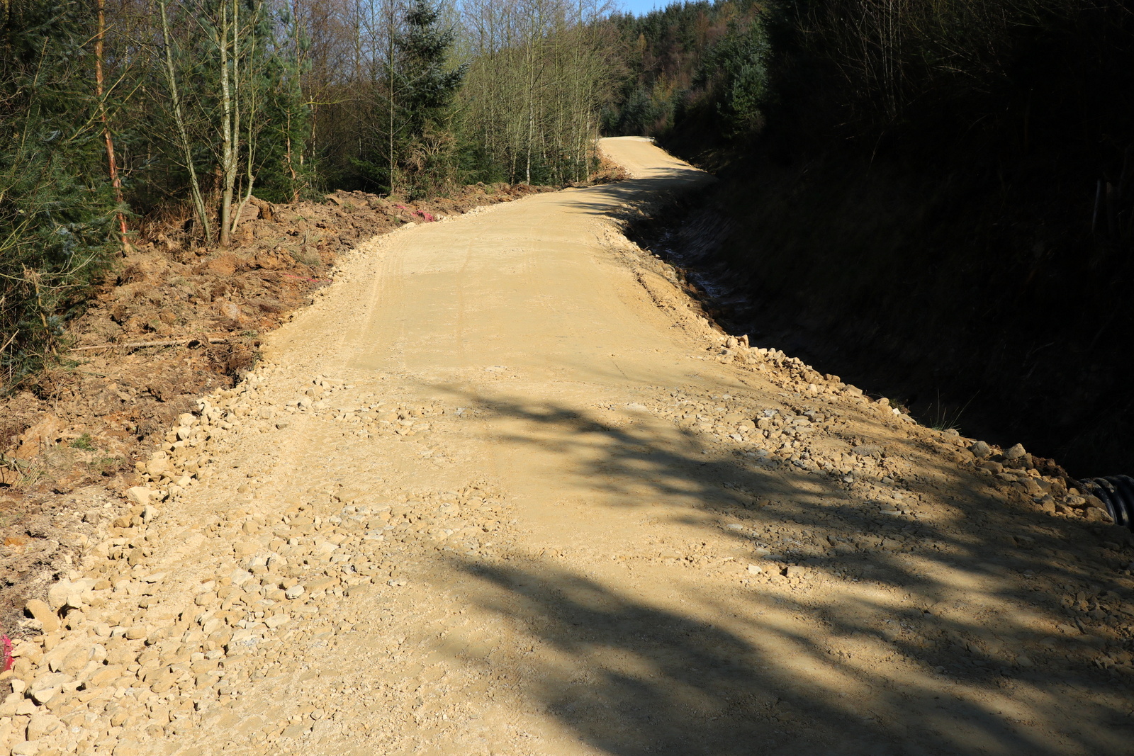
The next 2.5 miles were to be through conifers, sometimes on wide forestry tracks and sometimes on narrow footpaths. On previous walks this stretch has proved very muddy but this year's dry spring and some path improvements meant our boots stayed clean.
 |
| Dry paths |
 |
| Hanging Stone, or Lion Stone |
We passed beneath Hanging Stone, also known locally as Lion Stone. TSB reports that there is a path up to this feature but we have yet to see it among the thick saplings.
 |
| Path 'improvement' at Crabtree Plantation |
 |
| Same path last year |
 |
| Quite a few butterflies about in today's warm weather |
 |
| Osmotherley appears through the trees |
 |
| Yellow waymarks keep us to the track in the woods |
We came to a fork in the path where we turned right through a very muddy entrance and headed immediately upwards. A steep climb took us through the Thimbleby Bank Plantation to emerge at a conifer wood below Thimbleby Moor.
We followed a distinct path into the dense trees of Big Wood and crossed a clearing where felling had taken place, to re-enter dense conifers and follow a way-marked path until we made a slippery descent into Oak Dale.
 |
| Descending to Oakdale and Jenny Brewster's Spring |
 |
| Walking towards Oakdale Reservoir |
Reaching the bottom we exited the trees and crossed a bridge over Jenny Brewster's Gill and emerged from the wood.
Tom Scott Burns explains that Jenny Brewster's Gill was named after a famous witch and was once the haunt of smugglers who peddled liquor to the surrounding villages. Several secret stills were dotted around the moors, one being at Solomon's Temple, another at Wildgoose Nest, near what is now Cod Beck Reservoir and another at Swainsty Crag on Nether Silton Moor.
We now walked alongside Oakdale Reservoir which was built in the 19th century to provide water to the local area but which has now been decommissioned. The reservoir has been downgraded to a small lake that it is hoped will attract wildfowl.
 |
| Oakdale Reservoir |
Leaving Oak Dale we climbed steeply back to Hambleton Road where a brief walk took us back to Square Corner and the car. A short drive took us once again to Osmotherley and the Queen Catherine Hotel, where we reviewed today's walk over a pint of Black Sheep.
 |
| Steep climb out of Oakdale |
 |
| Looking back to Oakdale Reservoir |
 |
| Square Corner ahead! |


