Bank Foot to Upper Baysdale
and Burton Howe
11.3 miles Warm and humid
Looking back I see the last blog for this walk was in Summer 2017 which is a good excuse to revisit one of our favourite Tom Scott Burns longer walks.
We parked at the road side near to Bank Foot Farm, which is approached from the unclassified road between Ingleby Greenhow and Battersby.
 |
| Today's walk from The Walker's Guide to the Cleveland Hills |
 |
| Bank Foot Farm |
Tom Scott Burns relates a grisly event that occurred here on 3rd October 1924. Frank Ward, who lived in one of the railway cottages on the incline, failed to return home after an evening of drinking at the Dudley Arms in Ingleby Greenhow. His daughter Hannah and a neighbour called Medd Carpenter made a search and followed a trail of blood to a haystack at Bank Foot where Frank's body was found, partially concealed. Later that morning the police found Frank's best friend Jerry Dalton, who lived in a cottage near Bank Foot Farm, slumped in a ditch with self inflicted throat wounds. He was subsequently convicted of the murder of his friend and hanged for his crime.
We walked past the farm and immediately started to climb the forestry path towards Turkey Nab noticing a few signs warning against the use of unauthorised 'off road' vehicles. The path appears to have been recently re-surfaced and as we climbed we came to the body of a recently deceased hare. So recent, in fact, it was still warm and had no sign of injury, what could have killed it?
 |
| Lots of foxgloves to be seen today |
 |
| Steep climb up Turkey Nab |
 |
| What killed the hare? |
The name Turkey Nab is believed to be a derivation of Thurkill and Thurkill's hill road, which passes this point on its way to Stokesley from Kirbymoorside, is mentioned in the grant of land to Rievaulx Abbey. Nab is derived from Norse Nabbi meaning projecting peak and Turkey Nab is where the cairns are situated to the side of the rocky quarry cliff that is often used by climbers.
 |
| Walls of a disused sandstone quarry |
 |
| Nearly at the top.. |
 |
| Turkey Nab |
On reaching the top we paused to admire the view and get our breath back. There are fine views over Ingleby Greenhow and Battersby Junction and we picked out familiar land marks before stepping over a chain and following a moor path onto Ingleby Moor.
 |
| Looking down on Battersby Junction from Turkey Nab |
 |
| Looking East from Turkey Nab |
 |
| Step over the chain to continue our route |
 |
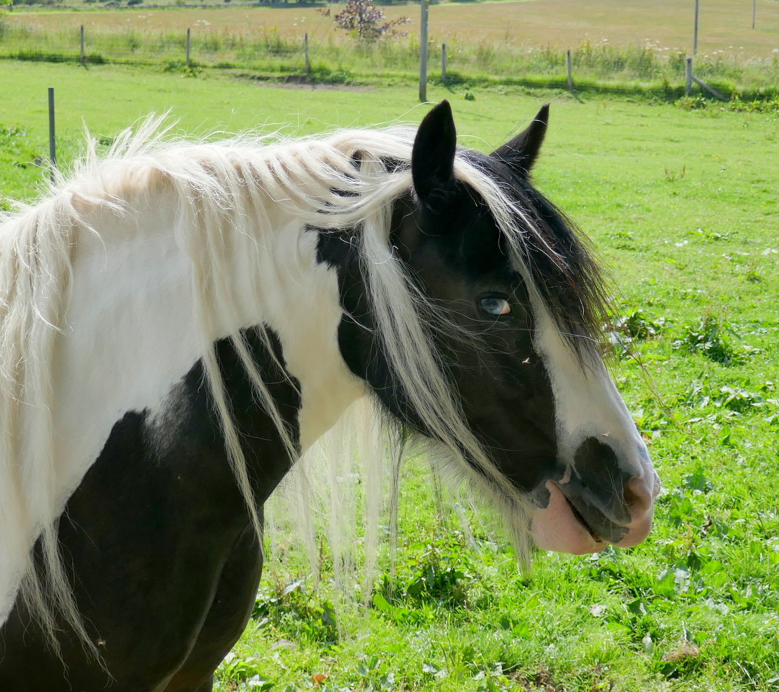
| 'Morning |
Just beyond the Nab we turned left onto a smaller track that leads across Ingleby Moor, crossing Black Beck about a mile further on before a slight climb to bear left onto Middle Head Road. The earlier types of heather are starting to come into bloom and made purple splashes of colour. The still and humid weather made walking a hot business and we were pestered by the flies that this sort of weather brings.
 |
| Quite a lot of early heather in bloom |
 |
| Dropping down to Black Beck |
Shortly after crossing Black Beck we turned left at a junction and turned on to Middle Head Road. A short walk brought us to an interesting group of large boulders known as the Cheese Stones and we walked over to have a better view.
 |
| Walking along Middle Head Road |
 |
| The Cheese Stones |
 |
| Old seating |
 |
| Maurice Close 1928 and then (his son?) B Close 1952 |
 |
| Panorama view of the Cheese Stones |
Continuing along the moor we walked past the remains of a medieval cross and soon looked down onto Baysdale and the imposing building of Baysdale Abbey. We walked through forestry and reached the sheep meadows that slope down to the abbey where we found a suitable soft spot to sit and enjoy our coffee and scones with a fine view. We were serenaded by a wheatear (I think) who sat on a nearby mound and I was able to zoom my camera onto him.
 |
| Continuing along Middle Head Road |
 |
| Baysdale Abbey below |
 |
| We sit and enjoy coffee with a view |
 |
| Wheatear |
We finished our coffee and walked down to the Abbey and its farm buildings.
Tom Scott Burns explains that in the middle ages land rents for Baysdale were paid with the heads of wolves, which were numerous in the area, and it's easy to imagine how wild this enclosed ravine must have been in the 1300s, when cattle were over-wintered in the valley bottom.
TSB explains that Baysdale is derived from Basdale meaning Cow Shed Valley. The Abbey Farm has been renovated and is now marketed as holiday lets and we walked round the building, then followed the yellow way-marks uphill to Thorntree House.
 |
| Baysdale Abbey |
 |
| Approaching Thorntree House |
 |
| Guinea Fowl at Thorntree House |
 |
| Noisy geese guarding Thorntree House |
We passed Thorntree House where we were seen off by noisy geese and dogs, and climbed through a forestry plantation to reach Baysdale Moor and as TSB relates, " an ever-unfolding sea of moorland".
 |
| Climbing through the forestry plantation |
 |
| All today's paths have been freshly re-surfaced |
 |
| Early flowering heather |
We followed the moorland track for about 1.5 miles, turning right just before reaching an old stone shooting box, and our path eventually led us down through the old disused coal pits of Armouth Wath, ('ford at beck's clearing') and across Grain Beck.
 |
| Looking over to the valley of Stockdale from Baysdale Moor |
 |
| Dropping down to Armouth Wath |
 |
| Grain Beck |
 |
| Remains of miners' cottages |
Armouth Wath is a very bleak spot and life in the coal pits must have been hard. Excavation work has been done at the ruins of the four colliery buildings and revealed that the pits were 106' deep.
We left following the colliers' track and a long climb brought us to the Bronze Age tumulus of Burton Howe.
 |
| Turn left for Burton Howe |
 |
| A male grouse runs ahead to distract us from.... |
 |
| ... his family hiding in the heather |
 |
| Burton Howe |
 |
| Burton Howe Tumulus |
There are several tumuli here, apparently dating from 4500 - 1400 BC, some still containing coffins and cremated remains.
Our path now followed the escarpment across the open land of Ingleby Moor, locally known as Siberia, and devoid of interest until we came to a well preserved standing stone near Tidy Brown Hill. We could make out the inscription 'Ingleby and Stoxley' on the front, ' Kirby and Helmsley 1757' on one side and 'Guis Boro' on the other and we were pleased to see that tradition has been maintained and a coin had been left under a loose top stone for the benefit of any needy person who happens by. Strangely, TSB doesn't mention this stone in his walk description.
 |
| View towards Clay Bank from Ingleby Moor |
 |
| A very recent lamb! |
 |
| 'Kirby and Hemsley 1757' |
 |
| 'Ingleby and Stoxley' |
 |
| For needy travellers |
 |
| So that's where they got the new track surface... |
We now had a two mile walk along the escarpment with fine views, heather to our right and the villages of Cleveland below us to the left. We came to a large new quarry which would appear to have supplied the new surface we were walking along.
Alfred J Brown in his book Tramping in Yorkshire, says, "Even the longest ridge must come to an end, and suddenly the road twists, hesitates, and takes the plunge gloriously down Turkey Nab. The Cleveland County is full of 'Nabs' but Turkey Nab will take some beating."