Roseberry Topping, Easby Moor and Captain Cook's Monument from Great Ayton
7 miles Grey and breezy
Yesterday's monsoon-like rain led to us re-rostering to today and attempting to choose a walk that would avoid sodden fields. We haven't done this moor walk for a while and thought it should be reasonable underfoot. This is not a Tom Scott Burns walk although we have no doubt it would be familiar to him.
We parked in Great Ayton conveniently close to the Royal Oak.
 |
| Today's intended route, in fact we turned left to Brookside Farm on our return to Ayton |
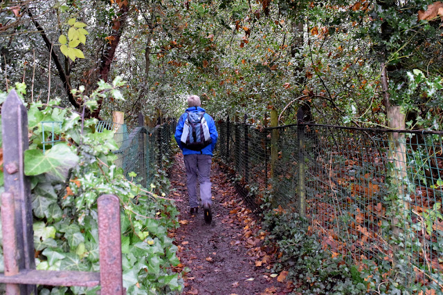
We walked along the High Street to cross the road and enter a track alongside Cleveland Lodge, which was very muddy. We continued through fields to reach the Middlesbrough to Whitby railway line near to Ryehill Farm.
 |
| Leave the High Street at this sign |
 |
| ... and follow the muddy footpath alongside Cleveland Lodge |
 |
| Cleveland Lodge |
 |
| The muddiest bit of the walk, alongside Cleveland Lodge |
 |
| Ryehill Farm crossing |
We walked through farm fields and reached Cliff Rigg Quarry where whinstone was mined until 1973.

Passing old winding blocks

Cliff Rigg Quarry


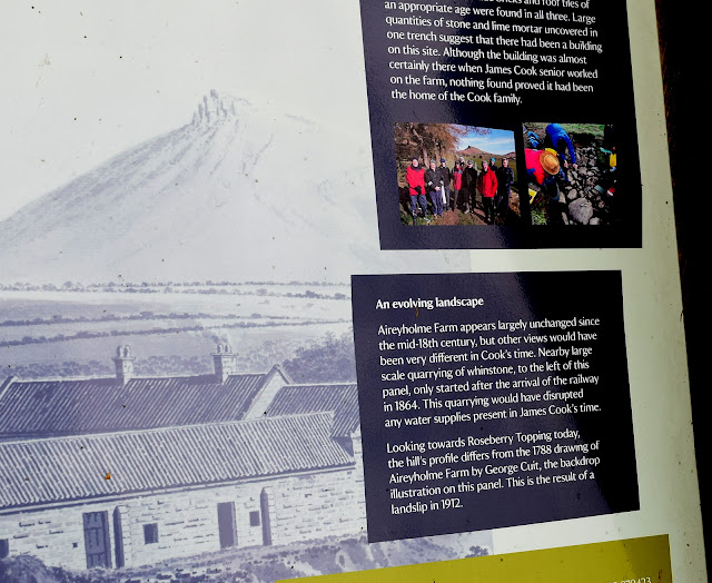
Close to the quarry we were interested to see a new information board near to an archaeological dig that described how Captain Cook's cottage is now believed to have been on this spot.
 |
| New information board |
 |
| New information board near Cliff Rig Quarry |
 |
 |
| Is this the site of Captain Cook's cottage? |
We re-joined our farm track and crossed several fields with Roseberry Topping dominating the skyline, eventually reaching Wilson's Folly, a shooting box on the slopes of Roseberry.
 |
| Wilson's Folly |
 | ||
| Roseberry Topping from Wilson's Folly |
A short steep climb took us to the top of Roseberry where a gale was blowing so strongly that we felt we could be blown off the cliff face. We quickly moved back down out of the wind.
Roseberry is believed to have been held in special regard by the Vikings who settled here and gave the area many of its place names. They gave Roseberry Topping its present name: first attested in 1119 as Othenesberg, (Othenes (personal name) rock, or Odin's rock). The name changed successively to Othensberg, Ohenseberg, Ounsberry and Ouesberry before finally settling on Roseberry, this means that Roseberry Topping is one of only a handful of known pagan names in England, being named after the Norse God Odin.
See: https://en.wikipedia.org/wiki/Roseberry_Topping
 |
| Nearly on top... |
 |
| Blowing a gale! |
 |
 |
| Descending to Roseberry Common |
 |
| Looking back to Roseberry from Newton Moor |
 | |
| Our next target - Captain Cook's Monument |
With Roseberry behind us we headed south towards Easby Moor and Captain Cook's Monument. Our path led us down to Gribdale Gate where a picnic table had been thoughtfully positioned for our coffee stop.
 |
| Descending to Gribdale Gate |
 |
| Trees on Little Ayton Moor |
The tables were out of the wind and we settled down to enjoy coffee and scones al fresco.
 |
| My scone's bigger than your scone.... |
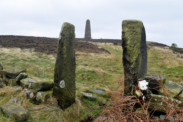
From Gribdale we climbed up towards the monument, stopping briefly to look at a memorial plaque to a British air crew, killed here during WW2. There had obviously been a Remembrance Day visit to the spot, judging by the poppies. Nice that they are still being remembered.
 |
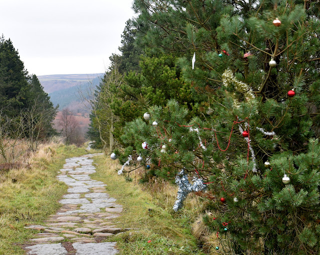
| Xmas decorations...? |
Near to the memorial plaque we were surprised to see someone had decorated two trees with tinsel and baubles. A seasonal thought!
 |
| Xmas Trees at Gribdale |
 |
| Looking back to the first part of our walk |
 |
 |
| Memorial plaque |
 |
| Path to the monument |
 |
| Clive reaches Captain Cook's Monument |
 |
| Plaque on the monument |
 |
| Leaving the monument |
As we reached Dykes Lane we made a decision to stray from our map as we did not want to walk back through the mud we had experienced on our outward journey, near Cleveland Lodge. We turned left just before Dykes Lane into a farm track where there was a Weak Bridge sign, and this led us, via the weak railway bridge, to Woodhouse Farm. The farm now hosts a popular cafe called Fletcher's, which was busy with late lunch guests as we passed.
 |
| Slippery path down from Easby Moor |
 |
| Our outward path from Easby Moor. Cliff Rigg Quarry to the left, Roseberry right. |
 |
| Great Ayton in the distance |
 |
| We go 'off piste' at this point |
 |
| Fletcher's Cafe, Woodhouse Farm |
 |
| Cabaret at Woodhouse Farm |
 |
| Woodhouse Farm building |
 |
| Clive chats with a bull at Woodhouse Farm |
 |
| Weather vane at Woodhouse Farm |
After passing the farm we joined the tarmac lane from Little Ayton and walked into Great Ayton where we were pleased to spot a couple of 'new' weather vanes.
 |
| Weather vane (Captain Cook?) on outskirts of Great Ayton |
 |
| Old business in Great Ayton |
 |
| Weather vane on the undertaker's shop |


No comments:
Post a Comment