Tripsdale to Bransdale from Chop Gate
12.5 miles Hot, muggy and still
It's over two years since I've done this longer walk from Tom Scott Burns' book The Walker's Guide to the Cleveland Hills.
We parked at the free car park in the Village Hall at Chop Gate, booted up and headed south along the grass verge of the B1257.
 |
| Today's walk from The Walker's Guide to the Cleveland Hills |
 |
| Chop Gate Village Hall |
 |
| Turn left off the B1257 at the green footpath sign |
After a couple of hundred yards there is a footpath sign indicating William Beck Farm where we turned left off the road.
A straight walk along the farm track brought us to William Beck Farm, which I used to think was the name of the farmer but turns out to be long established according to TSB, who informs us that in 1160 it was named Willelmesbec.
 |
| Approaching William Beck Farm |
 |
| Weather vane at William Beck |
 |
| Stone badger at William Beck |
 |
| Free range peacocks |
 |
| We've seen a few of these metal fox targets across the moors |
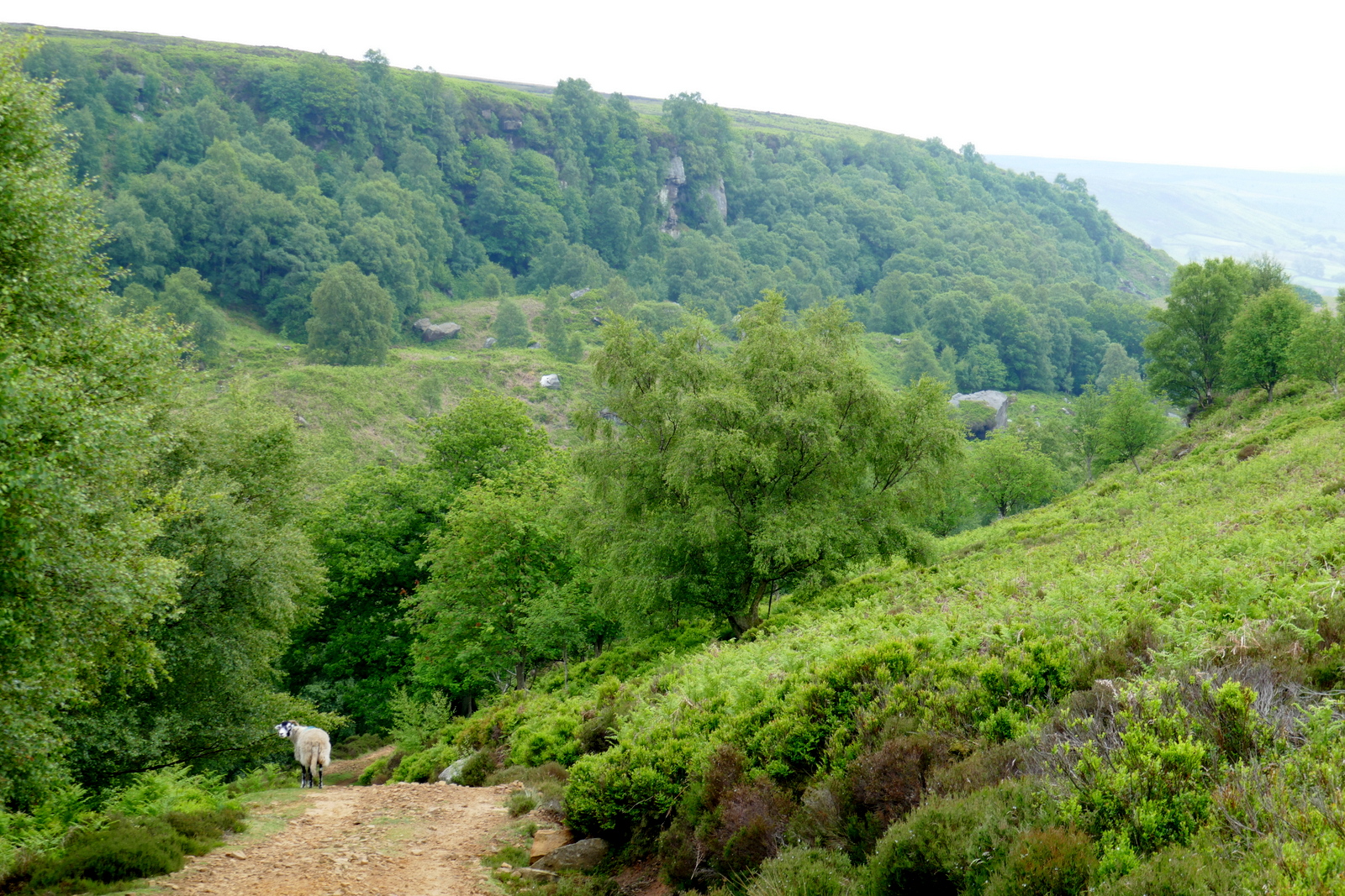
Leaving the farm we climbed steeply to the moor gate. Pressing on we soon dropped down Black Intake into the uninhabited and hidden dale of Tripsdale. Tom Scott Burns tells us in his guide that on the 12th February 1943, during World War 2, a Wellington Bomber returning to Croft after being hit over Holland crashed on Black Intake, killing all six crew. Bits of wire and metal can still be found scattered in the heather.
 |
| Leaving William Beck Farm |
 |
| We climb to Urra Moor top |
 |
| Looking back towards William Beck Farm |
 |
| Our path is along the top of an old Hollow Lane |
 |
| We reach the moor gate |
 |
| Tripsdale appears ahead |
Ahead of us we could see the ugly scar of the shooters' track up the other side of Tripsdale heading towards Bransdale. We crossed the beck and followed the path upwards until reaching the ruins of an old cottage on our right and here we diverted to look at the Ship Stone, so called because the front of the stone looks like the prow of a ship. We passed the ruins and followed a small trail for a hundred yards or so to reach the Ship Stone which looks insignificant as one approaches from its rear but is enormous from the other side. On the stone is a Latin inscription which translates as "All things are full of the Creator. John Hart, a man of Bilsdale 1849".
 |
| Tripsdale |
 |
| Dropping down to reach.. |
 |
| ...Tripsdale Beck |
 |
| We turn off the path.. |
 |
| .. and follow a small trail |
 |
| ..to reach the Ship Stone |
 |
| Carole on top |
 |
| "All things are full of the Creator. John Hart, a man of Bilsdale 1849" |
|
We walked back towards the bulldozed shooters' track passing the ruins of a dwelling which TSB explains was the home of an old cobbler who used to sell clogs and shoes outside the Fox and Hounds Inn at Seave Green on Sundays, as the congregation came down from Urra Church.
 |
| The old cobbler's cottage |
Tripsdale is an intriguing place, much loved by Tom Scott Burns who would camp here to see in New Year and it is here, further along the dale at the Cable Stones, that his memorial plaque is now located.
 |
| TSB's memorial plaque in Tripsdale |
 |
| Clive at the Cable Stones on an earlier visit |
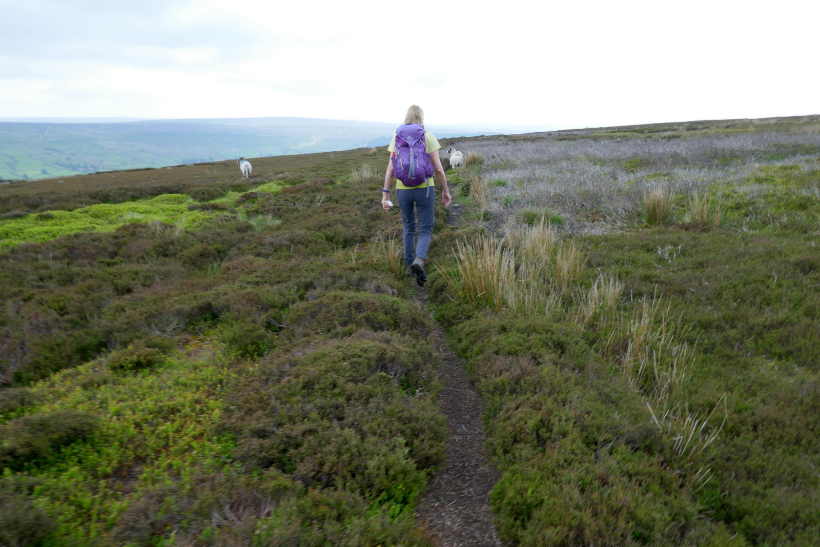
We climbed out of Tripsdale onto Hagg Moor, a 'hagg' being a wood or coppice grown on broken ground, and then crossed Todd Intake Moor. After walking for about a mile we came to two huts on the right hand side. In the mid-90s I took shelter in one of these huts in a storm and found Tom Scott Burns had left leaflets on the table, advertising his Walker's Guides, intended to be picked up by passing hikers.
 |
| Shooters' huts |
 |
| "Come on, slowcoach" |
 |
| Stump Cross |
 |
| Track opposite Stump Cross.. |
 |
| ..soon becomes more distinct |
We continued along the moor track for another mile or so and came to the remains of Stump Cross and, just after, the almost hidden turn off to Bransdale. It is important to note that as soon as you come to Stump Cross you should look to the left for a small, rather insignificant, cairn. The side path we needed was almost invisible at first but there were more reassuring cairns every hundred yards or so proving it wasn't just a sheep track. We soon came to a fine view down into Bransdale.
 |
| Bransdale below |
 |
| Straight over the road following signs |
 |
Colt House Farm
|
The track led us down into Bransdale, crossing a small road, and to Colt House Farm, which is marked as Bransdale Castle on old maps.
From the farm we followed way marks across several fields and descended to reach an old sun dial above Bransdale Mill where we decided to pause for coffee and scones.
 |
| Bransdale Mill in the distance |
 |
| Bransdale Lodge and St Nicholas' Church on the right |
 |
| The sun dial comes into view |
 |
| "William Strickland" |
 |
| Refreshed |
Break over we descended to the old mill, which we understand to be owned by the National Trust, and which seemed deserted today. On the front of the building is an inscription stating that it had been rebuilt in 1842 and the wall ties 'W' and 'S' stand for William Strickland who rebuilt the mill after moving from Farndale. Round the back we saw a Greek inscription which was apparently the work of Strickland's son, who became curate at Ingleby Greenhow and is responsible for a number of inscriptions in the area. TSB says that this one means, "Rejoice evermore Pray without ceasing. In everything give thanks."
 |
| Bransdale Mill |
 |
| "Rebuilt 1842" |
 |
| Hebrew, Greek and Latin |
After looking round the mill we began the long steep climb out of the dale which brought us first to Cow Sike Farm and then past a conifer plantation, eventually leading to the ancient roadway of Rudland Rigg. This runs from Kirby Moorside to Turkey Nab above Ingleby Greenhow. Walking along Rudland Rigg we had a fine view down into Bransdale and a nice view of imposing Bransdale Lodge and the nearby church of St Nicholas at Cockayne.
 |
| Starting a long climb |
 |
| A shady spot for some |
 |
| Getting hotter |
 |
| Nearly at the top! |
 |
| Looking down to Bransdale |
 |
| Zoom photo of Bransdale Lodge and St Nicholas' Church |
Marching along Rudland Rigg we came to a large standing stone which TSB says was 'erected by primitive hands'. This is known as the Cammon Stone, derived from the celtic 'cam' meaning 'bank stone'. On the front is a Hebrew inscription which translates as "Hallelujah", and is almost certainly the work of Emmanuel Strickland from Bransdale Mill.
 |
| Rudland Rigg |
 |
| Carole reads the Cammon Stone |
 |
| A coin for poor travellers |
 |
| "Hallelujah" |
Rudland Rigg took us to the old Rosedale Railway track at Bloworth Crossing and the Cleveland Way. We left the railway shortly after, heading west to Botton Head, the highest point of the North Yorkshire Moors, at 1500 feet.
 |
| The old railway line to Rosedale |
 |
| Following the Cleveland Way |
 |
| The Face Stone |
 |
| Trig point at Round Hill |
 |
| The aptly named Hand Stone |
Just past the Hand Stone we turned left off the Cleveland Way to join a track that would drop us off the edge of Urra Moor past Bilsdale Hall and down into Seave Green.
 |
| Seave Green appears below |
 |
| We leave the moor |
 |
| Bilsdale Hall |
Passing the houses of Seave Green we rejoined the B1257 and walked through Chop Gate and past the Buck Inn where our walk would have ended in more normal times, soon reaching the Village Hall and our car.
 |
| Hot tarmac |
 |
| Oh, woe! |
 |
| The hikers' reward |


No comments:
Post a Comment