Exploring Scugdale from Carlton Bank
7 miles Cold and wet
We drove up the steep hill on Alum House Lane, the Carlton to Chop Gate road, and parked at Lords Stone Cafe where parking is allowed during cafe hours.

Today's walk from The Walker's Guide to the Cleveland Hills
Leaving the car park we walked back along the Carlton road for a few yards until we reached a Cleveland Way sign. Here we turned left off the road and almost immediately turned right off the Cleveland Way to follow the wide access road for the old Gliding Club (now demolished) steadily uphill.

Turn off the road at the sign

Follow the old gliding club access road

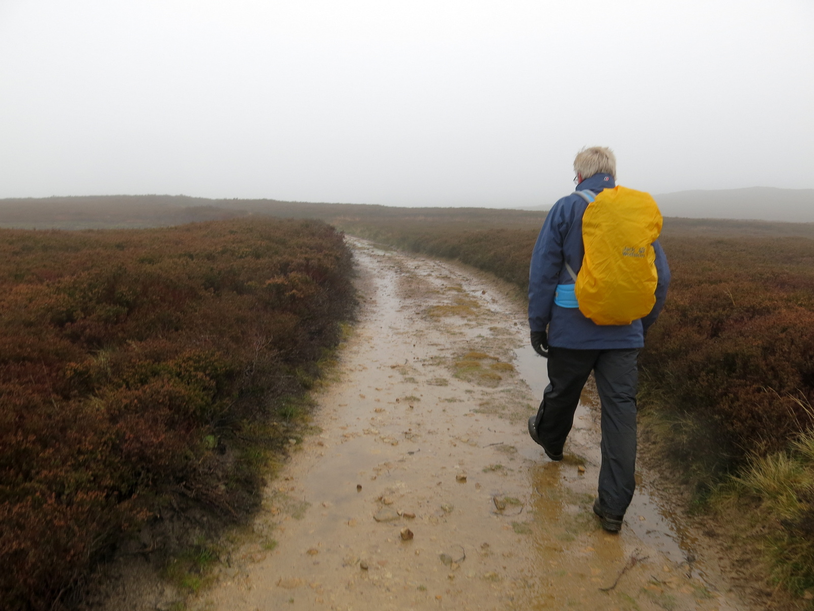
Looking back, Cringle Moor has disappeared in mist
Reaching the moor top we turned left off the access road where a footpath sign indicated our track across the heather. The first feature one comes to on this path is the rocky outcrop of Stone Ruck. Tom Scott Burns explains that Ruck is derived from the Old Norse bruga meaning 'to pile or heap up', as in a cairn.

Leaving the access road
A dreich day

Stone Ruck
We followed the path for a mile or so across the moor until we came to Brian's Pond, where we pondered on its unusual name. Did Brian drown there or did he once own it? The name's origin seems lost in time and my previous efforts with books and Google have come to nought.

As Bilsdale comes into view...

... so too does Brian's Pond

We continued on our way climbing steadily over Clough Gill Top, where a signpost indicates a choice of routes. We took the right fork that ascends steadily to the moor rim where we suddenly came upon the valley of Scugdale. To our right were the rocks of Barker's Crags and below us the buildings of Scugdale Hall, barely visible through the mist and rain.

Bear right at the sign...

... and follow the path to Scugdale

Scugdale Hall below

Looking north towards High House

Stony Barker's Crags to our right
TSB refers to Scugdale as 'the sheltered dale' from the Danish skygger - to overshadow.
We descended across a couple of fields to reach the dale road where we turned left to walk towards the top of the valley and High House. Cattle have been turned out to graze freely in the north of the dale and the dales road has suffered consequently, as have all parts of the valley down to Scugdale Beck which has formed a barrier to them. Over the years the dales road has been strengthened with stones, tarmac, pottery and bricks and we found several old bricks embedded in the lane bearing the name Old Linthorpe.

We saw several Linthorpe bricks embedded in the road surface

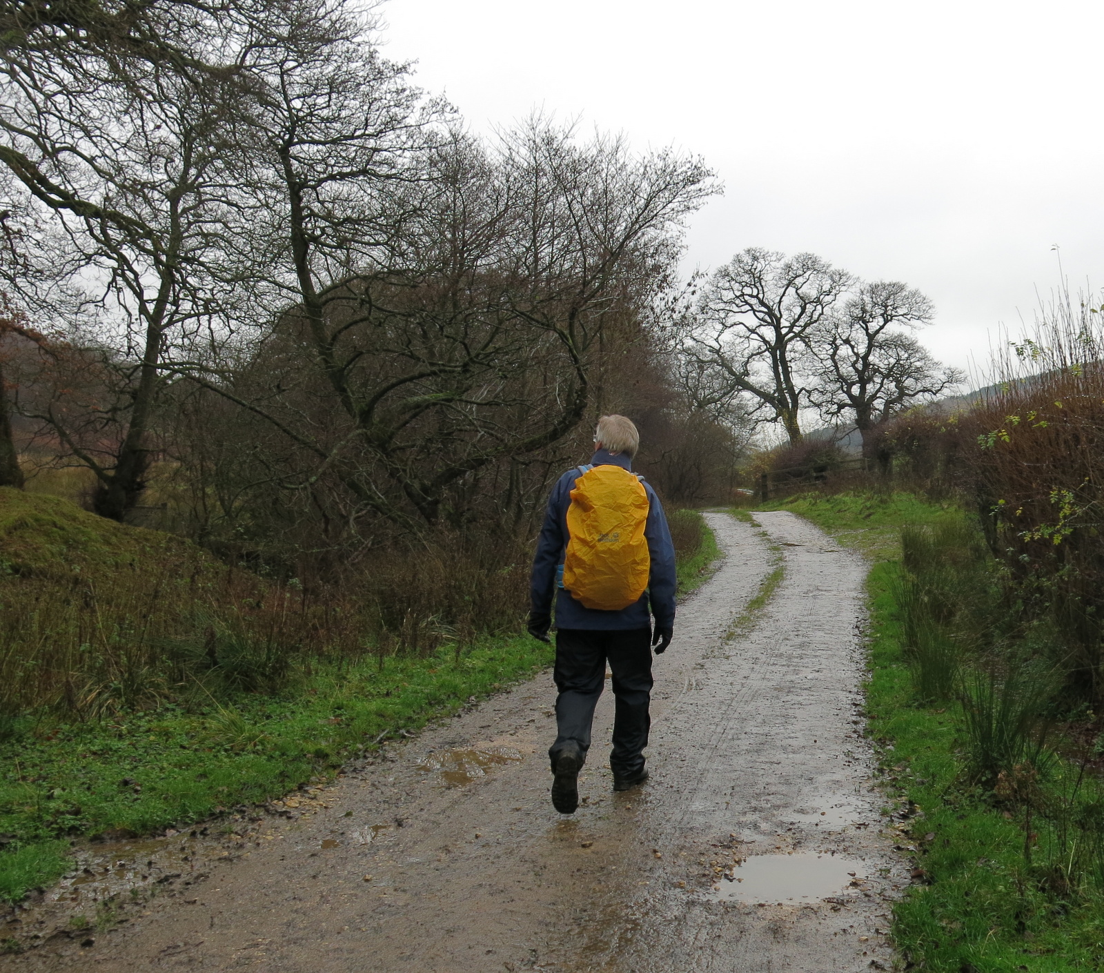
The dales road
A google search shows that these bricks were manufactured by a George Grubb Dalton, Brick Manufacturer, Builder & Contractor, Linthorpe, Middlesbrough, who is recorded in the London Gazette as giving Notice of Intended Dividends on the 13th November 1888.
We followed the dales road south to reach High House. TSB records that in this old farmhouse lived Harry Cooper who was reputed to be the tallest man in the world, standing at 8'6". He left Scugdale to join Barnum's Circus in America and died in 1898 at the age of 41.
The house is currently unoccupied and its outbuildings falling into ruin. We looked round and saw that the conservatory would make a nice shelter while we enjoyed our coffee and scones. We saw the floor was covered with old sheep droppings, someone must have left the door open at some time, but nevertheless we were very grateful to get out of the rain for a while.

High House

Ruined outbuildings at High House

Looks promising!

Shelter from the storm

Signs of happier days at High House

Just beyond the house we turned right off the lane into fields at a dilapidated stile. This part of the walk appears untrodden but there are guiding way-marks at field boundaries and we descended to reach and cross Scugdale Beck where we found (as on our previous visit) the old bridge that continues to serve no useful purpose, having been displaced by winter storms some years ago. As we walked we listened to the sound of gunshot lower down the dale.

Rickety and slippery stile next to High House

Safely over and we start the descent

Keep an eye out for signs which are...

.... necessary as there are no tracks...

.. and they will guide you to...

... the well hidden crossing place


You must first cross the stream to reach the bridge!

This bridge has been 'beached' for at least six years
After crossing the beck we climbed up a steep bank to join the faint path that takes one down the valley of Scugdale, walking under old alum workings. Our walk was accompanied by the bangs of guns and loud bellowing from a herd of hardy cattle on the other side of the beck.

Follow the yellow way-marks

Looking back at High House

Free range cattle in southern Scugdale
As we approached Holiday House farm dogs joined in the chorus and we saw that quite a number of dogs are being kept in pens around the farmhouse. Directly opposite Holiday House is Scugdale Hall.

Approaching Holiday House Farm

Holiday House

We are 'seen off' at Holiday House

Scugdale Hall from Holiday House
Holiday House was shown on 1940's maps as such. It seems a strange name and we would like to know why it is so called.
We followed the farm track down and reaching the tarmac road met the shooters, busy loading their 'bag' into their transport. We stopped and chatted for a while and they told us that today (Thursday) was their first day of sport since the lockdown ended. Some thought it would have been legal to shoot yesterday but they had decided to wait until today to be sure. We all agreed that these are strange times.

Sheep grazing on a spoil hill
"The shooting's stopped!"

Unlucky pheasants in Scugdale
Saying cheerio to the shooters we walked north for a mile or so to reach the farm buildings of Fog Close. Here we turned right into the farm's track (footpath sign missing), and then right again through a gate, also unsigned, before reaching the farm buildings. Here we turned left to walk up the side of the farm towards Live Moor, fianlly coming upon a waymark.

Leave the road at Fog Close Farm

Looking back at Holiday House from Fog Close Farm

Fog Close Farm

A muddy path but a way-mark at last

We reach Live Moor and pause to look back into Snotterdale
We followed the escarpment with a misty view down into the charmingly named and little known valley of Snotterdale, to which there is no road or path access.

Snotterdale

Snotterdale Plantation

Where Snotterdale meets Scugdale
Opposite a conifer plantation the path turns left across Carlton Moor where we were soon walking on the old gliding station runway, before crossing to join the Cleveland Way/Coast to Coast walk that follows the ridge with spectacular views all the way to a trig point at 1338 feet.

Turn left onto Carlton Moor opposite the plantation

Clive about to meet the old glider runway

We reach the Cleveland Way footpath and look down on Whorl Hill

Follow the footpath along the ridge...

... with hazy views of Carlton below

The weather station probably provided information to the now defunct Gliding Club

Trig Point on Carlton Moor

Immediately after the trig point we started the steep descent to the road and our cars at the Lord Stones Cafe. We agreed this was an interesting and stimulating walk despite the poor weather.


Descending from Carlton Moor
No comments:
Post a Comment