The lost village of Pinchinthorpe from Newton
7 miles Sunny with cold wind
Clive is busy today so I am supervised by my wife on this pleasant and undemanding walk that will neatly fill the quiet gap between Storm Dudley and Storm Eunice.
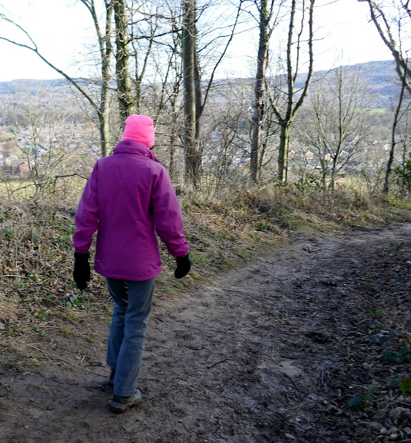
We parked in the lay-by at Newton under Roseberry and walked through the village past the King's Head pub to the pay and display car park at the other end of the village. Our track up Roseberry Lane leaves the main road just before the car park and goes directly towards Roseberry Topping, which dominates the skyline.
 |
| Today's route from The Walker's Guide to the Cleveland Hills |
 |
| The King's Head, Newton |
 |
| The Old Village Hall |
 |
| Turn left into Roseberry Lane at the footpath sign |
We followed the path up to Roseberry Common then turned left and after leaving Newton Wood, we bore right uphill along Brant Gate path. Reaching the top at Roseberry Common we turned left again and walked towards Hanging Stone Wood.
We turned left before reaching Bousdale Hill and walked along a broad footpath until we came to a gate on our left, which we went through to enter a field, and then right to join another path on reaching the bottom of the field.
Following our path across more fields led us to Bousdale Farm and we passed by the front of the buildings which appear unoccupied while renovations are being carried out. These renovations seem to be long term and little has changed since spring of 2018 when we last came by.
Tom Scott Burns explains that Bousdale Farm was built to house Sir Joseph Pease's thoroughbred hunters. There was no water supply so Pease introduced a syphon system using a huge boiler which had done service in the first steamship that berthed in the Tees.
The old stables are an interesting design and it looks as if they are also being converted, perhaps into holiday homes.
 |
| Roseberry Topping from Rosebery Common |
 |
| The top of Brant Gate path |
 |
| Turn left at the sign |
 |
| ...and follow the broad path towards Hanging Stone Wood |
 |
| ... but turn left through the gate before reaching the wood |
 |
| Bousdale Farm |
 |
| Old stables, now holiday homes |
After the farm the path crosses a field before following the field edge until a forestry track is reached. This gently descends to meet the old disused railway track to Pinchinthorpe station.
Warmed through and fully refreshed we set off once more along the disused railway track that once took trains from Middlesbrough to Guisborough. We passed by the old station and as we walked along the track had a fine view to Roseberry Topping on our left.
 |
| Walking with the railway line just to our right |
 |
| Leave the railway at the stile and walk diagonally across the field |
 |
| Now walking straight towards Roseberry Topping |
 |
| Gated bridge over Nunthorpe Main Stell |
The word stell is used locally to describe man made ditches used to drain marshy ground and an internet search finds it probably has Saxon roots: Stell - North German: topographic name for someone who lived near a marsh, from an old dialect word stel ‘bog’, where the land was built up on mudflats (behind the dyke) for cattle grazing.
After crossing the bridge we made our way over a field to Snow Hall Farm. TSB thinks this unusual name might relate to Ann Snowdon who lived there in the 1890s.
Approaching the farm we were surprised and delighted to see our first lambs of the year.
 |
| Main Stell |
 |
| Stell near Snow Hall Farm |
 |
| The right of way leads through the farmyard |
 |
| In for the winter |
 |
| Early lambs |
 |
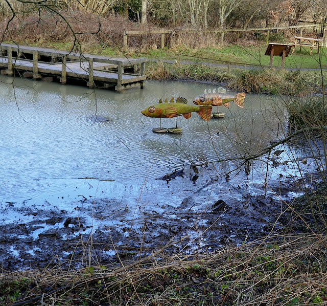
| Pond at Snow Hall Farm |
 |
| That's tea sorted |
 |
| Roseberry now dominates the skyline |
 |
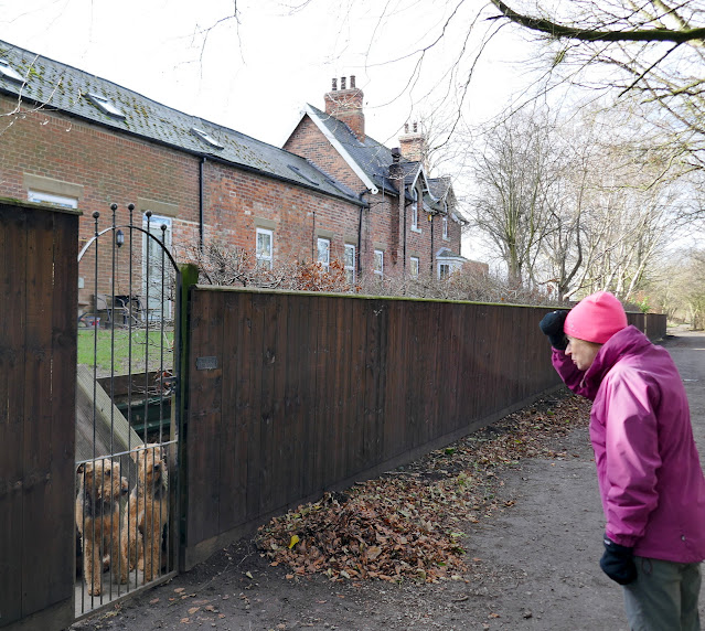
| We attract attention |
 |
| "Run! They're coming this way!" |
The lane quickly leads from Snow Hall Farm to Newton and the ancient St Oswald's Church. We had a look around the walls of this interesting old building and admired the Anglo-Saxon carved stone set in the tower of the church showing a dragon and some sort of quadruped. Tom Scott Burns says that this stone was actually described in an eleventh century book called 'Bestiaries'.
TSB notes that until the dissolution of the monasteries this church was run by the monks at Whitby but was made a parish in 1539.
There were some ancient gravestones, some too old to read but we were disappointed to find the church locked.
 |
| St Oswald's Church, Newton-under-Roseberry |
 |
| Ancient stone coffin |
 |
| Saxon carving (see below) |
 |
| An 'impost block' is the stone between a column and the arch that it supports |
Leaving the church we walked back through the village to the layby and our car.
This is one of Tom Scott Burns's most straightforward walks and is ideal when time is pressing or the weather makes the hills a less attractive proposition.


No comments:
Post a Comment