Eskdale, Danby Dale and Westerdale
8 miles Fine and warm
This moorland walk that visits the secluded village of Westerdale is not a Tom Scott Burns walk but is across an area he will have known well. The walk starts at Castleton then progresses through Eskdale and Danby Dale before branching off to Westerdale.
We approached Castleton from the Whitby Moors road and parked at a designated parking spot just outside the village, as shown on the map below.
 |
| Today's walk, GPS track available on request |
 |
| Walking from the car park towards Castleton |
Castleton takes its name from the castle which stood on Castle Hill from 1089 to the 15th century, and is situated along the end of Castleton Rigg, an outcrop of Danby Moor.
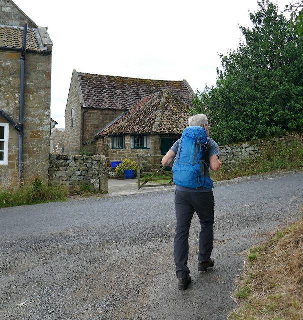
Leaving the car we walked straight downhill towards the village and after a couple of hundred yards we turned right at the Esk Valley Walk sign, into the farm track for Didderhowe Farm.
 |
| Turn right here into the farm lane |
 |
| Interesting Landrover conversion at Didderhowe |
 |
| The path is across green meadows |
 |
| Didderhowe Farm |
As we followed the path towards the valley bottom we saw the tower of a secluded church to our left, this is St Hilda's, the parish church of Danby, although it is situated a couple of miles from the village. We decided to walk over for a closer look.
 |
| The fish is the symbol of the Esk Valley Way |
 |
| We head down towards the valley bottom |
 |
| Through the gate and across the field... |
 |
| ..to St Hilda's. |
 |
| Unusual outside staircase catches our eye |
Literature at the church informed us that the church tower was built in the 14th century and a balcony which houses the organ was added in 1808. In the 1800s the vicar of Danby was a Daniel Duck (1743-1825) and on his death someone scratched on the back of a pew,"Yes Daniel, faithful Daniel – gone / We faithful few lament their loss / No more we fix our eyes upon / That Zealous preacher of the cross." Even graffitti was more literary in those days!
 |
| Inside St Hilda's, showing the organ and balcony |
 |
| Old head, possibly Saxon |
 |
| 'To mansions of the glorious blest, A wife and mother gone to rest, We'll not repine it's Jesus call, Though sad on us bereavement fall' |
The isolated church is a peaceful spot but we had to press on and left the church via the graveyard and a steep descent to Danby Dale.
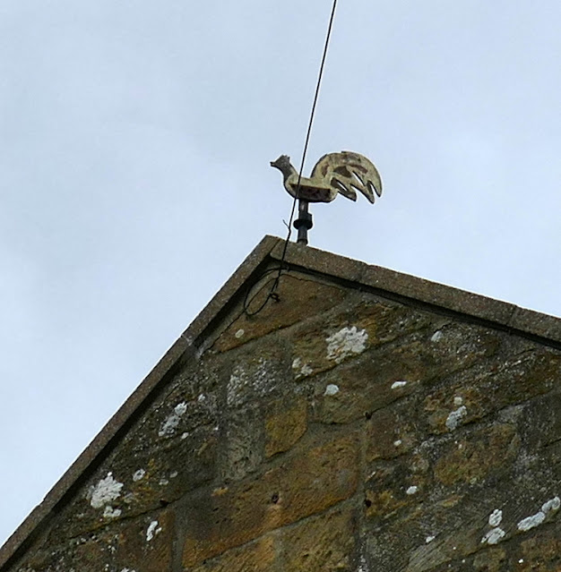
Back on our route once more we followed the farm track to West Green Farm where I admired its dog weather vane before marching on to Plum Tree Farm, a building more plain than its name suggests.
 |
| West Green Farm weather vane |
 |
| Danby Head |
 |
| Descending into Westerdale |
 |
| View with our coffee |
We descended steeply to Dale Head Farm where, at the rear we were interested to see a strange stone building that apparently was a Bee House. This was built in 1832 to house the straw bee hives or 'skeps', as they were called at the time. We were impressed to see that even as lowly a building as this Bee House features decorative cornices.
 |
| Dale Head Farm |
 |
| The Bee House |
We turned right just beyond the Bee House and walked across several more fields to Broad Gate Farm. We followed the farm track and passed through a tiny stile set in the wall, crossing a field to reach a seven step stone stile which required concentration to get across.
 |
| Walking in Westerdale |
 |
| Broad Gate Farm |
 |
| Old stone stiles |
 |
| The metal gates keep the sheep off the stiles |
Across a field and over another step stile and we were entering the tiny village of Westerdale. We walked along the street and stopped to admire Christ Church but were unable to enter as a wedding was taking place.
 |
| The rooftops of Westerdale appear ahead |
 |
| Welcome to Westerdale |
 |
| Church House, Westerdale |
 |
| Christ Church, Westerdale, busy today |
We walked through the village and down to the River Esk where we stopped to look at its ancient bridge, restored in the 1800s.
 |
| Hunter's Sty Bridge |
 |
| Across the River Esk |
This bridge is Hunter's Sty Bridge and is a single span medieval bridge which was restored by the Duncombe family in 1874. It dates from the 13th century and Hunter's Sty means Hunter's Steep Path, and was built to provide access to the Royal Forest of Pickering.
Continuing along the road we climbed steeply out of the village to reach Little Hograh Moor where we turned right to cross Westerdale Moor. Here I was interested to see a brightly coloured sign for Crown End. Although we're not sure who put the sign here or why, it identifies the beginning of a 'stone row', a Megalithic arrangement of standing stones probably for religious reasons or perhaps marking a processional route. Many of the stones are barely visible in the heather at this time of year. See here for more details
 |
| The sun comes out and so does Clive's unusual headgear |
 |
| Megalithic standing stone |
We followed our path above New Road and Dibble Bridge Farm and dropped down from Westerdale Moor to cross an un-named spring near Carr House. We crossed New Road and climbed back up to the car park on the Westerdale road and the end of our walk.
 |
| Descending to cross unnamed spring near Carr House |
 |
| Climbing back to Westerdale Road and the car park |
We drove the short distance to the Eskdale Arms in Castelton and were soon relaxing in the beer garden discussing today's enjoyable summer walk.
 |
'To summer walks!'
|


No comments:
Post a Comment