Eskdale, Danby Dale and Westerdale
8.5 miles Fine and warm
This moorland walk that visits the secluded village of Westerdale is not a Tom Scott Burns walk but is across an area he will have known well. The walk starts at Castleton then progresses through Eskdale and Danby Dale before branching off to Westerdale.
We approached Castleton from the Whitby Moors road and parked at a designated parking spot just outside the village, as shown on the map below.
 |
| Today's walk - GPS track available on request |
 |
| Castelton from the car park |
Castleton takes its name from the castle which stood on Castle Hill from 1089 to the 15th century, and is situated along the end of Castleton Rigg, an outcrop of Danby Moor.
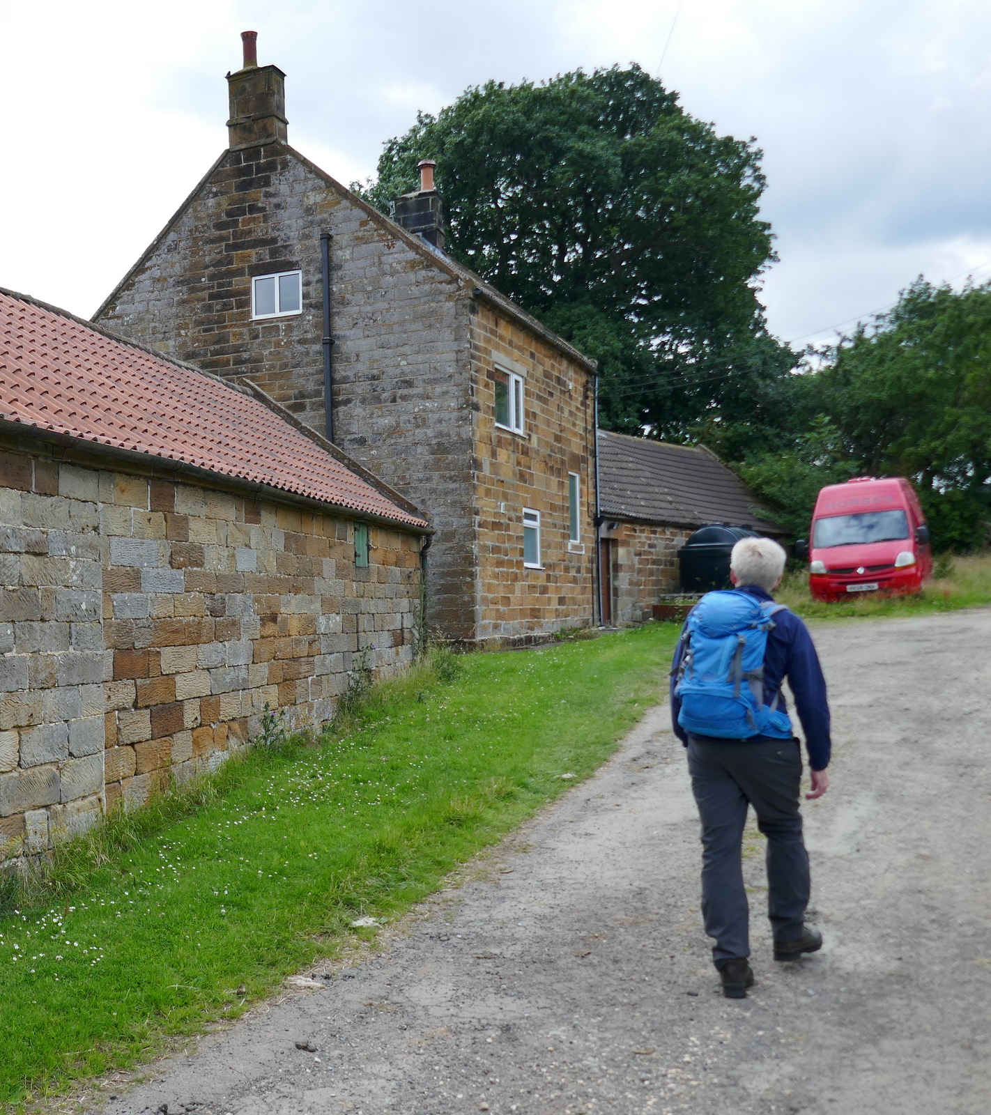
Leaving the car we walked straight downhill towards the village and after a couple of hundred yards we turned right just past an old Quaker graveyard, into the farm track for Didderhowe Farm.
 |
| Quaker graveyard |
 |
| The wall protects the Quaker graveyard |
 |
| Descending to Didderhowe Farm |
 |
| Passing through the farm buildings we see... |
 |
| Ducklings |
 |
| Two hen ducks and their ducklings |
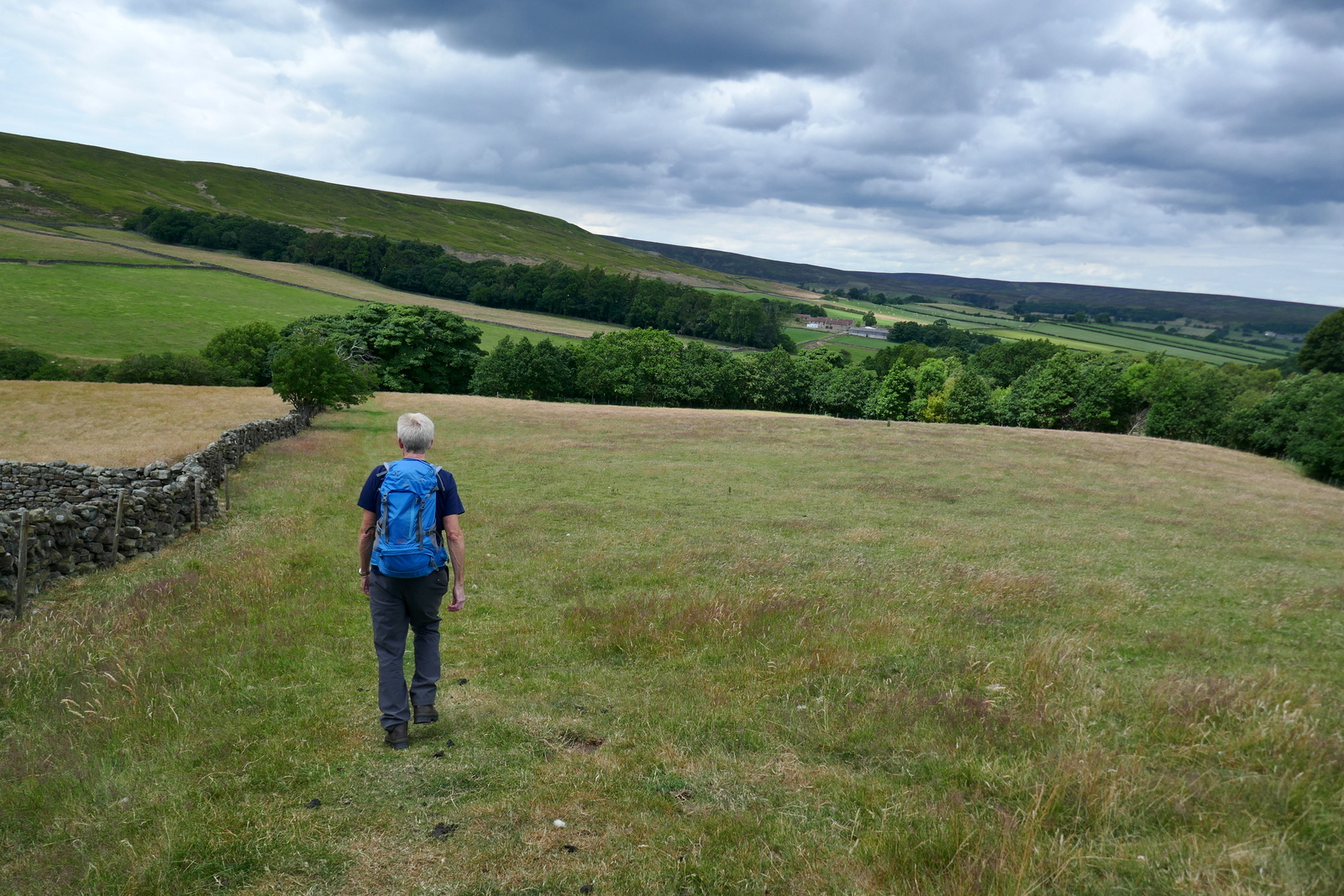
Leaving Didderhowe Farm we followed the path towards the valley bottom where we saw the tower of a secluded church to our left. This is St Hilda's, the parish church of Danby, although it is situated well outside the village. We decided to walk over for a closer look.
 |
| We are following the Esk Valley Walk |
 |
| We notice the sweet sickly smell of Meadowsweet |
 |
| Meadowsweet, once used to flavour beer and as an air freshener in musty houses of old |
 |
| Nursery spiders nest |
 |
| Turn left at the road... |
 |
| .. and walk uphill to reach St Hilda's Church |

 |
| Note the unusual outside staircase |
St Hilda's was locked. We seem to be coming across this often, prior to the pandemic our churches were invariably open to visitors. The photo of the inside of the church is from an earlier visit.
 |
| Inside of the church showing the balcony |
 |
| Stone head, possibly Saxon |

On our last visit literature at the church informed us that the tower was built in the 14th century and a balcony which houses the organ was added in 1808. In the 1800s the vicar of Danby was a Daniel Duck (1743-1825) and on his death someone scratched on the back of a pew , "Yes Daniel, faithful Daniel - gone / We faithful few lament their loss / No more we fix our eyes upon / That zealous preacher of the cross" Even graffitti was more literary in those days.
We left the church by the graveyard gate which opened onto a steep descent into Danby Dale. At the bottom of the field was a herd of cattle and we thought we might bypass them to exit the field. We started to walk down and, spotting us, they started to walk up... then they started running up. We turned and just made it back to the gate ahead of the beasts, a herd of frisky young bullocks. "They're just curious" said Clive but we decided the best course of action was to retrace our steps back into Danby Dale even though this would be a longer way round.
 |
| There's some cattle down there, miles away though.. |
 |
| We'll just walk round them and hop over the fence.. |
 |
| Bullocks can run very fast |
 |
| I think we'll go back the other way.. |
We returned to the Esk Valley Way and soon reached West Green Farm and then Plum Tree Farm, whose name is prettier than the building.
 |
| West Green Farm disappearing under summer foliage |
 |
| Plum Tree Farm |
 |
| Dovecote dated 1810 at Plum Tree Farm |
 |
| On the Esk Valley Way |
We continued following the Esk Valley Way along Danby Dale to pass West Cliff Farm and its peacocks, then Blackmires Farm before reaching Stormy Hall Farm. Here we turned right onto tarmac, to climb steeply out of the dale.
 |
| Overgrown path, doesn't anyone walk the Esk Valley Walk these days? |
 |
| West Cliff Farm |
 |
| .. and peacocks |

 |
| Geese at Blackmires Farm |
 |
| Blackmires Farm |
 |
| Peacocks everywhere |

 |
| Stormy Hall Farm |
 |
| Looking back into Danby Dale |
 |
| Nearly at the top |
 |
| Old quarry and Clive looks down to Botton village |
 |
| View with our coffee |
Superb views of Danby Dale opened up as we climbed and we paused several times to admire the view before reaching an old quarry where we stopped for coffee and scones with a fine view over towards Botton village and Danby Head.
Coffee finished we crossed the main road to follow a footpath across Castleton Rigg. Here we paused again to take in the fine view and pick out our two immediate objectives below, Dale Head and Broad Gate Farms.
 |
| Danby Head |
 |
| Crossing to Westerdale |
 |
| Descending into Westerdale |
 |
| Approaching Dale Head Farm |
Dale Head Farm is beautifully kept and home to an unusual feature built in 1832, a stone shelter for bee skeps. In the old days bees were kept in a straw skep and by placing them in the stone shelter they would remain dry in bad weather.
 |
| Dale Head Farm |
 |
| The Bee House |

We turned right just beyond the Bee House and walked across several more fields to Broad Gate Farm. We followed the farm track and passed through a tiny stile set in the wall, crossing a field to reach a seven step stone stile which required concentration to negotiate.
 |
| Look out for yellow snecks on new gates. They replace the old yellow Waymark sign. |
 |
| Broad Gate Farm |
 |
| .. and its duck weather vane |
 |
| Red Admiral, lots of butterflies out today |
 |
| Step stile |
 |
| The fence is to stop sheep climbing the steps |
After crossing another field we entered the small village of Westerdale. We were disappointed to find its church, Christ Church, was also locked.
 |
| Welcome to Westerdale |
 |
| Houses in Westerdale |


 |
| Christ Church |
 |
| The arched stone above the date is 12th century |

 |
| Grave slabs, probably Knight Templar |
 |
| Unusual amenity these days |
We left the church to follow the road through the village and were impressed by the unusual design of Westerdale Hall, originally a hunting lodge. The hall is built on the site of fortifications used by the Knight Templars and after WWII it became a youth hostel but is now in private hands again.
 |
| Westerdale Hall |
 |
| The hall from the rear |
We walked back through the village and down to the River Esk and its ancient bridge, restored in the 1800s. This is the Hunter's Sty Bridge, a medieval bridge dating from the 13th century. Hunter's Sty means Hunter's Steep Path, and it was built to provide access to the Forest of Pickering..
 |
| Clive on Hunter's Sty Bridge |

 |
| Hunter's Sty Bridge |
Continuing along the road we climbed steeply out of the village to reach Little Hograh Moor where we turned right to cross Westerdale Moor. Here we saw a brightly coloured sign for Crown End. We don't know whether this is an official sign or not but it identifies the beginning of a 'Stone Row', a Megalithic arrangement of standing stones. Most of the stones are now lost amongst the heather.
See here for more details.


A short drive took us to the Eskdale Hotel in Castleton where we sat in their beer garden and discussed this lovely, easily navigated summer walk.
 |
| Curlew |
 |
| Turn right off John Breckon Road |
 |
| Westerdale below |
 |
| Oak Eggar moth caterpillar |

 |
| Standing Stone |
We dropped down from Westerdale Moor to cross an un-named spring near Carr House. We crossed New Road and climbed back up to the car park on the Westerdale road and the end of our walk.
 |
| Dropping down to cross Whyett Beck |

 |
| The bridge over Whyett Beck |
 |
| Climbing up Rigg End |
 |
| Car park ahead and the end of the walk |
A short drive took us to the Eskdale Hotel in Castleton where we sat in their beer garden and discussed this lovely, easily navigated summer walk.
 |
| To Westerdale! |
No comments:
Post a Comment