Wass to Cockerdale and Byland Abbey
7 miles Fine and dry
We approached Wass from the A19 Thirsk turn off, via Coxwold, and parked in the village hall car park near to the tiny Church of St Thomas.
 |
| Today's walk from The Walker's Guide to the Hambleton Hills |
 |
| Free parking at the village hall |
The church was unlocked so we entered and found it to be clean and tidy with a capacity of about 40. Tom Scott Burns doesn't mention the building but it once served as the village school and appears to have been built using stone from nearby Byland Abbey.
 |
| Church of St Thomas |
 |
| St Thomas' Church, Wass |
TSB does tell us, however, that Wass comes from the Middle English wathes, meaning fords, the village having two such crossings.
We walked back down to the crossroads and turned right at the Stapylton Arms. A couple of years ago this was the Wombwell Arms and we would enjoy a pint at the end of our walk, but it's now been renamed and it closes between lunchtime and evening. If we are not to go home thirsty this will necessitate a visit to the Fauconberg Arms in Coxwold later today.
 |
| The Stapylton Arms |
 |
| Excellent box hedge in Wass |
 |
| Small mosiac of Bylands Abbey on house wall in Wass |
 |
| Leaving Wass |
We walked away from the pub along a road that soon loses its tarmac and becomes little more than a track. As we reached Snever Scar we found the track almost impassible following logging work in the woods. Because of the work which was still ongoing today, we took the right fork where the path branches at Abbey Bank Noddle, instead of heading left to Snever Scar. (see map above) This avoided the heavy machinery but the path was still very muddy. We rejoined the original path just before our turn through the wood to the observatory.
 |
| Through the gate at Blind Side Gill |
 |
| Muddy paths! |
 |
| Bear right onto the grass track |
 |
| That's better! |
 |
| Mount Snever Observatory |
 |
"Here hills and waving groves a scene display, And part admit and part exclude the day, See rich industry smiling on the plains, And peace and plenty yell VICTORIA reigns!, Happy the MAN who to these shades retires, Whom nature charms and whom the muse inspires, Who wandering thoughtful in this silent wood, Attends the duties of the wise and good, To observe a mean, be to himself a friend, To follow NATURE and regard his end"
|
|
 |
John Wormald in the first year of the reign of Queen Victoria caused this observatory to be erected
|
|
We retraced our steps through the wood to the gate where we turned left into fields.
According to TSB these fields were the scene of the Battle of Bylands in 1322, when King Edward II was defeated by Sir Robert de Brus of Scotland. The King only escaped by 'the very pity of Christ' leaving behind in his flight the royal treasure and the crown jewels. This would be a great field to search with a metal detector!
 |
| Gate and stile at Camp Holes on map above |
 |
| Crossing the field of battle |
Our path led us to Cam Farm and then Cam House. Here we had to keep a lookout for way markers, before reaching Cockerdale Wood.
 |
| Approaching Cam farm |
 |
| Pig barns at Cam Farm |
 |
| Great Cockerdale Wood from Cam Farm |
 |
| Cam House |
After Cam House we passed through a gate into Cockerdale wood where, at a wooden sign, we turned left onto a tricky and slippery descent through the trees, eventually emerging on a field before Cockerdale Farm.
 |
| Descending towards Great Cockerdale Wood |
 |
| Go into the trees at the sign |
 |
| "Now where's that path?" |
 |
| Steep and slippery descent through the wood |
 |
| To emerge above Cockerdale House, seen in the trees ahead |
 |
| Cockerdale House |
Just beyond Cockerdale House we passed carefully through a gate where it is always muddy, into a field where we climbed steadily towards a path at Mode Hill. Here we turned right to climb briskly to a small chapel at Scotch Corner. TSB tells how this was built by the sculptor, John Bunting, with stone from an old farmhouse and that it is dedicated to three pupils who had been killed in WWII.
 |
| .. the small chapel at Scotch Corner |
 |
| Sadly the chapel is not open to the public |
 |
| John Joseph Bunting sculptor and artist of Ryedale built this chapel 1957 + died 19 November 2002 aged 75 |
We retraced our steps down Mode Hill, finding the going much easier downhill, and we carried on to a sign telling us about Exmoor Ponies. There were none to be seen but there was an interesting Buddhist Stupa in the field whose flat stone base would provide us with a dry spot to sit for our coffee and scones.
 |
| None to be seen! |
 |
| Those flat stones will make a good seat! |
 |
| Stupa |
 |
| Clive reads the memorial plate on the cross |
The stupa was dated 2007 and the cross 2021, both dedicated to different male members of the same family, who appear to have followed different religious paths.
Coffee over we set off downhill soon joining a tarmac road for a hundred yards before turning left past the impressive building of Oldstead Hall, built by John Wormald who also constructed The Observatory. The hill behind Oldstead Hall has also recently been deforested and looked most unsightly.
 |
| Spitfire weather vane at Byland Abbey |
 |
| Free entry to Byland Abbey |
 |
| The Abbey Inn |
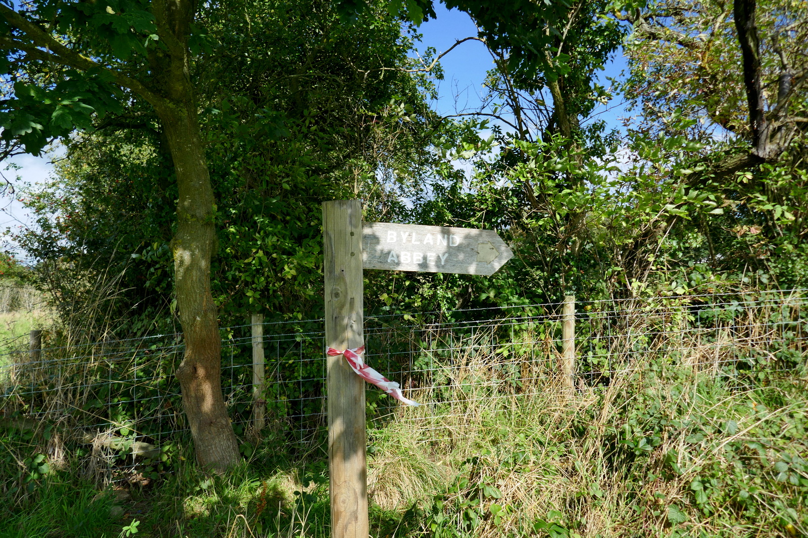
We walked past the Abbey ruins, admiring a Spitfire weather vane at the house opposite, and continued to Abbey House before crossing fields to return us to Wass.
 |
| We choose a route over the unwalked grass |
 |
| Reaching Wass |
 |
| Back to the Stapylton Arms |
This is an interesting walk with lots to see in its 7 miles and is recommended. especially for a fine summer's day. We drove the short distance to Coxwold where we sat in the sun at the Fauconberg Arms to discuss a most enjoyable day.
 |
"Cheers!"
|