"There must be dales in Paradise
Which you and I will find.."
Showing posts with label "Gribdale Gate" "Hanging Stone" "Highcliff Nab". Show all posts

Sunday 7 January 2018


The Hanging Stone and High Cliff from Gribdale Gate


8 miles                          Fine and still


We've had heavy rain this week and field paths are sure to be sodden and boggy so we decided to do this moor walk where the ground should be better underfoot.


We parked at Gribdale Gate and followed the footpath steeply uphill and onto Great Ayton Moor.  In The Walker's Guide to the Cleveland Hills, Tom Scott Burns relates a curious belief from a 19th century book called 'Customs of North Riding' which states, 'Anyone who dares to stand near Gribdale Gate at midnight on New Year's Eve will see an old man pass through the gate and vanish'.  
New Year's Eve was a few days ago so we should be OK.


We begin the climb to Great Ayton moor

After reaching the moor the footpath followed a dry stone wall with views over to Roseberry Topping.  We came to a gate at Newton Moor but turned right just before it and followed the straightforward walk as shown in the map above. 
Today's walk from The Walker's Guide to the Cleveland Hills

Tom Scott Burns mentions that this is the site of a chambered cairn, part of a complex Neolithic burial site dating from the Bronze Age, roughly 2300 - 800BC, a time when these moors were covered with mixed forest and woodland clearance was  beginning to take place. By the Iron Age the site was treeless and cultivation was in progress.  Following the Iron Age, heather had spread across the moor replacing farmland, so the moors have in fact looked much as they do now since that time. 


Looking back from Ayton Moor

Crossing Ayton Moor to Newton Moor

Roseberry to our left


Looking at Roseberry from the gate at Newton Moor


Crossing Newton Moor

Approaching Hanging Stone

Guisborough from Hanging Stone

High Cliff appears in the distance


Descending through Hutton Lowcross Woods

Moving at speed on slippery ground


Our path goes uphill past the eco-house on the left


Approaching High Cliff

Coffee at High Cliff

We walk under High Cliff

Highcliff Farm

Walking along Codhill Heights

Female grouse

There goes the male!

Sleddale Farm

Sheep at Sleddale


On Percy Cross Road


Iron Age Hut Circles


A spot of colour in the hut circle...

Remembrance cross in the stone circle

Looks like motor cycles are allowed after all...


Lonsdale Bowl 
Go toward the light....  and the car


Thursday 22 December 2016


The Hanging Stone and High Cliff from Gribdale Gate

8 miles                          Cold and wet


Today's weather forecast was for a sunny day so we expected some good views on this walk, which we haven't done for a couple of years.  The weather forecast was wrong.

We parked at Gribdale Gate and followed the footpath steeply uphill and onto Great Ayton Moor as it started to rain.  In The Walker's Guide to the Cleveland Hills, Tom Scott Burns relates a curious belief from a 19th century book called 'Customs of North Riding' which states, 'Anyone who dares to stand near Gribdale Gate at midnight on New Year's Eve will see an old man pass through the gate and vanish'.    New Year's Eve is still more than a week away so we should be OK today. 


Today's walk from The Walker's Guide to the Cleveland Hills

Sharp climb to Great Ayton Moor

On Great Ayton Moor


After reaching the moor the footpath followed a dry stone wall with views over to Roseberry Topping which was brightly lit against a stormy sky.  We came to a gate at Newton Moor but turned right just before it. Tom Scott Burns mentions that this is the site of a chambered cairn, part of a complex Neolithic burial site dating from the Bronze Age, roughly 2300 - 800BC, a time when these moors were covered with mixed forest and woodland clearance was beginning to take place. By the Iron Age the site was treeless and cultivation was in progress.  Following the Iron Age, heather had spread across the moor replacing farmland, so the moors have in fact looked much as they do now since that time. 


Roseberry from Great Ayton Moor

Rainbow against Roseberry

Walking towards the end of the rainbow...

Turn right before this gate


After turning right at the gate we followed the moor track through the remains of a conifer wood which TSB describes as 'a corridor of trees rinsed with the scent of pine.'  No more, I'm afraid those trees have gone, like so many more, to the wood burning biomass furnace of the power station.
 
 
Remains of a 'corridor of trees' with High Cliff in the background.

The rain gets heavier..


The path eventually led us to a surprise view of Hanging Stone, which is a massive block of dandstone which TSB believes may have been part of an old quarry.  We needed to pick our steps with care as we descended past the stone as the heavy rain was now starting to make the path slippery.


Approaching Hanging Stone

Descending with care

A long steep descent...

... to Hutton Lowcross Woods


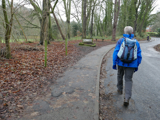
We took our time descending though the trees to briefly join a connecting track through Hutton Lowcross Woods, then turning left and descending again to reach Hutton village road.  Turning right to walk along the road we entered Hutton Village which was built as a model village during ironstone mining in the 1850s.  At the end of the village we passed a modern 'eco house' which was being built last time we passed by.  We went through a gate and started to climb to Bold Venture Gill, a name that surely has a mining history.


Entering Hutton Village

Our path lies through the gate ahead, past the eco-house

Once miners' cottages and now desirable homes


We stayed on this track ignoring all turn-offs and once again were surprised at the amount of tree felling.  No longer 'endless rows of conifers' as described in The Walker's Guide to the Cleveland Hills.  A convenient bench near to the nab was too exposed for our coffee stop so we continued under the nab on to Guisborough Moor, where we hunkered down behind a dry stone wall that sheltered us from the wind, if not the rain.  Hot coffee and scones were very welcome.


Climbing towards High Cliff Nab

High Cliff Nab

We walk along by the nab to find....

... shelter behind a dry stone wall

Setting off after coffee

Our walk now led us on to the open moor and we looked down to High Cliff Farm.  We then strode across Codhill Heights, 'Cod' being derived from the Viking word 'Keld', which means 'spring'.  As we walked over the moor the rain stung our faces as we walked into the wind.  On our left we looked down into Sleddale which is apparently derived from the old English 'slaed', a wide flat valley.  Soon isolated Sleddale Farm came into view, looking a bleak place in today's weather.


High Cliff Farm

Passing the Cleveland Way path

On Codhill Heights


Sleddale Farm

Sheep at Sleddale


Ram at Sleddale

The ram is disappointed to find the ladies distracted

We tried our boots in Big Dave's footsteps, they were at least size 12 - thank goodness we didn't meet him!

Wearing his white winter gaiters!


We joined a tarmac road that serves as the access road to Sleddale Farm.  After a while we met Percy Cross Rigg road and turned right into it enjoying views in all directions.  The rain had finally stopped and the sun was occasionally breaking through the clouds.

We came to a small fenced area which is the site of several Iron Age huts that were excavated in the 1960s.  We were pleased to see that dense heather which had previously covered the huts had been cut back, giving a much better idea of the layout of the huts.


Percy Cross Rigg

"It's stopped raining!"

The Iron Age Huts


TSB says they date from 800BC to 70AD


Fungi next to Percy Cross Rigg road


We turn left off the track at this sign

We continued along Percy Cross Rigg, which was once a prehistoric track connecting settlements at Eston Moor, Great Ayton Moor and the Crown End settlement at Westerdale, until we reached a gate and information board.  Here there is a meeting of paths which is actually the junction of four parished, Guisborough, Kildale, Great Ayton and Hutton Lowcross, although there is no sign to that effect.  


We turned left here to cut across the moor on a green path with Lonsdale Bowl to our left.  Looking at TSB's map above you will see this is alongside Lonsdale Plantation but this has been felled, to our advantage as we now have a fine unobstructed view of Lonsdale Bowl.
 
Lonsdale Bowl as the sun breaks through

Looking back to Lonsdale Bowl


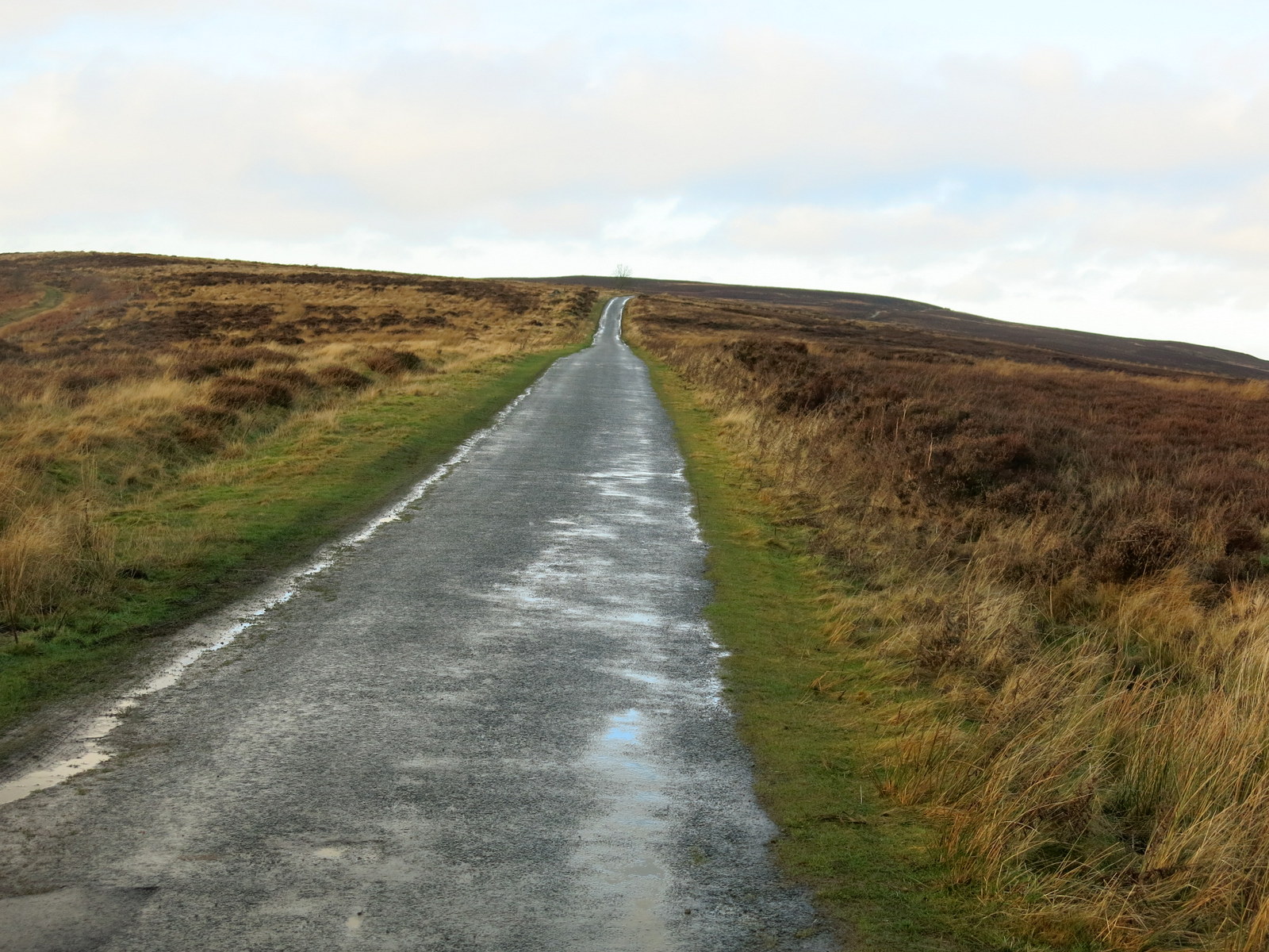
We were now on our final leg of the walk and we swung away from Percy Cross Rigg to drop gradually back to Gribdale Gate and our car.


Captain Cook's Monument appears on the far horizon


Dropping back to our car

We drove back to Great Ayton where I took a snap of a ringed gull sitting on Captain Cook's statue, unconcerned by our presence. After admiring a Remembrance Day display on the Green we adjourned for a pint in the Royal Oak. Returning to the car half an hour later we were surprised to see the gull still in the same position.

Little respect for the Captain