"There must be dales in Paradise
Which you and I will find.."
Showing posts with label "Hazel Head Woods". Show all posts

Sunday 20 August 2023


Hazel Head to Arnsgill and Cow Ridge

          7 miles                       Fine and still


We approached Hazel Head Car Park via a 6 mile drive along the unclassified road from Osmotherley to Hawnby and after driving past the ford at Blow Gill ('ravine with the dark ford') we parked at Hazel Head car park.

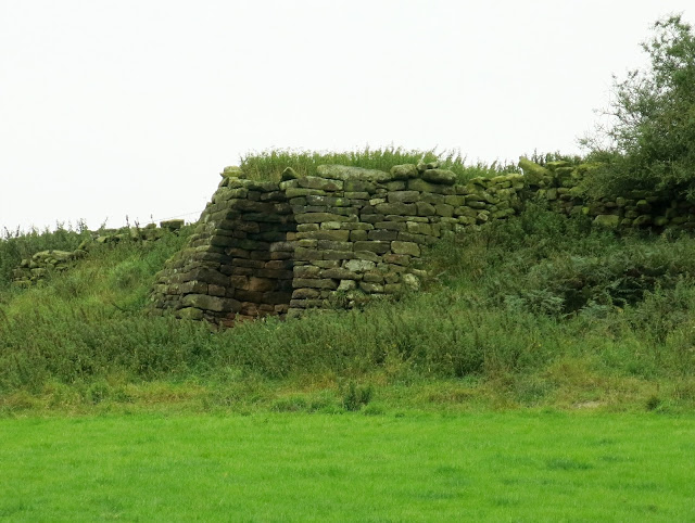
After donning our boots we returned along the road, back to Blow Gill where we admired an old lime kiln at the side of the road, the first of three we would pass today. 


Today's walk from The Walker's Guide to the Cleveland Hills

Blow Gill


Limekiln at Blow Gill


Tom Scott Burns explains that a number of farmers in the region had their own lime kilns for burning lime, which was used for lime washing walls and dressing the land, a custom going back to Roman times. The lime neutralises the acid in the moorland soil allowing more varied crops to be grown. 

Leaving Blow Gill we followed the road steeply uphill to reach the entrance to Street Gate Farm, where we turned left onto the farm track.


Passing Street Gate Farm

Trap near Street Gate

The farm track is overgrown and very muddy in places.  It leads past Street Gate Farm and into South Wood.  This is an old lane and TSB tells how these lanes were used by tinkers and pedlars who became very numerous in the Middle Ages.  These travelling salesmen not only sold their goods but also played a big part in circulating news and delivering letters between settlements.

The track led us past another farm, Hagg House, and on until we reached Birk Wood Farm where we turned right just before the building and climbed steeply to rejoin the Osmotherley to Hawnby road. Here we paused to examine another lime kiln, which probably once belonged to Plane Tree farm.


Hagg House Farm

Old lane

Gets muddy in places


Turn right onto tarmac at Birkwood Farm

Lime kiln near Plane Tree Farm


We left the Lane at a gate opposite the Birkwood Farm entrance, to start another steep climb to reach the moor.  Passing the moor gate we walked along the edge of the moor, looking west to the grand building of Snilesworth Lodge.  Eventually the path drops from the moor to reach Arnsgill Beck which is crossed by a footbridge, just before Hill End Farm.

Easterside Hill and Hawnby Hill in the distance

Moor gate

Heather honey

Busy bees


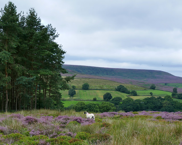
Overpowering scent of heather pollen

Keeper's cottage below

Descending to Arnsgill Beck

There were bees buzzing everywhere in the flowering heather and a very strong smell of pollen as we crossed the moor.  Later, on the way home, we would stop at a roadside stall in Osmotherley and buy honey collected from the hives we passed near Plane Tree Farm.

Climbing from Arnsgill Beck we passed Hill End Farm and walked on to Arnsgill Ridge with Snilesworth Moor to our left.  TSB says that in 1150 Snilesworth was written as Snigleawath, meaning Snigels' Ford, based on the Norse word snigill, a snail.


Hill End Farm

Lime Kiln at Hill End Farm

Snilesworth Lodge

Our climb took us past the farm to the top of Arnsgill Ridge where we joined a shooters' track to pass through the moor gate and walk towards a distant plantation of conifers. We followed the track until it drops down to Head House.

Stoat trap

Head House

Head House is always unlocked and makes a good shelter in bad weather but today we walked on and dropped down to re-cross Arns Gill and then climbed to Cow Ridge.  We strode out along the moor path for a couple of miles.

We came to a cairn which marked the location of Iron Howe.  TSB points out that all along this stretch are well preserved field boundaries and over 300 cairns dating from 2300 to 800BC.  Although they don't show well in the photographs they are in fact very noticeable as you walk along this stretch of the path.

Iron Howe


Remains of ancient settlements


After Iron Howe we descended gradually back towards Blow Gill.
On our left we spotted the old Wesleyan Chapel ruins, where we have stopped to rest on TSB's Hawnby to Hazel Head walk.  Below us we saw the unusually named Scotland Farm, and now on tarmac we dropped back to Blow Gill and the end of the walk.

Scotland Farm


Wesleyan Chapel ruin

The end of the walk


Friday 16 June 2023


Hawnby Hill and Hazel Head from Hawnby


7 miles                    Hot and sunny


This walk combines the best of moorland, woods, pasture and villages.  It's not too difficult but as there are a couple of good climbs it isn't too easy either. 

We arrived at Hawnby from the B1257 Stokesley to Helmsley road via the Laskill turn off and parked at the roadside shown by the P in the map below, just up the road from the Owl at Hawnby.

Today's walk from The Walker's Guide to the Cleveland Hills

The Owl at Hawnby

Walk up to the right of the cottages


The village of Hawnby sits right under Hawnby Hill (298m) whose twin, Easterside Hill, can be seen over towards the B1257.   These two hills, known as Corallian Outliers, once formed part of the Tabular Hills and have a very distinctive shape.

We walked down from the car park and reached the Owl at Hawnby and were shocked to see a 'pub closed' sign.  All the outside tables and seating have been removed so it didn't look as if our post walk pint would happen in Hawnby as planned.

We turned off the road into a lane opposite the pub and began the steep climb to the top of Hawnby Hill.  From here there is a good view in all directions; to the left down to Arden Hall and to the right, Easterside Hill. 

Bad news at The Owl

Walking towards Hawnby Hill

Beginning the climb

Looking back we see the houses of Lower Hawnby

Nearly at the top

Arden Hall down below to the left

There is now a fine ridge walk along the top of Hawnby Hill and we soon reached the highest point, a cairn at 978 feet.  We paused to cool down and take in the view in all directions, Daletown over to our left and Easterside Hill to our right.

Easterside Hill to our right

The cairn at 978'

Memorial bench near the cairn

A long and enjoyable ridge walk


We walked along the ridge to the end of Hawnby Hill enjoying picking out familiar sights and walks that we could see from this vantage point, and then we descended steeply to Hawnby Moor and the moor gate at Sunley Slack.

Our track ahead across Sunley Slack

Reaching the end of Hawnby Hill

.... a very steep descent follows

We walked along the sandy path of Sunley Slack and came to a fork in the road after about a mile.  We took the left fork and followed the path for another three quarters of a mile, seemingly walking straight towards the new Bilsdale Mast.  To our right was Round Hill, which is of no interest, merely a collection of rocks and a bump in the heather. 

About 20 feet past a wooden sign post we turned sharply left on a small track to cross the moor.

Early heather

Hot and getting hotter!

Looking back we see Easterside Hill to the left and Hawnby Hill

Bear left at the fork

"Keep a-moving Dan.."  We cross the burning sands    moor


There is very little sign of the path indicated by Tom Scott Burns on the map above, and we made our way initially by following a series of shooting butts and the rough access track that has been laid for them. After the butts we followed sheep tracks, all the time heading left towards the trees of Hazel Head Wood. 

Having reached Hazel Head Wood we walked parallel to it until we saw the disused Wesleyan chapel ahead of us. Here we paused for coffee, looking down on the chapel as bracken would have spoilt any views we might have had if we had walked further.  We sat quietly enjoying our scones and remembered our last visit here when a deer, obviously unaware of us, approached us and jumped over the fence into Hazel Head Wood.


Crossing the moor 

Hazel Head Wood appears ahead

We reach the old Wesleyan chapel

Our coffee stop

A surprise visitor on our last visit to Hazel Head Woods 

Eventually we lumbered to our feet and resumed the walk.

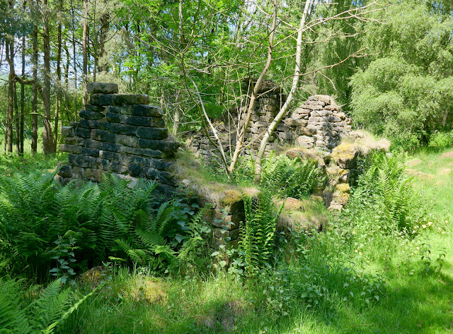
We retraced our steps for about 100 yards to a gate and entered Hazel Head Woods.  A straight green path soon brought us to some ruined buildings.  TSB says these were once the property of High Hazel Head Farm which was last inhabited in 1946, surprisingly recent considering the state of the ruins.

Entering Hazel Head Woods


Passing the ruins of Hazel Head Farm


We followed a grassy track through the dark wood until, bearing right, we exited the wood above Hazel Head Car Park and the Osmotherley to Hawnby road.

From the car park we followed the road left for a short time before turning into Ellers Wood at a footpath sign. 


Turning in to Ellers Wood


Ellers Wood has mainly been felled in recent years and now consists of saplings.  A path has been maintained through the close growing saplings and we followed it downhill to reach a bridge over the River Rye.

Crossing the River Rye

Crossing the river we joined a lane and passed through a gate into a sheep field.  We followed a beck through a couple of fields, ignoring a broad path to the left, to reach a row of telegraph poles.

Here we turned left to follow the poles uphill where we crossed a stile and followed the path into conifers.

Turn left at the telegraph pole

Another good climb, one of several on this walk!

In the distance is Mount Pleasant Farm which we pass on our Arden Moor walk

A dead shrew, no apparent sign of injury

These conifers are the trees of Blueberry Wood and we walked through them for about half a mile, before coming to a surprise view of Hawnby Hill to our left.  

A surprise view of Hawnby Hill and Easterside Hill

Footbridge above St Agnes House Farm

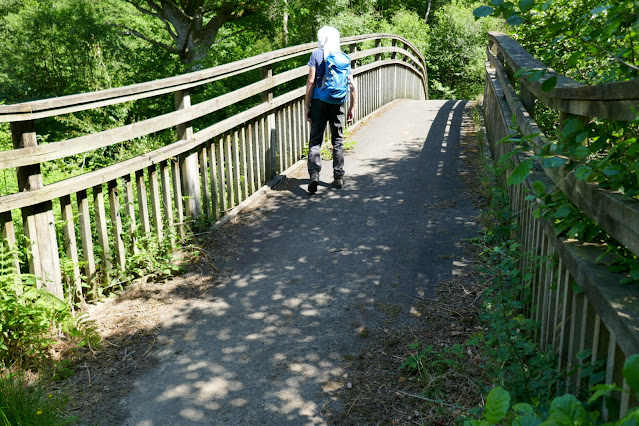
Passing above St Agnes House Farm we crossed a stile and dropped down to a ford where we crossed a footbridge into Low Wood.  Soon we came to the attractive arched bridge over the Rye, not mentioned by TSB as it post dates his book, being built to replace a bridge washed away by flooding in 2005. 

We disturb sheep sheltering from the sun

St Agnes House Farm

Too hot to bother


The Arched Bridge


From the bridge we had a short scramble up to a track leading right, coming out of the woods at the lonely Carr House.  From here we followed way marks (but no path) through several fields of sheep before eventually reaching the road just outside Hawnby.

Carr House

Follow way marks on field boundaries

Murton Bank in the distance


Return to Hawnby

The notice on the door asks us to leave the door open as the defibrilator is overheating

Disappointed to find the Owl still closed for business we made the short drive to the Buck at Chop Gate for our post-walk debrief and pint.

I enjoy a pint with Old Mother Riley