"There must be dales in Paradise
Which you and I will find.."
Showing posts with label "hiking blog". Show all posts

Thursday 19 October 2017


Kildale to Baysdale and its Lost Abbey


9 miles                                      Cloud with rain later


We parked at the side of the road in Kildale and left the village towards Little Kildale.

Today's walk from The Walker's Guide to the Cleveland Hills

Setting off through Kildale

The Old School House, Kildale


The Lodge, Kildale

Tom Scott Burns informs us that Kildale is a village of great antiquity.  There are several 'Kildals' in Norway and the village was probably named by the Vikings.  It was called Childale in the Domesday Book.   In 1156, where the church now stands, was a wooden castle built by the Percys, Earls of Northumberland.  Walking through the village we turned off the road towards Little Kildale and passed through a couple of sheep fields before reaching Little Kildale Wood and then carried on to Warren Farm.

Looking towards Little Kildale

Little Kildale

New pigeon weather vane at Little Kildale


Following our path past Warren Farm through a field of horses and donkeys, we came to a large square chimney as we descended to Leven Vale.  This is the remains of an ironstone mine that was operational between 1866 and 1874.  Crossing the River Leven, whose source was just to our right, we started a climb up through meadows towards Kildale Moor. 

Gate near Warren Farm


Horses and donkeys at Warren Farm


"Well they were friendly enough..!"

Old Ironstone Mine


The source of the River Leven


We now climbed steadily to Kildale Moor and having reached the top at 900 feet, we descended towards Baysdale Beck, soon reaching the remains of an old barn where our path turned sharp left.  

The moor gate on Kildale Moor

Old buildings near to Baysdale Beck

We turned left on reaching this building

The track, which runs parallel to Baysdale Beck, is an old lime road that enabled limestone to be carried from Commondale into Cleveland, and we followed this for 1.5 miles until we reached a tarmac road.

We turned right onto the tarmac road and walked steeply downhill to pretty Hob Hole, where we sat on a couple of boulders to enjoy our coffee and scones.


Descending steeply to Hob Hole

Hob Hole

We sat on the rocks on the right to enjoy our coffee

Baysdale Beck at Hob Hole
Hob Hole was supposed to be the haunt of a mischievous hobgoblin who taunted weary travellers and TSB reports a Canon Atkinson speaking of Padfoot,  "Padfoot, a precursor of death; sometimes visible, sometimes invisible, but ever and anon padding lightly in the rear of people, then again before them or at their side, and uttering a roar unlike the voice of any known animal."   


Fortunately there was no sign of Padfoot today and we ate our scones in peace before crossing the ford and heading steeply up the tarmac road, then turning right into John Breckon Road.  As we walked along this narrow road we had views through the mist towards Westerdale.

Looking back to the water splash at Hob Hole

Climbing John Breckon Road

Westerdale

Turn right onto the moor

After half a mile or so we turned off John Breckon Road to folow a heather track that returned us back along the opposite side of Baysdale Beck, passing a memorial to Alan Clegg 'Who loved these moors'.  We arrived at Great Hograh Beck where there is a small stone footbridge and a wooden memorial seat.   

TSB notes that the footbridge was built in 1938, according to an inscription, and was the work of Rowland Close, of nearby Low House Farm.


Returning over the moor on a parallel track

"Alan Clegg, who loved these moors"

Memorial seat at Great Hograh Beck

Bridge built by Rowland Close
Shortly after the stone bridge we turned right onto a wide track and followed the path across the moor.  We walked downhill and passed by the above mentioned Low House Farm where Clive fed apples to a horse and a couple of Shetland ponies.


Leaving the moor

The Low House

Making a friend


We were fascinated by the horse's curly moustache!

Shetland Ponies


We passed through Thorntree House Farm before reaching the Abbey.

The original abbey was occupied by 9 or 10 nuns from 1190 to 1539.   TSB tells how in 1304 Prioress Joan de Percy had not adhered to the monastic rules and Archbishop Corbridge had to commit the custody of the nuns of Baysdale to Roger de Kellshay, rector of Crathorne.  By 1307 Joan remained disobedient and was deprived of her post. She absconded from the abbey with some other nuns and Archbishop Grenfield ordered them back to the abbey "that they return without delay and not go outside the precincts of the abbey and serve God under the yoke of obedience..."   Unfortunately TSB doesn't relate how the story ends, did Joan continue with her wild ways or submit to the yoke of obedience?   NB See below

We walked away from the buildings as the rain began to fall heavily.  We crossed a quaint stone bridge which is apparently the only substantial remnant of the original abbey.  Crossing the bridge we followed the road to a footpath sign where we turned right to climb steeply through fields, all the way to the dale top, at a height of 1050 feet, where we paused to admire the view back to the abbey and collect our breath.


Baysdale Abbey

Side view of the abbey

Crossing the ancient bridge

A handsome ram in the fields near the abbey

Climbing in the rain

Looking back downhill to the abbey

We joined a tarmac road and turned right to follow it.  After a few minutes walking on this road we saw a stone memorial to the crew of a second world war plane that crashed on Kildale Moor; sadly the crew died from exposure before they could be rescued.


We now had a walk of a couple of miles on tarmac as we descended towards Kildale through the rain.  Normally we would enjoy fine views towards Battersby but mist and rain rather spoilt the view today.

A long walk on tarmac
We dropped down to Kildale and a short drive took us to the Royal Oak at Great Ayton where we discussed today's walk over a pint.

I remind Clive that it's his turn to buy the beer

NB  In fact Joan did return to Baysdale as a simple nun after doing a year's penance at Sinningthwaite.  Thanks to Roger for this information and see here


Friday 13 January 2017


Boltby to Gormire Lake and Whitestone Cliff

7 miles                  Cold and dry


A very cold day following a couple of windy days meant the going would be good underfoot today.
We approached Boltby from the A19 Knayton turn off and parked at a small designated car park at the end of the village.

Last time we parked here we admired an old elm tree with a tree house and I threatened to climb it on our next visit.  This was not to be as it has been blown over and was lying forlornly in the field next to the car park.  On the credit side this did mean we now had an unobstructed view over to Boltby Scar.


Today's walk from The Walker's Guide to the Hambleton Hills

Old elm tree in January 2016


The elm tree today

We walked back down the road towards Boltby where we took the first left into a lane.  Tom Scott Burns explains that Boltby is of great antiquity and is mentioned in the Domesday Book as the property of Hugh, son of Baldric.


Approaching the left turn at Boltby

The Old School House, Boltby

New (to us) weather vane at Boltby

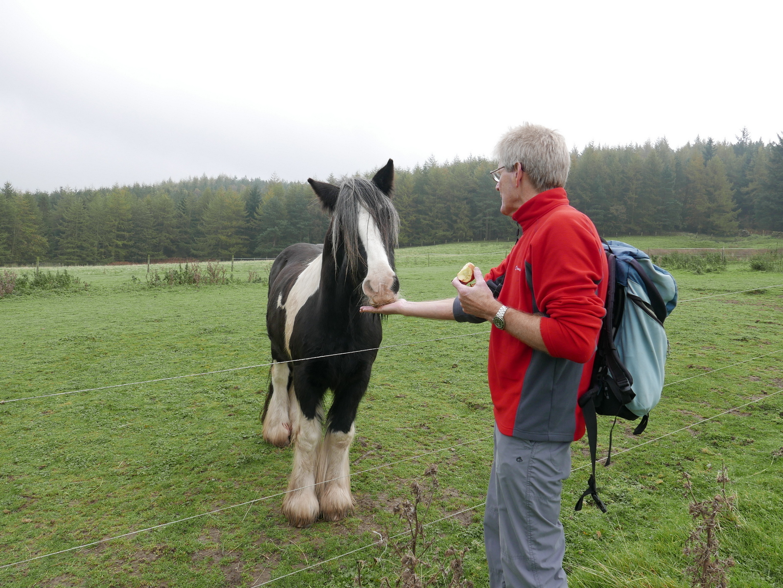
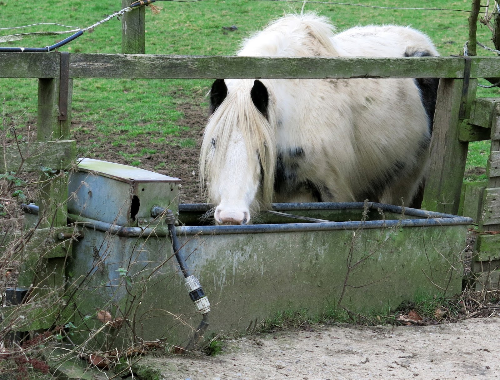
Labradors live at this house in Boltby
 
Our lane petered out and we passed through a gate to follow a faint track over the shoulder of Little Moor where we looked down on Greendale Farm.


Our lane peters out at a ford

Climbing Little Moor


Follow the bridleway to Tang Hall

Greendale Farm

We  dropped down to Greendale Farm and continued around the side of a hill to reach Tang Hall farm where we turned left just before the buildings.


Circumnavigating Greendale Farm


King of the Hill at Greendale Farm

Approaching Tang Hall

Tang Hall Farm, turn left at the fence


We were now walking on the old coach road across Huggon Howl to Southwoods Hall, although it is now just a grassy path.

Reaching the gates of Southwooods Hall we turned onto a forest track into South Woods, which we followed to reach Southwoods Lodge.


Through the gate to Huggon Howl

First view of Southwoods Hall

The green coach road runs to the right of the hedge

Southwoods Lodge
On reaching the lodge we followed the track straight ahead through Garbutt Wood to reach Gormire Lake where we sat to enjoy our coffee and scones, watching gliders and their tow planes busy in the sky above us.

Through Garbutt Wood

Swans near the far bank of Gormire Lake

A good spot for a picnic

Tow plane and glider from nearby Sutton Bank

There are two terraces around Gormire and TSB explains that these were once shorelines when the lake was much deeper.  Its is often described as bottomless but is actually about 27 feet deep in the centre and covers about twenty six acres.  Tradition has it that a town stood here which was destroyed in an earthquake, but the lake is actually the result of a glacial overflow channel being blocked by a landslip, hence its position up a hillside.  No streams flow from it and its waters are mainly supplied by rain and diminish with evaporation.  A major landslip happened here on the 25th March 1755 which was described by Rev John Wesley as 'like many cannons or rolling thunder'.

Leaving the lake we climbed straight up through Garbutt Wood to reach Sutton Brow.  This is a steep half mile diagonally up the side of the bank and we were much warmer by the time we reached the top.  

From here we had a fine view back to Gormire Lake and to the left over towards Roulston Scar.  After catching our breath we set off past Whitetone Cliff, still looking down at the lake from various vantage points.


A long climb to Sutton Brow...

... through Garbutt Wood

Gormire from Sutton Brow

Roulston Scar from Sutton Brow

Whitestone Cliff

Gormire from Whitestone Cliff

Clive enjoying the view from Whitestone Cliff

We now had a three mile walk along the ridge, passing the remains of several tumuli to our right with fine views over Boltby to our left.

Eventually we passed by the remains of an old hill fort and quarry and reached the derelict High Barn where we left the ridge, turning left to descend towards Boltby.

Tom Scott Burns explains that the fort originally had a D shaped rampart enclosing three acres.  Gold earrings from the early Bronze Age have been unearthed, along with pottery from an earlier culture, probably Neolithic.

As we followed the path down we heard the guns of a shoot somewhere below us but couldn't see exactly where.


Boltby from Boltby Scar

Following the ridge for three miles

Remains of hill fort and quarrying, High Barn in the distance


Looking back at hill fort and Boltby Scar

High Barn

We followed a sunken path or hollow lane and for a while could see the tops of the Pennines which were covered in snow.

Our path zig zagged down past Hesketh Grange Farm, over a couple of bridges and then steeply uphill, back towards Boltby and our car.

When we reached Boltby we saw the shoot's chuck wagon being drawn by a tractor, ready for the guns to have a warming drink.  Nearby was a quad vehicle carrying the 'bag', mainly pheasants it would seem.

There is no pub in Boltby so it was necessary to adjourn to The Queen Catherine in Osmotherley to properly discuss today's fine walk.


Starting to descend to Boltby


Leaving the main path near Hesketh Grange

Across a gated bridge

Then a wooden bridge

'The Bag'