Eskdale, Danby Dale and Westerdale
8 miles Fine and dry
This moorland walk that visits the secluded village of Westerdale is not a Tom Scott Burns walk but is across an area he will have known well.
We approached Castleton from the Whitby Moors road and parked our cars at a designated parking spot just outside the village as shown on the map below.
Castleton takes its name from the castle which stood on Castle Hill from 1089 to the 15th century, and is situated along the end of Castleton Rigg, an outcrop of Danby Moor.
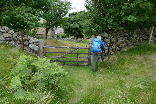
Leaving the car we walked straight downhill towards Castleton, after a couple of hundred yards we turned right, shortly after passing a small Quaker graveyard, at a sign for Didderhowe Farm.
We walked down the farm track, past the farmhouse and into open fields.
We were now following the Esk Valley Walk through Danby Dale, its clear way-marks always bearing the image of a fish.
After Didderhowe Farm we entered meadows and for the next mile or so walked along the bottom of the dale, alongside Danby Beck, passing several farms.
We could see St Hilda's Church on the other side of Danby Beck but as we were uncertain whether it would be open to visitors we thought it might not be worth the effort required to reach it.
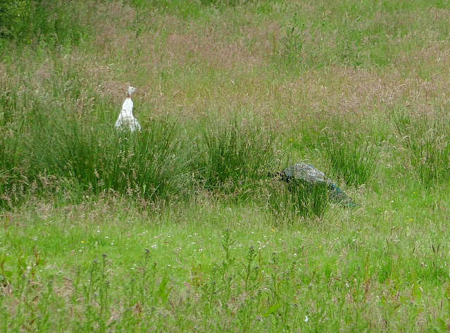
The walk through meadows was very pleasant and we passed by West Green Farm, Plum Tree Farm and then West Cliff Farm where we were disappointed not to see peacocks as we have in the past. As we left the farm, however, we saw distant peacocks in the fields so perhaps they are simply roaming further afield. After West Cliff Farm we passed tidy Blackmires Farm and then arrived at Stormy Hall Farm.
 |
| West Green Farm |
 |
| Dog weather-vane at West Green Farm |
 |
| Plum Tree Farm |
 |
| Walking between the farms |
 |
| Triplets? |
 |
| A couple of interesting characters await us |
 |
| We can't resist the temptation to scratch his head |
 |
| "You're not scratching mine!" |
 |
| West Cliff Farm |
 |
| Blackmires Farm |
 |
| We spot peacocks in the field |
On reaching Stormy Hall Farm we turned right onto a steep farm track leading us up to the top of Castelton Rigg. We paused occasionally to catch our breath and look back at superb views of Danby Dale.
 |
| Looking back at Blackmires Farm |
 |
| Stormy Hall Farm |
 |
| A long steep climb to the top of Castleton Rigg |
 |
| Looking back into Danby Dale |
Just before reaching the top of our climb we stopped for coffee and scones at a disused quarry, giving us shelter from the breeze and a fine view back down Danby Dale.
 |
| An old quarry makes a good rest stop |
 |
| Our view to the top of Danby Dale as we enjoy our coffee and scones |
After finishing our coffee we left the old quarry to cross the main road and join a footpath across Castleton Rigg. Here we paused again to take in the fine view into a new valley and to pick out our two immediate objectives, Dale Head and Broad Gate Farms.
 |
| Entering Dale Head Farm yard |
 |
| Dale Head Farm |
 |
| We wondered what this old building was intended for, a buttery perhaps? |
 |
| Young swallows at Dale Head Farm |
 |
| Even younger swallows peep out of their nest |
 |
| Bee House for bee skeps |
We turned right just beyond the Bee House and walked across several more fields to Broad Gate Farm. We followed the farm track and passed through a tiny stile set in the wall, crossing a field to reach a seven step stone stile which required concentration to negotiate.
 |
| Broad Gate Farm in the distance |
 |
| Weather-vane at Broad Gate Farm |
 |
| Broad Gate Farm |
 |
| This type of stile is more common in the Yorkshire Dales |
 |
| The gates prevent sheep using the stile |
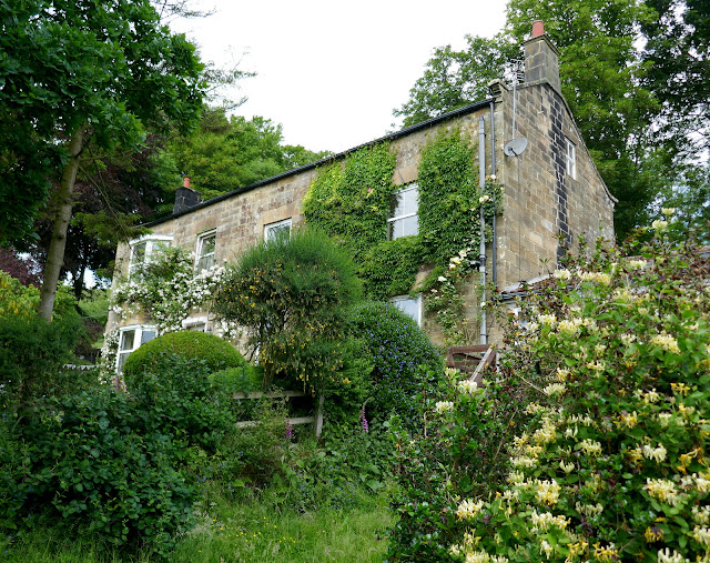
Across a field and over another step stile and we were entering the tiny village of Westerdale. We walked along the street and stopped to look around Christ Church.
 |
| Entering Westerdale |
 |
| This house is called Pinfold and we wondered if there had once been a pinfold on this site |
 |
| Houses in Westerdale |
 |
| Christ Church, Westerdale |
 |
| Christ Church |
 |
| Grave Slabs, possibly from Knight Templars |
 |
| Altar window |
 |
| Bell tower window |
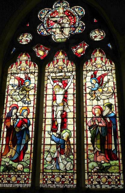
Christ Church at Westerdale was built in 1838 but the decorative stone over-arching the date stone is from the 12th century and the chevrons date it to the late 1100s. Changes to the original building had been made by the Knights Templars who were lords of the manor here in the 13th Century. The older windows are from the 14th century and were placed by the Knights Hospitaller who became lords of the manor following the demise of the Knights Templar.
Leaving the village we followed the road down to the River Esk where we stopped to look at its ancient bridge, Hunter's Sty Bridge, restored in the 1800s.
This bridge is a single span medieval bridge which was restored by the Duncombe family in 1874. It dates from the 13th century and Hunter's Sty means Hunter's Steep Path, and it was built to provide access to the Royal Forest of Pickering.
We crossed the village cricket field and climbed through several rough and un-waymarked pastures to reach the moor where we rejoined the Esk Valley Walk.
As we crossed Westerdale Moor we saw a colourful painted sign for Crown End. Although we're not sure who put the sign here or why, it identifies the beginning of a 'stone row', a Megalithic arrangement of standing stones probably for religious reasons or perhaps marking a processional route. Many of the stones are barely visible in the heather at this time of year. See here for more details
 |
| The first of 21 standing stones can be seen behind |
We followed our path above New Road and Dibble Bridge Farm and dropped down from Westerdale Moor to cross an un-named spring near Carr House. We crossed New Road and climbed back up to the car park on the Westerdale road and the end of our walk.
 |
| Crossing the bridge... |
 |
| Climbing back to the car park |
We were soon sitting outside the Eskdale Hotel in Castleton enjoying a pint which we agreed was a fitting end to a good walk.


