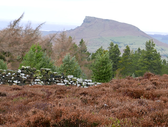
Captain Cook Country from Great Ayton
8 miles Wintry showers
We parked at the roadside in Great Ayton High Street and walked down to leave the road and cross the steel bridge over the Leven, opposite Suggits Ice Cream Parlour.
Apologies for poor photographs today, I have somehow moved the settings and pictures are a bit fuzzy with poor colour.
 |
| Today's walk from The Walker's Guide to the Cleveland Hills |
 |
| Great Ayton |
 |
| Weather vane at Great Ayton |
Tom Scott Burns remarks that Great Ayton was known as Canny Yatton and in the early 1800s was the haunt of Au'd Nanny, a notorious witch described in Blakeborough's dialect verse T' Hunt o' Yatton Brigg.
"Her naals they war lang, an' humped war her back,
An baith lugs war pointed, her skin ommaist black... "
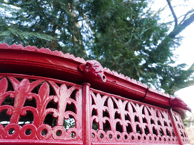
Just over the steel bridge we came to an old 'pissoir', now sited as a tourist attraction, and not a working one. I remember when I was a boy it was painted a more tasteful green and still in use, sited further up the High Street near what used to be the Friends' School.
We passed the little waterfall and followed the river along field paths towards Little Ayton.
 |
| Pissoir |
The exceptionally cold morning meant meant the going was easy on frosty ground in the fields alongside the river, and we soon reached Woodhouse Farm, after passing by a large deer enclosure.
 |
| Frozen ground makes easier walking through fields |
 |
| Alongside the deer enclosure |
Arriving at Woodhouse Farm we were pleased to see that two tame geese still appear fit and well, the fourth year we have seen them here. We were interested to see an old Scarab street cleaner at the farm and wondered how it got there.
 |
| Woodhouse Farm |
 |
| Scarab street cleaner |
 |
| Pet geese at Woodhouse Farm |
After the farm we crossed a field containing horses, then a bridge over the river, to reach Easby Lane, which we followed through Easby. Outside the village we stopped to chat to a farmer who was using a power wash on a blackthorn hedge. An experiment, he explained, to see if he could get rid of the lichen and moss that was killing the hedge.
We crossed the bridge over the railway line and stayed on the tarmac road for half a mile, carefully avoiding patches of black ice, as we climbed steadily uphill. Just before Borough Green Farm we climbed a way-marked stile into fields and began a steady climb to Easby Moor.
 |
| Easby |
 |
| Hunting weather vane at Easby |
 |
| Cat and mouse at Easby |
 |
| Guinea fowl crossing the road outside Easby |
 |
| Captain Cook's Monument appears on the sky-line |
 |
| Leaving the road before Borough Green Farm |
Reaching the Moor Gate we turned right to follow our path below the moor to Mill Bank Wood.
Entering the wood we walked for over a mile. TSB says that the wood is named after an old Bleach Mill where woollen cloth was 'fulled' in order to soften and shrink it to a warmer, closer weave. The mill was destroyed on the night of 21st July 1840 when heavy rains caused enormous volumes of water to burst two fishponds at Kildale Hall. A wall of water 40 feet high carried away two stone bridges, a corn mill, sluice gates, an earth dam and the bleaching mill, as it rushed towards Great Ayton.
 |
| Climbing towards Easby Moor, Ayton in the distance |
 |
| Easby Hall below us |
 |
| Clive looks back towards Easby and Great Ayton |
 |
| Following the old hollow lane to the moor |
 |
| Looking back from the moor gate |
 |
| Entering Mill Bank Wood |
As we walked through the wood we spotted three deer in the trees about 100 yards away. One stood and watched us while the others continued grazing. It was impossible to get a clear photograph and we moved on leaving them in peace.
 |
| Waling through Mill Bank Wood |
 |
| Can you see it yet? |
 |
| The white rumps give the deer away but too far away for a decent photograph |
We came out of the woods by Bankside Farm and joined the tarmac lane. This is where we intended to stop to enjoy our coffee and scones but a squally shower and cold wind moved us a little beyond and we sheltered against an old stone wall, looking down towards Kildale and the old Church.
 |
| Kildale Church from Bankside Farm |
 |
| Kildale Hall from our coffee stop |
We followed the farm road uphill from Bankside Farm until we came to a fork where we turned left to walk through the trees of Coate Moor. A gentle climb along an icy path led us to Captain Cook's Monument.
 |
| Hardy sheep at Bankside Farm |
 |
| Dead shrew. Cold, sickness or old age? |
 |
| The trees of Coast Moor |
 |
| Icy path |
 |
| The monument comes into view |
 |
| Plaque on monument |
TSB notes that the monument was built in 1827, the foundation stone being laid by Robert Campion of Whitby.
Walking down from the monument we passed the remains of old workings that is the site of Ayton Ironstone mines, worked by Pease and Partners from 1909 to 1928.


