7 miles Sunny
This is very familiar territory but I felt it was just right for 'someone' testing their stamina after a trying couple of weeks. Plus it's one of my favourite Tom Scott Burns walks.
Carole and I arrived at Hawnby from the B1257 Stokesley to Helmsley road via the Laskill turn off and parked at the roadside near the newly opened Owl pub. The outside tables looked inviting and we promised ourselves a pint there after our walk.
The Owl at Hawnby
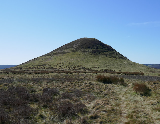
The village of Hawnby sits right under Hawnby Hill (298m) whose twin, Easterside Hill, can be seen over towards the B1257. These two hills, known as Corallian Outliers, once formed part of the Tabular Hills and have a very distinctive shape.
We turned off the road into a lane opposite the pub and began our steep climb to the top of Hawnby Hill. A steady climb through dead bracken brought us to the top and from here there is a good view in all directions; to the left down to Arden Hall and to the right, Easterside Hill.
These cottages face onto the Owl at Hawnby
Beginning the steep climb
Passing through the moor's gate
Looking back down to Hawnby
Nearly there...
Arden Hall down to the left
We now had a fine ridge walk along the top of Hawnby Hill and soon reached the highest point, a cairn at 978 feet. We paused to look in all directions, Daletown over to our left and Easterside Hill to our right.
The cairn at 978'
A lovely ridge walk with exhilarating views
Easterside Hill
Carole stands in the famous 'nick' in the top of Hawnby Hill
We walked along the ridge to the end of Hawnby Hill enjoying picking out familiar sights and walks that we could see from this vantage point, and then descended steeply to Hawnby Moor and the moor gate at Sunley Slack.
The sandy track of Sunley Slack stretches ahead and below
We look back at our steep descent from Hawnby Hill
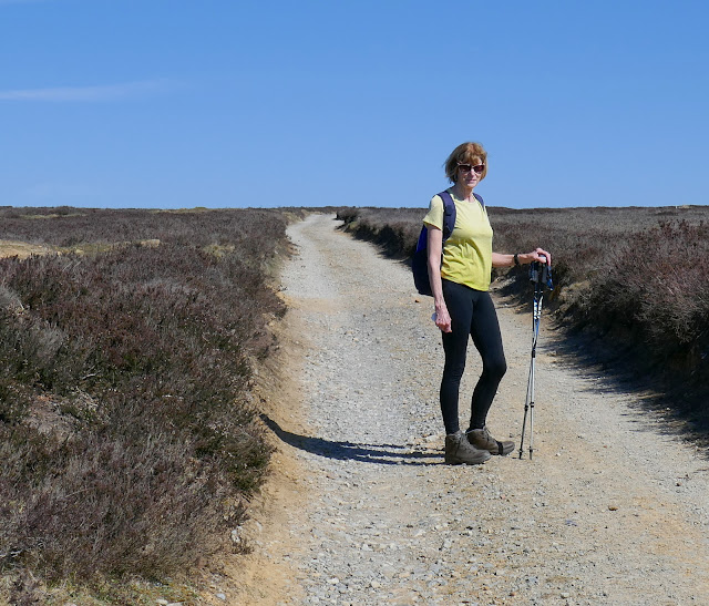
Carole waits patiently for me to catch up
We passed the moor gate and walked along the sandy path of Sunley Slack taking a left fork after about a mile.
We now walked for 1.5 miles, straight towards Bilsdale Mast. Eventually we saw Round Hill, which is simply a collection of rocks and a bump in the heather, to our right and shortly after that there is a direction arrow pointing to the left. Here we took the faint track to our left to make our way across Hawnby Moor towards Hazel Head Wood.
Three quarters of a mile of rough walking, the track sometimes almost invisible, brought us to the edge of Hazel Head Wood. We stayed on the moor and followed the edge of the wood downhill until we came to a disused Wesleyan chapel, and here we paused for our coffee and scones.
Tadpoles cluster at the edge of a pool on Sunley Slack
We hope the water holds out for them..
Waiting patiently (again) while I photograph tadpoles..
Take the left fork
20' past this sign turn left...
Cross Hawnby Moor towards Hazel Head Wood
Good camo! A plover I think..
Carole checks for 'fallen' in the sunken shooting boxes
Follow the wood edge to reach the old chapel
Our view with coffee, Bow Gill and the Osmotherley road
We lazed here for half an hour as it was so warm and pleasant in the sun but eventually we lumbered to our feet and resumed the walk.
We climbed back for about 100 yards to a gate and entered Hazel Head Woods. A straight green path soon brought us to some ruined buildings. TSB says these once belonged to High Hazel Head Farm which was last inhabited in 1946, surprisingly recent considering the state of the ruins.
Entering Hazel Head Woods
A nice green path
The remains of High Hazel Head Farm
From the car park we followed the road left for a short time before turning into Ellers Wood at a footpath sign.
Walking down from the wood to the Osmotherley road
Turn left onto the road and follow it to...
... a sign where we turn right into Ellers Wood
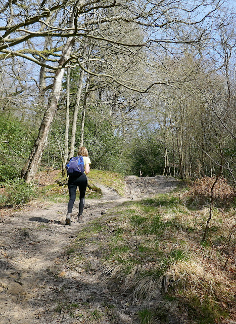
Ellers Wood has been felled in recent years and now mainly consists of saplings. A path has been maintained through the close growing saplings and we followed it downhill to reach a bridge over the River Rye.
Crossing the river we joined a lane and passed through a gate into a sheep field. We followed a beck through a couple of fields, ignoring a broad path to the left, to reach a row of telegraph poles.
Here we turned left to follow the poles uphill where we crossed a stile and followed the path into conifers.
Through the gate...
Ignore the broad path left and bear right at the post to follow the beck
When you reach the telegraph poles, turn left steeply uphill
These conifers are the trees of Blueberry Wood and we walked throught hem for about half a mile, before coming to a surprise view of Hawnby Hill to our left.
Leave the path to cross into fields
Half a horn is better than none
Descend to a ford
St Agnes House Farm
Passing above St Agnes House Farm we crossed a stile and dropped down to a ford where we crossed a footbridge into Low Wood. Soon we came to the attractive arched bridge over the Rye, not mentioned by TSB as it post dates his book, being built to replace a bridge washed away by flooding in 2005.
After St Agnes House Farm the path crosses two bridges..
... before reaching the arched bridge over the River Rye
A beautiful bridge that can't see much traffic..
From the bridge we had a short scramble up to a track leading right, coming out of the woods at the lonely Carr House. From here we followed way marks (but no path) through several fields of sheep before eventually reaching the road just outside Hawnby.
Turning left onto the road soon brought us to the Owl where we kept our promise!


