Hawnby, Easterside Hill
and Shaken Bridge
7.5 miles April showers and cool
We approached Hawnby from the B1257 Stokesley to Helmsley Road and drove to the lower houses of Hawnby Bridge. Tom Scott Burns explains that the village of Hawnby is divided into an upper and lower part because in the 1750s a zealous landlord turned out all the Methodists from their houses. They had lived in what we now think of as the top village. They moved a short distance away where they built some small houses and a Wesleyan Chapel, completed in 1770, now the lower village.
We parked behind this Chapel on the newly re-surfaced car park where parking is freely available for about a dozen cars.
 |
| Today's walk from The Walker's Guide to the Cleveland Hills |
 |
| Parking is free here BUT... |
 |
| The Old Chapel |
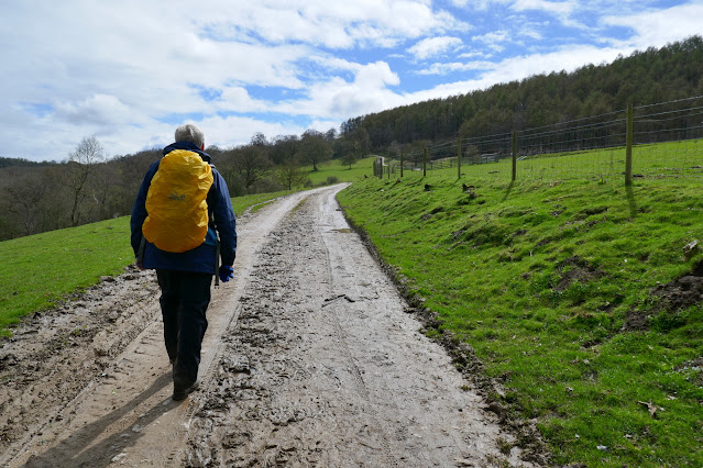
After leaving the car park we turned right and walked past the village shop and cafe to the junction, which we crossed to walk through a gate into fields which were very wet and muddy.
 |
| Through the field gate next to the white seat |
 |
| Residents attempt to find shelter |
 |
| Black bib and black head |
 |
| A patch of blue looks hopeful... |
We crossed the sheep fields and then Ladhill Beck via a bridge. Then uphill to reach Ellers Wood and then Easterside Farm where we joined the Hawnby road for a hundred yards before turning right at a signpost, over a stile and into fields.
 |
| Ladhill Beck |
 |
| ... and its bridge |
 |
| Then steadily uphill |
 |
| .. through Ellers Wood |
 |
| Looking back to the upper village |
 |
| Alongside Banniscue Wood |
We followed the trail under the shadow of Easterside Hill until we dropped down to take the farm track for High Banniscue Farm. When we reached the farm we turned left to walk along a faint track to reach an old ruined building shown as Crows Nest on the OS map. We turned right at these ruins to pass through the moor gate and followed a path through heather to skirt Pepper Hill and Easterside Hill.
 |
| High Banniscue Farm |
 |
| Hawnby Hill with unmistakable nick on its crown over to our left |
 |
| Crows Nest Farm ruins |
 |
| A fallen tree has speeded the destruction |
 |
| Sportsmans Lodge from Crows Nest ruin |
 |
| Leaving the ruin via the moor gate |
We walked along the east side of Easterside Hill looking over at the valley of Bilsdale and then dropped down to join the Hawnby road. In a hundred yards or so we turned right off the Hawnby road at a footpath sign, to re-enter boggy fields that drop away to the River Seph below.
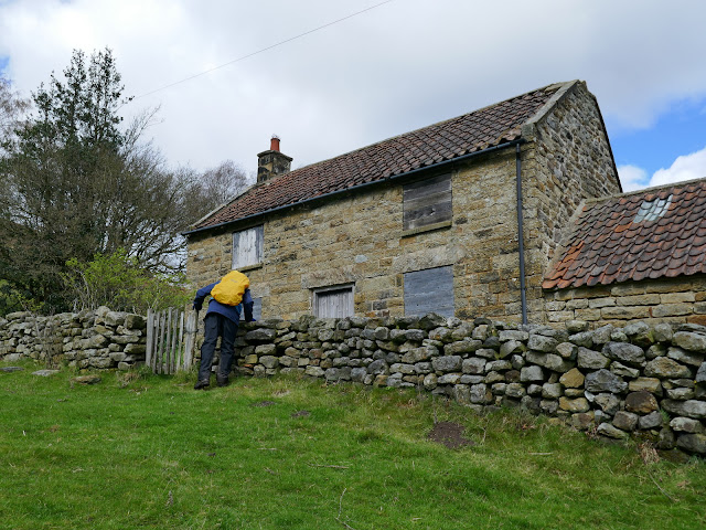
Staying high we crossed the field to reach deserted Wass House where we sat behind a wall taking shelter from the wind to enjoy our coffee and scones.
 |
| Pepper Hill and Easterside Hill behind |
 |
| Walking below Easterside Hill |
 |
| Bilsdale to our left |
 |
| Leaving the Hawnby road at the sign |
 |
| Heavily pregnant ewes |
 |
| Wass House |
 |
| Coffee time |
After enjoying our coffee we headed down towards the River Seph, dropping down to the ruins of Grimes Holme where we found that the old buildings had been used as a cattle shelter. The path here was very muddy and difficult to negotiate as we passed a gate before crossing the river at a footbridge.
 |
| Heading downhill |
 |
| Cotswold sheep - a bad hair day! |
 |
| Grime Holme |
 |
| Footbridge over the River Seph |
We dropped down to join a tarmac lane at Fair Hill Farm where we turned left and followed the tarmac lane down to Broadway Foot Farm. Broadway Foot Farm is now a very modern building but a few years ago was an old thatched house. When we passed by 10 years ago we found it in ruins after a fire.
 |
| Fair Hill Farm |
 |
| Escapees |
 |
| Broadway Foot Farm |
 |
| Weather vane at Broadway Foot |
 |
| Broadway Foot today |
 |
| ... and 10 years ago |
We continued past Broadway Foot and followed the tarmac lane down to a point where the River Seph and the River Rye converge, near to Shaken Bridge.
Tom Scott Burns tells us that the name Shaken Bridge derives from the Old English 'sceacre' meaning robber, so 'Robbers' Bridge'.
We crossed the bridge and followed the road for a hundred yards before turning left at a signpost for Shaken Bridge Farm.
 |
| Approaching Shaken Bridge |
 |
| Looking downstream from the bridge |
 |
| River Rye upstream towards convergence with River Seph |
After crossing the bridge we turned left into Shaken Bridge Farm track and walked up towards East Ley Wood where we turned right and walked past the old barn. At the first gate we took the left fork but at the second we went through the gate into East Ley Woods. We commented on the old leather signs bearing a rough sketch of a hiker on the gateposts. They've been there for many years and we have often wondered who put them here and why.
 |
| Turn into Shaken Bridge Farm track |
 |
| ... and follow it uphill |
 |
| Shaken Bridge Farm |
 |
| This week's stormy weather has brought down some branches |
 |
| East Ley Wood ahead |
 |
| Looking back at Broadway Foot Farm |
 |
| Looking back while climbing Peak Scar Top |
 |
| The gate has gone but the sign is still here |
 |
| The old barn |
 |
| Another sign at East Ley Woods |
We meandered along this path for about 1.75 miles, first alongside and then in East Ley Woods, before eventually exiting at Murton Bank top.
 |
| Horses have made the track heavy going in places |
 |
| We emerge on Murton Bank and look across at Hawnby Hill and village |
We turned right here, onto the tarmac road to descend steeply with fine views over to our left, first of Dale Town and then the twin settlements of Hawnby.
We crossed the bridge and walked back into Hawnby and after a short drive we settled down to discuss today's walk over a pint of beer.
We crossed the bridge and walked back into Hawnby and after a short drive we settled down to discuss today's walk over a pint of beer.


