Balk and Bagby from Sutton Village
7 miles
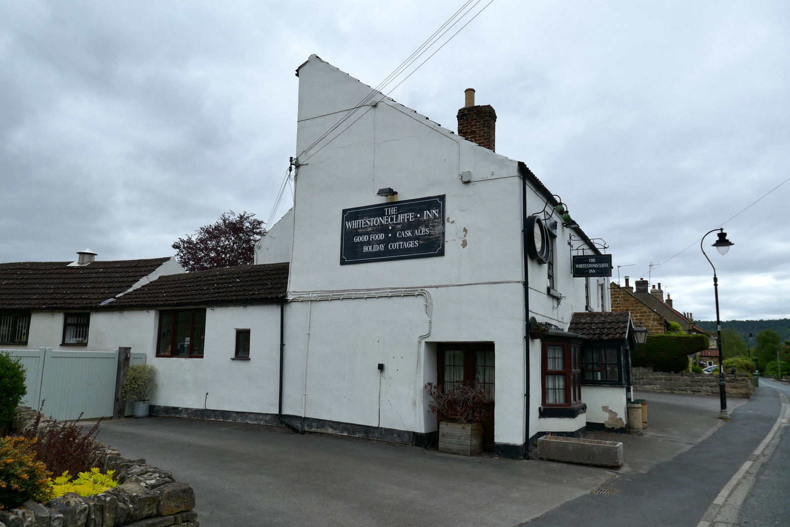
We drove into Sutton-under-Whitestonecliffe on the A170 from the A19 and parked in the Whitestonecliffe Inn Car Park. Tom Scott Burns tells us that hikers are welcome to use the inn's car park but twenty five years later, sadly the pub is no longer open for business. The enormous car park is still there however and there seems to be no objection to parking behind the pub.
.JPG) |
| Today's walk from The Walker's Guide to the Hambleton Hills |
We walked from the pub and turned right onto the A170 which we followed through the village, spotting several interesting weather vanes.
 |
| Weather vanes in Sutton-under-Whitestone Cliff |
 |
| Derelict Bamber House on the High Street |
 |
| Walking through the village |
 |
| Lots of flags today - VE Day |
 |
| The last stretch is on the busy road, more verge on this side |
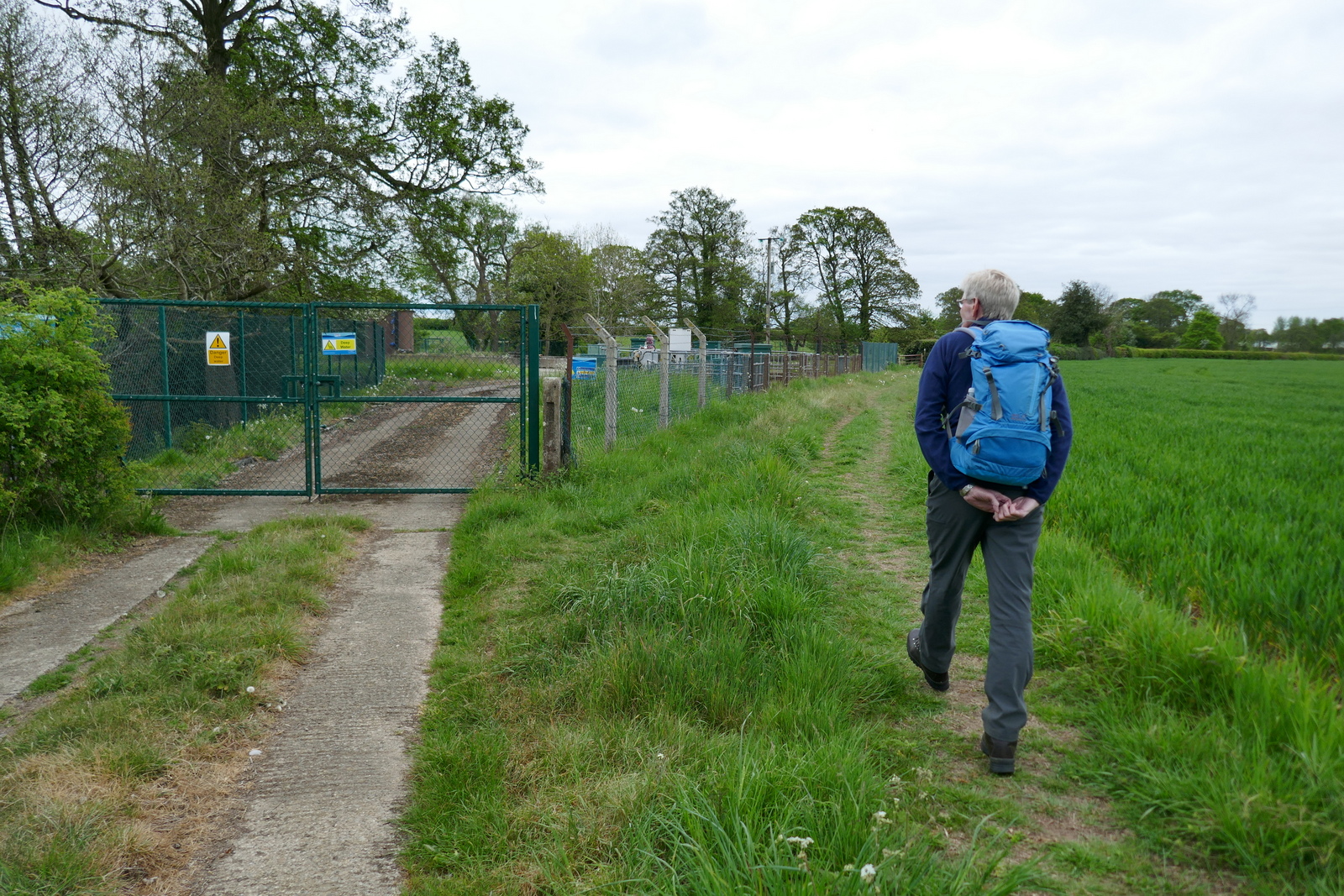
This is a busy road and traffic whizzed past us as we crossed the bridge over Sutton Beck and turned left off the road and into a track at a footpath sign.
 |
| Turn left off the road at the footpath sign |
 |
| New bee hives, a bit cool for bees today |
Our route led us straight across a field where a large herd of heifers waited in anticipation and rather than push through them we crossed the beck and walked up on the other side of it, recrossing when we were safely past them.
 |
| Keep right at the sewage works |
 |
| Hmm, young heifers! |
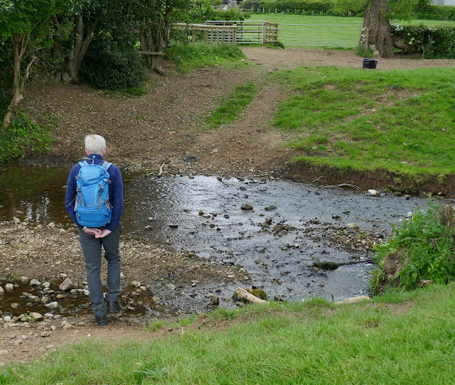 |
| Evasion. We cross the shallow Sutton Beck |
We then walked on through more fields next to Sutton Beck, until it emerges beyond a static caravan park at the tiny hamlet of Balk.
 |
| We re-emerge behind them |
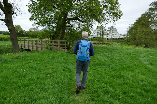 |
| ... and re-joined the path to cross the bridge |
 |
| Walking behind houses into Balk |
 |
| Mill House, Balk |
 |
| Alice in Wonderland - on a fence in Balk |
 |
| Business in Balk |
 |
| On the road to Bagby |
TSB tells us that Balk originates in the Old English 'balca' or 'bank' and would have applied to the ridge of land between Balk Beck and Hood Beck.
We walked into Balk and admired its three storey mill, now renovated into housing, and opposite it, the old mill buildings which have been taken over by a furniture manufacturer. We stayed on the road heading west until we reached the larger village of Bagby where we turned left onto a track near new housing just before entering the village. There is no obvious footpath sign here and when it does appear, 20 yards along the track, it is found almost hidden in bushes.
 |
| Turn left here as you enter Bagby |
 |
| You have to look for the sign! |
 |
| Weather vane in Bagby |
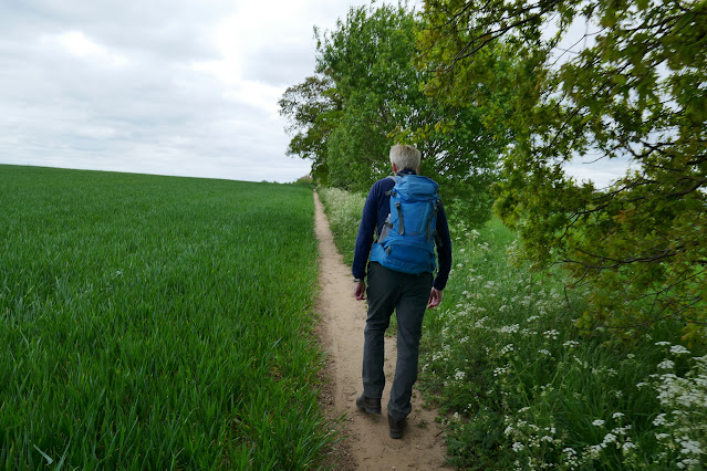
The gravel track leads to fields where we turned right to walk alongside the crops. As you see from the map above we are now headed south along this track to the village of Thirkleby. We passed by another caravan park at Pond Wood and the grounds of Thirkleby Hall before emerging on to the road by the old school house.
 |
| Leaving Bagby |
 |
| Residents of Bagley |
 |
| Passing cow parsley on field tracks |
 |
| Himalayan horse chestnut flowers |
 |
| Pond Wood Caravan Park |
 |
| Hawthorn in flower |
 |
| Houses of Thirkleby on the horizon |
 |
| Whitestone Cliff in the distance |
We walked through Great Thirkleby and came to the isolated church of All Saints' where we sat and enjoyed our coffee and scones.
 |
| All Saints at Thirkleby |
 |
| Very Gothic! |
 |
| "Er, have you got a duster?" |
After coffee we looked in at All Saints Church, which is open to visitors and is nicely kept and interesting to walk round. It is bigger than one would expect for the size of the village, with fine stained glass windows picturing St George and St Martin.
 |
| Looking towards the altar |
We continued across fields until reaching the large farm of Low Osgoodby Grange.
 |
| Dishevelled tups at Low Osgoodby Grange |
 |
| "Come and see me" |
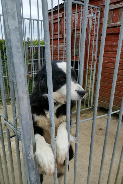 |
| Friendly sheepdog |
 |
| Walking away from the farm |
From Osgoodby Grange we followed the farm's track to the tarmac road where we turned left, heading back towards Balk. In the distance we could now see Whitestone Cliff.
Passing Mount Pleasant Farm we re-entered fields for a couple of miles and again found waymark signs to be sparse.
 |
| Chewing the cud at Mount Pleasant Farm |
 |
| "Hey, them ducks are pinching our hay!" |
More field paths returned us to Balk via Balk Wood Farm where once again we found our walk disturbed by cattle, this time milling about near the farm, perhaps waiting to be milked.
 |
| The cracks are inches deep |
 |
| The summer crops are suffering with drought conditions |
 |
| Our path goes right through the middle of that lot |
 |
| We're a friendly bunch |
Just before our field path returned us to the tiny village of Balk we turned right and followed the track, now clearly way-marked, across fields until reaching the road at Sutton-under-Whitestonecliffe. Here we turned right and walked back to the Whitestonecliffe Inn and the car park.
 |
| Back to Sutton-under-Whitestone Cliff |
 |
| Sutton Hall, now luxury apartments |
An enjoyable walk although care must be taken with route finding after Thirkleby.
A short drive took us to Kilburn and our de-brief at the Forresters Arms.
 |
| To TSB! |
.JPG)