Caydale and Noddle End from Murton
7.5 miles warm and sunny
Tom Scott Burns tells us that a 'grange' was a farmhouse attached to a religious order and Murton Grange belonged to the monks of nearby Byland Abbey. We drove to Murton Grange from the Laskill turn-off from the B1257 Stokesley to Helmsley road and parked on the verge near to the white buildings of the grange.
 |
| Today's walk from The Walker's Guide to the Hambleton Hills |
 |
| Murton Grange |
We did this walk last year in thick mist but today we have sun, warmth and clear views. Our path led us along the tarmac road past the Grange and as we walked we noticed a very strong and pleasant smell of aniseed. We came to a gate off the road, arriving at the same time as a farmer in his 4x4 who stopped to pass the time of day. Clive asked him about the aniseed smell and he explained it was from the plants that grew at the roadside. He said that if he drove over them the smell became intense. (On looking these plants up at home I see that they are Sweet Cicely although now passed flowering)
 |
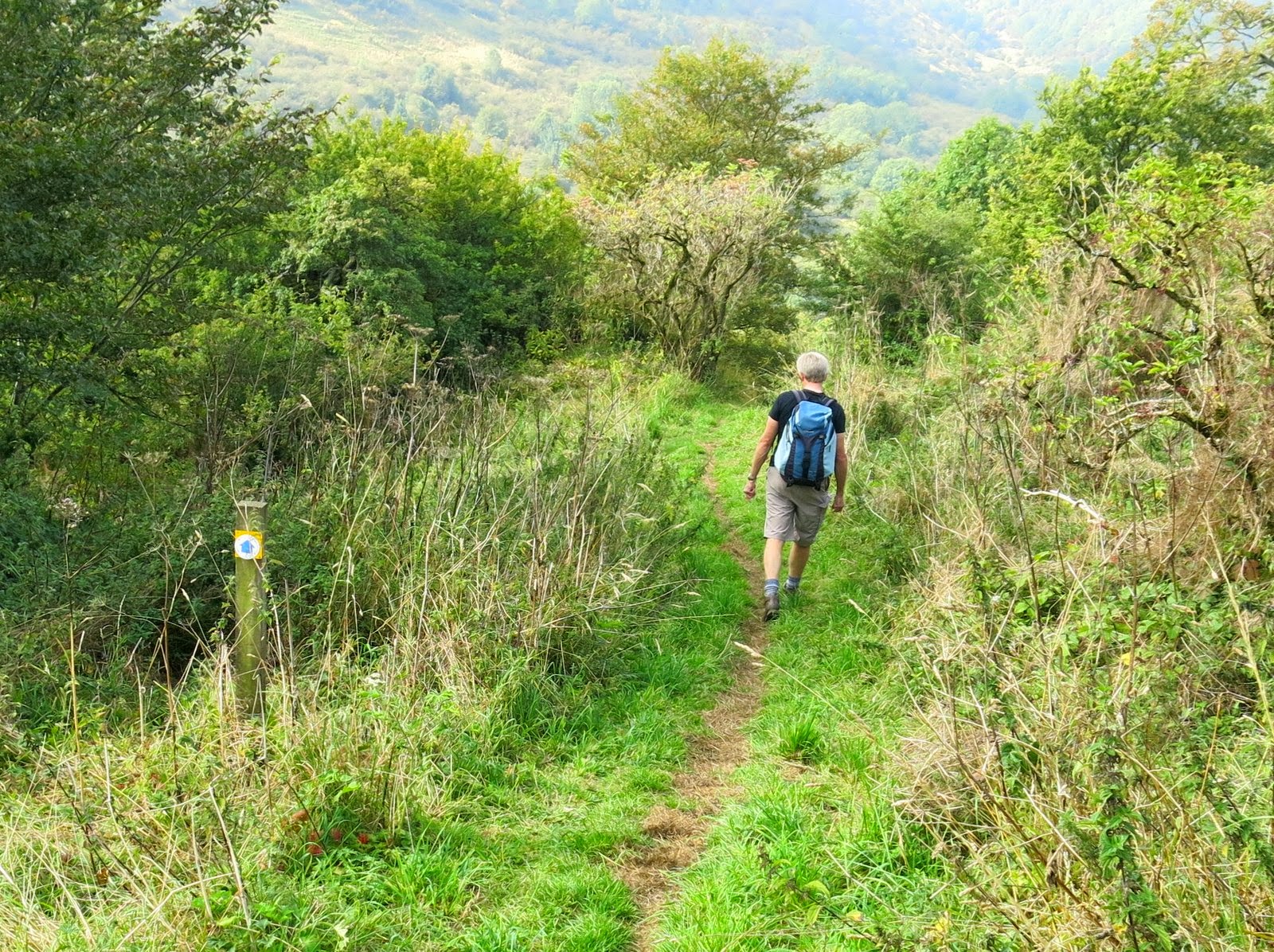
| We leave the tarmac at this gate |
 |
| The farmer identified the source of the aniseed smell |
|
|
Tom Scott Burns mentions that the last wild cat in Yorkshire was shot at this point in 1840 by a certain Charles Harrison. We now walked down from the road into the very pretty and peaceful valley of Caysdale, crossing the stream at the base of the valley by a wooden bridge.
 |
| Looking back at Murton Grange from our path |
 |
| Walking down into Caysdale Valley |
 |
| The stream at Caysdale |
As we climbed the other side we passed by a very old and unusable bench which is shown on the map as Captain's Seat. We wondered who the Captain was and what brought him to this lonely spot to sit. A little further on our path turned right onto the tarmac of Wethercote Lane, which we walked for the next mile. On the left we passed Wethercote Farm and were amused at the Cat and Mouse weather vane.
 |
| Clive eats blackberries as we climb out of Caysdale |
 |
| A rest half way up |
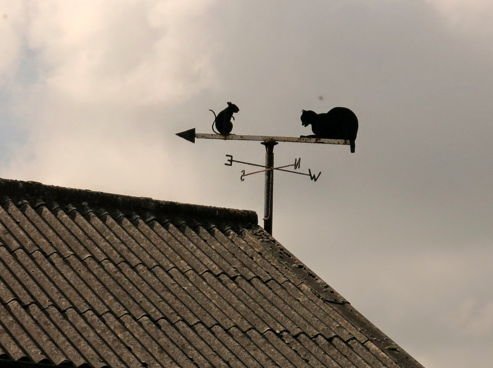 |
| Weather vane at Wethercote Farm |
We crossed the drovers road and the path followed field boundaries to the cliffs of Boltby Scar, where we saw a field of sunflowers, most unexpected on the moor top. We reached the moor gate and turned right, walking for a short while along the cliffs we last walked from Boltby two weeks ago . This time we went straight ahead at the Old Barn instead of turning down towards Boltby, and in a short time found a spot in the sun where we sat and enjoyed our coffee and scones.
 |
| Across Hambleton Mosses to Boltby Scar |
 |
| Sunflowers on the moors |
 |
| Moor Gate |
 |
| Boltby lies below |
 |
| Approaching High Barn |
Sitting in the sun we watched a large flock of lapwings circling higher and higher on thermals until they eventually disappeared into the clouds.
 |
| Lapwings (and dust spots on the lens!) |
Much refreshed we walked on down to cross Sneck Yate Bank to follow a woodland track to High Paradise Farm. The last time we visited High Paradise Farm there were fancy hens and piglets but now a new notice advertised a tea room and we saw tables and chairs in a neat garden. It was too soon after our stop to be tempted, so we pressed on past the farm, soon reaching the Hambleton Drove Road.
 |
| New sign and tea room notice at High Paradise |
 |
| Entering High Paradise Farm |
 |
| Hambleton Drove Road |
When we reached the Drove Road we immediately went through a gate on the opposite side of the byway and followed a track next to a dry stone wall which led us to Dale Town Common. Leaving the common we gradually lost height on Gowerdale Bank and then reached a ramshackle barn at Noddle End, where we had a magnificent view into Dale Town down below.
 |
| Heather on Dale Town Common |
 |
| Gowerdale Bank |
 |
| Old barn at Noddle End |
Our path led steeply downhill to a single deserted farmstead, Gowerdale House. This area was the site of what was once a medieval village, long abandoned. TSB speculates whether the Black Death visited this secluded valley.
 |
| Walking down from Noddle End |
 |
| Gowerdale House |
We walked in front of the house which had the bleak message, "Look around and get out!" painted on the front door, and followed a rising path through the yard of Dale Town Farm. We admired an old Range Rover with huge wheels which would be handy for driving in this steep valley, then climbed straight uphill from the farm, right and then left along Peak Scar Top, soon reaching Murton Bank Road and our car.
 |
| Chopped Range Rover |
 |
| Dale Town Farm |
 |
| Looking back at Dale Town Farm from Peak Top Scar |


