Hazel Head to Arnsgill and Cow Ridge
7 miles Cold and sunny
We approached Hazel Head Car Park via a 6 mile drive along the unclassified road from Osmotherley, as suggested by Thomas Scott Burns in The Walker's Guide to the Cleveland Hills. The road was icy and very narrow, making progress very slow and on reflection we think a better route would have been along the B1257 to Helmsley, then to Hazel Head via Hawnby. This would have been only slightly shorter but a much better road.
 |
| Today's walk from The Walker's Guide to the Cleveland Hills |
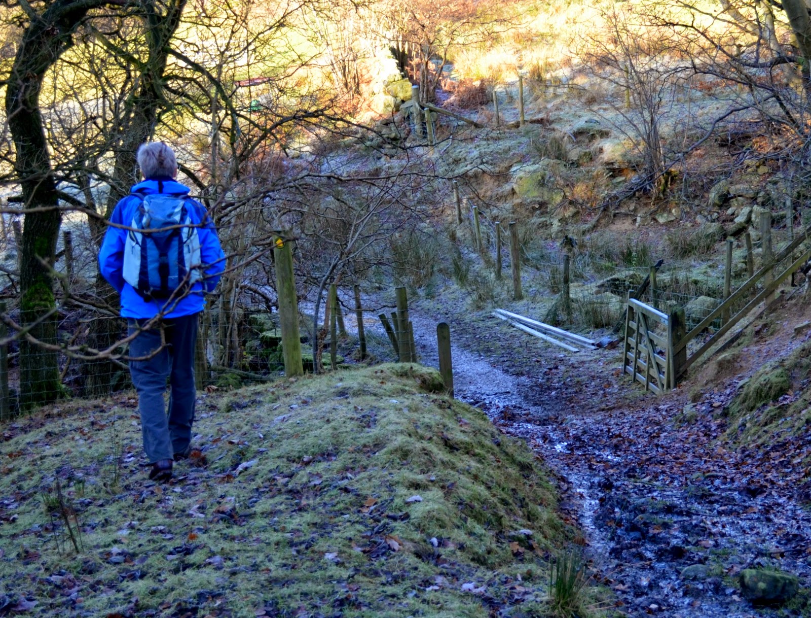
Leaving the car park we walked back along the road into the pretty valley of Blow Gill. At the roadside immediately opposite is an old lime kiln, the first of several we saw today. Continuing uphill from Blow Gill we turned sharp left into the gateway of Street Gate Farm. Our path ran to the side of the farm building and quickly became very boggy.
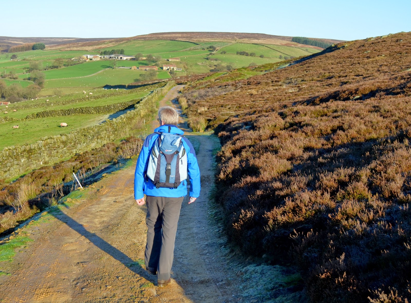
Passing by two fields of sheep we saw a dead sheep in each field and then reached Hagg House, where there was a pen containing a dozen spaniels who set off a terrific noise, howling and barking at us as we passed. Hanging from a line were lots of small traps, obviously there is a hunting enthusiast at this farm. The path continued straight on, relentlessly boggy and we came upon a third dead sheep at the side of the path. What had caused these fatalities? Although today was beautiful weather without a cloud in the sky, it was cold and the ground was icy and still below zero at this height; perhaps the cold had finished off sickly animals. We passed by Birkwood Farm where we were thankful to rejoin the road for a moment. I have marked this last stretch on the map above and unless there has been a long dry spell I would advise sticking to the road from Hazel Head all the way to Birkwood Farm. The footpath we followed was situated well below the road and water was constantly draining down from woods and fields making a swamp of the track.
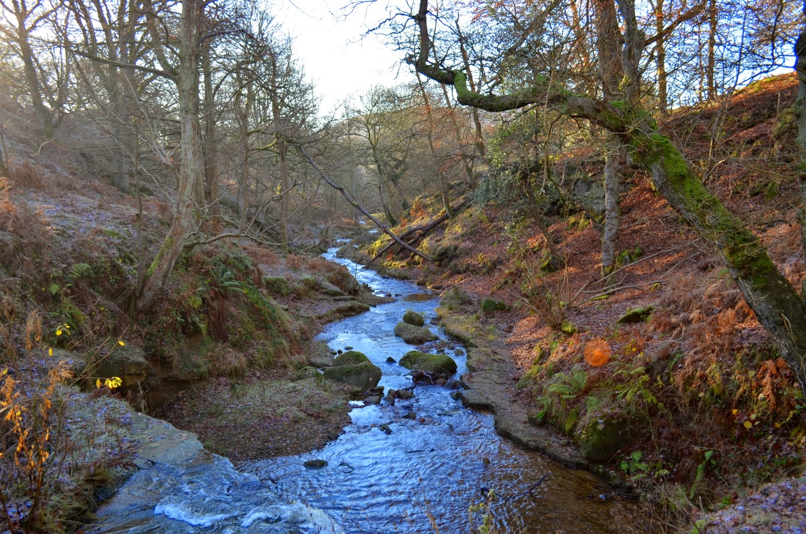 |
| Blow Gill |
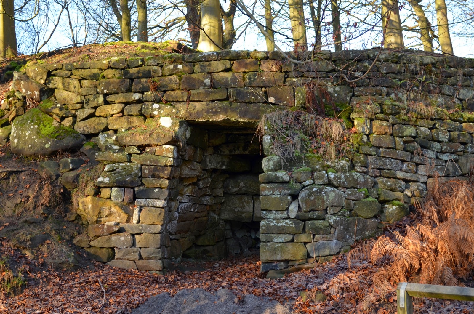 |
| Lime Kiln at Blow Gill |
 |
| Blow Gill |
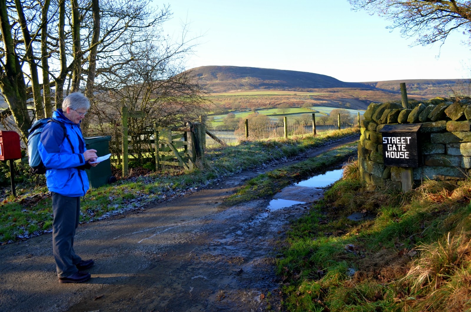 |
| We leave the road at Street Gate House Farm |
 |
| Street Gate House Farm |
Passing by two fields of sheep we saw a dead sheep in each field and then reached Hagg House, where there was a pen containing a dozen spaniels who set off a terrific noise, howling and barking at us as we passed. Hanging from a line were lots of small traps, obviously there is a hunting enthusiast at this farm. The path continued straight on, relentlessly boggy and we came upon a third dead sheep at the side of the path. What had caused these fatalities? Although today was beautiful weather without a cloud in the sky, it was cold and the ground was icy and still below zero at this height; perhaps the cold had finished off sickly animals. We passed by Birkwood Farm where we were thankful to rejoin the road for a moment. I have marked this last stretch on the map above and unless there has been a long dry spell I would advise sticking to the road from Hazel Head all the way to Birkwood Farm. The footpath we followed was situated well below the road and water was constantly draining down from woods and fields making a swamp of the track.
 |
| Frozen grass makes a good alternative to mud |
 |
| Hagg House |
 |
| Fallen Sheep, muddy path |
 |
| Climbing out of the mud at Birkwood Farm |
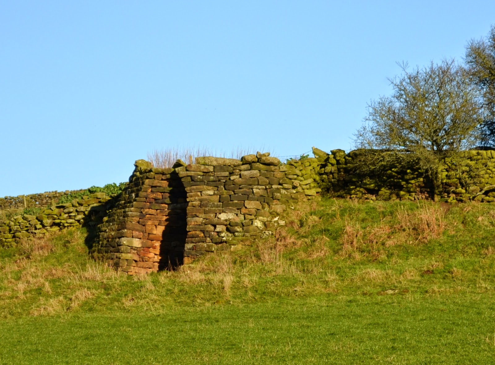
After climbing to the road at Birkwood Farm we admired a pile of beet, probably winter feed, then turned right past another lime kiln for a hundred yards, before turning left onto a farm track to Hill End Farm. Here we admired a crude 'post box' manufactured from an old container and nailed to the farm gate. As we passed by Hill End Farm we saw yet another lime kiln. TSB describes how many farms in this area had their own lime kilns, the lime being used for lime washing walls but also for spreading on the land, a custom dating back to Roman times. The acidic moorland soil is neutralised by the lime allowing more varied crops to be grown. The burnt limestone is reduced to calcium oxide or quicklime which was spread at the rate of 2 tons an acre.
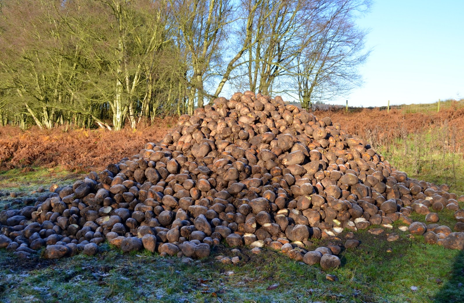 |
| Sugar beet |
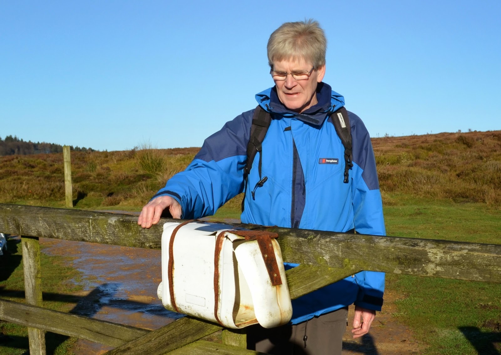 |
| No post today! |
 |
| Hill End Farm ahead |
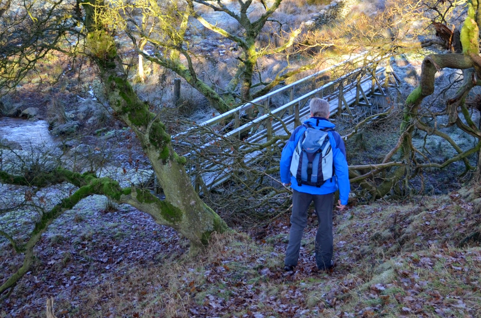 |
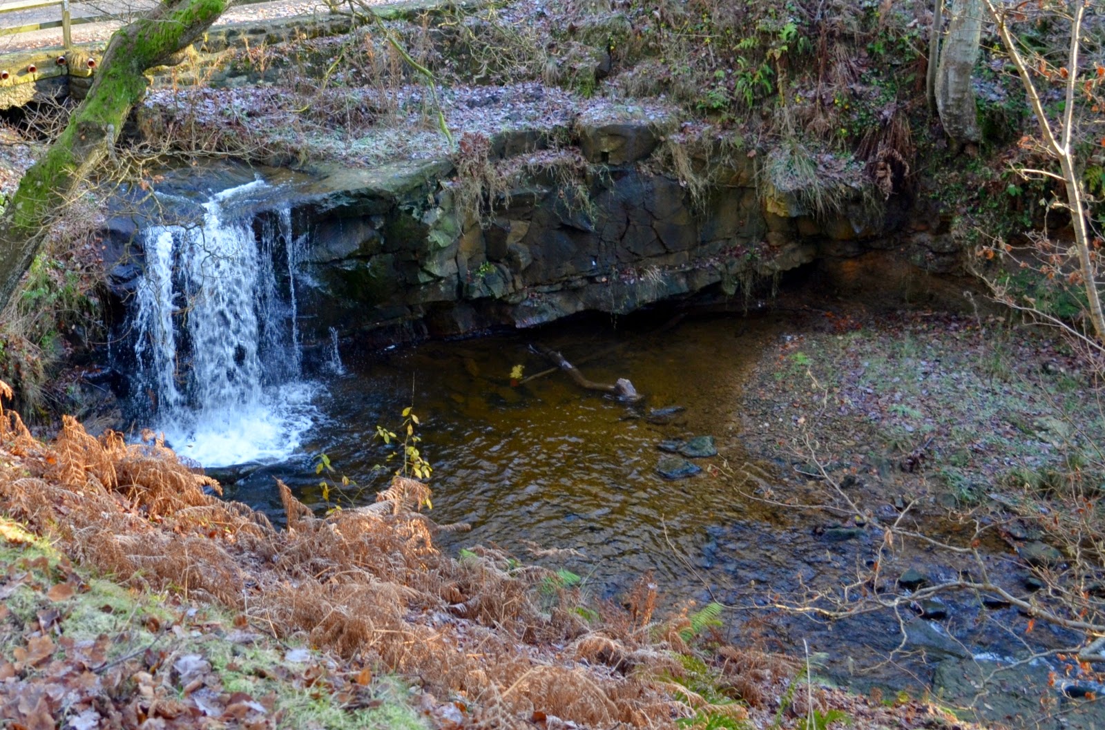
| Crossing Arns Gill |
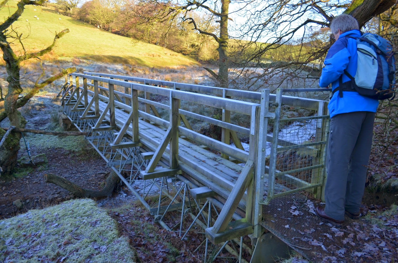 |
| Gated footbridge over Arns Gill |
 |
| Hill End Farm's lime kiln |
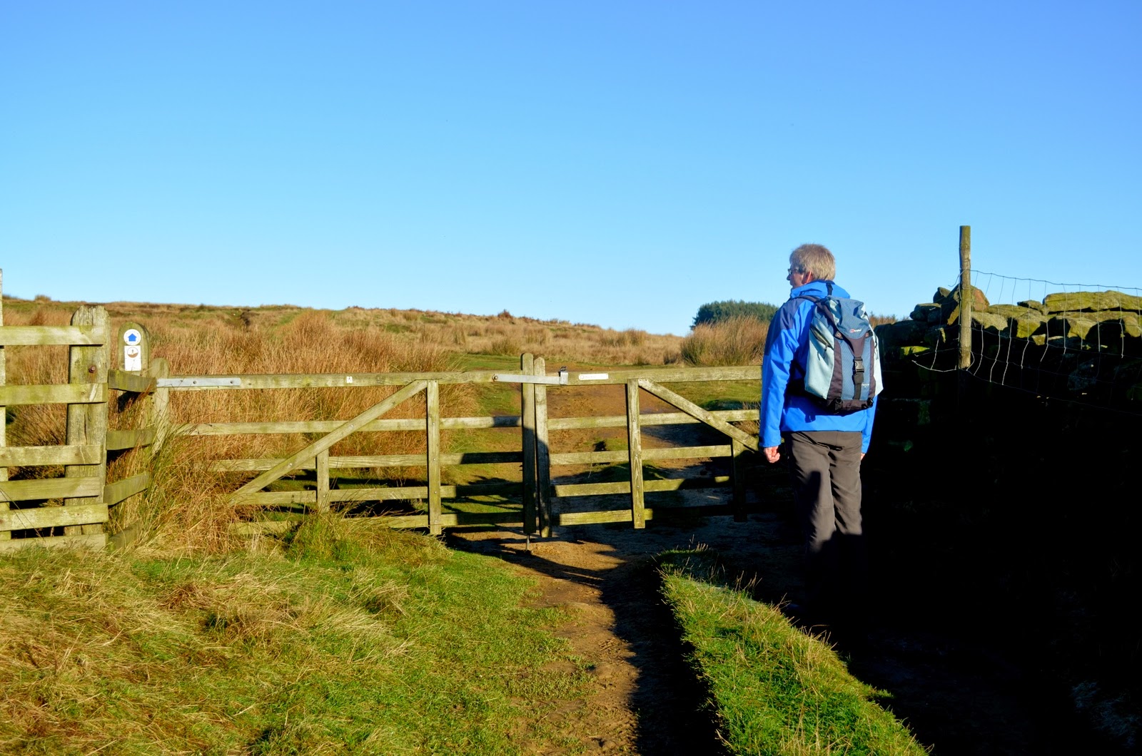
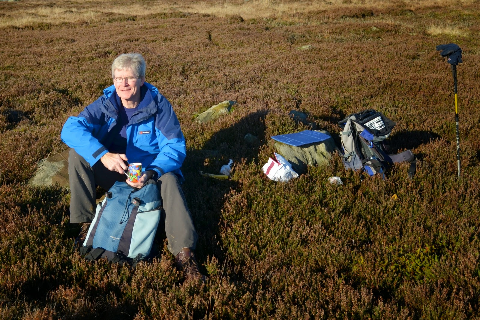
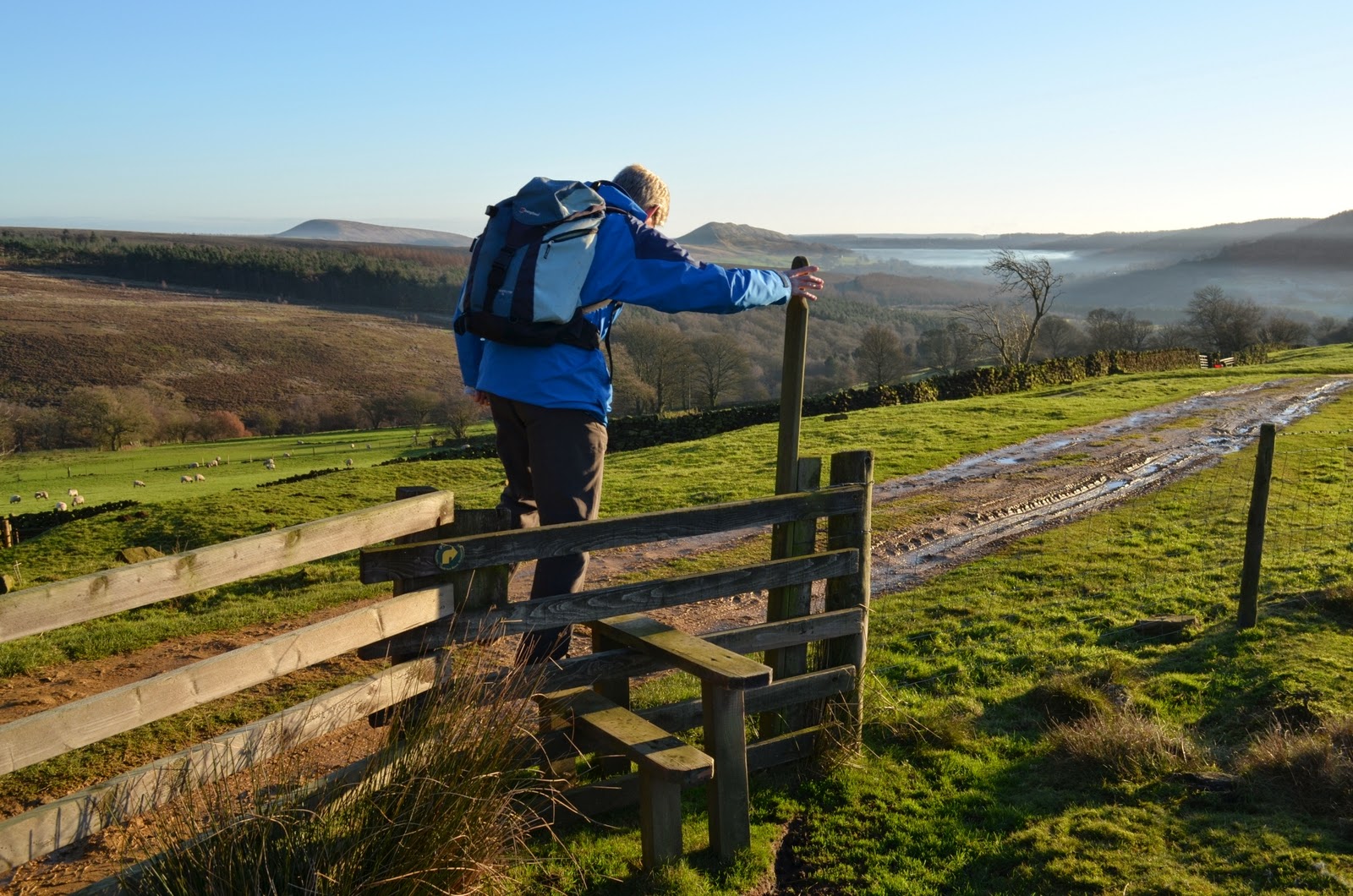
Our path passed by the side of the farm and we climbed towards Arnsgill Ridge after going through the moor gate. As we reached the Ridge we saw a couple of flat rocks ahead that would just do for a coffee stop, and we relaxed with our coffee and scones with not a breath of wind to ruffle us.
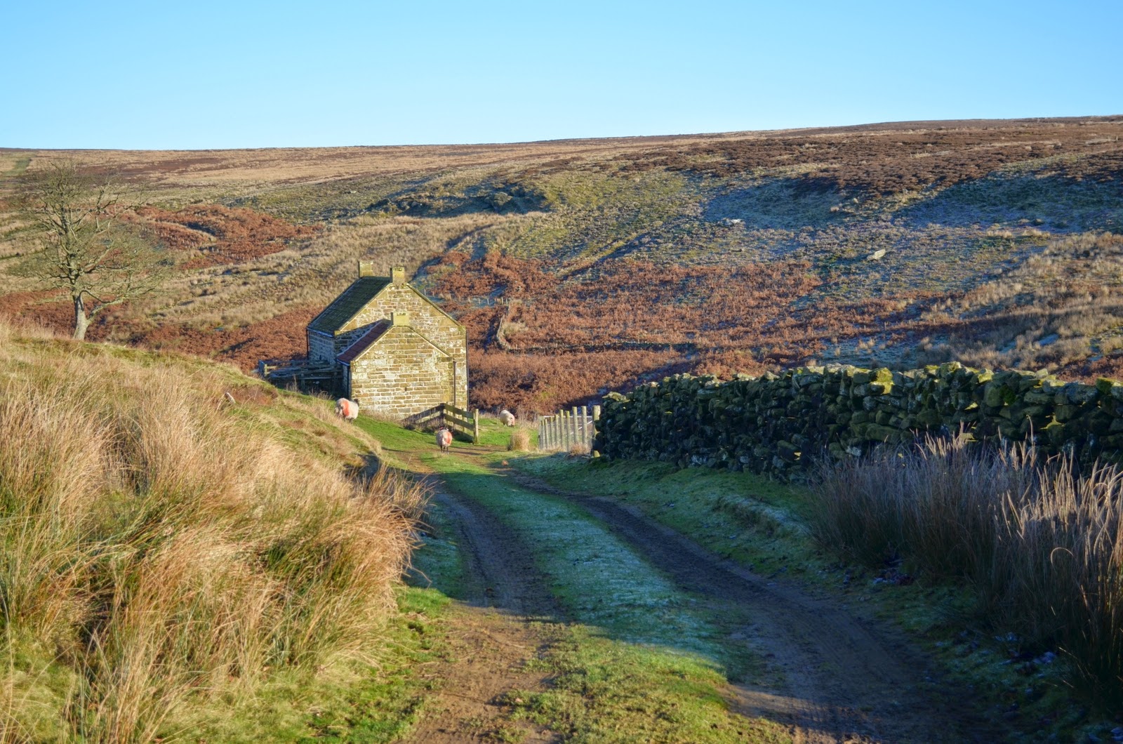
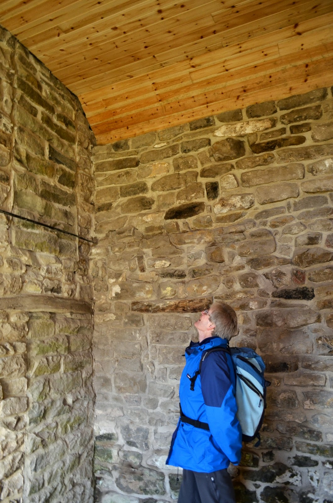
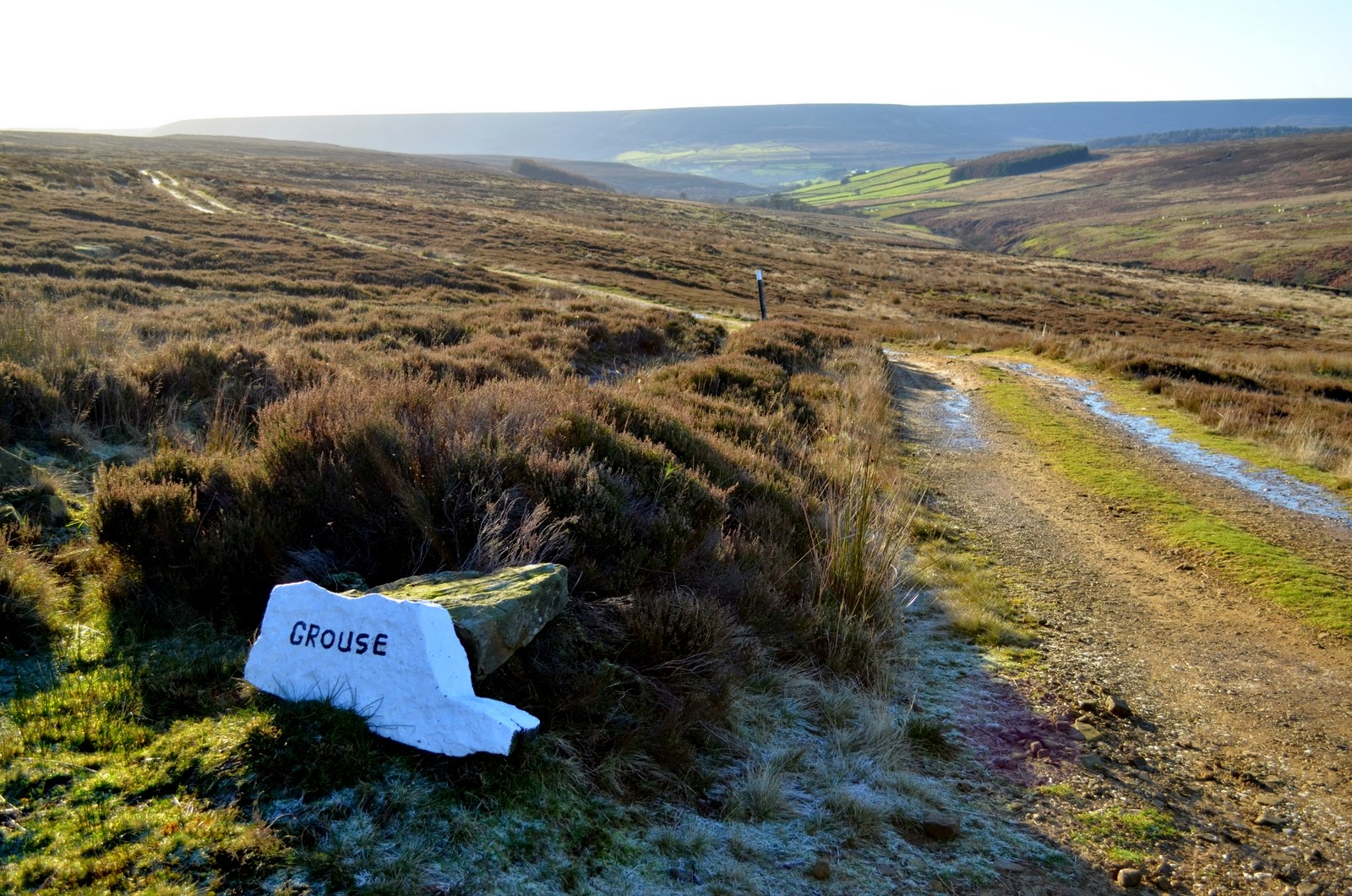
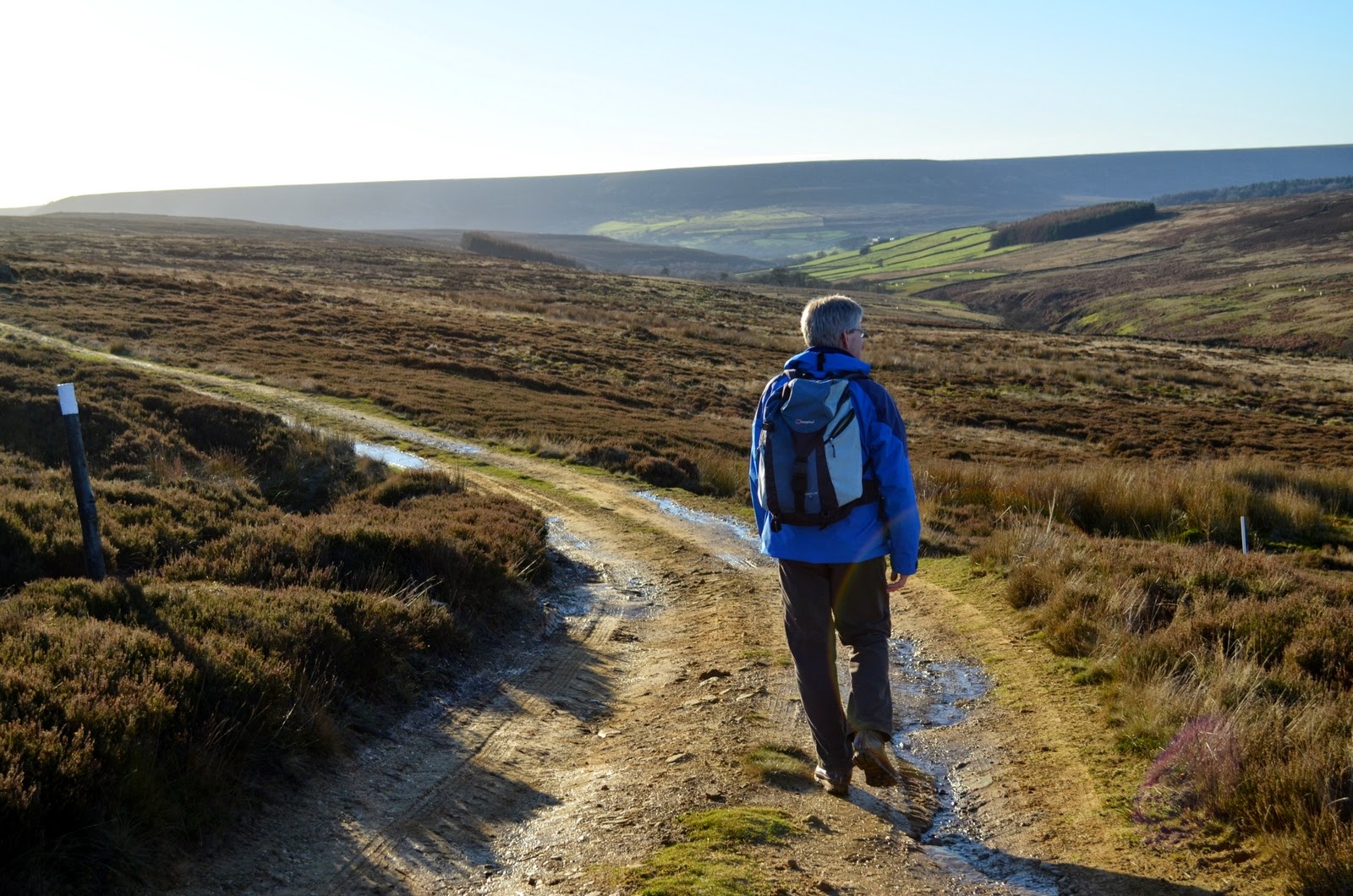
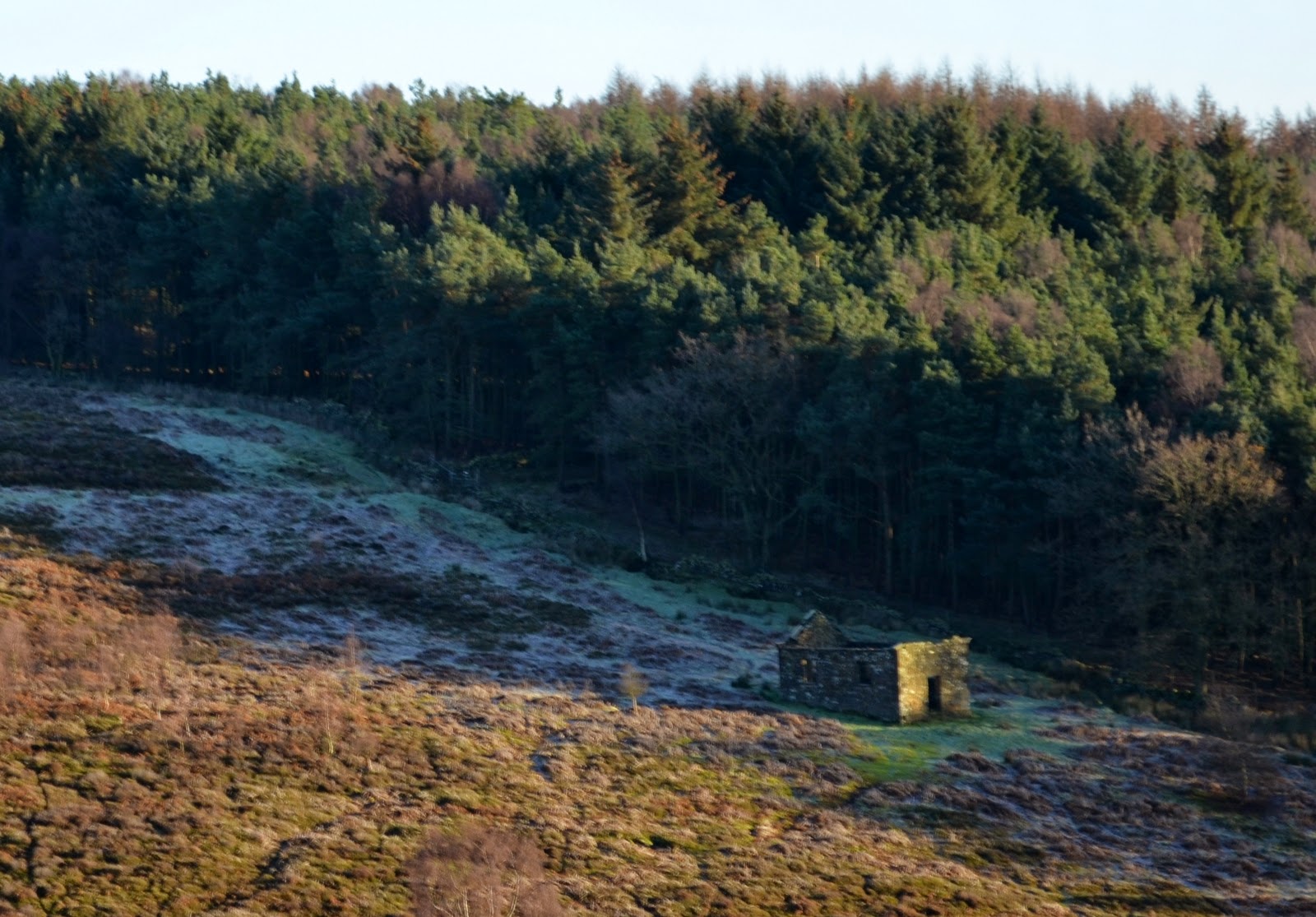
We set off again, now on a shooters' track and headed straight along Arnsgill Ridge for a couple of miles until we reached Head House. Clive and I passed by here a couple of years ago on a rainy day, Head House was then a ruin and provided us with shelter of sorts while we had lunch, but today we saw that someone has been renovating the building. The roof had been re-tiled and windows and doors added. It was secured only with a hasp, however, so is still available should shelter be needed. We looked inside and saw that a lot of work was still required if it was to be habitable again.
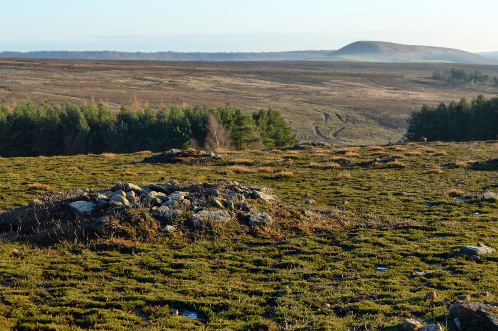
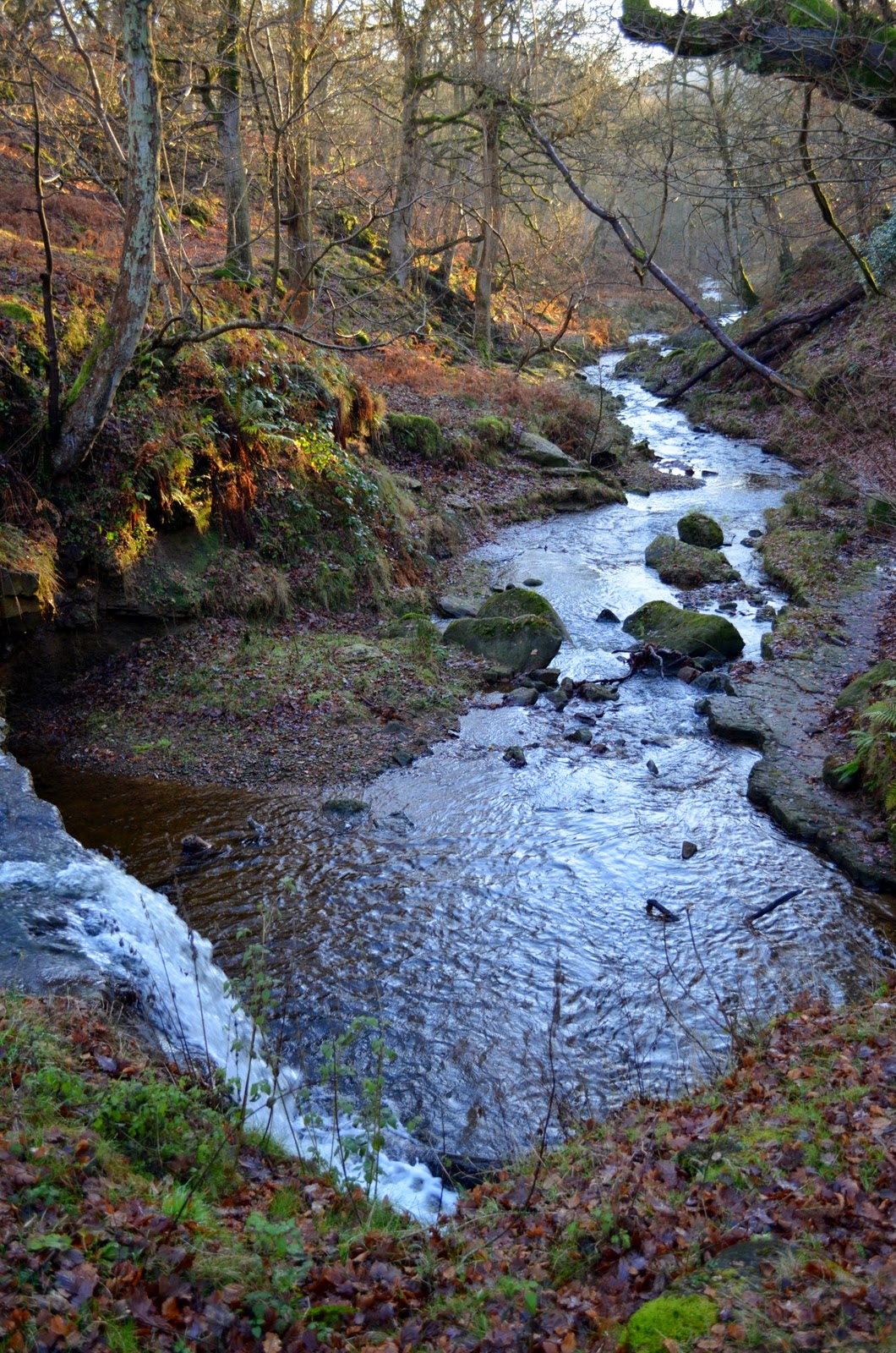
This marked the farthest point of our walk and we crossed Arns Gill again and walked back up to Cow Ridge, heading back parallel to Arnsgill Ridge. After little more than a mile we came to a cairn which marked the area known as Iron Howe, where there are the remains of enclosures and cairns dating back to the the Bronze Age. These just appear to be lumps and bumps and piles of stones but it is obvious that they are not a natural landscape. TSB says that these remains were left by the 'Beaker People' and there are a lot of burial mounds on the moors in which the earliest pot drinking vessels, or 'beakers' have been found.
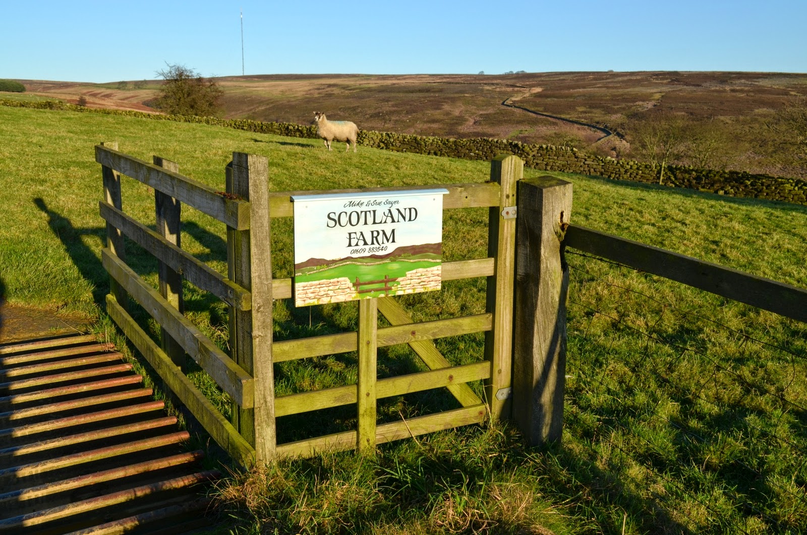
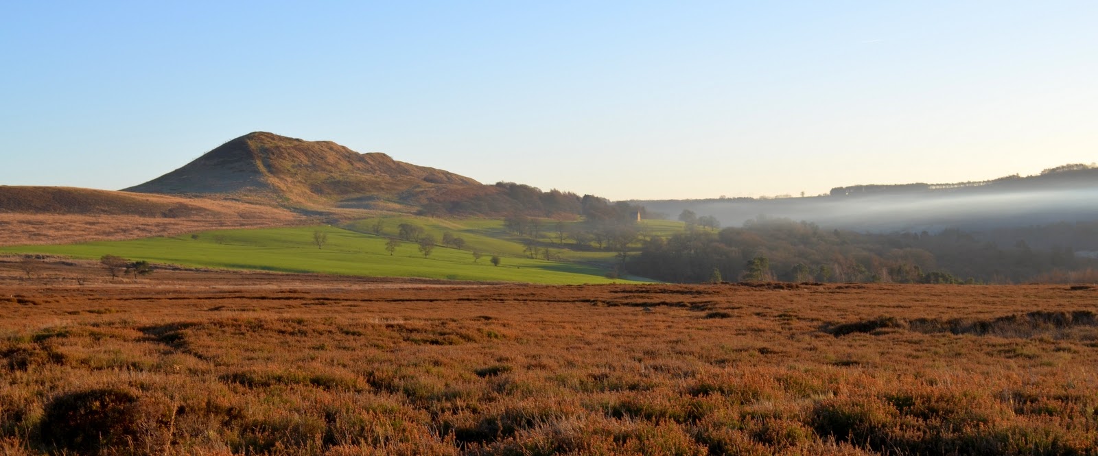
We started to walk from Iron Howe downhill towards Blow Gill. We had superb views towards Hawnby Hill and Easterside Hill in the distance, with mist lingering in the valley beneath. We followed our path past the strangely named Scotland Farm, spotting the old Wesleyan Chapel on the left where we stopped for lunch a couple of months ago when we walked 'Hawnby Hill and Hazel Head from Hawnby' (see 2nd October). One of the interesting things about TSB's walks is that they cross the Cleveland and Hambleton Hills, each hike bordering on the next so that one can make sense of the landscape.
We walked up to join the road and turned left to recross Blow Gill and walk up to our car.
 |
| Moor gate |
 |
| Coffee in the sun |
We set off again, now on a shooters' track and headed straight along Arnsgill Ridge for a couple of miles until we reached Head House. Clive and I passed by here a couple of years ago on a rainy day, Head House was then a ruin and provided us with shelter of sorts while we had lunch, but today we saw that someone has been renovating the building. The roof had been re-tiled and windows and doors added. It was secured only with a hasp, however, so is still available should shelter be needed. We looked inside and saw that a lot of work was still required if it was to be habitable again.
 |
| Approaching Head House |
 |
| We admire the improvements |
 |
| New roof inside |
 |
| Approach to Head House, 4 wheel drive a must! |
This marked the farthest point of our walk and we crossed Arns Gill again and walked back up to Cow Ridge, heading back parallel to Arnsgill Ridge. After little more than a mile we came to a cairn which marked the area known as Iron Howe, where there are the remains of enclosures and cairns dating back to the the Bronze Age. These just appear to be lumps and bumps and piles of stones but it is obvious that they are not a natural landscape. TSB says that these remains were left by the 'Beaker People' and there are a lot of burial mounds on the moors in which the earliest pot drinking vessels, or 'beakers' have been found.
 |
| Stating the bleedin' obvious |
 |
| Cow Ridge |
 |
| A trap (mink?) set across a stream on Cow Ridge |
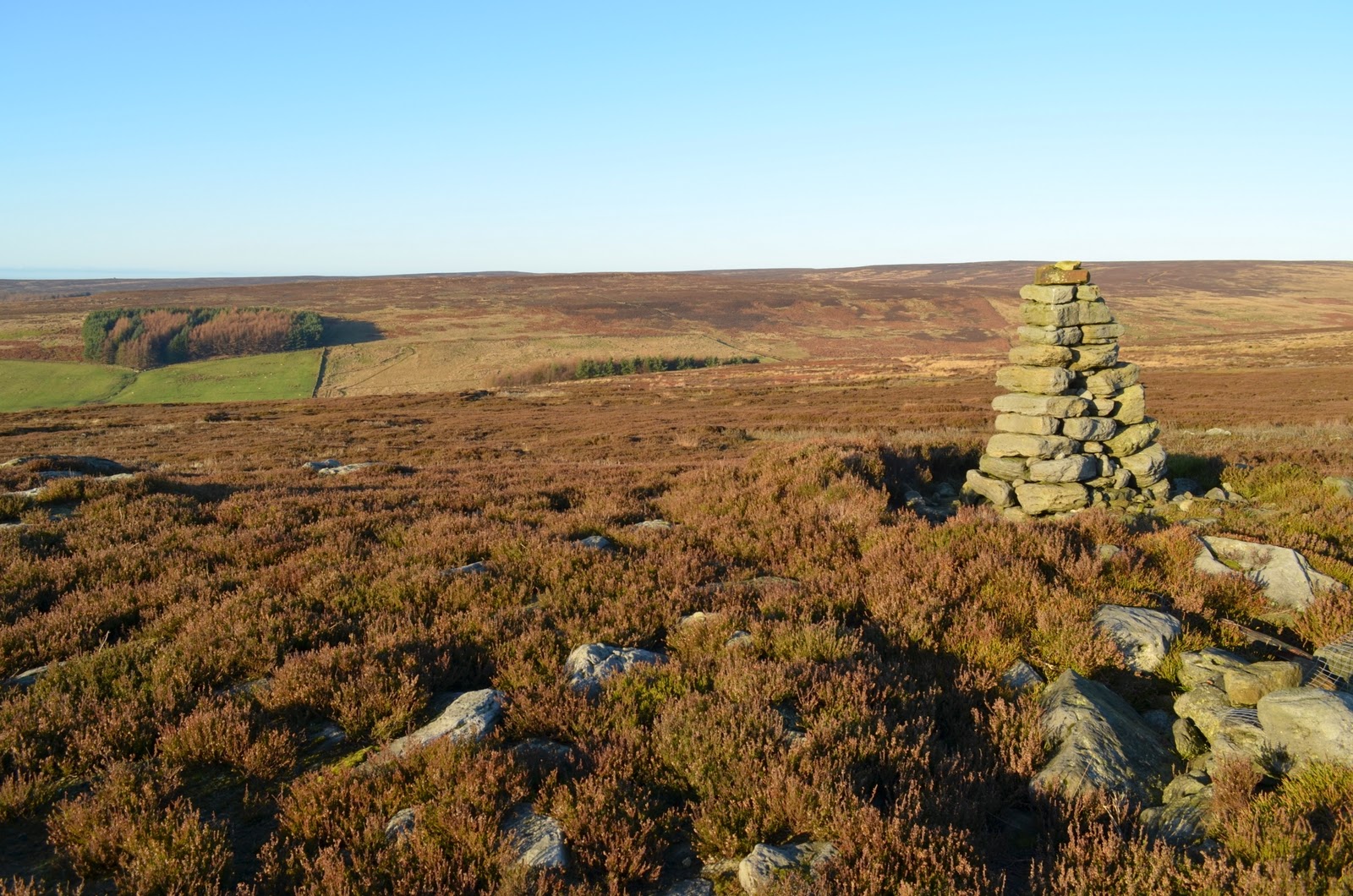 |
| Cairn at Iron Howe |
 |
| Bronze Age remains |
We started to walk from Iron Howe downhill towards Blow Gill. We had superb views towards Hawnby Hill and Easterside Hill in the distance, with mist lingering in the valley beneath. We followed our path past the strangely named Scotland Farm, spotting the old Wesleyan Chapel on the left where we stopped for lunch a couple of months ago when we walked 'Hawnby Hill and Hazel Head from Hawnby' (see 2nd October). One of the interesting things about TSB's walks is that they cross the Cleveland and Hambleton Hills, each hike bordering on the next so that one can make sense of the landscape.
 |
| Easterside Hill and Hawby Hill, mist below |
 |
| Joining the farm track at Scotland Farm |
 |
| Scotland Farm |
 |
| Unusual name for these parts |
 | |
| Wesleyan Chapel |
We walked up to join the road and turned left to recross Blow Gill and walk up to our car.
 |
| Back down to Blow Gill, ground fog in the distance |
 |
| Blow Gill |
 |
| Hawnby Hill |


