Raisdale and Clough from Chop Gate
6.5 miles Cold and windy with snow showers
Not quite a Tom Scott Burns walk
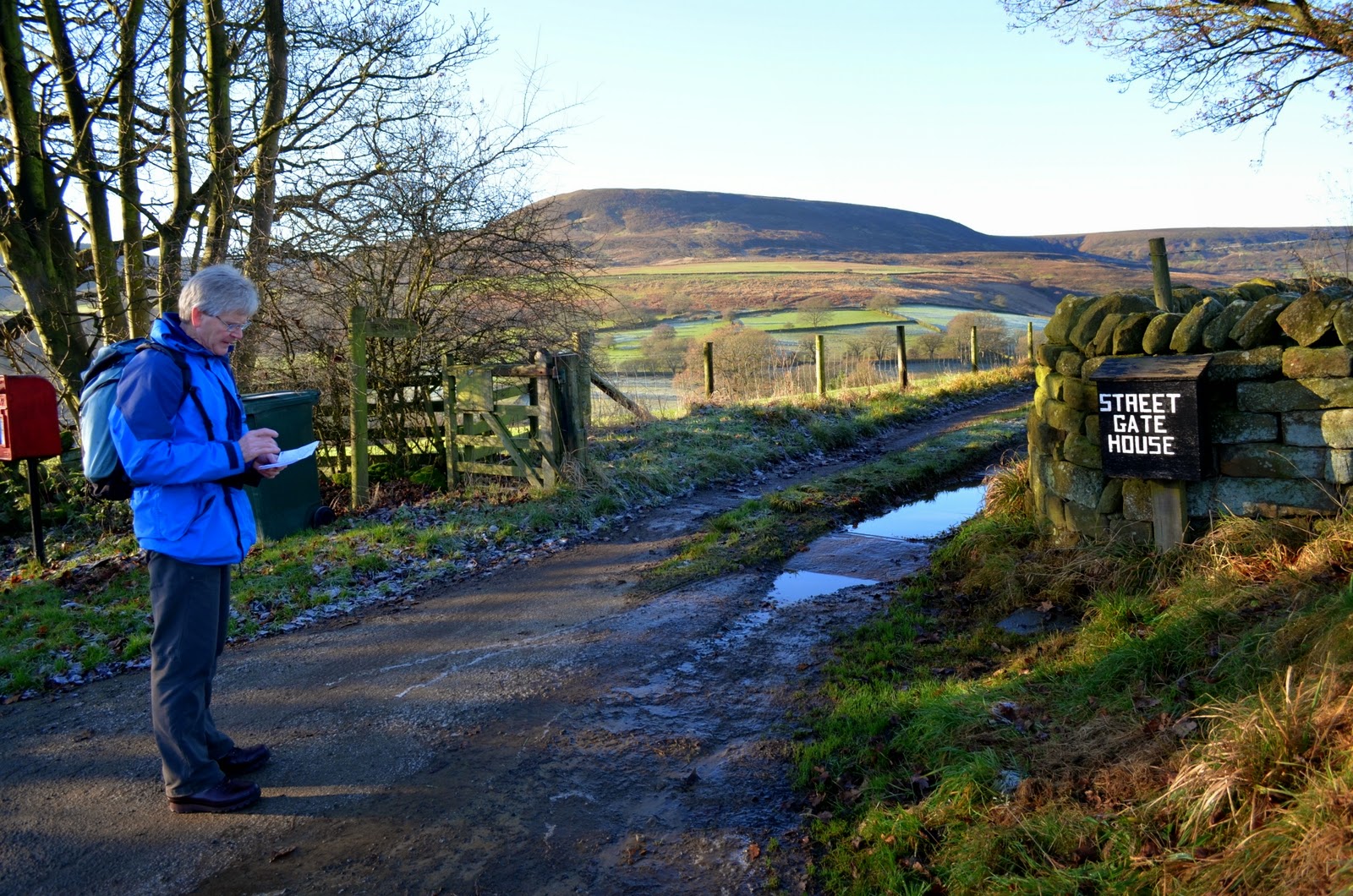
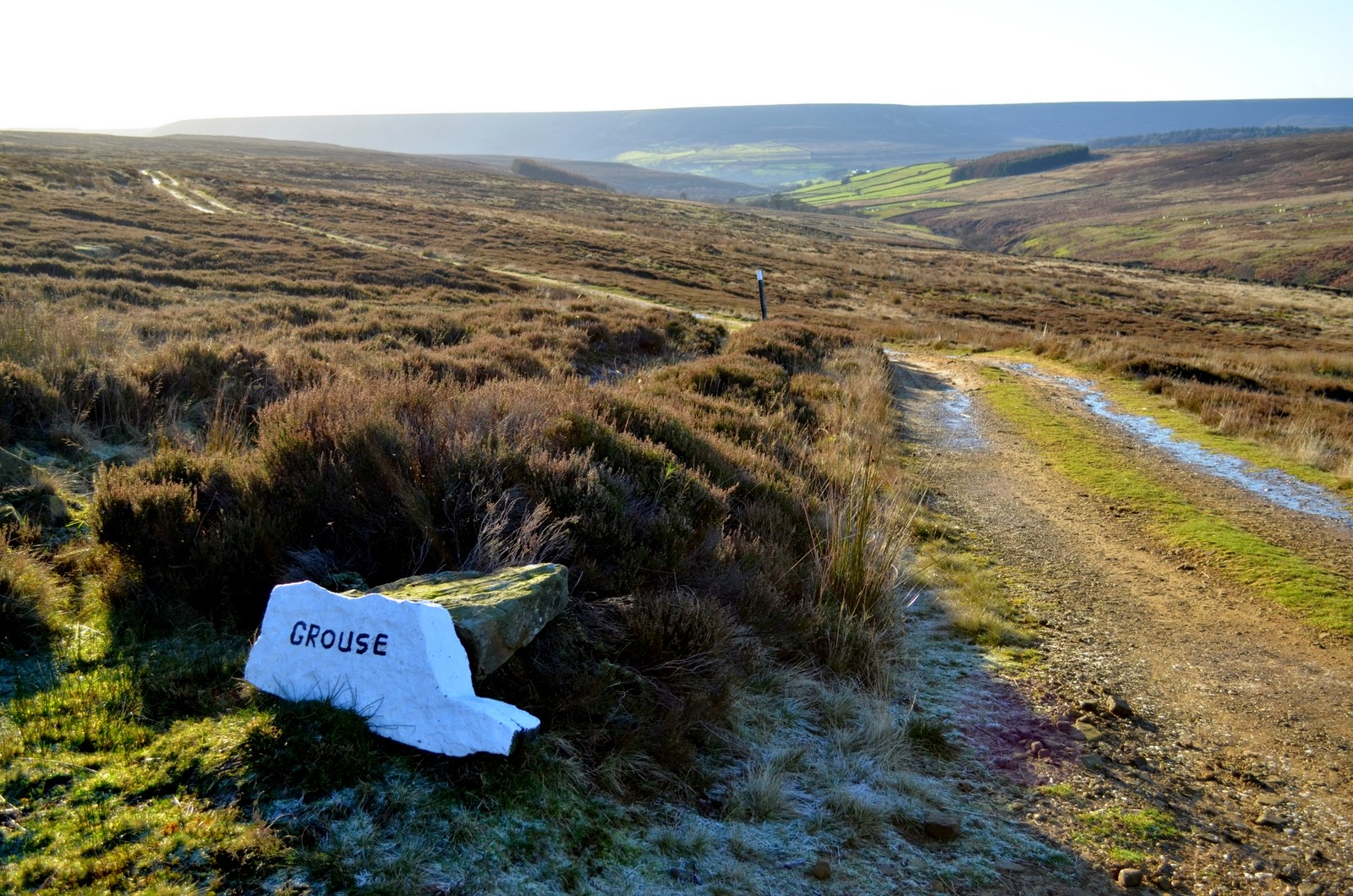
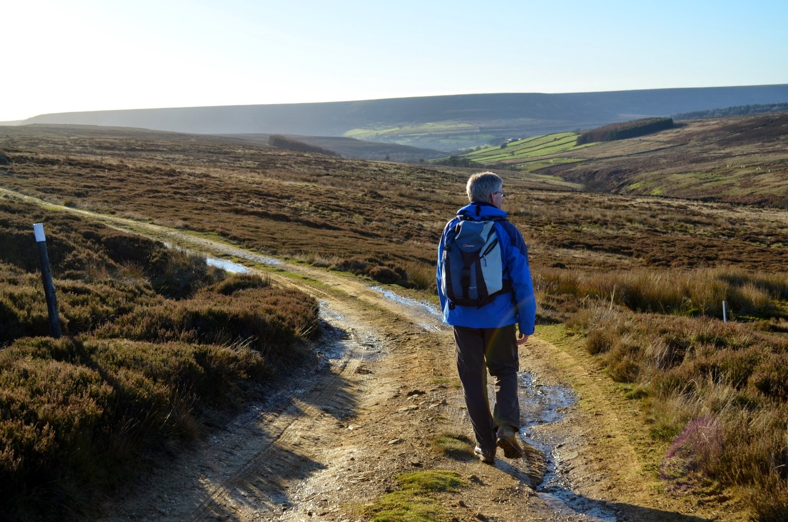
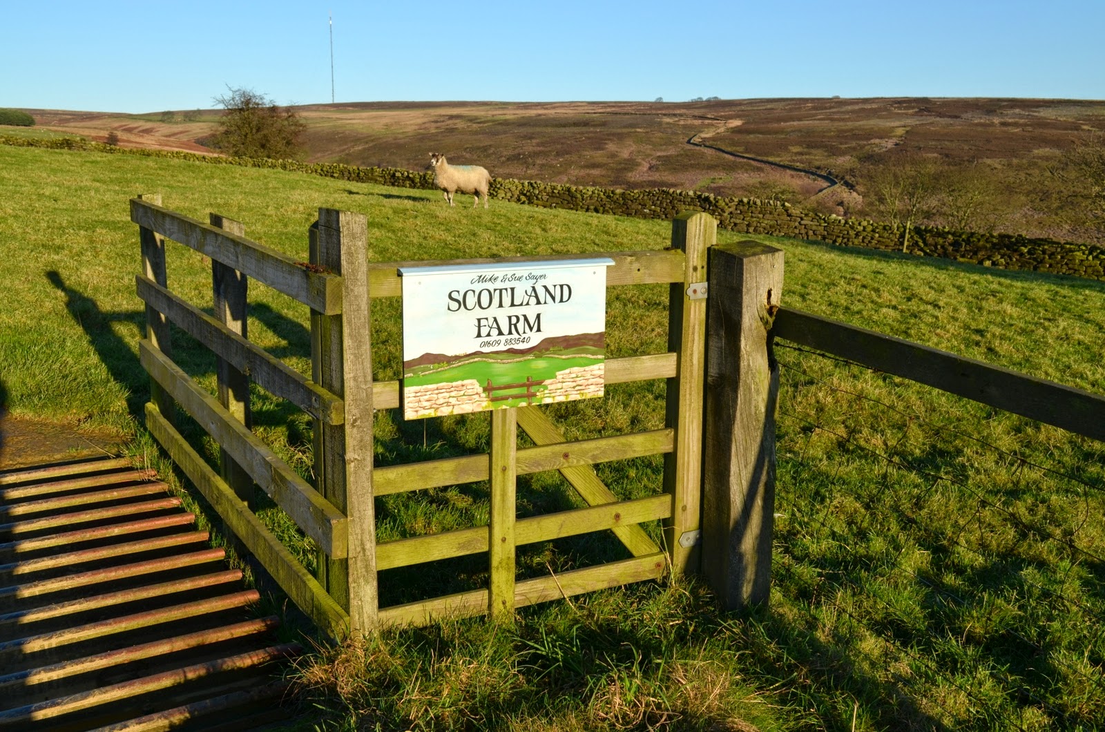
Our plan had been to follow a Tom Scott Burns' walk to Cringle Moor and Clough from Lords Stone but a thin layer of snow and ice covered the bank up to Lords Stone from Carlton and we just made it to the top. As we arrived at a deserted Lords Stone more snow started to fall and fearing the car getting stuck on top we carried on along Raisdale Road to the safety of Chop Gate where we parked in the community centre car park, which we were surprised to find has become a 'pay and display' car park. We decided that we would walk from here, doing part of Tom Scott Burns' walk as planned, but veering off to return to Chop Gate.
 |
| Today's 'off the cuff' walk |
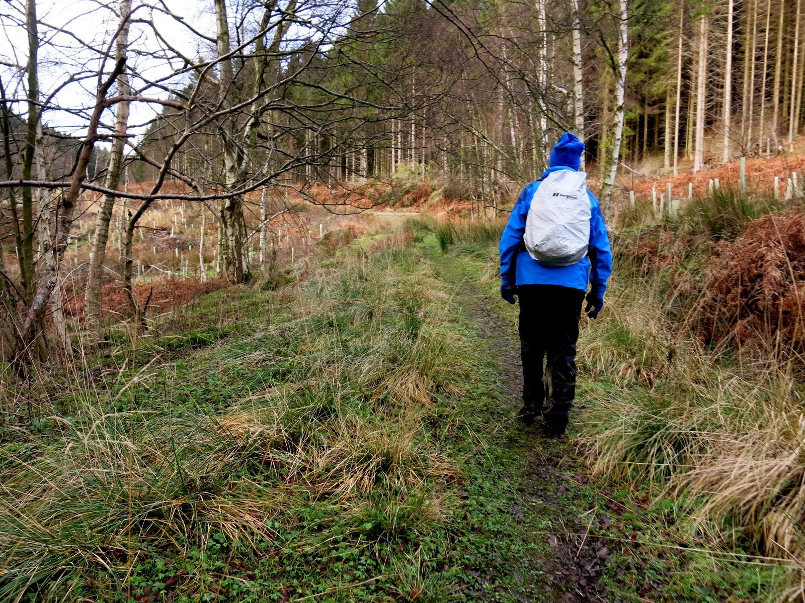
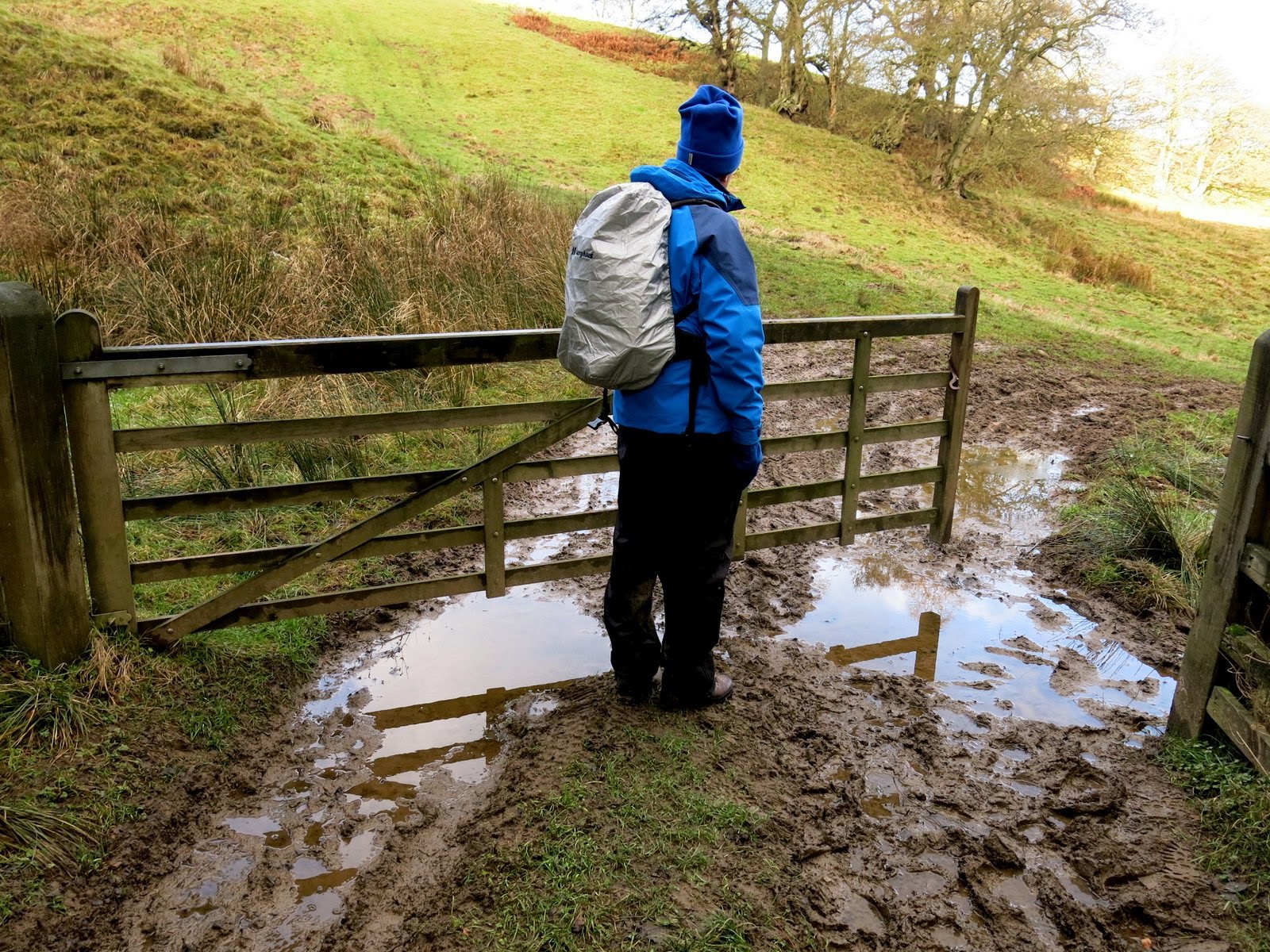
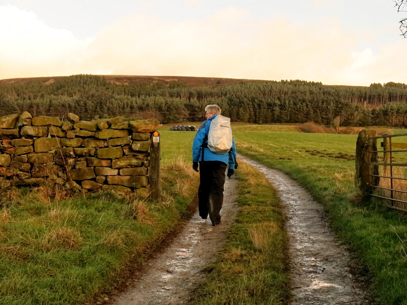
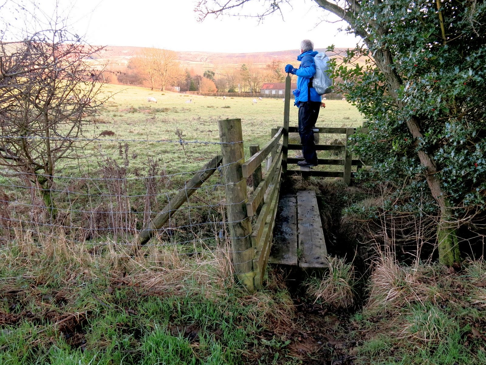
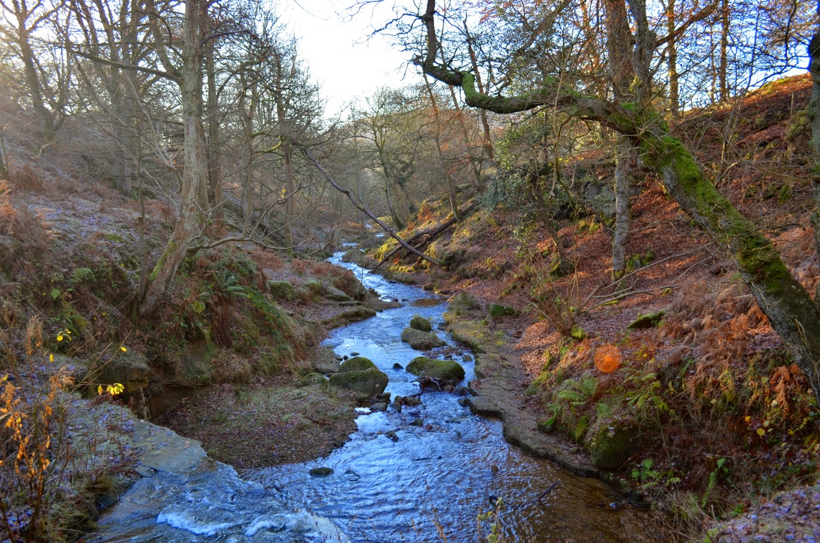
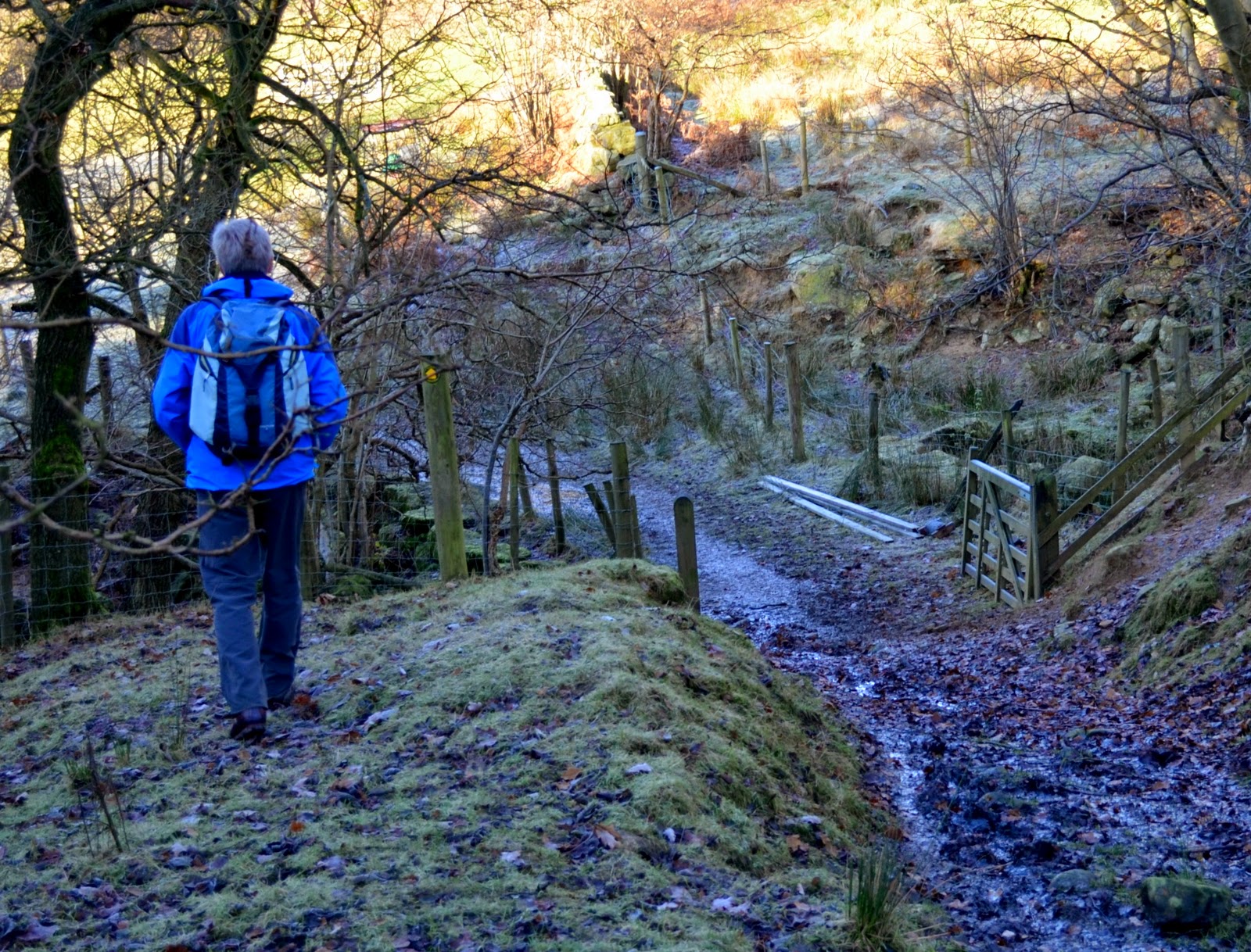
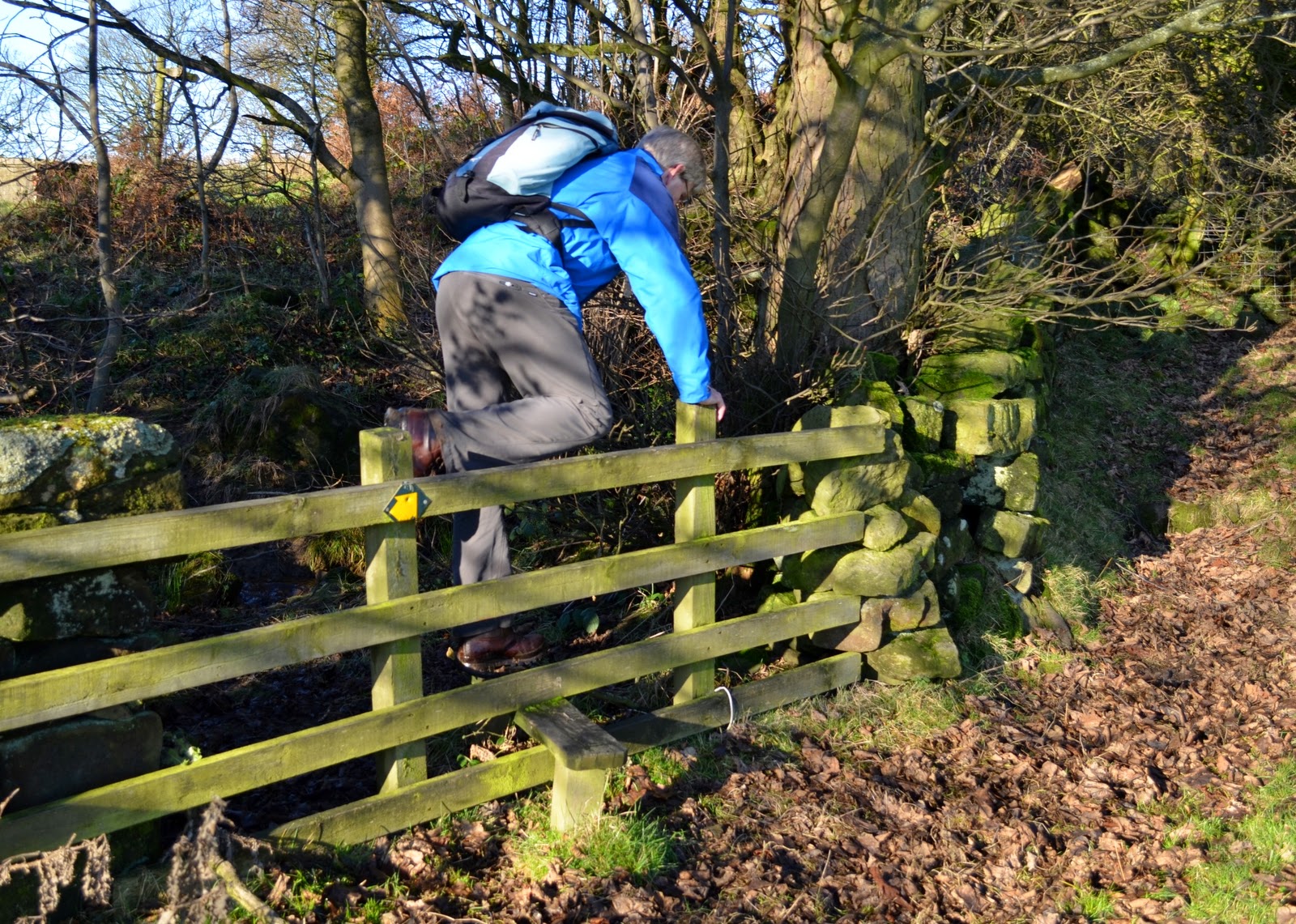
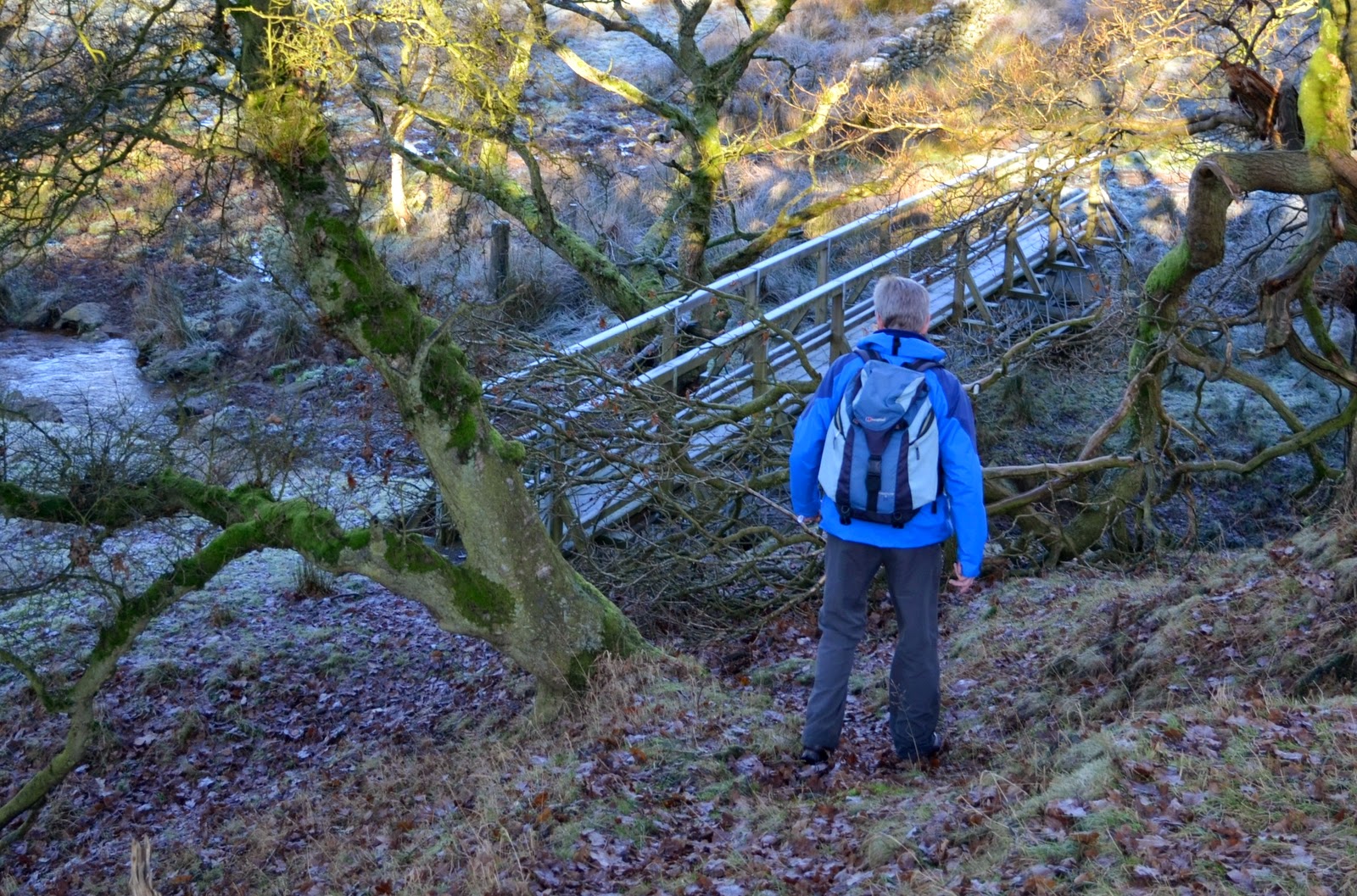
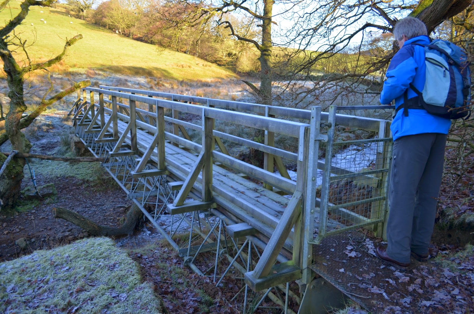
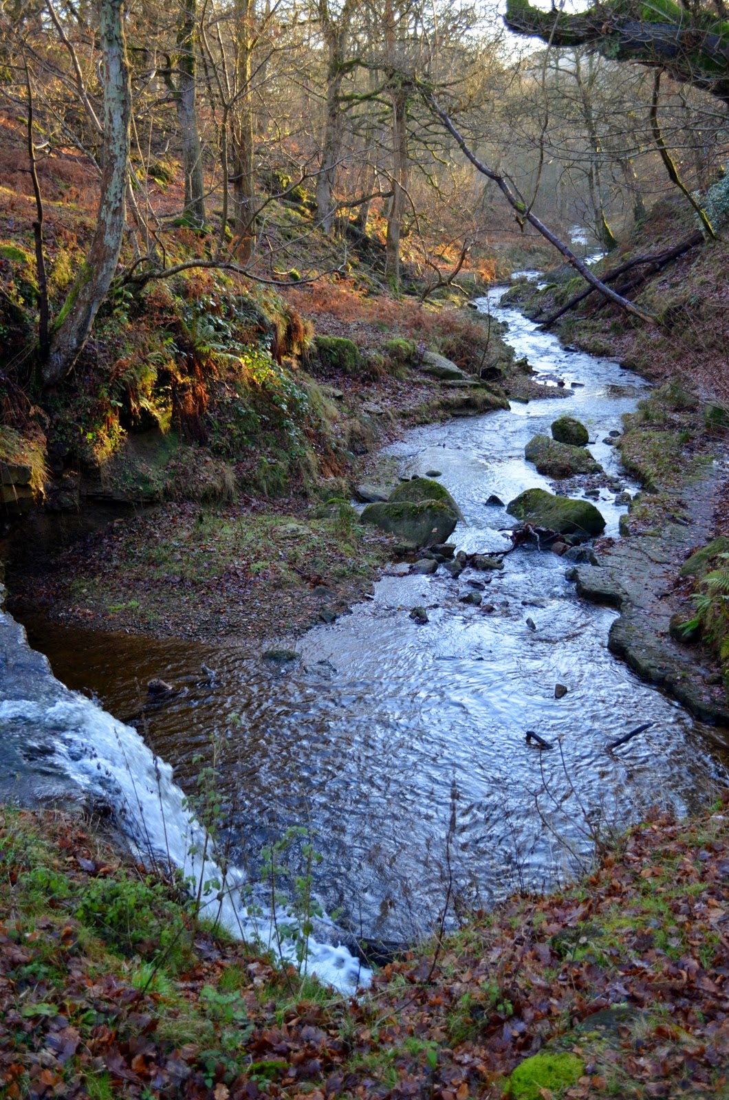
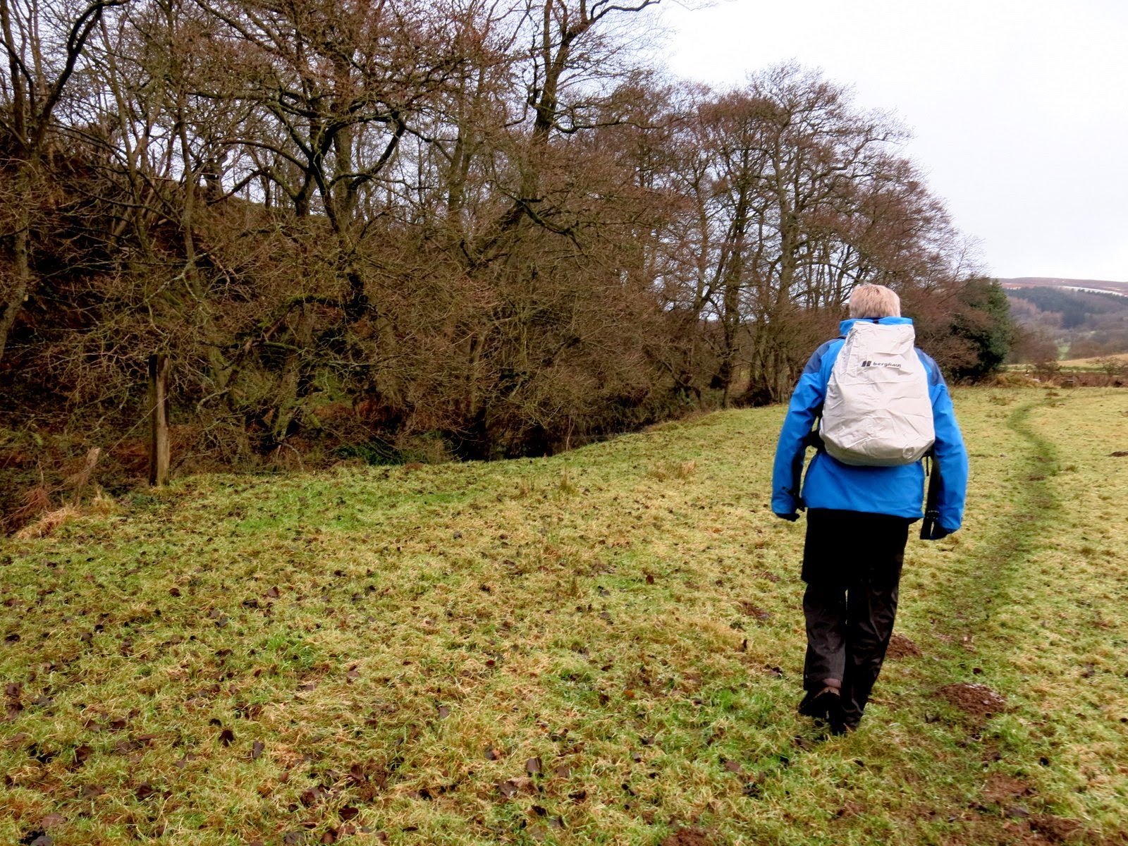
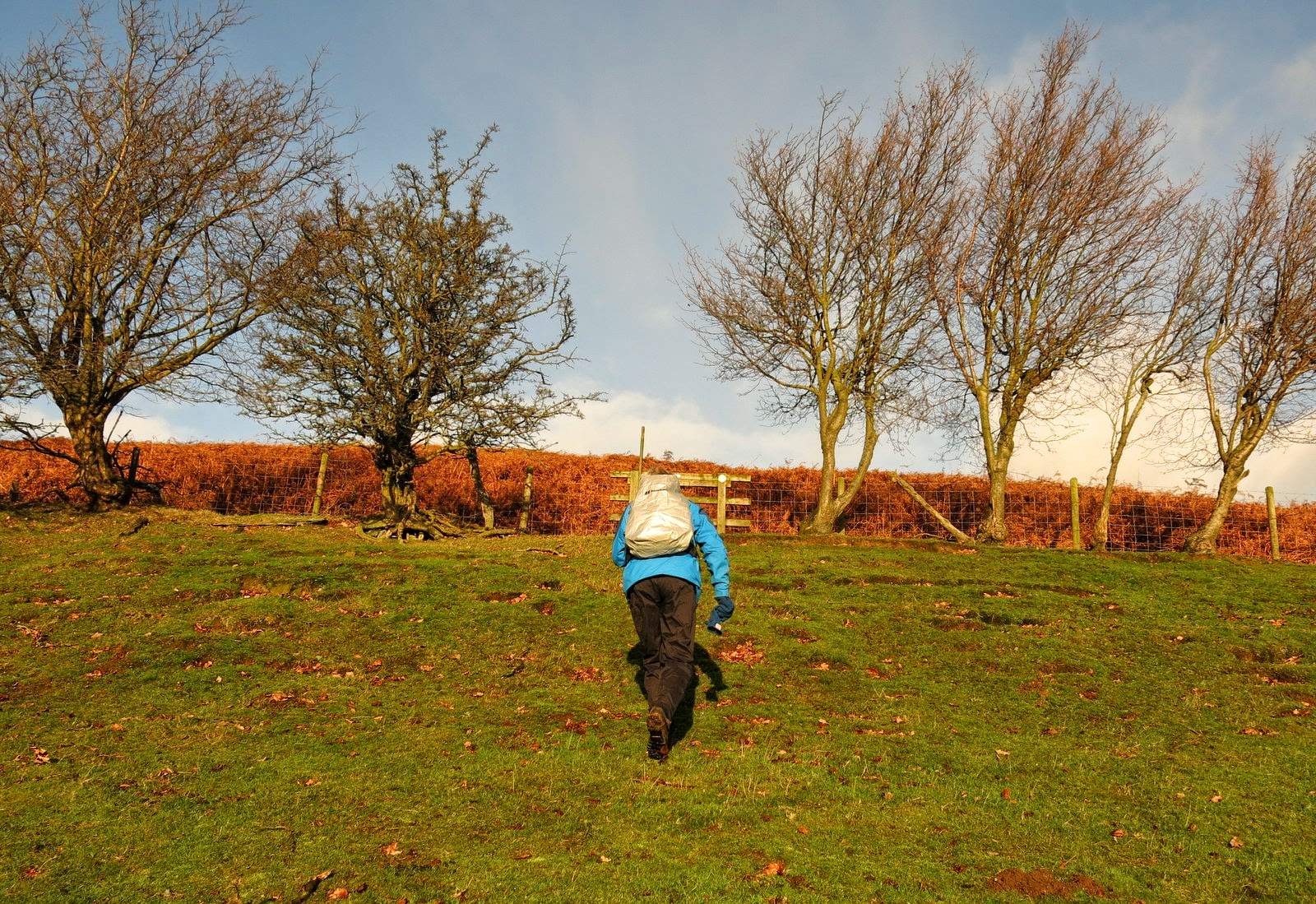
We deposited our money in the machine as instructed, but failing to receive a ticket we set off via a stile at the rear of the car park and joined a footpath which follows Raisdale Beck for a time across meadows to Cock Flat Farm. Tom Scott Burns explains that Cock Flat comes from Kyrkflat, meaning Church Field. The paths were muddy but walkable, the main problems being encountered at gates where stock had churned paths into muddy pools.
 |
| Leaving the car park to start our walk |
 |
| Alongside Raisdale Beck |
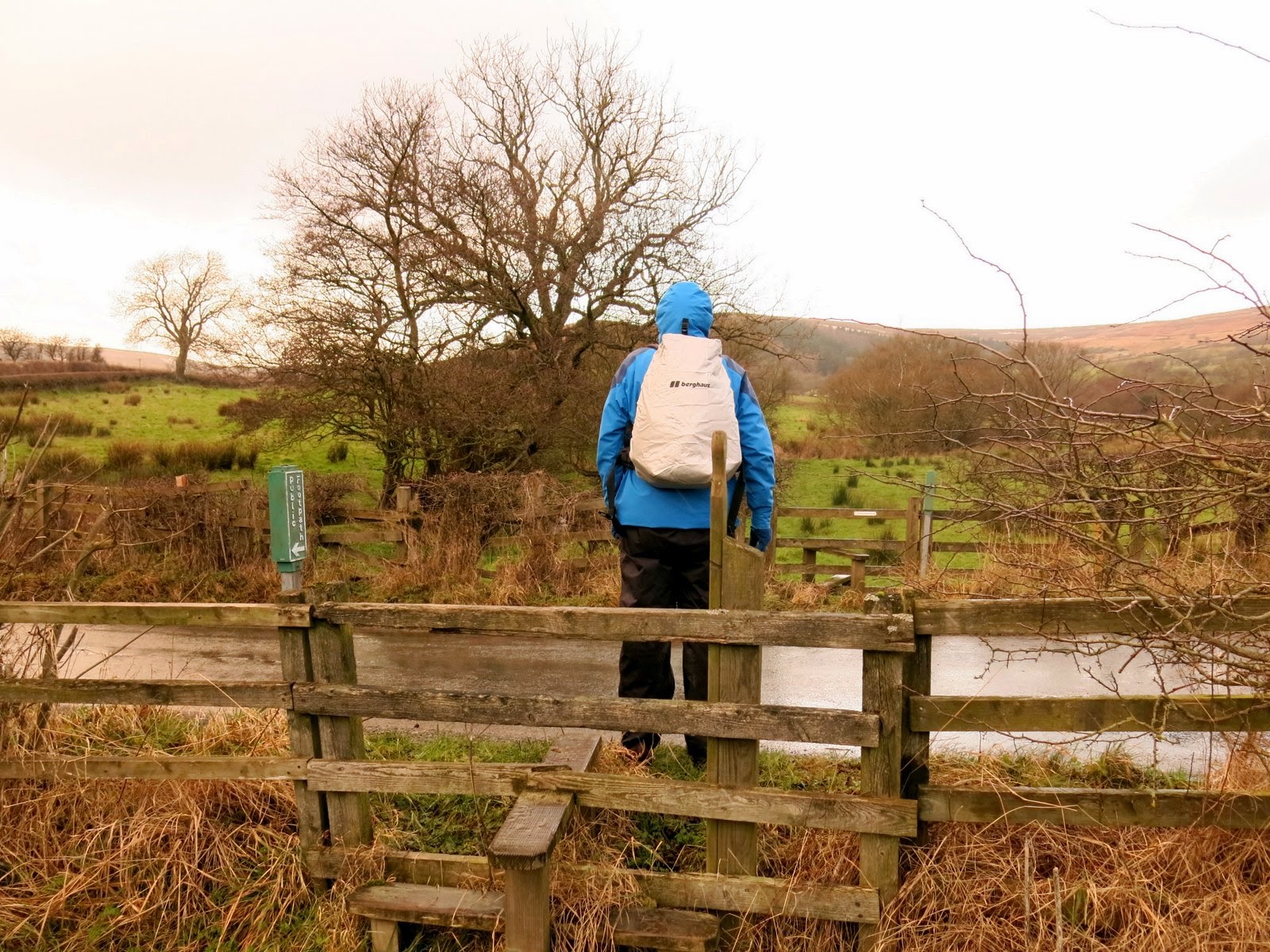 |
| Crossing Raisdale Road, our path continues opposite |
 |
| Climbing to Cock Flat Farm |
|
|
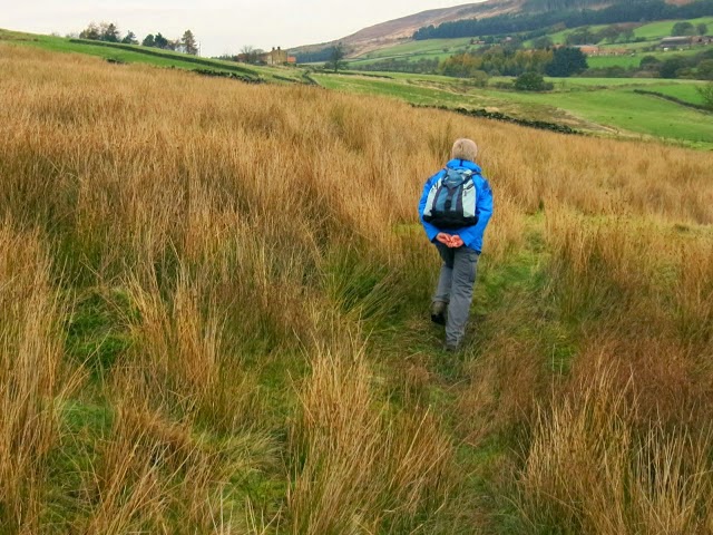
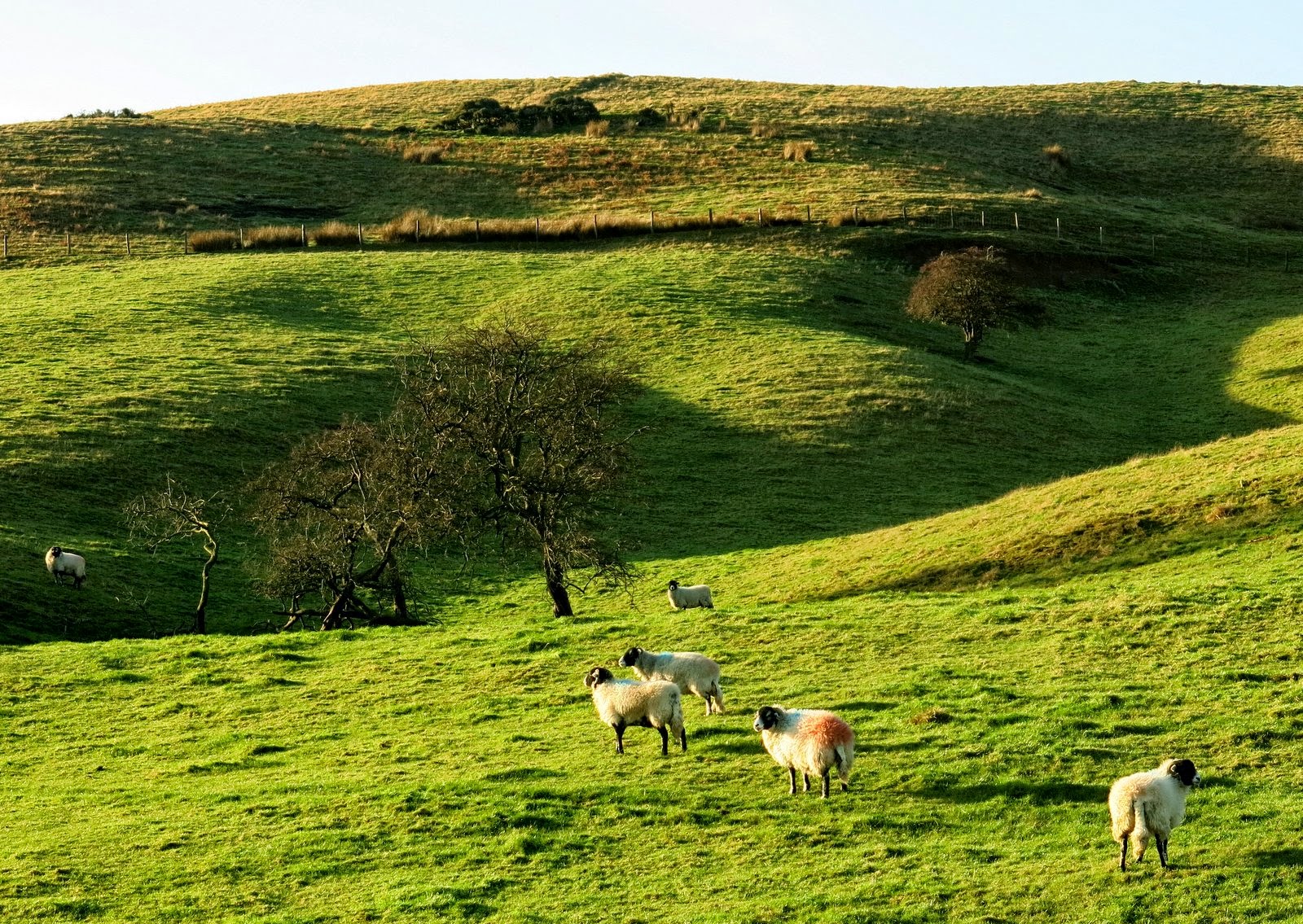
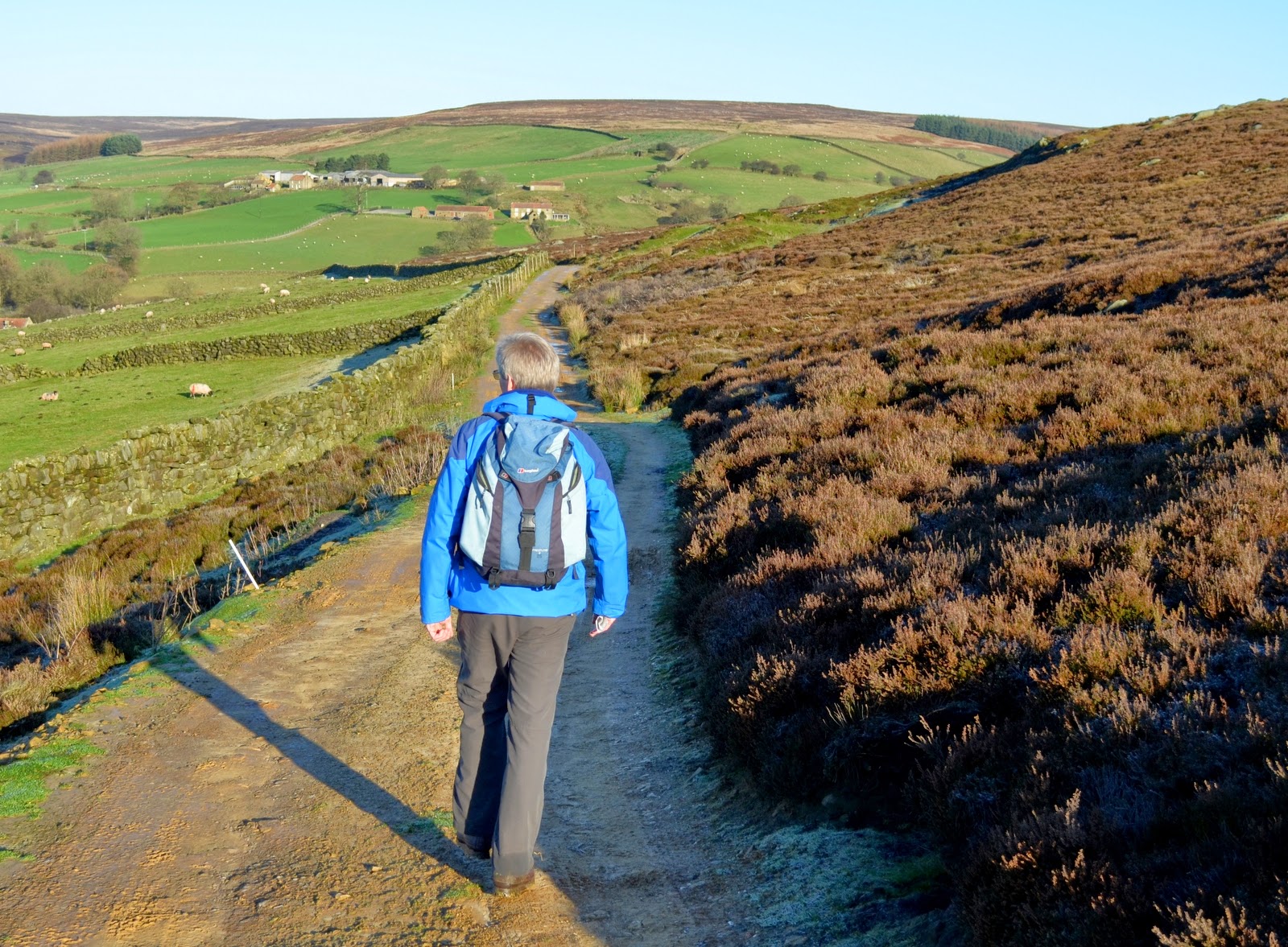
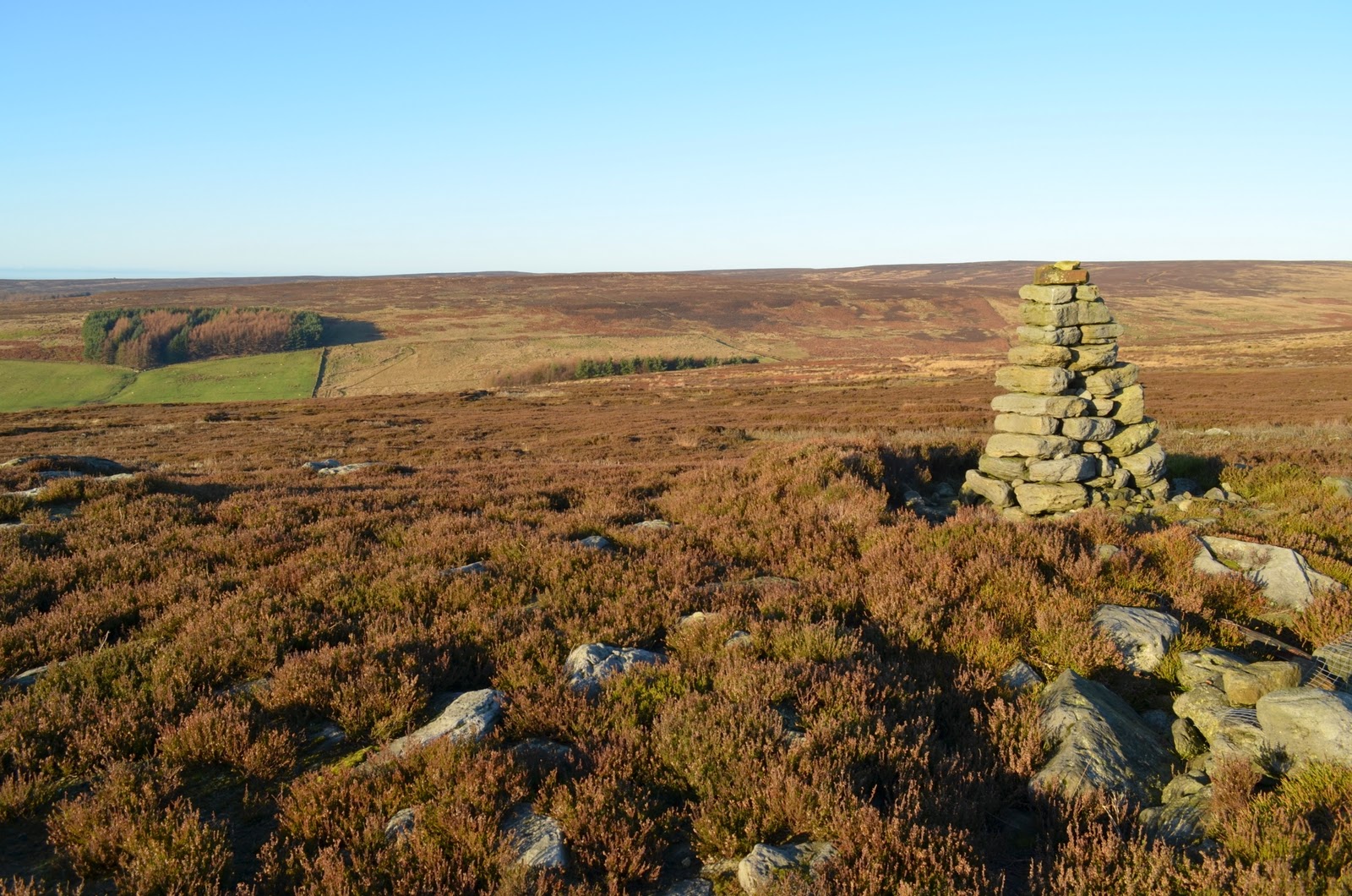
Our path dropped briefly from Cock Flat Farm to the road before climbing once more to High West Cote Farm and then dropping again to tidy Stone Intake Farm where we were 'seen off' by the farm collie who was much friendlier than he pretended to be.
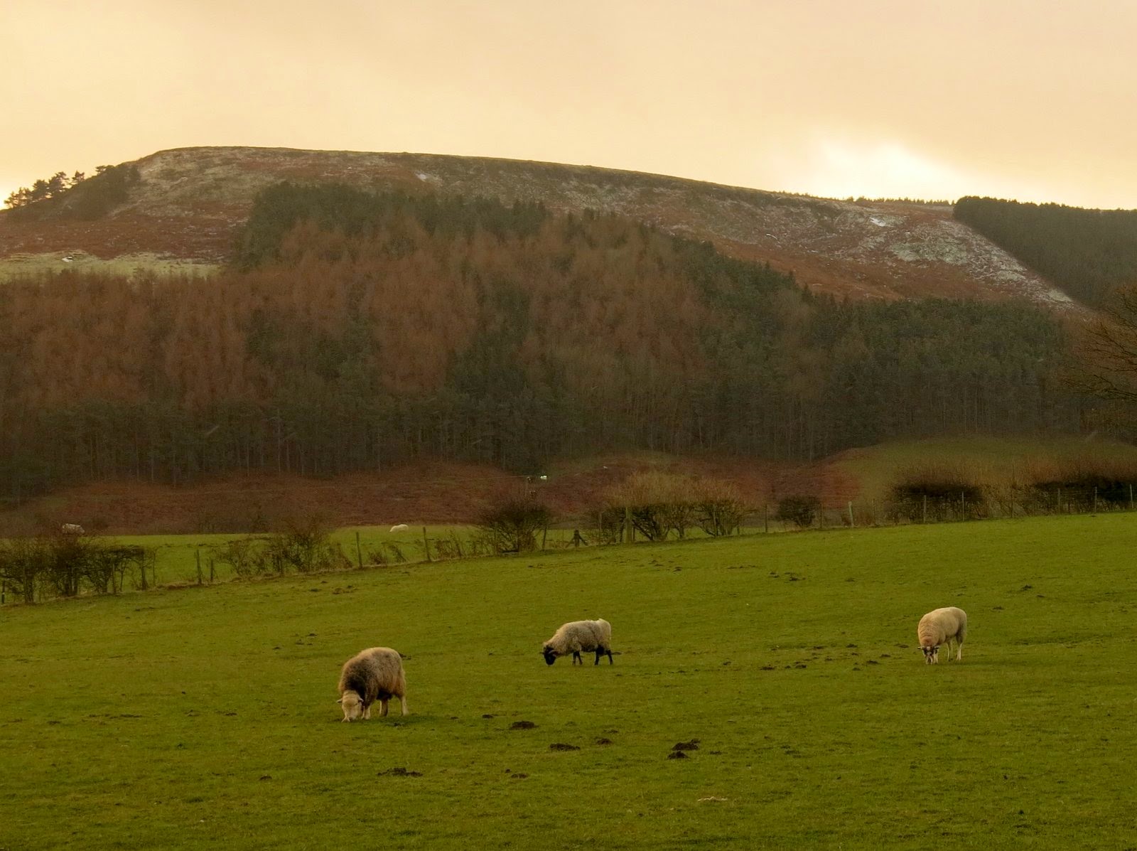 |
| Wintry skies |
 |
| King of the Castle |
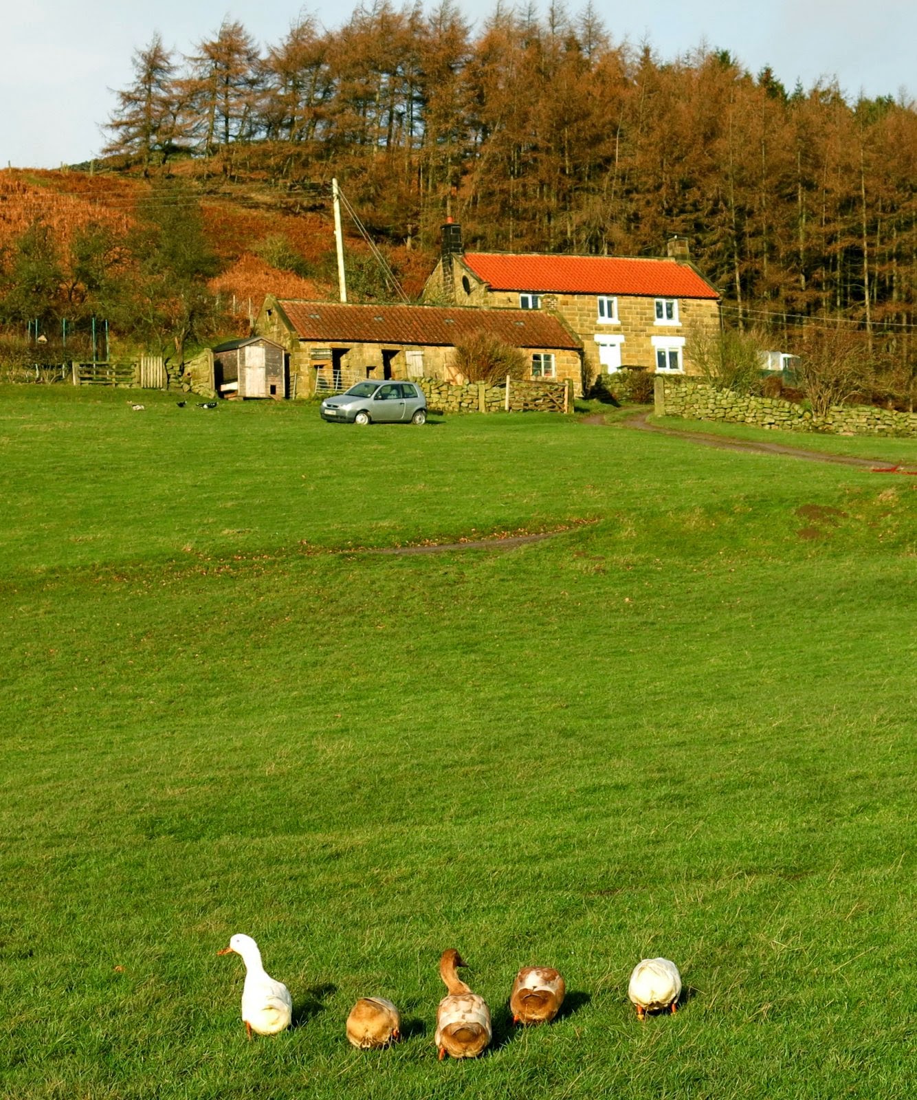 |
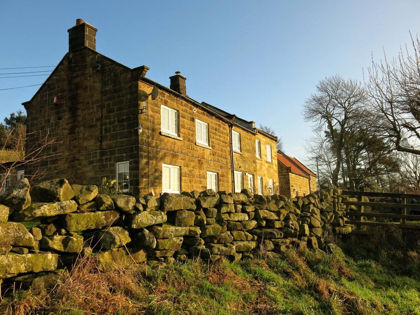
| Cock Flat Farm |
 |
| Climbing towards High West Cote Farm |
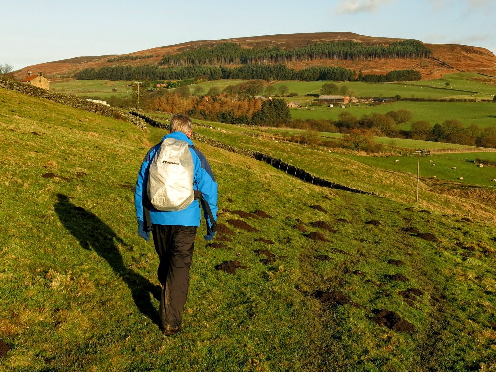
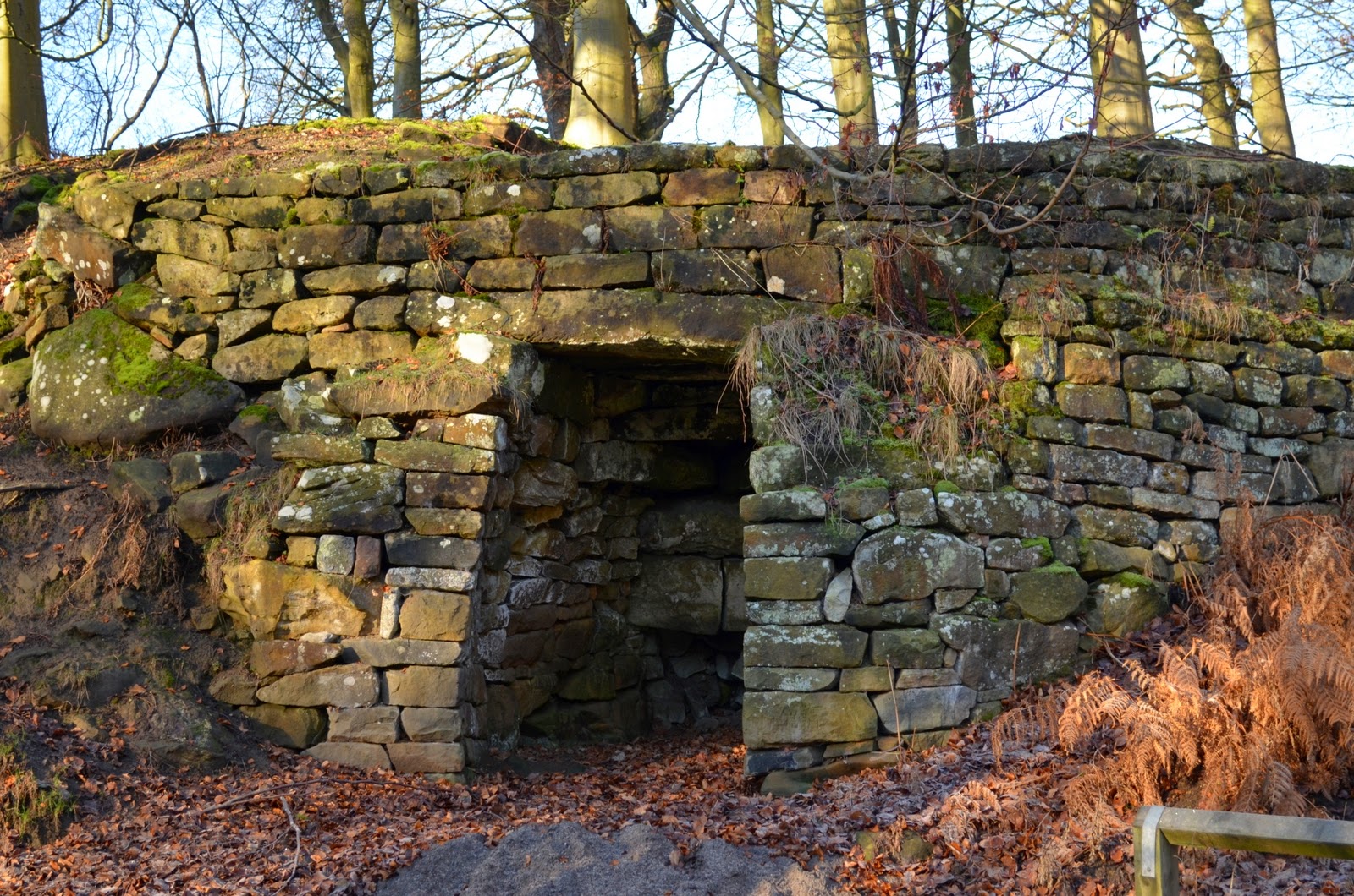
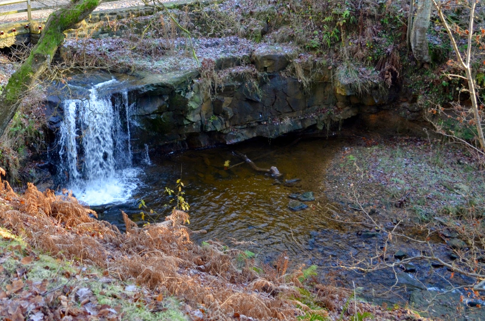
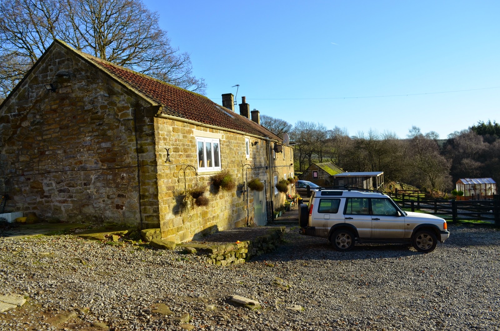
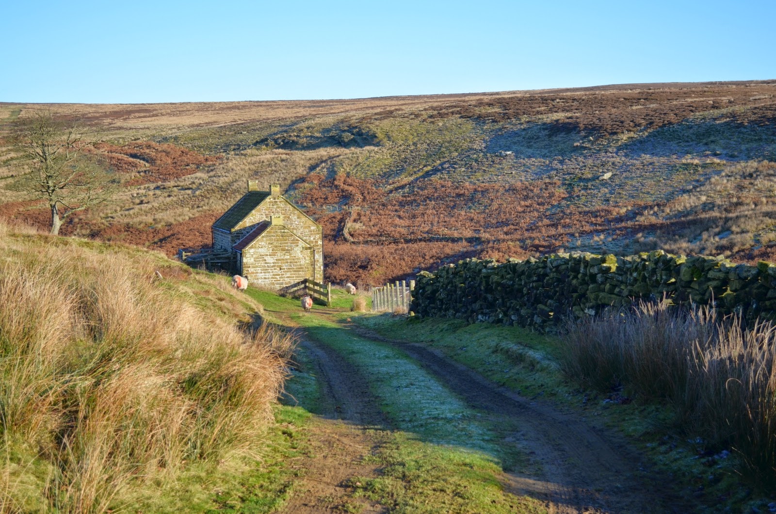
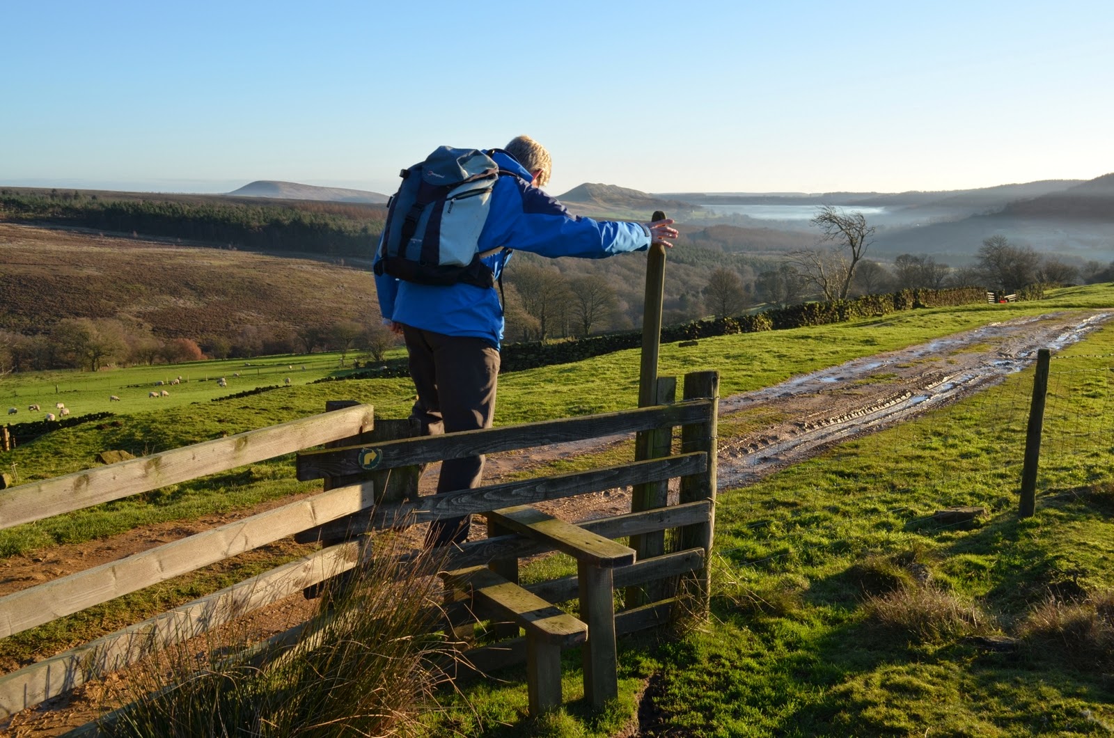
We rejoined the road for a short time before leaving at the farm track to High Crosslets Farm, which calls first at Raisdale Mill. A convenient table and chairs proved too great a temptation and we settled down for our coffee and scones.
 |
| West Cote Farm from High West Cote Farm |
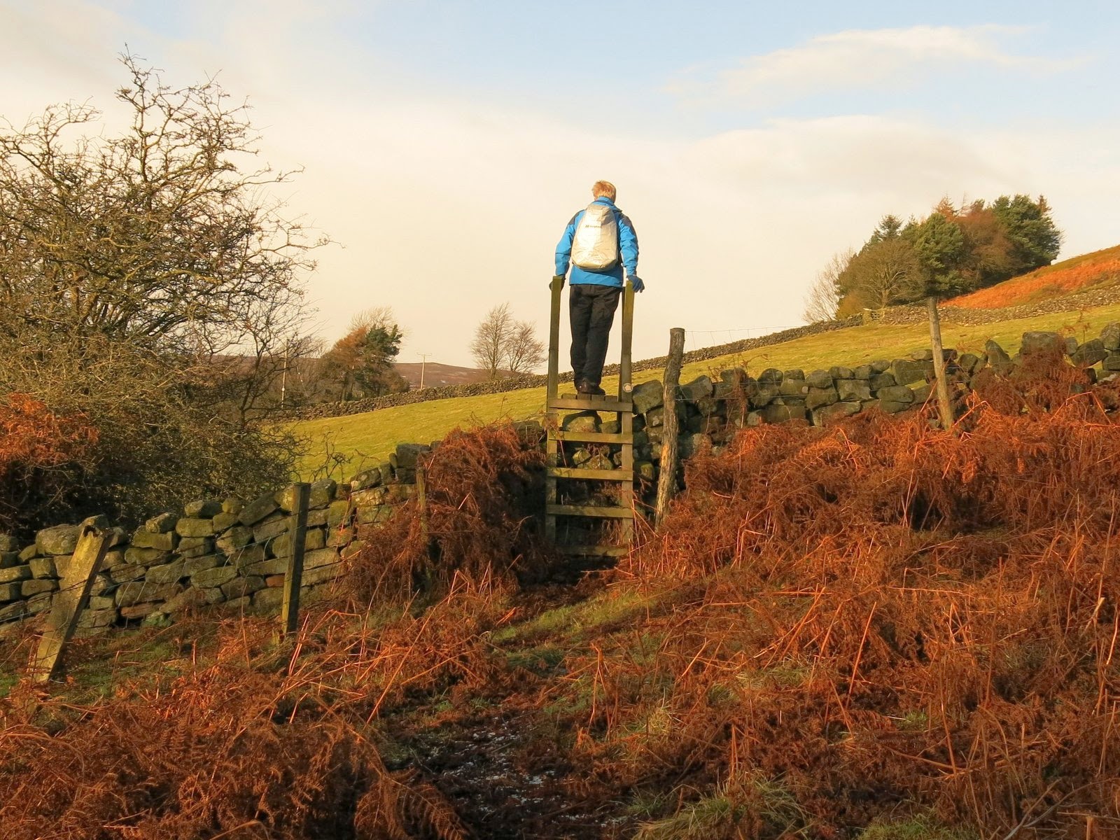 |
| King of the Castle 2 |
 |
| High West Cote Farm |
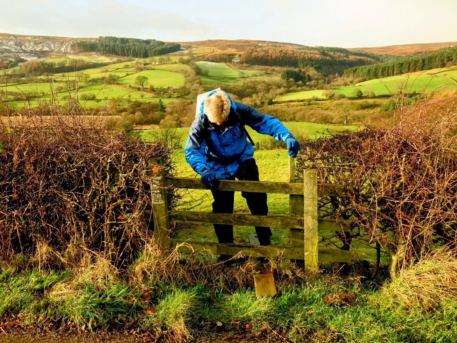 |
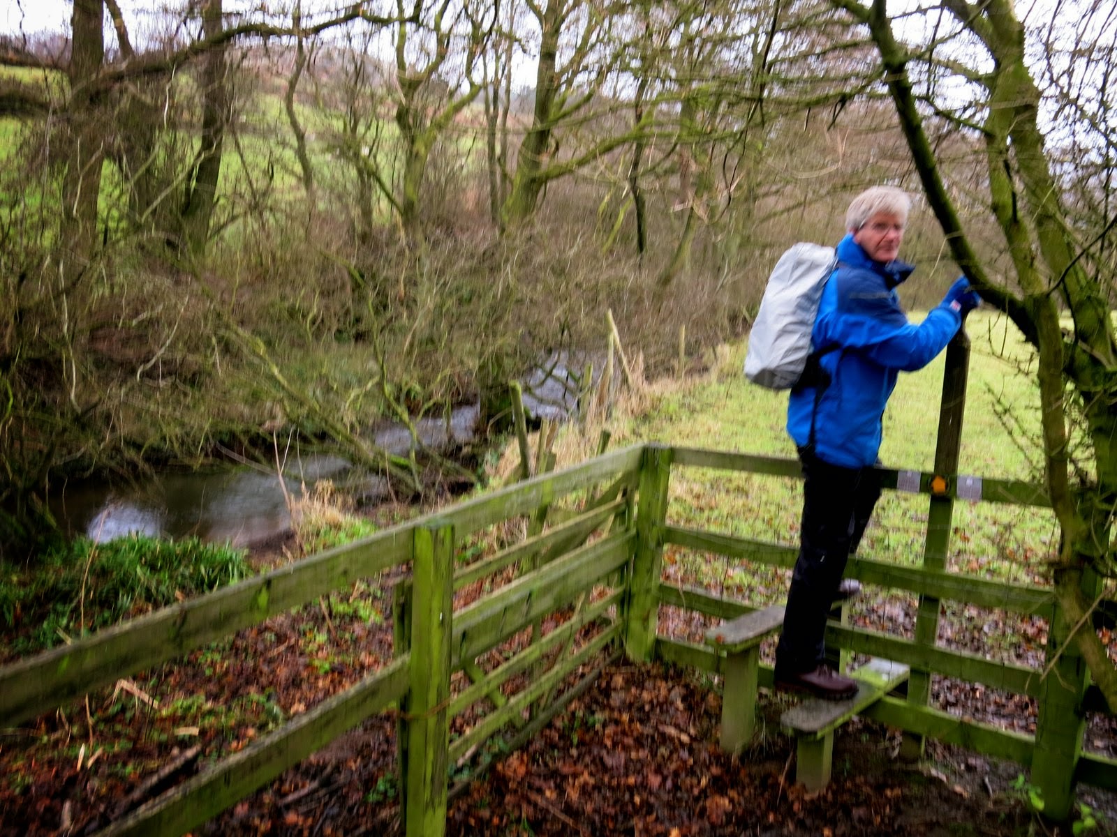
| Stile near Stone Intake Farm |
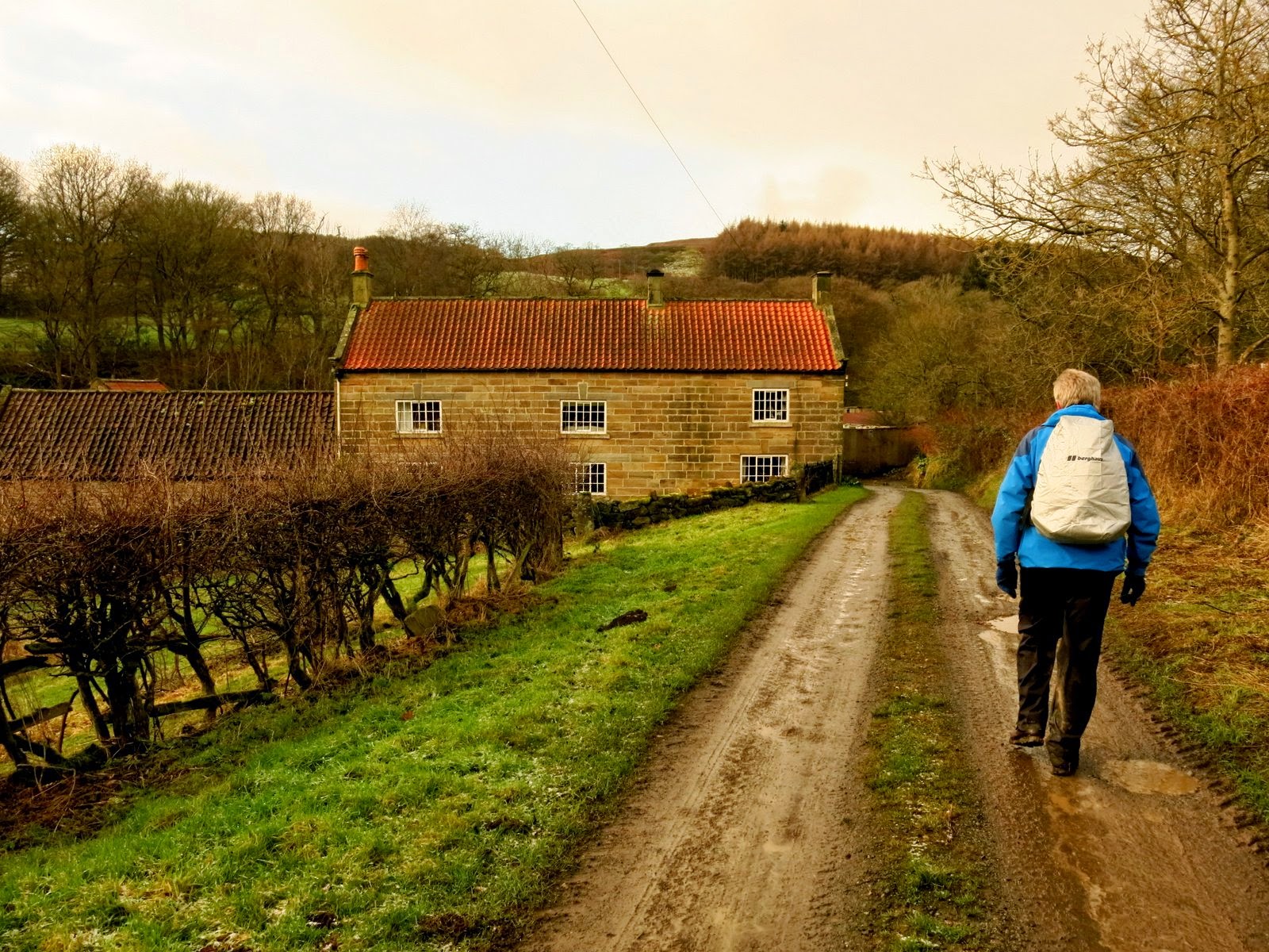 |
| Towards Raisdale Mill |
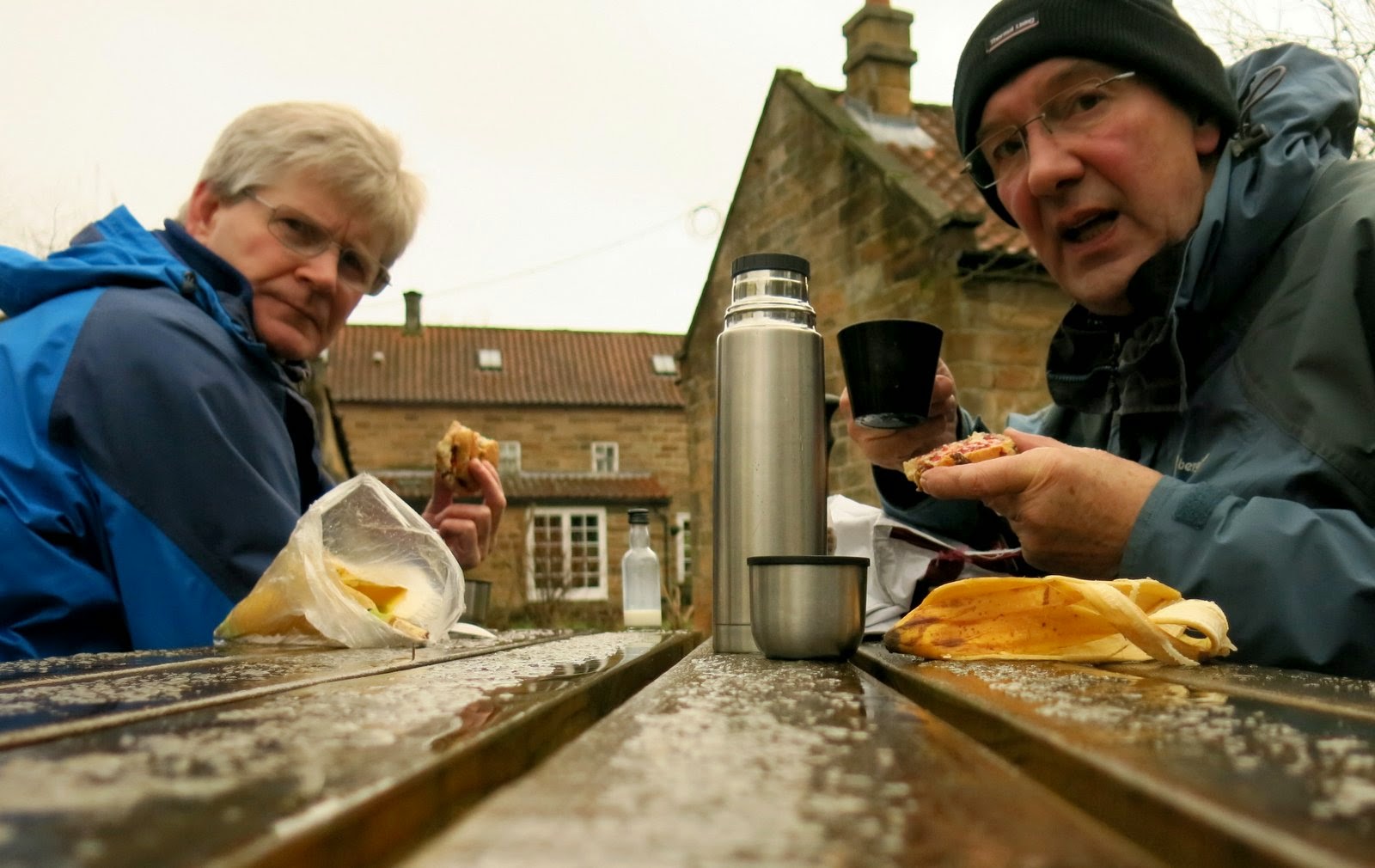 |
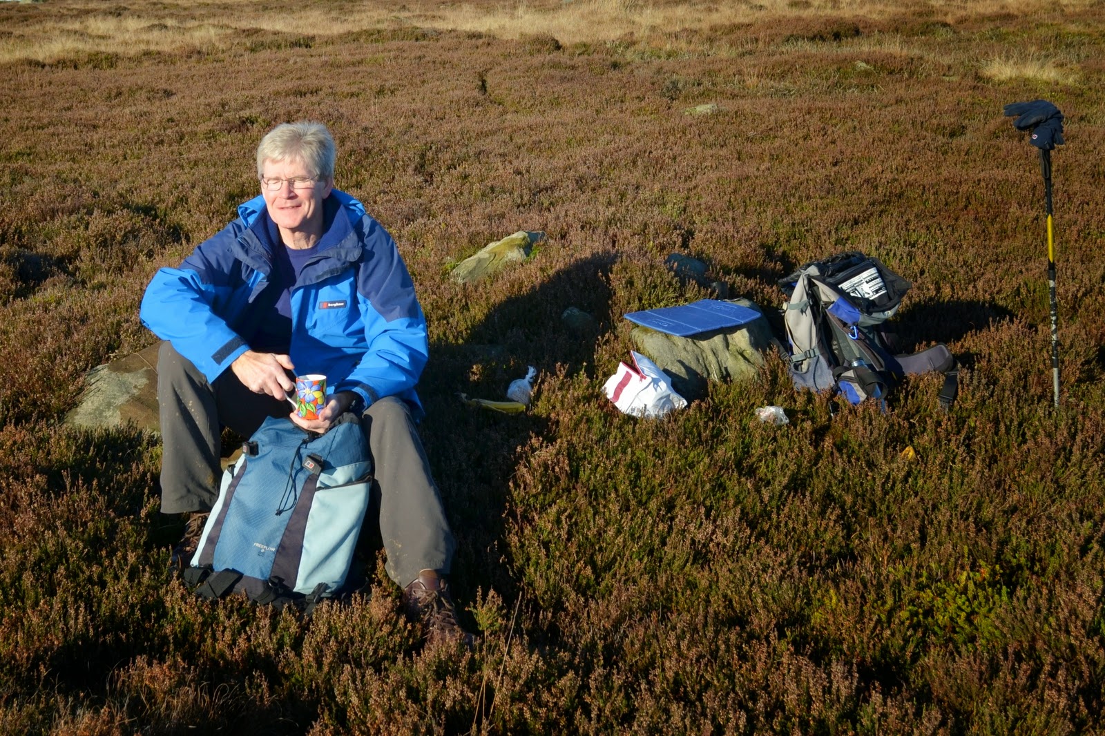
| No, we do not have any spare scones! |
|
|
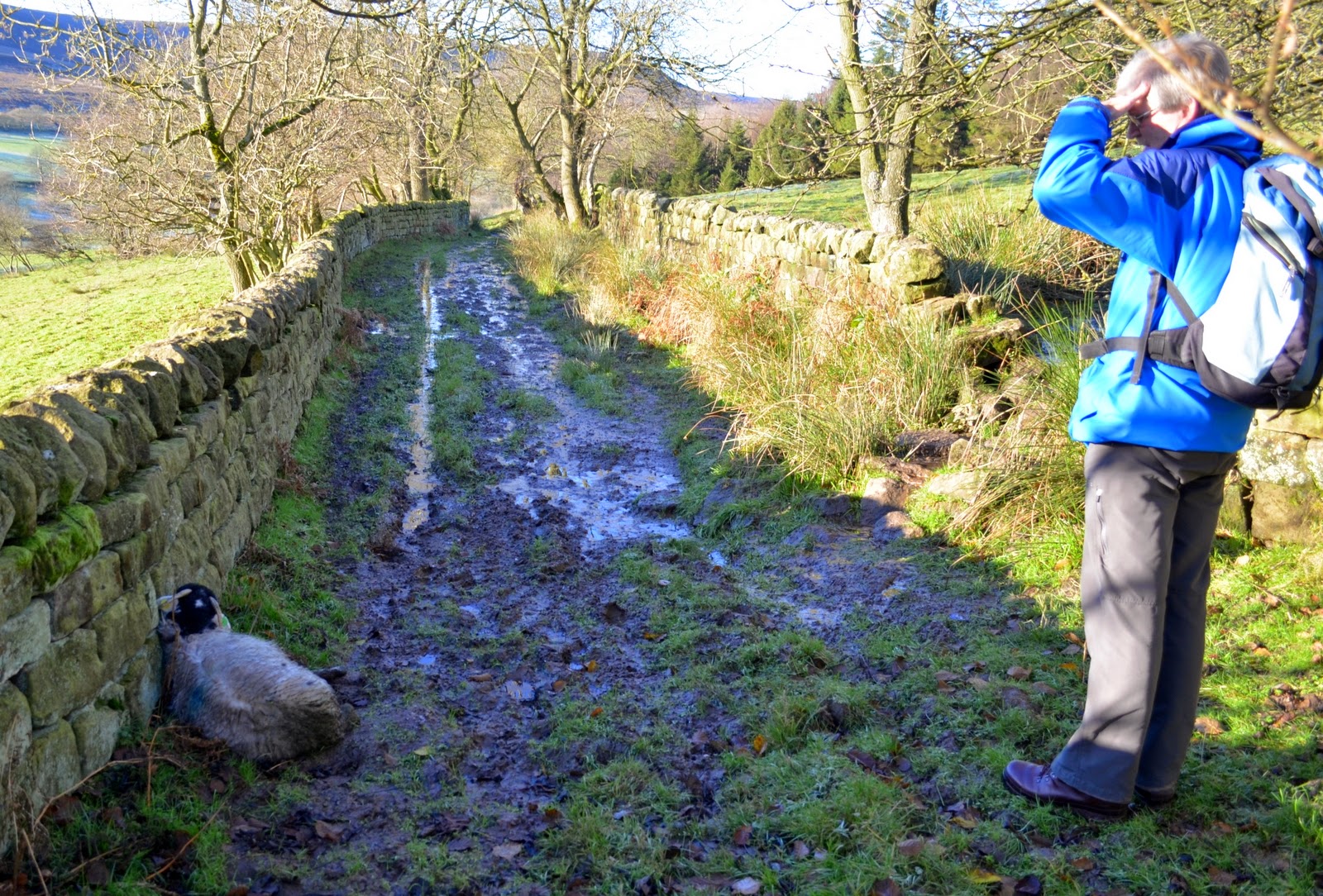
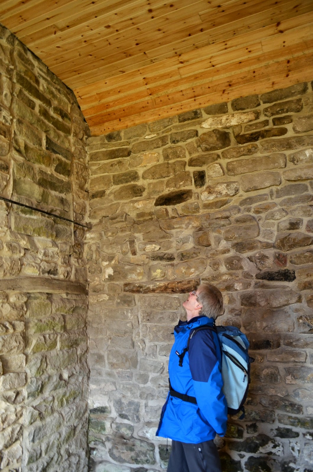
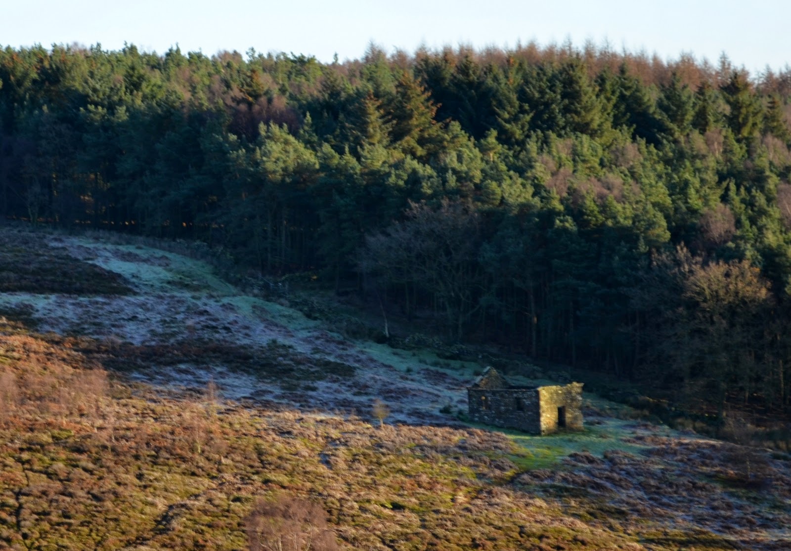
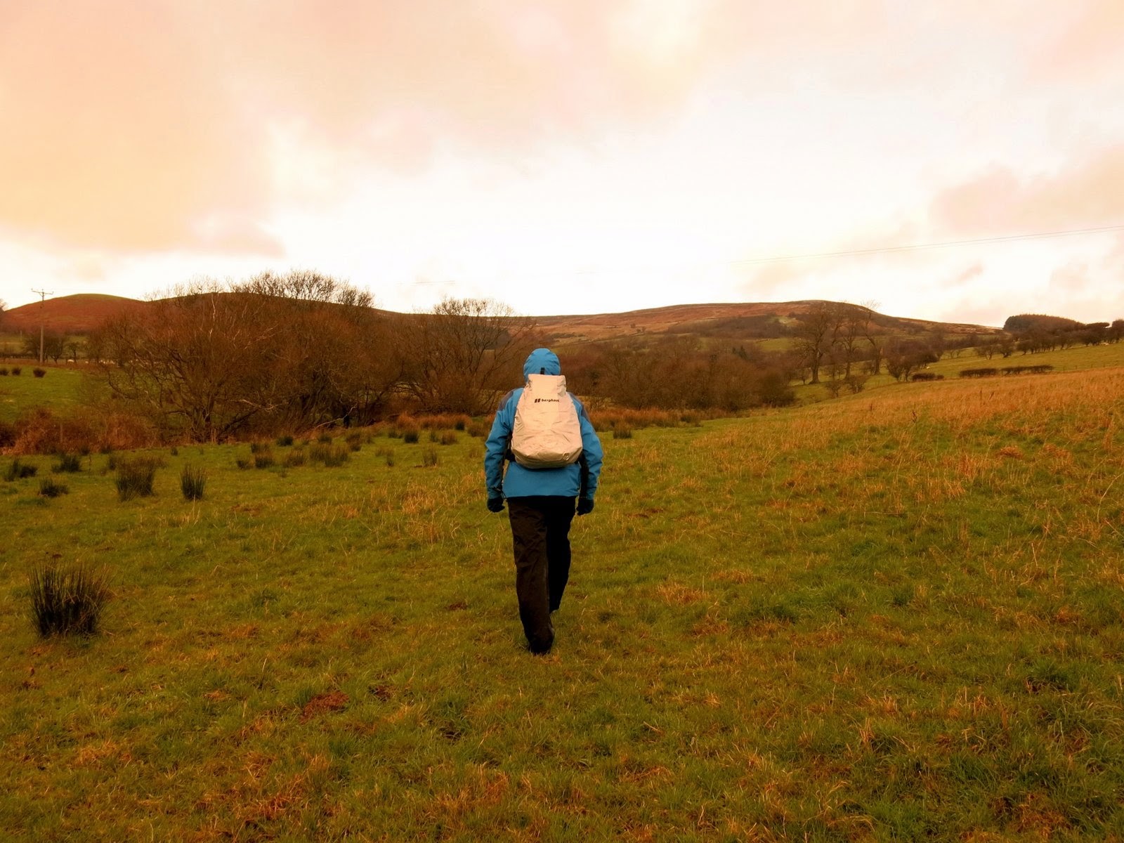
Finishing our coffee we joined the route of our intended walk for a while. Once again our path took us through fields alongside Raisdale Beck until we briefly entered a forestry plantation before emerging into meadows. The last time we walked through these meadows they had been yellow with buttercups but today we struggled through boggy turf, climbing towards the ruined sheep farm of Clough.