A Tour of Raisdale from Chop Gate
7 miles Sunny but cold and windy
We parked in the public car park at Chop Gate Village Hall and started on our way immediately by climbing over a stile at the rear of the car park, then following Raisdale Beck across meadowland to Cock Flat Farm. Toms
Scott Burns tells us that Raisdale came from Reith's Valley (an old
Nordic personal name) and Cock Flat from Kyrkflat meaning Church Field.
 |
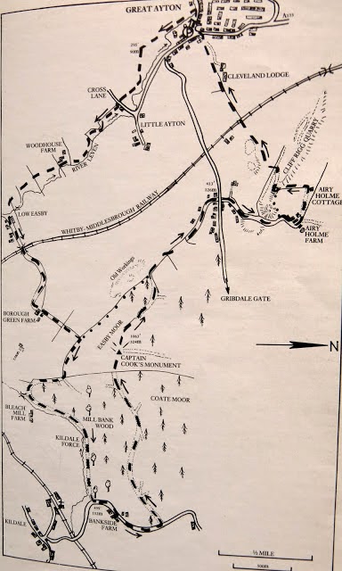
| Today's walk from The Walker's Guide to the Cleveland Hills |
 |
| Chop Gate Community Centre |
We walked alongside the beck for the second time in recent weeks.
(see here) The beck was in spate and today's walk would be wet underfoot with paths and fields sodden from snow melt and last night's rain, however, more of a nuisance was a very strong SW wind.
 |
| Raisedale Beck in spate |
 |
| Walking alongside Raisdale Beck |
 |
| Paths made tricky by snowmelt and rain |
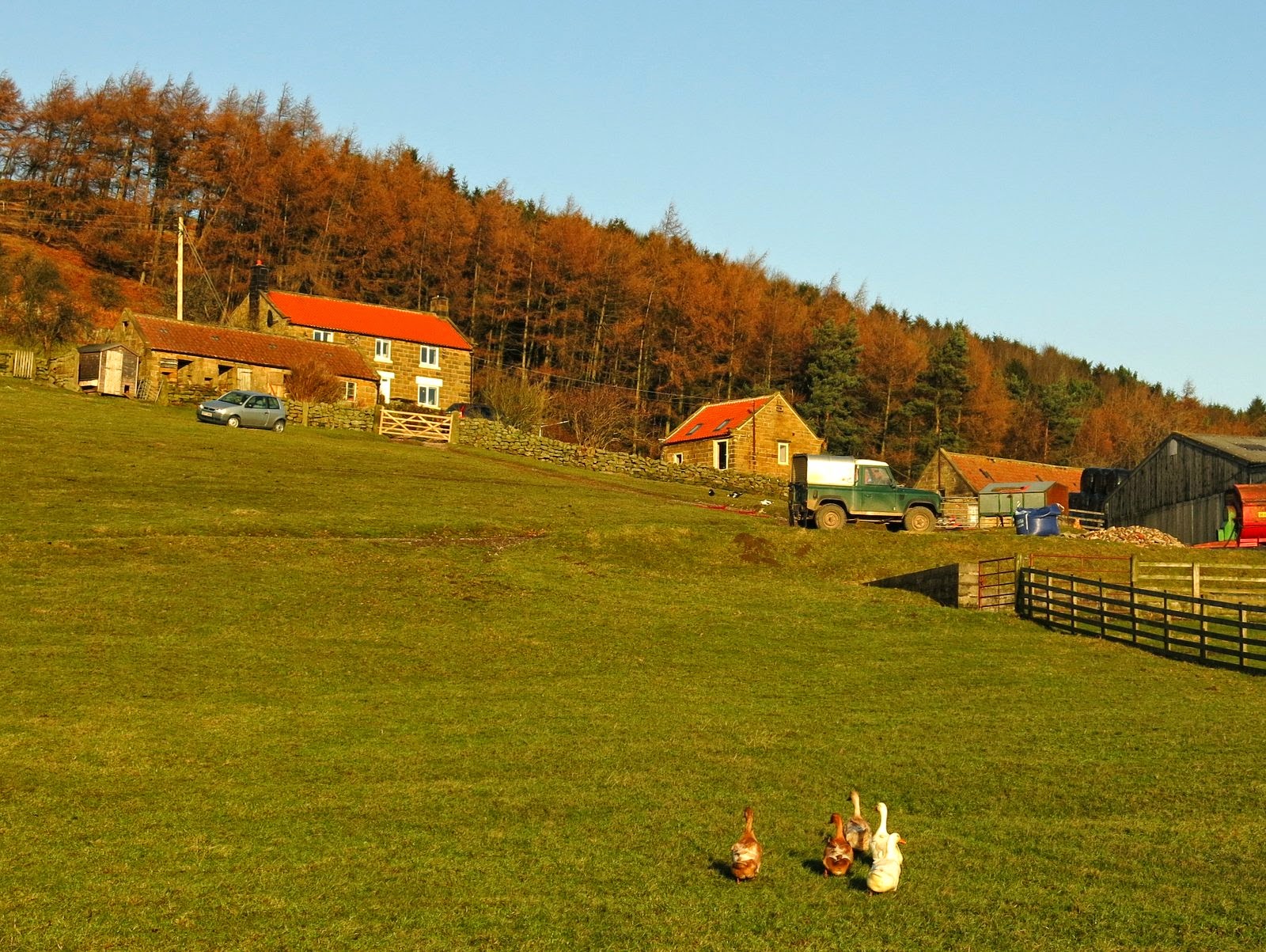 |
| Cock Flat Farm |
|
We walked past Cock Flat Farm and climbed to High West Cote Farm where the path followed a fence. Here we found a dead fieldfare below a tree which couldn't have been dead for more than a few minutes. We wondered what might have caused its death as there was no sign of injury.
 |
| Climbing towards High West Cote Farm |
 |
| Walking below High West Cote Farm |
 |
| Dead Fieldfare |
 |
| High West Cote Farm |
|
|
We dropped down from High West Cote Farm to join the road next to Stone Intake Farm. Just past the farm a stile leads into a field that drops down to rejoin the road before the entrance to High Crossletts Farm and Raisdale Mill. We turned off the road and walked down to the mill.
 |
| View to High Crossletts Farm from Stone Intake Farm |
 |
| Stone Intake Farm |
 |
| Leaving the road at the entrance to High Crossletts Farm |
 |
| Raisdale Mill. The sandstone block above the window is inscribed 'John Garbutt 1849' |
Raisdale Mill was built in 1849 by John Garbutt and operated as a mill until the 1920s and pieces of mill machinery can still be seen around the mill, which is now a private house. Just past the mill we turned right into a lane which Tom Scott Burns describes as "the most beautiful green lane, which threads its way upwards to Barkers Ridge." Sadly this lane is a bridleway and motor cycle trials bikes have used it in recent years and it can no longer be described as a beautiful green lane. Clive and I negotiated the muddy ruts until we came to a fallen tree, which would completely block the path to bikes. As yet no attempt had been made to move the tree and we hoped its presence would prevent the lane being used by horses or motor bikes allow the lane a chance to recover.
 |
| Entering the green lane next to the old mill |
 |
| Initially the lane is walkable |
 |
| Motor cycles have badly rutted it but a fallen tree completely blocks the path |
Eventually this lane leads up to Barker's Ridge but before reaching that point we found a sheltered spot in the sun behind a wall to sit and savour our coffee and scones.
 |
| View down to High Crossletts Farm and Raisdale from our coffee stop |
We now had a 2.5 mile walk across the moor via Noon Hill to Head House. We walked into a terrific headwind and conversation was impossible. We reached Noon Hill where there was a 'surprise view' back into Scugdale. After admiring the view and pointing out places of interest we turned back into the wind where an amused Clive took a photo of me struggling forward.
 |
| Barker's Ridge in the distance |
 |
| Moor path |
 |
| Surprise view of Scugdale from Noon Hill |
 |
| New shooting butts near the path |
 |
| Into the wind! |
|
|
After a long, cold and windy walk along the featureless moor path we finally saw the roof of Head House in the distance. At last we could turn out of the wind and we now had it behind us for the rest of today's walk. We past above Head House, which we had visited only a month or so ago on another walk (see here) and made our way across the moor and down to Arnsgill Beck. We were now walking on a narrow track through heather. Crossing the beck we joined the path up to Cock Howe next to an old weathered rowan tree, which was described in those words by TSB 25 years ago and still looks the same today.
 |
| Head House below |
 |
| Passing by Head House |
 |
| Walking towards Arngill Beck |
 |
| The weathered rowan tree |
We reached the standing stone at Cock Howe and immediately began the 1.5 mile descent of Trennet Bank to Chop Gate. Numerous hollow-ways make their way down the bank and TSB describes how these were created over many centuries by villagers sledging turf for fuel down from the moor tops. We picked our way between them and eventually returned to the car park at Chop Gate.
 |
| Stone at Cock Howe |
 |
| Starting down Trennet Bank, Chop Gate below |
 |
| The path gets steeper |
 |
| Picking our path between hollow-ways |
 |
| Hollow-way down to our car park |