"There must be dales in Paradise
Which you and I will find.."

Sunday 9 October 2016


Hawnby Hill and Hazel Head from Hawnby


7 miles                    Fair and warm


This is a favourite walk of ours as it combines the best of moorland, woods, pasture and villages.  It's quite good underfoot, not too difficult but not too easy.

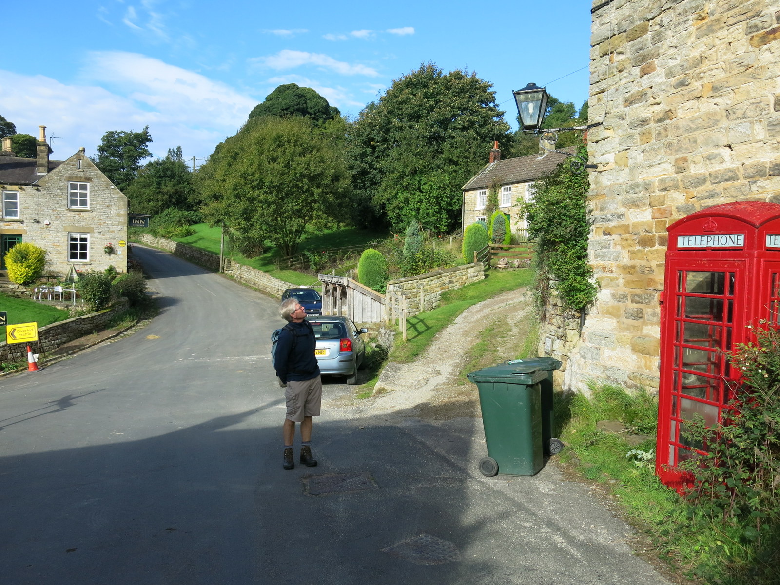
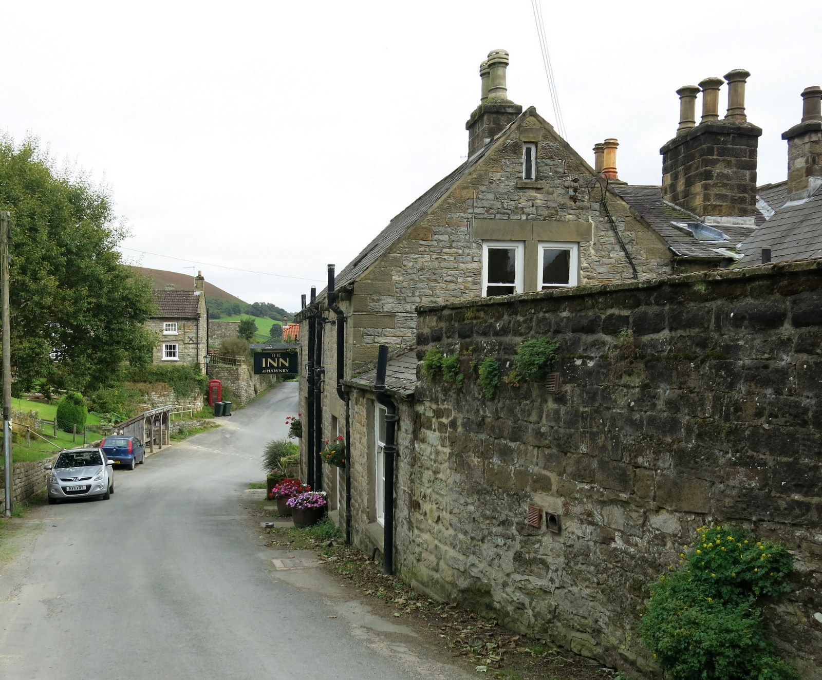
We arrived at Hawnby from the B1257 Stokesley to Helmsley road via the Laskill turn off and parked at the roadside near the Inn at Hawnby.


Today's walk from The Walker's Guide to the Hambleton Hills

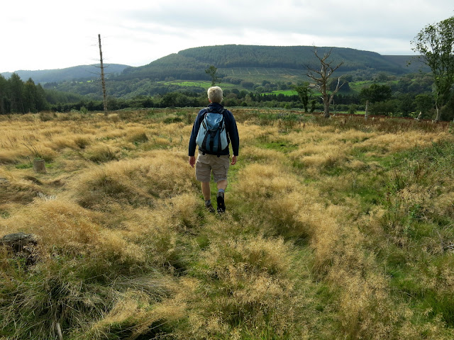
Walking through Hawnby

The village sits under Hawnby Hill (298m) whose twin, Easterside Hill, can be seen over towards the B1257.   These two hills, known as Corallian Outliers, once formed part of the Tabular Hills and have a very distinctive shape.  We left the road opposite the Inn and immediately started to climb across a field, fighting through high bracken that's now beginning to die back, until 
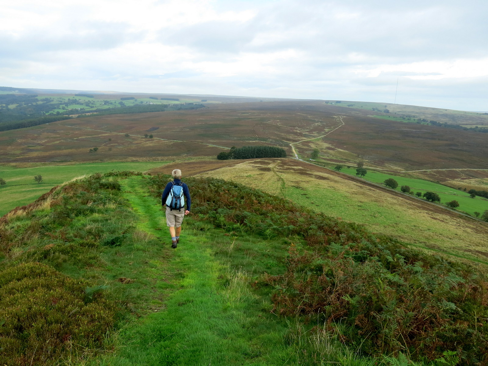
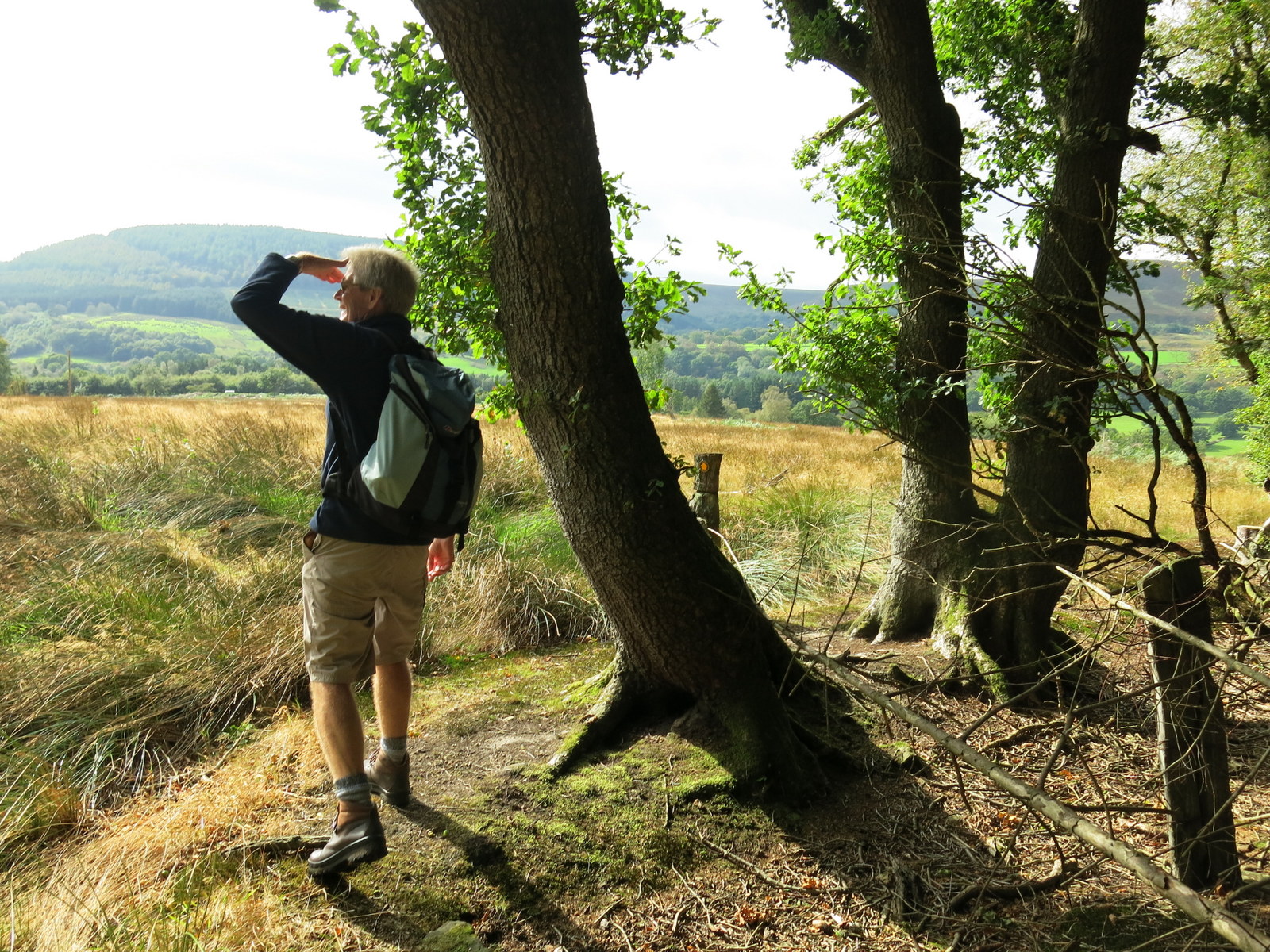
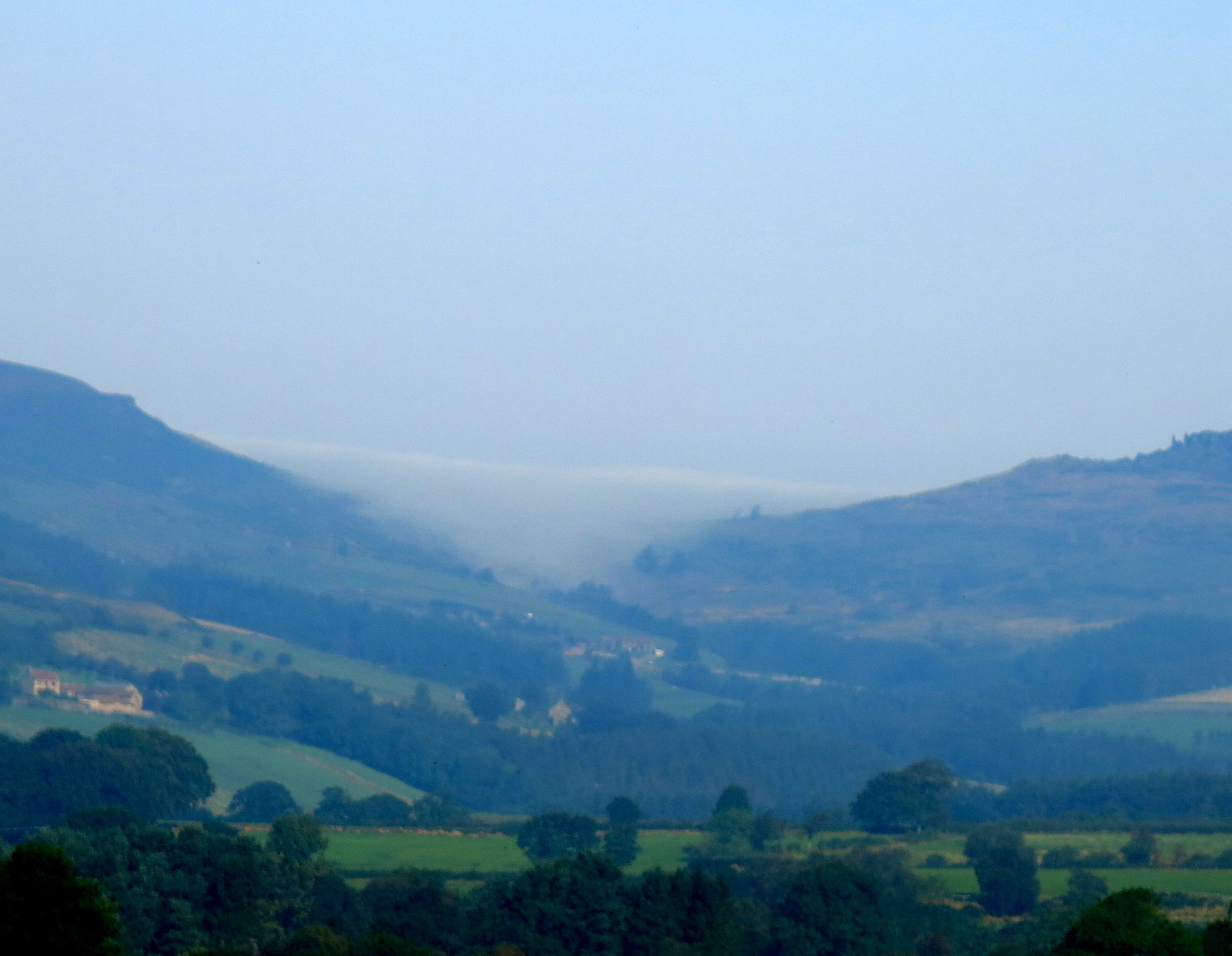
we reached the top of Hawnby Hill. From here there is a good view in all directions, to the left down to Arden Hall and to the right, Easterside Hill. 

 
Looking back towards Hawnby

Bracken is past its best, thank goodness

To the right is Easterside Hill

To the left, Arden Hall
We walked along the ridge of  Hawnby Hill until we reached a large cairn, so regular that Clive and I suspect it to be the work of one person. Tom Scott Burns' photo of the cairn in the 1990's shows a small affair compared with today's. It is however, placed at the highest point of the ridge, 978 feet.


Cairn on Hawnby Hill


A group of walkers were standing at the cairn and we stopped to pass the time of day, learning to our surprise that they were from Osmotherley, but had yet to do any walks from that village.  We left them and continued along the ridge, at one point almost throwing ourselves flat as a pair of fighter planes buzzed us with a terrific roar.


"Whazzat??"

There's another one...

The end of the ridge, our path stretches out at 2 o'clock

Down to the moor gate


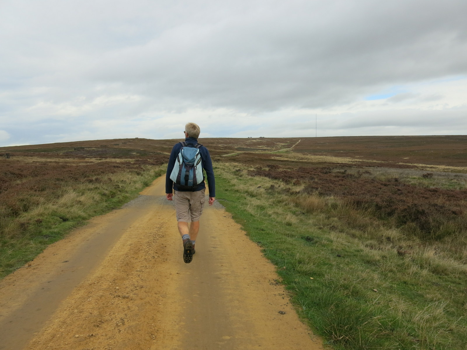
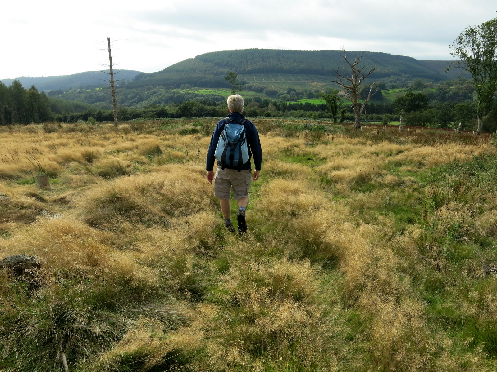
We passed through the Moor Gate and walked along the sandy path of Sunley Slack and after about a mile came to a fork in the road.  We took the left fork and followed the path, seemingly walking straight towards Bilsdale Mast.  To our right was Round Hill which is simply a collection of rocks and a bump in the heather. Just by this we saw a wooden post with a yellow way mark pointing left away from our track, across the moor towards Hazel Head Woods whose tree tops could just be made out on the horizon.  Although the way mark pointed the way we must go there was no sign whatsoever of any track, an experience which was to be repeated several times on this walk.  Obviously the area isn't being walked very much which is a real shame as it has so much variety.  


Sunley Slack

Looking back at Hawnby Hill

Male grouse with fine white gaiters

Turn left just past this post...

There should be a path here somewhere..

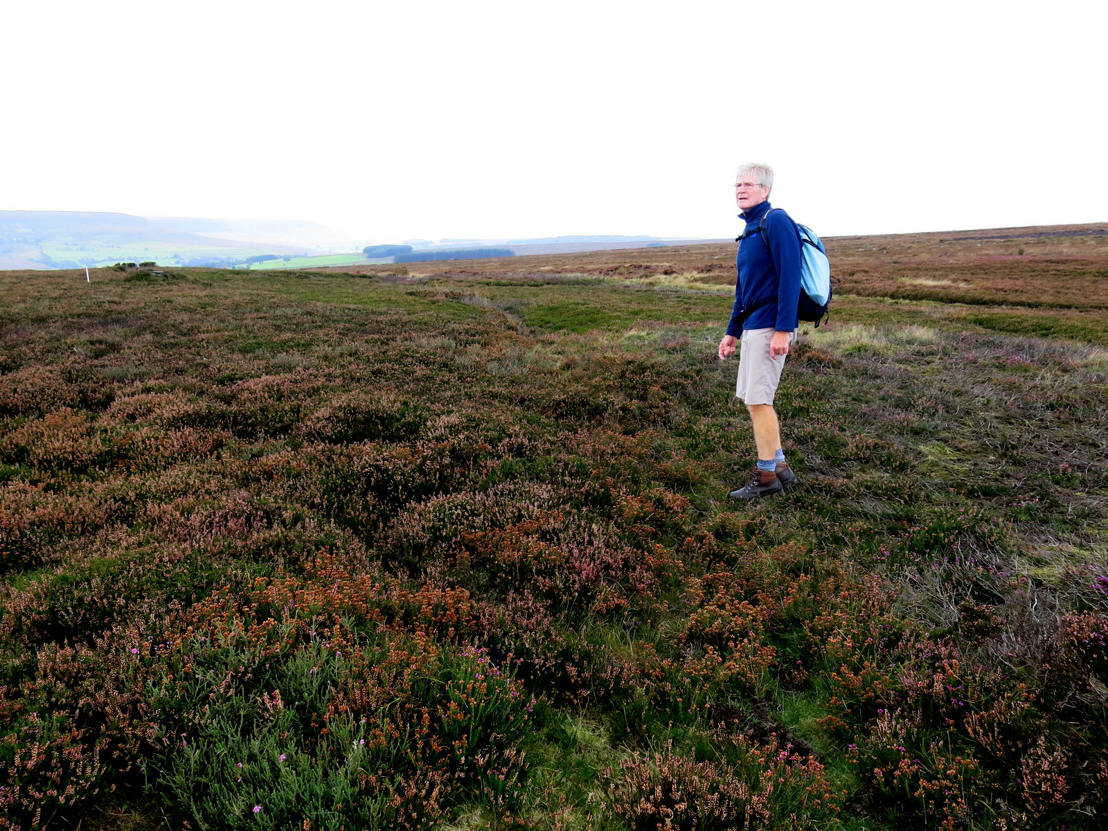
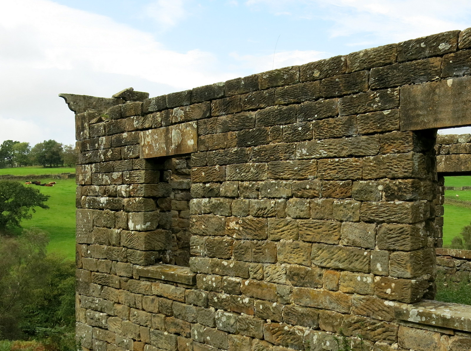
We followed a small path, almost hidden in the heather, until we came to a series of shooting butts, where we took up the more definite path which linked them together.  In a while the trees of Hazel Head Wood could be seen to our left and we headed across to the wood via a series of sheep tracks. We walked alongside the wood, gradually dropping downhill until the ruined Wesleyan Chapel suddenly came into view.

We reached the chapel and used a couple of its fallen stones as seat and table while we enjoyed our coffee and scones.

We stride towards Hazel Head Wood

The old ruined Wesleyan Chapel next to Hazel Head Wood

Remains of ornate brickwork

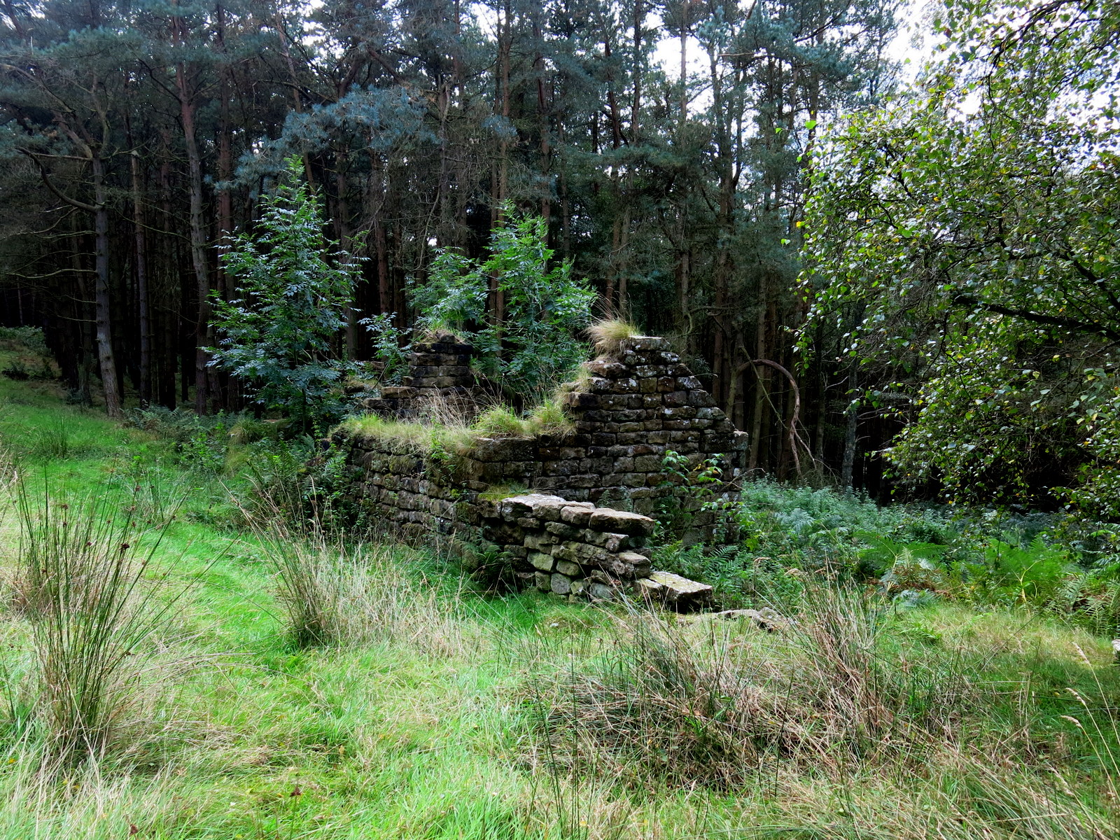
We retraced our steps and entered Hazel Head Wood, quickly coming to some ruined buildings.  TSB says these once belonged to High Hazel Head Farm which was last inhabited in 1946, surprisingly recent considering the state of the ruins.

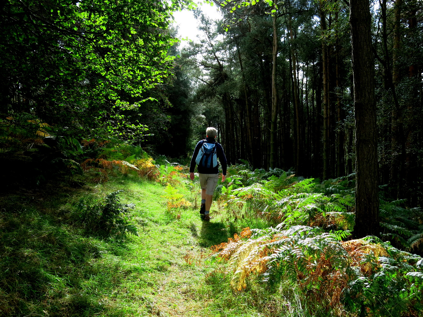
We followed a grassy track through the dark wood until, bearing left, we exited the wood above Hazel Head Car Park and the Osmotherley to Hawnby road.


Entering Hazel Head Wood

A grassy track through the trees

The ruins of Hazel Head Farm

We emerge into the light...

... and cross to Hazel Head Car Park

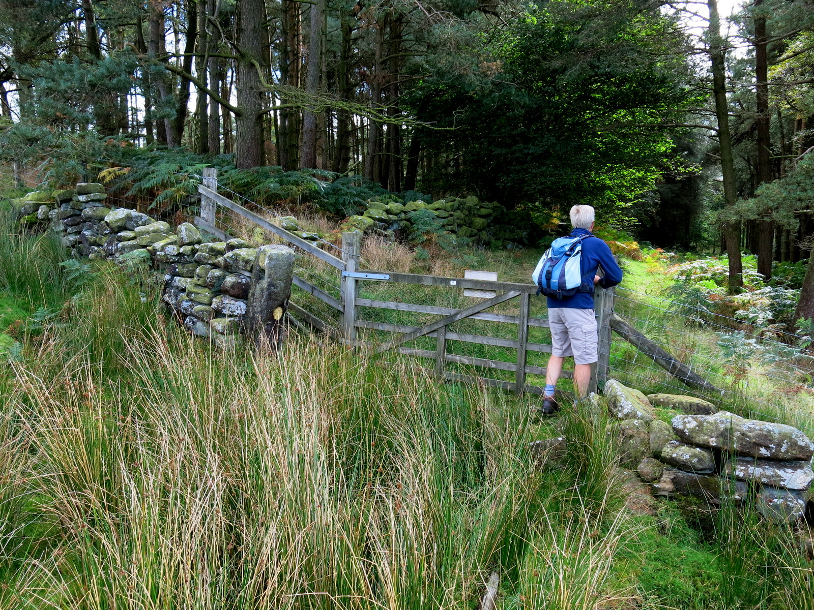
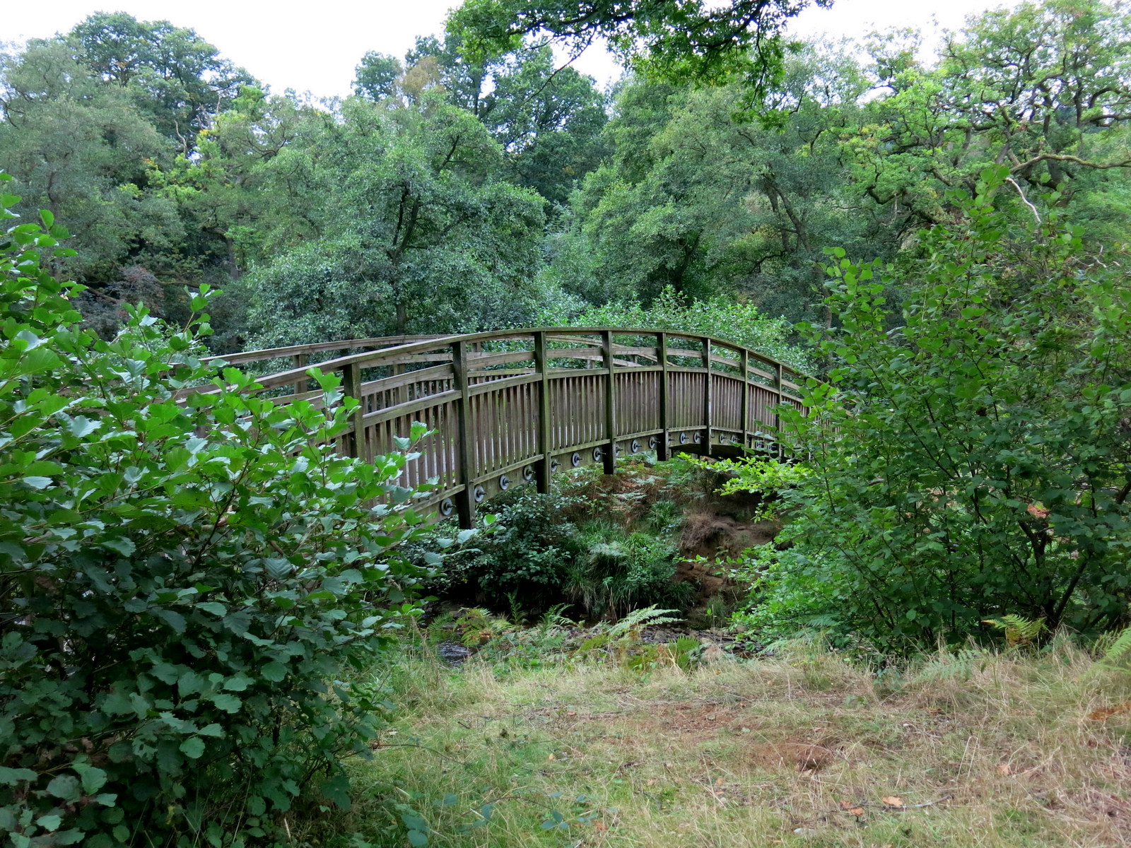
From the car park we followed the road left for a short time before turning into Ellers Wood at a footpath sign.  This stretch seems unwalked and is made difficult by self-seeded saplings which obstruct what used to be the footpath.

Hidden in these saplings is a bridge that a stranger to the path might find difficult to locate, as we did the first time we walked here.  We found the bridge and crossed the River Rye.


There should be a bridge in here....

There it is!

The Bridge Over The River Rye


We followed a grassy lane alongside Eskerdale Beck to a telegraph pole.  TSB mentions a ruined building at this location and we did spot it but the telegraph pole is a better landmark these days.

At this pole turn left and follow the hill steeply up to reach and cross a stile in a hedge, then follow the path into conifers.


Alongside Eskerdale Beck

Turn left uphill at a telegraph pole and aim for the next pole on the horizon

St Agnes House Farm below us

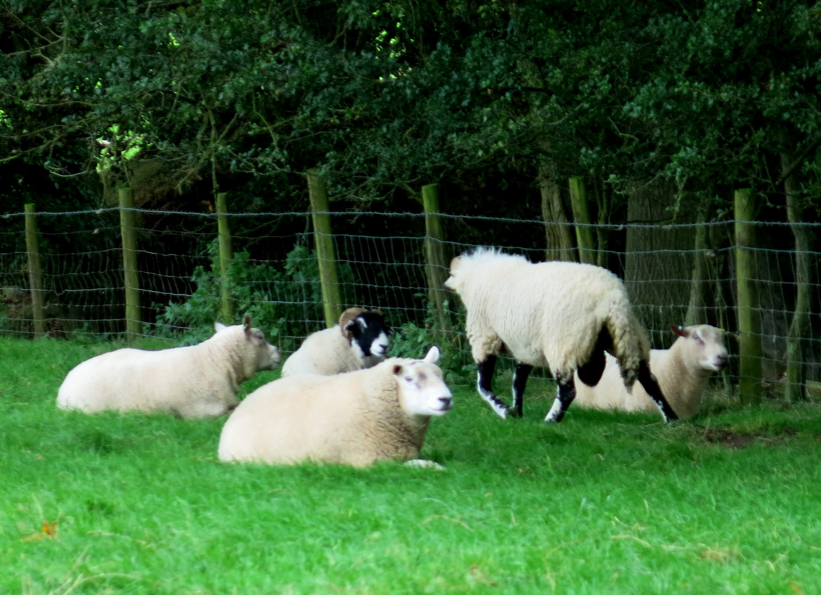
Rams chillin' in the sun

These conifers were full of pheasants which we disturbed with our heavy tread.  We followed our track alongside a beck and then into the trees of Blueberry Wood.  This whole area was wick with young pheasants which ran along the path in front of us.  There were feeders every few yards.  Eventually we emerged from the conifers above St Agnes Head Farm and to a surprise view.


Pheasants take to the air as we approach

Passing St Agnes House farm we dropped down to a nice ford where we crossed a footbridge into Low Wood.  Soon we came to the attractive arched bridge over the Rye, not mentioned by TSB as it post dates his book, being built to replace a bridge washed away by flooding in 2005.
We were astonished to find that much of the wood that makes Half Moon Plantation has been felled in the last year, leaving the arched bridge totally exposed downstream.


We spot the arched bridge over the River Rye

.... and then come across a scene of devastation!

Looking downstream from the bridge

A different view looking upstream!


From the bridge we had a short scramble up to a track leading right, coming out of the woods at the lonely Carr House.  From here we followed way marks (but no path) through several fields until we rejoined the Hawby road where we walked into the village and into the Inn at Hawnby.

A scramble uphill..

We pass above Hawnby Lodge...

... and reach The Inn at Hawnby
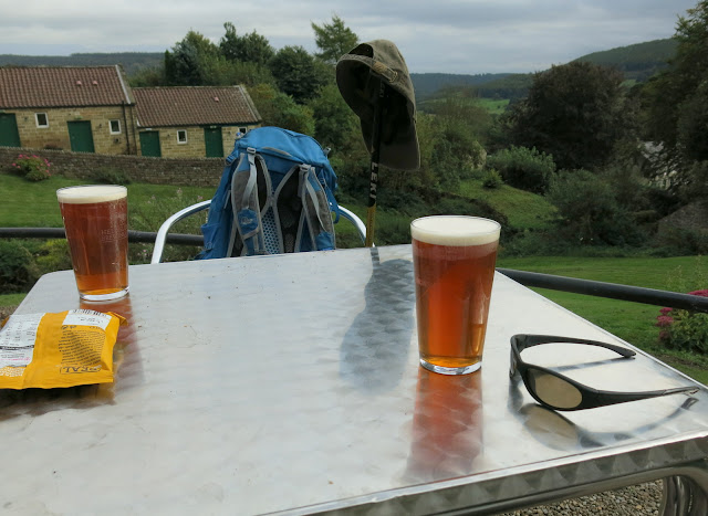
The Hiker's Reward


Friday 23 September 2016


No Blog this week, walking in the Lakes...


Overlooking Ullswater

Friday 16 September 2016


Tripsdale to Bransdale from Chop Gate


12.5 miles                          Hot and sunny


We left the Middlesbrough mist behind us at Clay Bank and drove into bright sunshine which stayed with us all day. 

We parked at the village hall just beyond Chop Gate.  As we entered the car park two walkers were just leaving and another two were standing by their car putting on boots. We noticed a pair of shoes had been left under a picnic table and asked the remaining two if the others had left them after booting up. They didn't know and made a couple of Cinderella jokes. Clive and I were surprised to see one of these walkers putting on knee length gaiters despite the heat.  We were even more surprised after returning from our walk to find the other cars gone but those same gaiters lying on the picnic table next to the shoes, which were also still there. Cinderella indeed!


Today's walk from The Walker's Guide to the Cleveland Hills

Village Hall, Chop Gate

We walked south along the B1257 until we saw a footpath sign indicating William Beck Farm where we turned off the road. 

A straight walk along the farm track brought us to William Beck Farm, long established according to TSB, who informs us that in 1160 it was named Willelmesbec.  We noticed the farm had a new weather vane of a bull, and were amused to see the farm cat, so hot he couldn't be bothered to lift his head as we walked past.

Turning off the B1257

Looking back towards Chop Gate from the farm track

William Beck Farm

Nice new weather vane

Just too hot to bother


The footpath bears right at the farm building and then climbs steeply to the moor gate.  Pressing on we soon dropped down Black Intake into the uninhabited hidden dale of Tripsdale.  Tom Scott Burns tells us in The Walker's Guide to the Cleveland Hills, that on the 12th February 1943, during World War 2, a Wellington Bomber returning to Croft after being hit over Holland crashed on Black Intake, killing all six crew.  Bits of wire and metal are still to be seen scattered in the heather. 

Climbing from William Beck Farm to the moor gate

Looking back to Clay Bank and beyond to the fog of Teesside

Heather has lost a lot of its colour

Dropping into Tripsdale, our outward path climbing ahead

Everyone but us seems to be sheltering from the heat today

We descended to the beck and had a brief look at the hidden valley, all so pretty except for the "ghastly constructed bulldozed track" as TSB describes it, which we followed up out of the valley.  As we climbed we looked to our left, up Tripsdale to Middle Head Crag which is a "jumble of fallen rocks and hidden chasms".  To our right we could see the ruins of a hut which was apparently the home of an old cobbler who used to sell clogs and shoes outside the Fox and Hounds Inn at Seave Green on Sundays catching the attention of the congregation coming down from Urra Church.  Thick bracken prevented us from entering further into the pathless valley to visit the ship stone, which is shown here on our last visit in the Spring of 2015.
 
Looking up the pathless valley towards Middle Head Crag


Tripsdale Beck

Remains of the cobbler's hut
  
Clive examines the Ship Stone on a previous visit
"All things are full of the Creator - John Hart, a man of Bilsdale 1849"


We climbed out of Trisdale onto Hagg Moor, a 'hagg' being a wood or coppice grown on broken ground. After a mile or so we came to two huts on the right hand side of the track.  In the mid-90s I took shelter in one of these huts after being caught in a storm and found that Tom Scott Burns had left leaflets in the hut advertising his Walker's Guides, to be picked up by passing hikers.  On our last visit Clive and I had a coffee here but today the huts were a mess inside, with sheep skins and bird droppings. We were ready for a coffee however, and sat outside in the sun to enjoy it, before resuming our walk across the moor.


We spook some sheep

Huts

Perhaps we'll have a coffee outside...

Shade


It was now noon and the day was at its hottest, with no wind or clouds in the sky.  Most of the sheep we passed were getting what shade they could and we could see their bodies heaving as they panted in the heat.

Our broad moor path is there for the benefit of game shooting and in another mile or so, just before the remains of Stump Cross, we came to a new lunch trailer which appeared to have full facilities where clients could rest after a hard morning shooting things. 

Immediately after Stump Cross is the almost hidden turn off to Bransdale.  There is a small cairn here but from the main shooters track the path down to Bransdale is nearly invisible.  It is important to note that as soon as you come to Stump Cross you should look to the left for the small cairn.  On the track and after 50 feet or so of walking through heather it suddenly became more distinct and we found a reassuring cairn every hundred yards or so. We soon came to a fine view down into Bransdale.

 
Shooters' Tuck Stop

Stump Cross

I am standing on the main track and Clive on the hidden Bransdale path.  Look for the small cairn in the foreground

The path becomes more distinct

The view down into Bransdale


The track led us down into Bransdale, crossing a small road, and to Colt House Farm, which is marked as Bransdale Castle on old maps.  From the farm we followed way marks across several fields and looked at the imposing Feversham Shooting Lodge and the small church of St Nicholas on the hillside to our left.  We descended to reach an old sun dial above Bransdale Mill and this seemed an excellent spot for lunch with fine views in all directions.  


Dropping down into Bransdale

Our passing is noted at Colt House Farm

Feversham Lodge and St Nicholas church

Dropping down to the sun dial and the old mill


This looks like a good spot for lunch

We sat at the sun dial and enjoyed our coffee and scones in the sun, with a good view down to the old mill, and reflected on the motto carved onto the sun dial, Time and Life move Swiftly.


I wonder what that means....

Ah, they've added a translation

Clive manages to avoid lens flare as the sun reflects from my head

The view from our coffee stop

We eventually decided we should move on and walked down passing through the gate of the old mill, which appears to have been tastefully restored although it seems nobody is living there.  There was a sign saying the mill had been restored in 1842 and the letters WS affixed to the wall were no doubt the restorer, William Strickland, whose name also appears on the sun dial. 

TSB says that Strickland's son Emanuel, who became curate at Ingleby Greenhow, was responsible for numerous inscriptions on the mill and nearby. We saw one in Greek on the back of the mill saying, "Rejoice evermore. Pray without ceasing. In everything give thanks."  together with a biblical extract in Hebrew from Proverbs, "The Fear of the Lord is the beginning of knowledge."

We climbed steeply to a tarmac road which we joined for a hundred yards or so before entering fields once more and continuing our climb past Cow Syke Farm and some conifers.  A long and very steep climb in the heat but eventually we reached the wide track of Rudland Rigg where the intense sun drove Clive to adopt a Lawrence of Arabia look.

Rebuilt 1842

Greek, Hebrew and English on mill wall

Looking back at the mill as we start our climb

Looking over at the church of St Nicholas

A long steep climb to reach Rudland Rigg

Heat can drive a man to do strange things...
We walked along Rudland Rigg sipping water.  I was to run out as we reached Bloworth Crossing having as usual brought plenty of coffee but only half a litre of plain water.

Half way along Rudland Rigg we saw a large flat mysterious standing stone, erected by primitive hands and known as the Cammon Stone.  TSB says the name is thought to derive from the celtic Cam denoting bank stone. There is a Hebrew inscription translated as Hallelujah! which is no doubt also the work of Emanuel Strickland.  


Another rest stop for shooters, on Rudland Rigg

Rudland Rigg

Clive contemplates the Cammon Stone

Hallelujah

The Cammon Stone


Rudland Rigg took us to the old Rosedale Railway track at Bloworth Crossing and the Cleveland Way.  We left the railway track shortly after as we headed west to Botton Head, the highest point of the North Yorkshire Moors, at 1500 feet.  Here we left the Cleveland Way at a side track to the left, and headed westwards across Urra Moor, dropping off the edge to descend into the moor lane to Bilsdale Hall. 


Every bit of shade is useful

Walking to Botton Head

The Face Stone

The Hand Stone and trig point on Round Hill

Panting sheep

Cooling down in the heather

We passed through Seave Green and then joined the B1257 for a walk along the pavement, back to Chop Gate.  

A splendid walk in the sun was to have a splendid end as we found the door to the Buck Inn at Chop Gate standing open.  We sat under a shady umbrella and beer has rarely tasted so good.


Urra Moor

Descending to Bilsdale


Hallelujah!