The Lord Stones to Cringle Moor and Clough
6 miles Wet and cold easterly wind
A poor weather forecast today so we decided to do one of Tom Scott Burns's shorter walks and drove to the Lord Stones Cafe where we parked with a clear conscience, knowing that we would give them our business on return.
 |
| Today's walk from The Walker's Guide to the Cleveland Hills |
 |
| The Lord Stones Cafe |
Tom Scott Burns explains that the Lord
Stones Cafe takes its name from the Three Lords' Stones tumulus, which
is situated immediately behind the cafe. The modern name for the
tumulus derives from the three estate boundaries held by the landowning
lords: Helmsley, Busby and Whorlton, which meet here.
We walked through the cafe grounds and
then
turned right to climb up to the summit of Cringle Moor and the stone
memorial often called
Falconer's Seat, named after Alec Falconer, who wrote the
'Wayfarer' column in the Saturday Evening Gazette in the 1950s.
 |
| Memorial plaque near to Lord Stones Cafe |
 |
| Leaving the cafe |
 |
| Looking back to the cafe positioned at 3 o'clock in the trees |
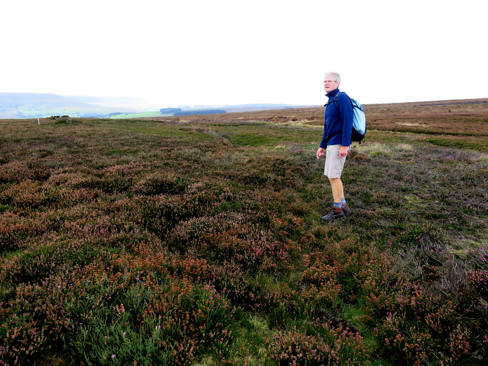
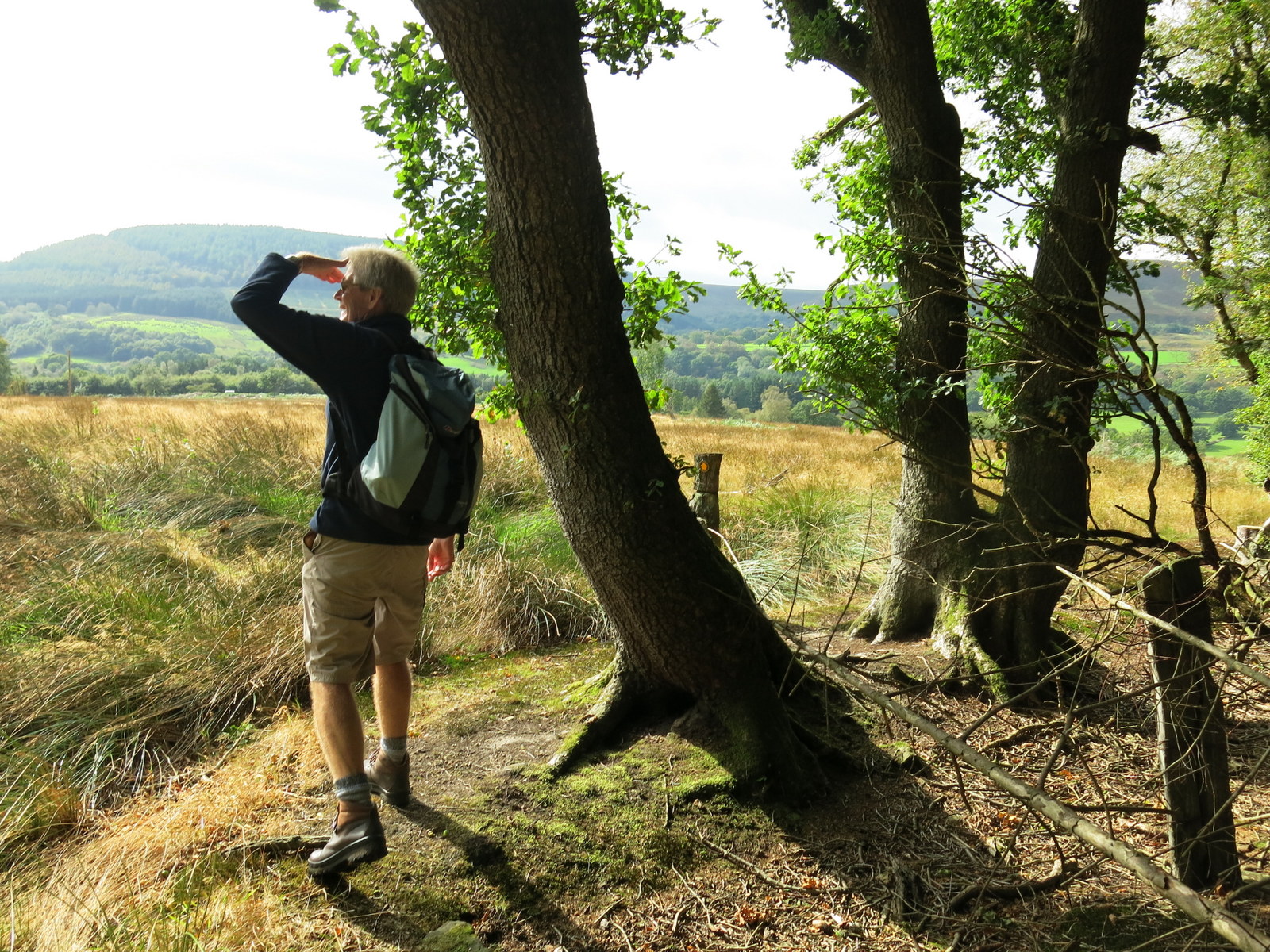
There's
a great view from this spot and the memorial's plaque points out all
the surrounding features, many of which were visible even in today's weather. Just as we arrived it started to rain heavily and a quick change into waterproofs was called for.
 |
| Clive at Falconer's Seat |
 |
| View east from Falconer's Seat |
 |
| View from Falconer's Seat |
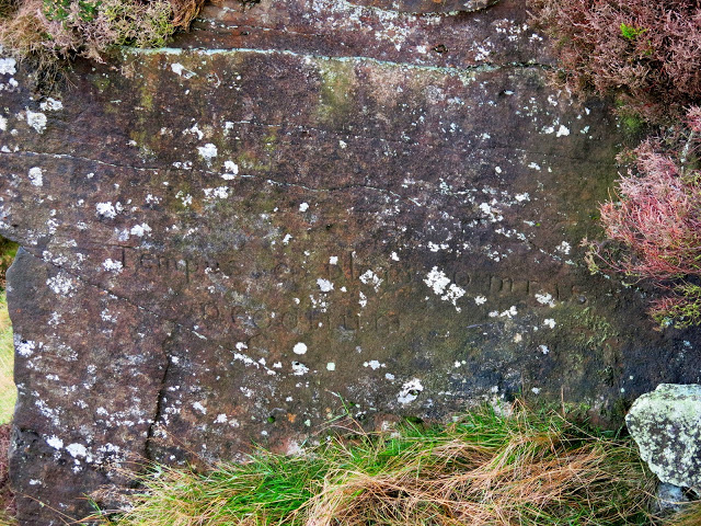
We walked on and after about 100 yards
looked down onto a rockface where long ago someone had carved 'Tempus exploro
omnis
negotium', which roughly translates as "I'll try anything once and
everything in time."
 |
| 'Tempus Exploro Omnis Negotium' |
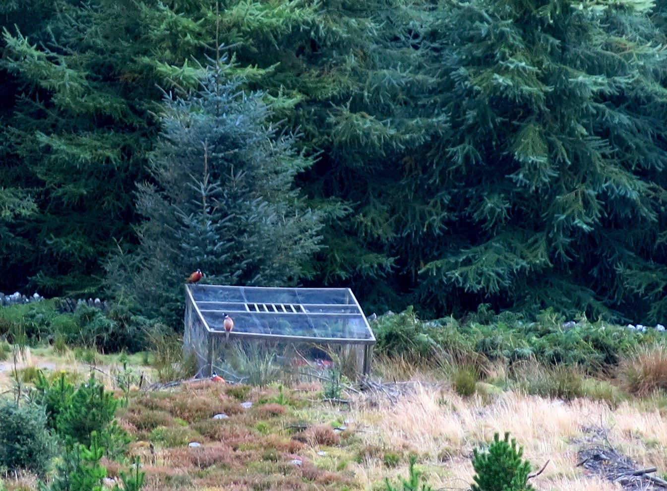
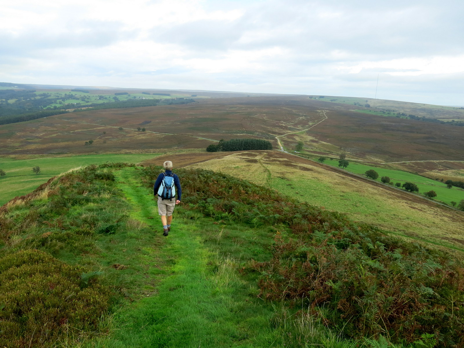
We were facing straight into the east wind and rain as we crossed the ridge and the steep descent from Cringle Moor (from Cranimoor - circular moor) had to be negotiated with care on the wet stones. Below us we could see a couple of pheasants sitting on a Larson Trap, which when baited is used to catch magpies and crows who pass through the slots into the trap and cannot get out. We could imagine the pheasants sitting on top of the trap and saying to the magpies, "Not so tough now are we...?"
 |
| Great Broughton from Cringle Moor |
 |
| Ridge on Cringle Moor |
 |
| Larson Trap |
Passing the old stone remains of Donna
Cross we reached a fallen Cleveland Way sign which would have pointed right with the words 'Beak Hills', and here we turned right.
There we saw a pink plastic box marked "Tupping Feed" and in it a sad sight. A mouse must have been attracted to the traces of food left in the box and been unable to get out. When it rained the mouse would appear to have drowned.
 |
| Donna Cross |
 |
| Turn right at the sign Beak Hills |
 |
| A sad casualty of the weather |
 |
| Poor little mouse |
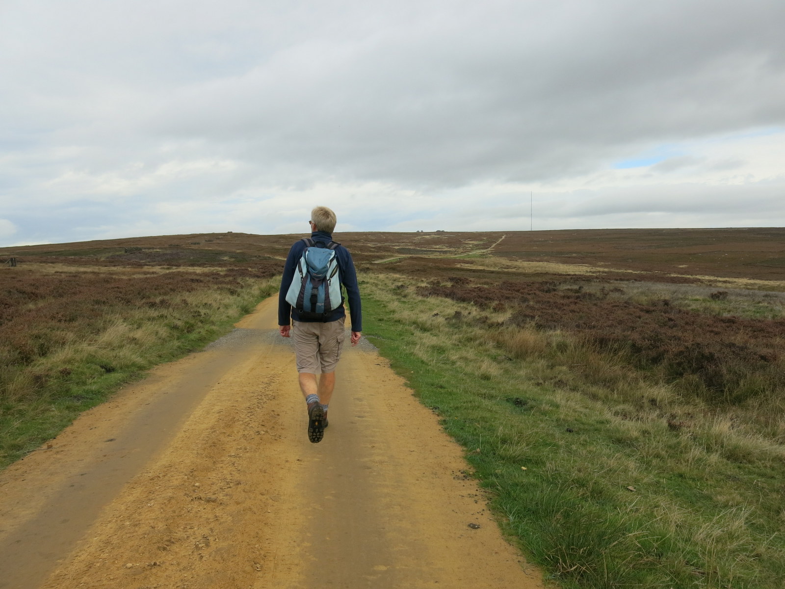
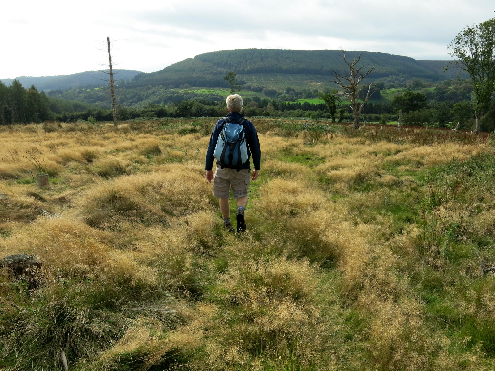
A walk across a grassy field brought us to a path that changed from
grass to stone as we progressed and eventually became tarmac. TSB says this was an
ancient pannierman's trod, along which lime, fish, salt, jet and alum
were once transported.
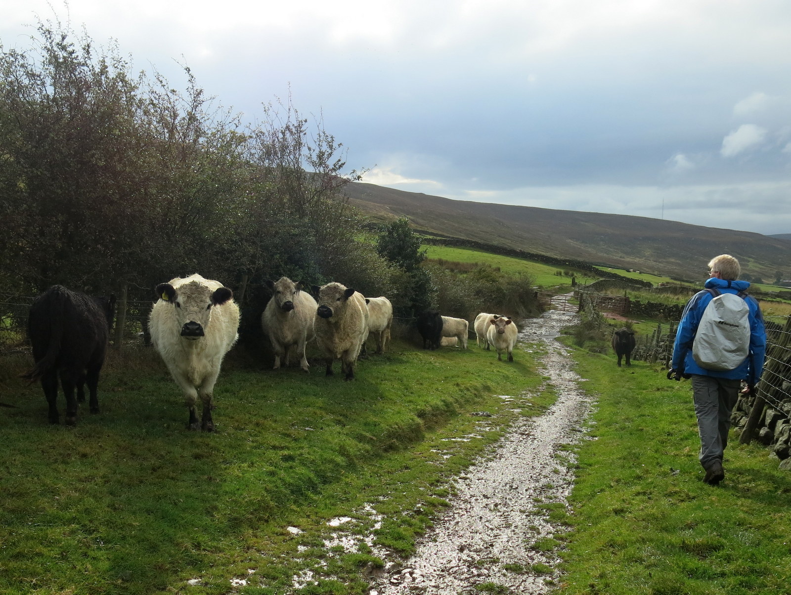
Our path was very wet and muddy and at one point we came to a small herd of white cattle, with a bull. There was no way to avoid them and nothing for it but to walk gamely past. They showed polite interest but made no threatening moves.
 |
| First a grass track.. |
 |
| .. then a muddy track |
 |
| What's that ahead on our path? |
 |
| I send Clive ahead to negotiate |
 |
| Roger, the bull |
 |
| White Galloways |
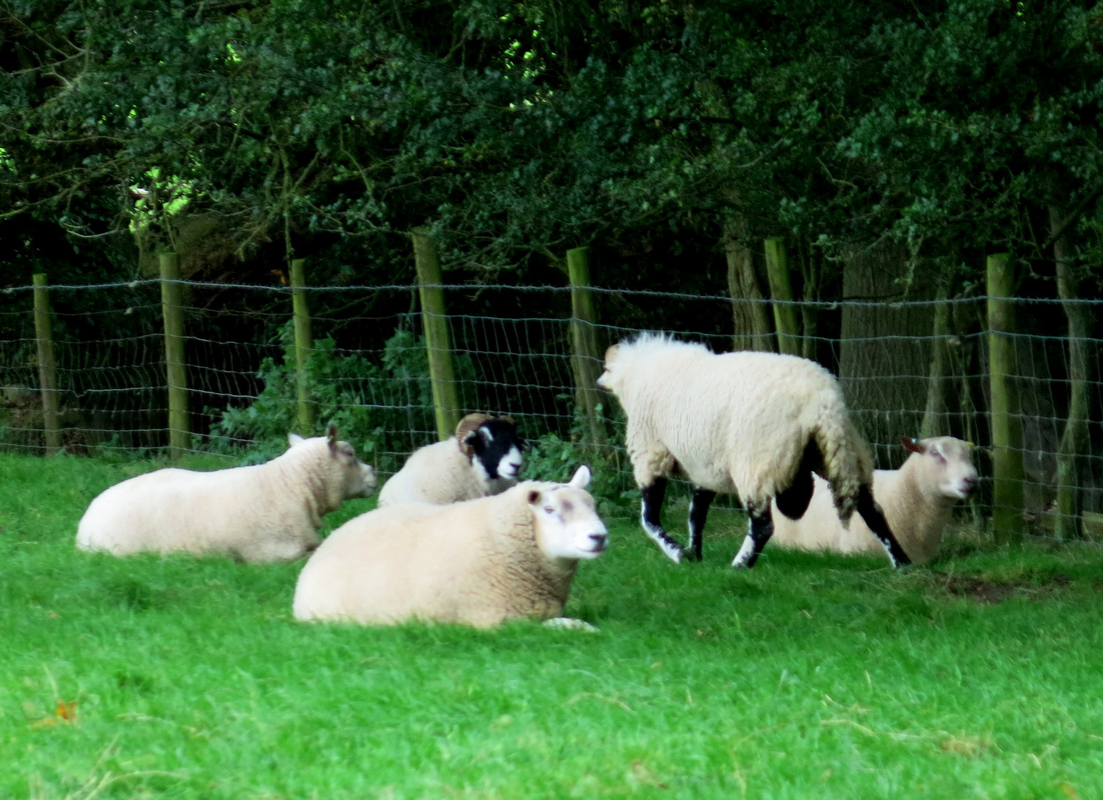
We passed by the cattle and soon reached Beak Hills Farm where we saw the lady farmer shearing sheep. We stopped to pass the time of day and she was happy to chat. First we wanted to know about the sturdy white cattle with black noses. They are White Galloways, she said, and still listed as a rare breed unlike the Belted Galloways. The bull was called Roger and was going to meet his maker next week, as he was lame and 9 years old. His replacement was in the next field waiting to take his place. A couple of Roger's sons were also in the field and were for sale. As yet there had been no prospective purchasers even though only 4 White Galloway bulls had been registered that year in the whole country.
She wasn't shearing the sheep, she said, just tidying them up around the tail, ready for tupping. They were Black Faced Northumberland Sheep, which look a bit like Swaledales but are heavier and give more meat. She then told us all about the White Galloways and the problems of selling stock. We thought it was very interesting to talk to her and that she had a tough but very rewarding life.
 |
| Oh no, horses now! |
 |
| Approaching Beak Hills Farm |
 |
| The farmer shearing ewes |
 |
| Sign at Beak Hills Farm |
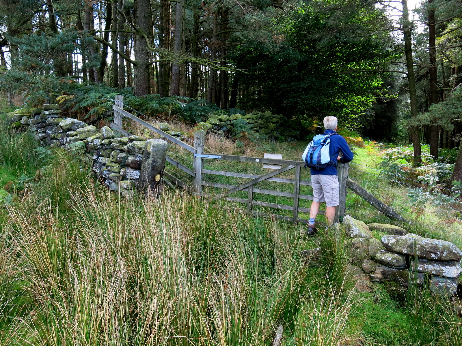
Saying goodbye to the farmer we continued along the track, now tarmac, towards Cold Moor Cote Farm and eventually reached Stone Intake Farm, where we turned right into a field at a sign, just before the farm buildings.
We now crossed several fields as we dropped down to Raisdale Beck and soon reached the Chop Gate to Lords Stone road, which we followed for a hundred yards or so before turning left into a drive leading to Raisdale Mill.
A convenient table and chairs were set on the footpath and we stopped for coffee and scones, soon joined by a couple of hens who shared our biscuits.
 |
| Dropping down across fields to Raisdale Beck |
 |
| We arrive at Raisdale Mill |
 |
| We settle down to a coffee... |
 |
| ... but are spotted by a couple of opportunists |
 |
| Hand fed! |
 |
| Ready for the pot? |
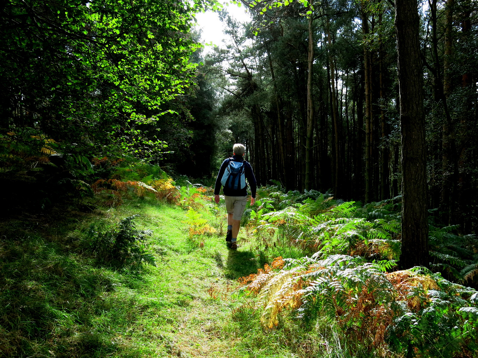
We set off from the mill, across the fields alongside
Raisdale Beck. The grass was extremely wet after after the heavy rain
and we splodged along until we reached a conifer
plantation and forestry path which made much easier walking. We
followed the forestry track until it crossed Raisdale Beck and swung sharply
left. At this point we turned right, following a yellow waymark sign
into fields and the remains of the hamlet of Clough.
 |
| Old milk churns make nice pots at Raisdale Mill |
 |
| We follow the stream |
 |
| Climbing towards the ruins at Clough |
 |
| Clough |
 |
| Another old milk churn, at Clough |
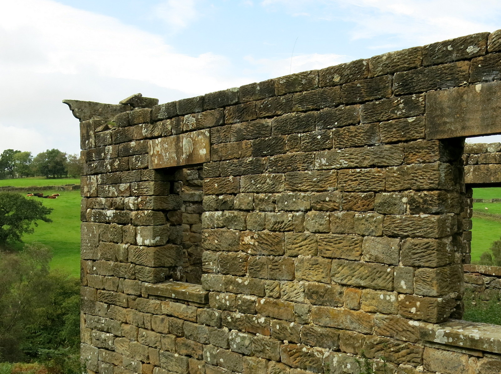
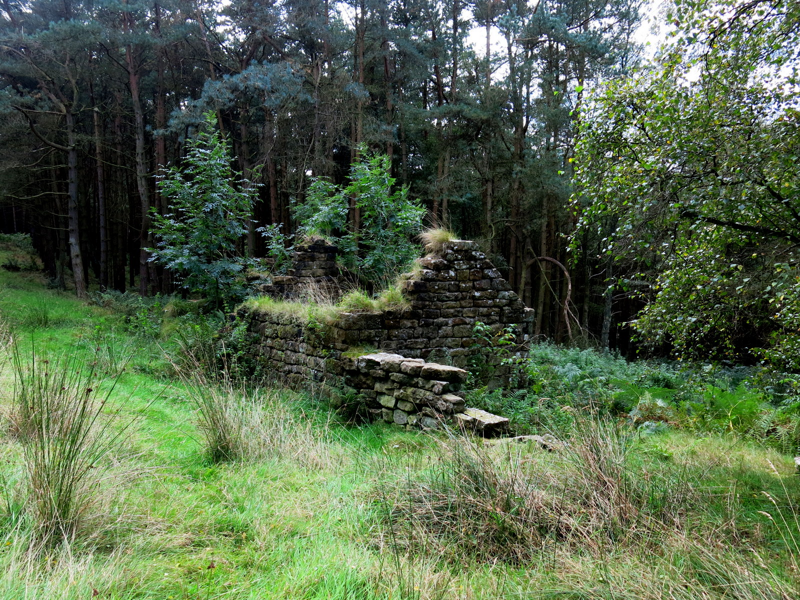
Clough, which comes from the Anglo-Saxon
word for a valley with steep sides, is a rather sad spot with fairly
extensive ruins showing that it was once thriving. After
Clough the path crosses several boggy, reedy fields. There is no path
as such but yellow waymarks indicate the way at every field boundary. We
continued straight ahead until we passed by the side of Staindale
Farm.
 |
| Staindale Farm appears in the distance |
 |
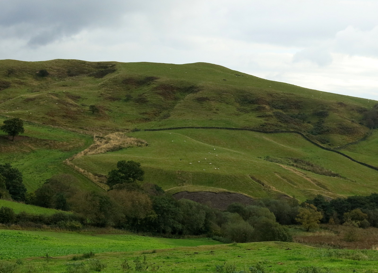
| Quarrying workings on the opposite hills, shown on TSB's map as 'Old Workings' |
 |
| Staindale Farm |
 |
| Sheep weather vane at Staindale Farm |
After Staindale Farm we followed the track straight through the fields, stopping to examine a giant puffball fungus, which we first thought must be a child's ball, until I prodded it with my walking pole and released a cloud of spores.
 |
| Clive gives it a tap.. |
 |
| Giant puffball fungus |
We soon reached Thwaites House, and shortly after, the tarmac road almost adjacent to the Lords Stone Cafe.
 |
| Thwaites House |
 |
| Thwaites House |
 |
| Pond at Thwaites House |
 |
| Big rosehips, Thwaite House |
As we entered the cafe the sun came out, just as we ordered a couple of pints of John Smiths, and we were able to sit outside to enjoy them.